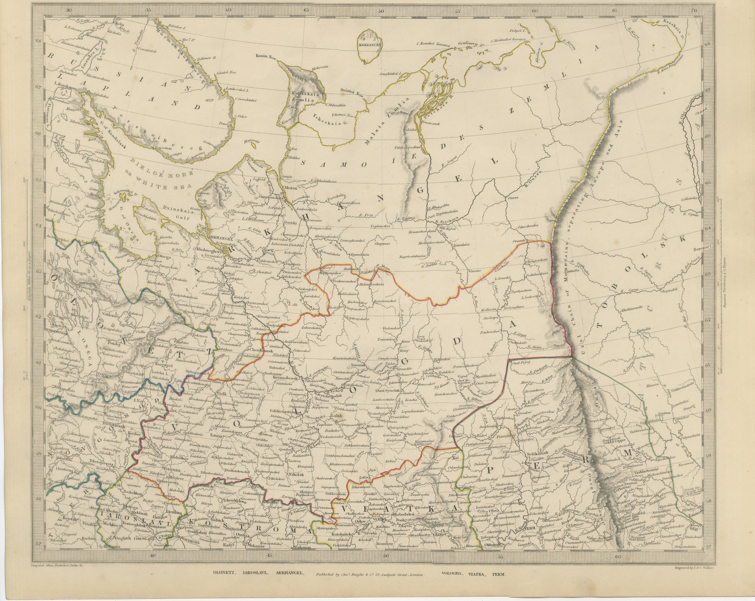
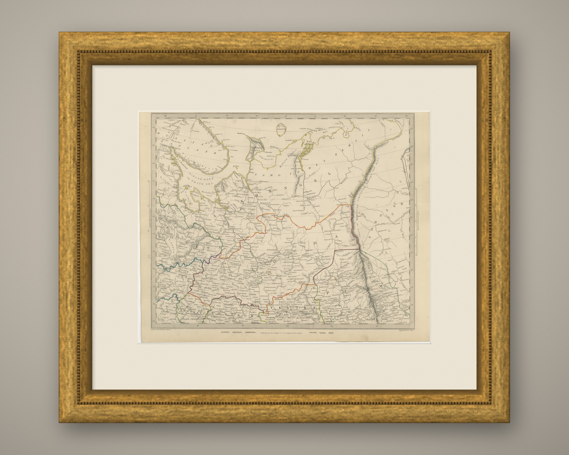
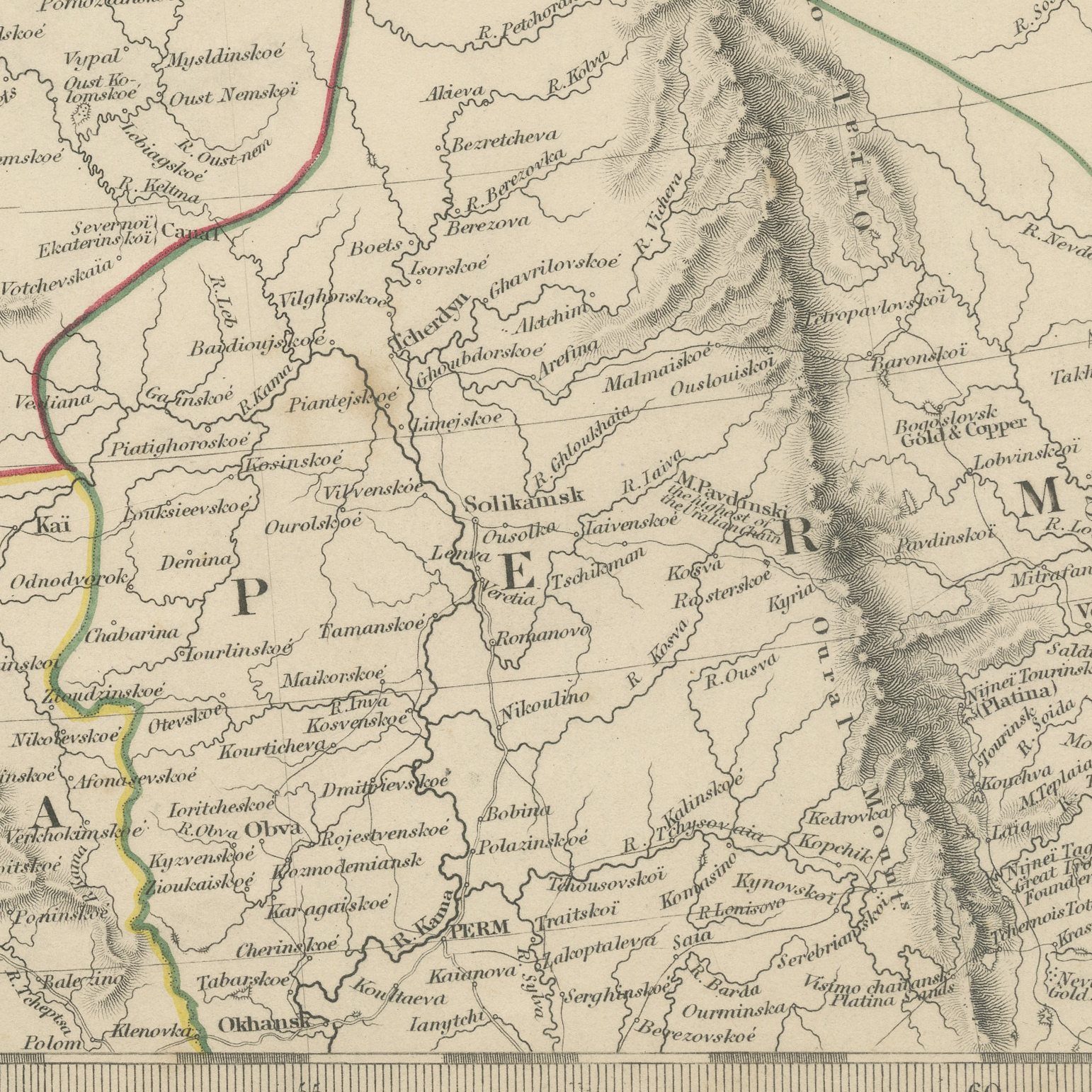
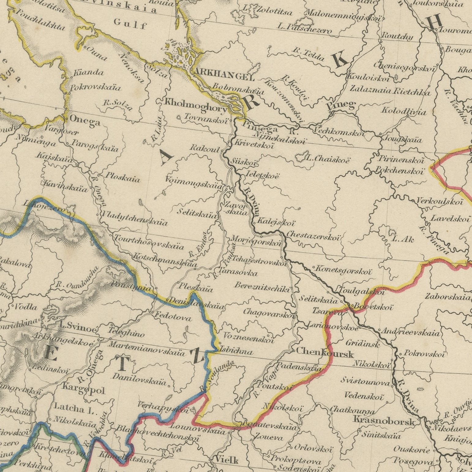
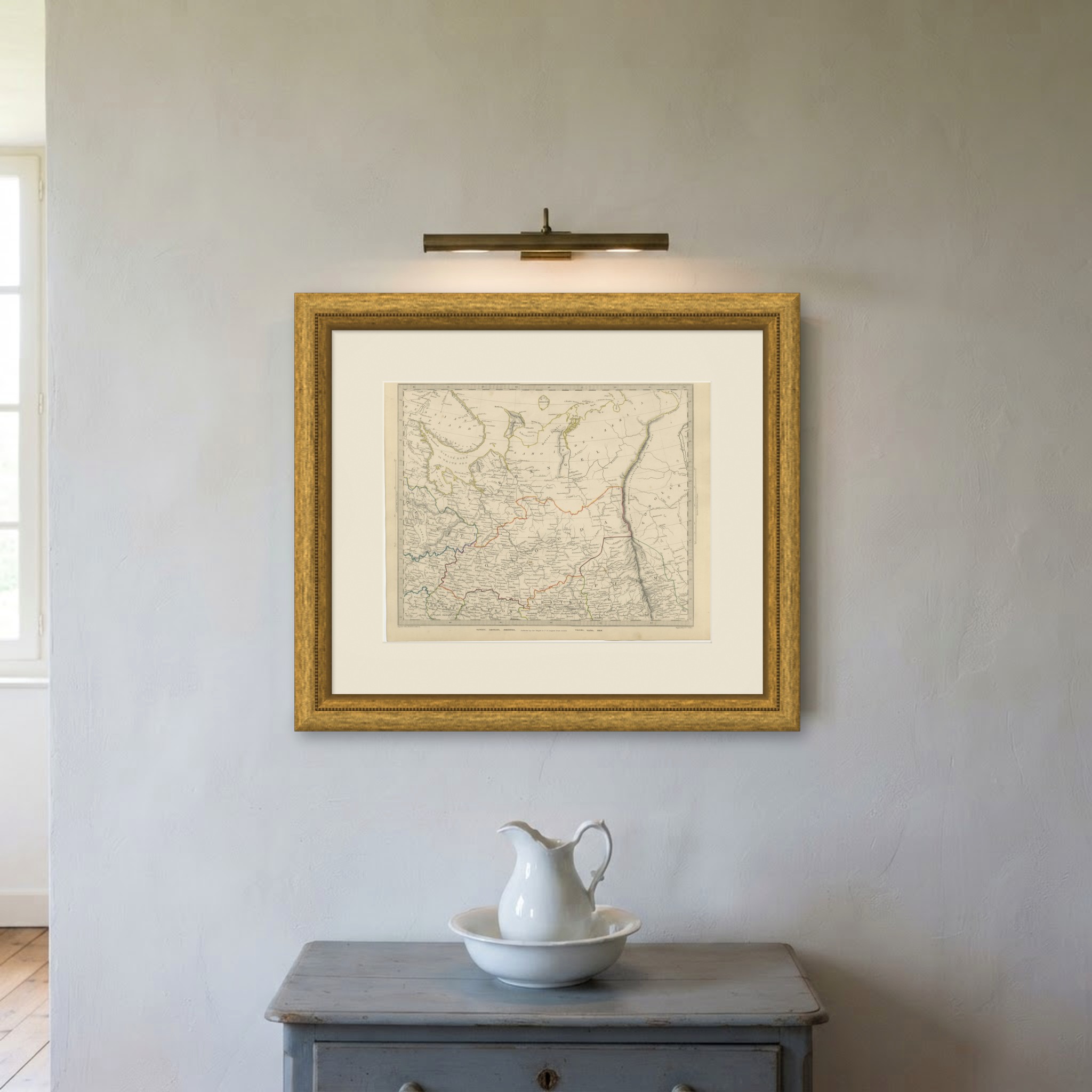
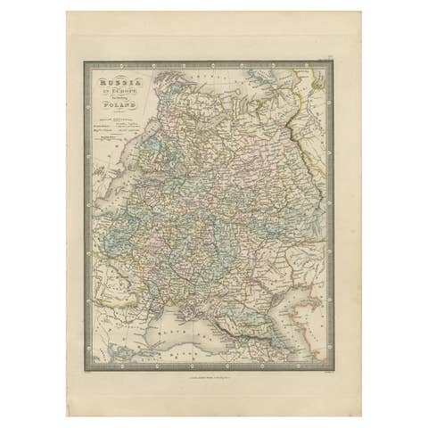
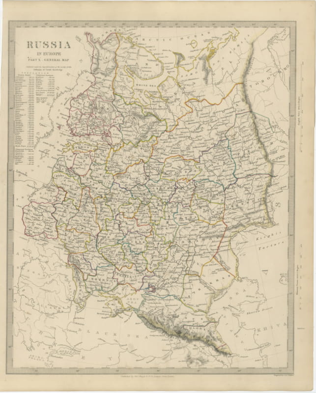
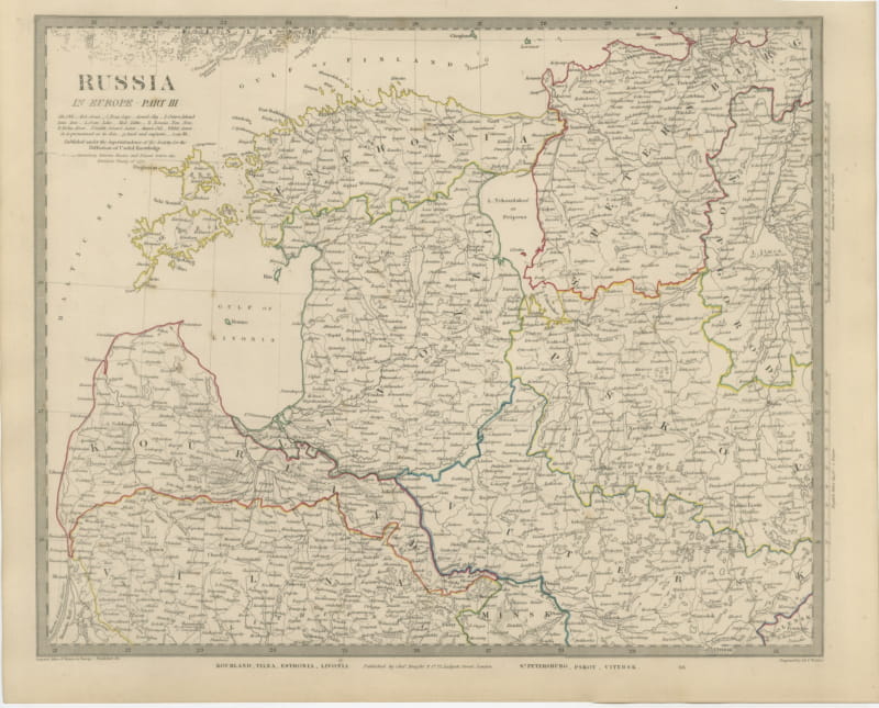
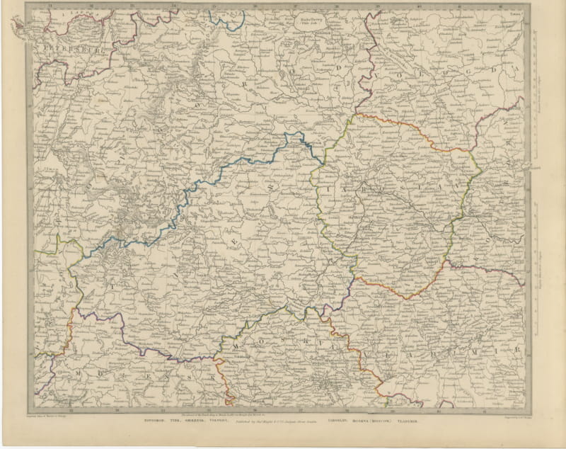
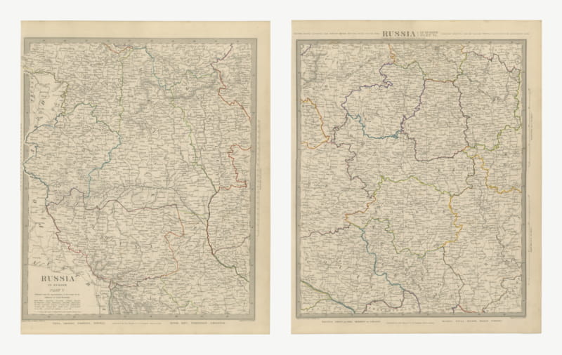
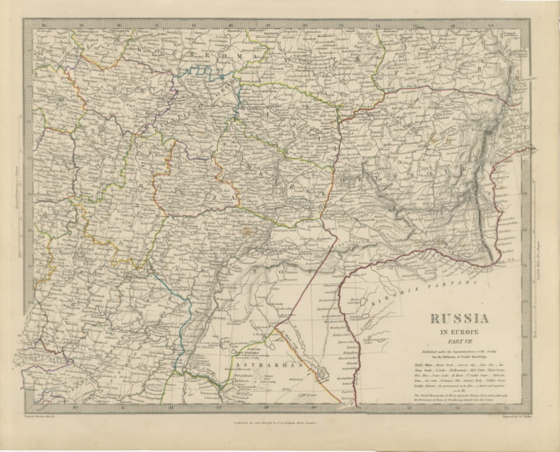
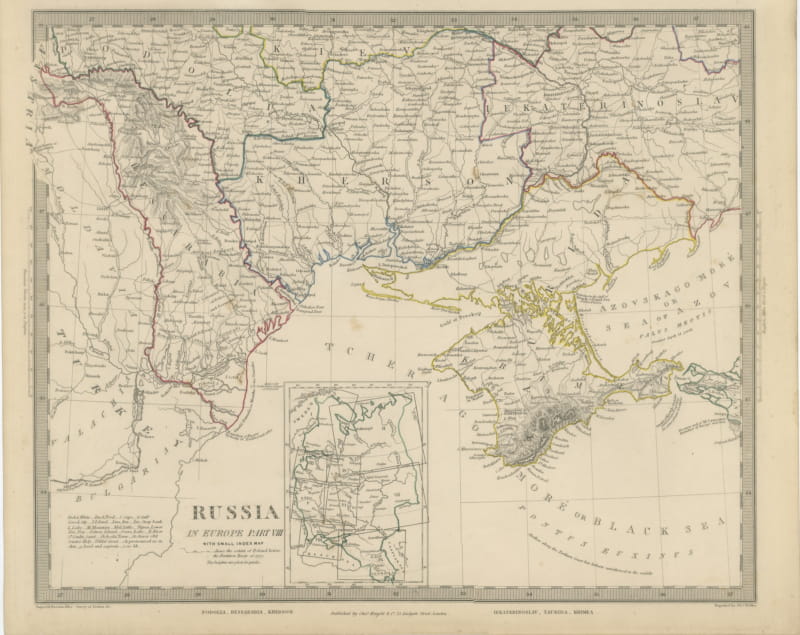
Arkhangel Vologda and Perm, Antique Map of Northern Russia, 1845
US$216
Original antique · The actual sheet photographed · Certificate of authenticity on request · Sold unframed · Worldwide shipping from € 15 (rates)
Date
1845
Mapmaker / artist
Society for the Diffusion of Useful Knowledge, London; engraved by John and Charles Walker
Publisher
Charles Knight and Company, 22 Ludgate Street, London
Technique
Steel Engraving
Coloring
Original hand color
Sheet size
35 × 43.5 cm (13.8 × 17.1 in)
Condition
Good
Reference
BG-14487-2-58
What the condition grades mean
Excellent
Bright and clean, with no faults worth mentioning.
Very good
Only light signs of age, such as faint toning.
Good
Normal signs of age for a sheet of this period: toning, some foxing, small marks or neat old repairs.
Fair
Clear faults such as staining, tears or repairs, priced to match.
Every fault we see is written in the condition note, and the whole sheet is shown uncropped in the photos.
Condition
Strong age toning, the paper a warm buff, with the paper darker along the bottom edge, scattered specks in the margins and handling wear to the bottom left and bottom right corners. The printed image itself is clean.
About this sheet
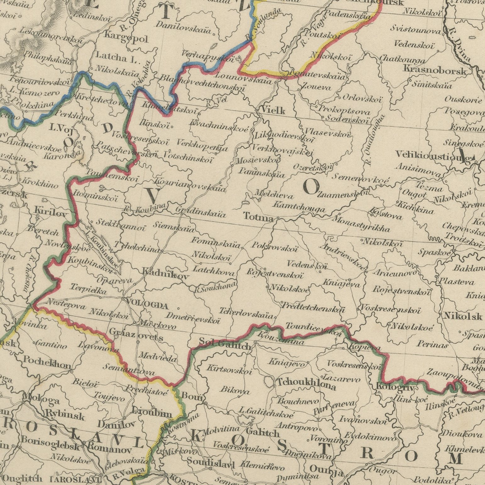
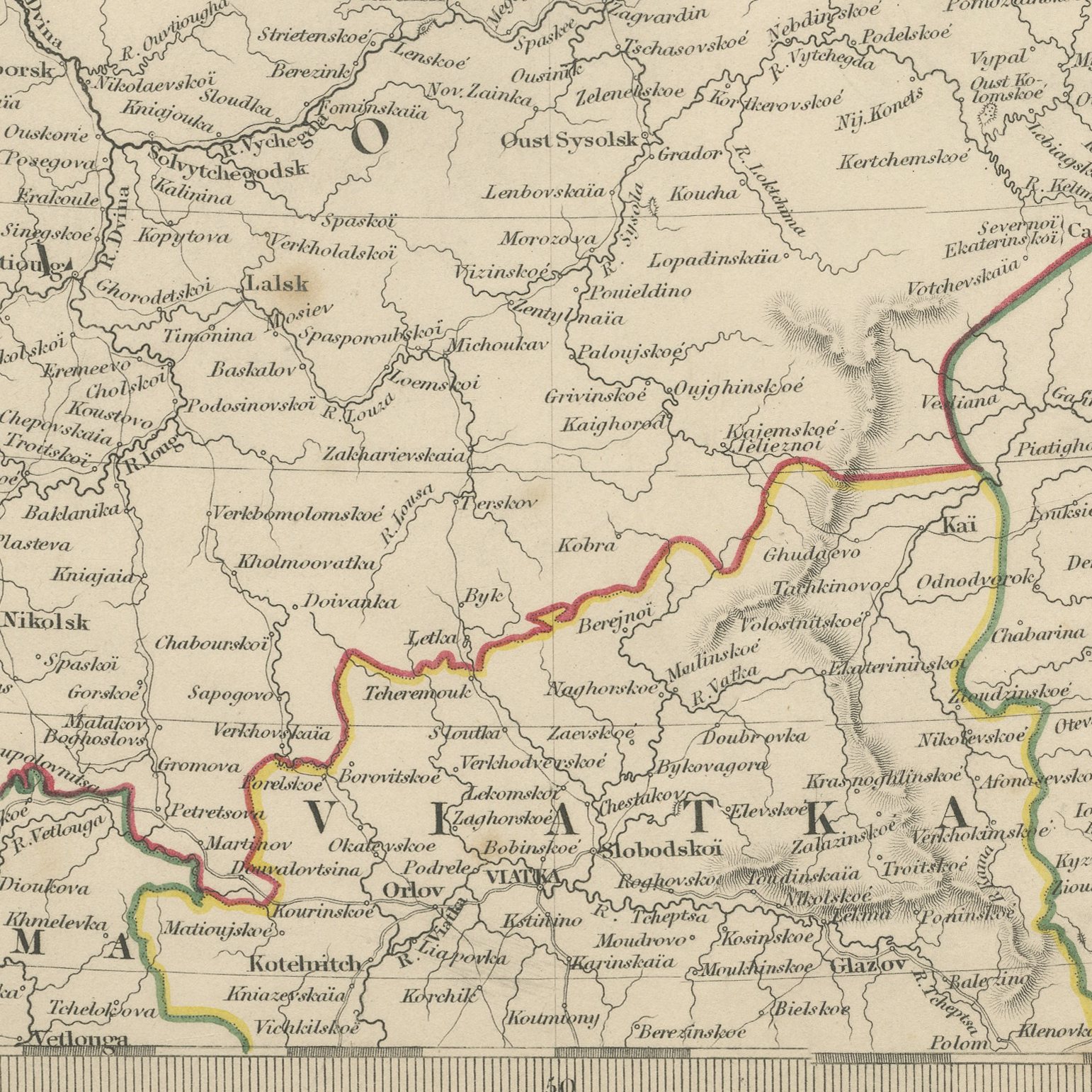
This antique map of 1845 covers the whole of northern Russia, from the Kola peninsula and Russian Lapland in the west across the White Sea and the Arctic coast to the Urals and the border of Siberia. Six governments are named in the lower margin, Olonetz, Iaroslavl, Arkhangel, Vologda, Viatka and Perm, and each is bounded in a band of hand applied color in orange, green, red and blue. The White Sea, lettered Bieloi More, is engraved with the Dvinskaia Gulf and Archangel at its head; the Murman coast runs west to Kola; and the Samoiede country, Dolgoi Island and the Karskaia Gulf fill the Arctic north east. The Ural Mountains are drawn down the right of the sheet in a long green chain, lettered as the mountains separating Europe and Asia. The sources beneath the map name the Imperial Atlas and the surveys of Piadichev and Lutke.
The plate comes from Maps of the Society for the Diffusion of Useful Knowledge, in the new edition corrected to the present time that Charles Knight and Company published at 22 Ludgate Street, London, in 1845, whose first volume covers Europe. The Society was founded in 1826 by Henry Brougham and his circle to publish useful knowledge at a low price. Its maps were issued in parts from 1829, first by Baldwin and Cradock, from 1842 by Chapman and Hall and then by Charles Knight, and the series grew to about two hundred maps. Most of them were engraved on steel by John and Charles Walker, and the outline color was applied by hand.
The plate is signed by J. and C. Walker as engravers. The imprint at the foot names Charles Knight and Company of 22 Ludgate Street, London.
Strong age toning, the paper a warm buff, with the paper darker along the bottom edge, scattered specks in the margins and handling wear to the bottom left and bottom right corners. The printed image itself is clean.
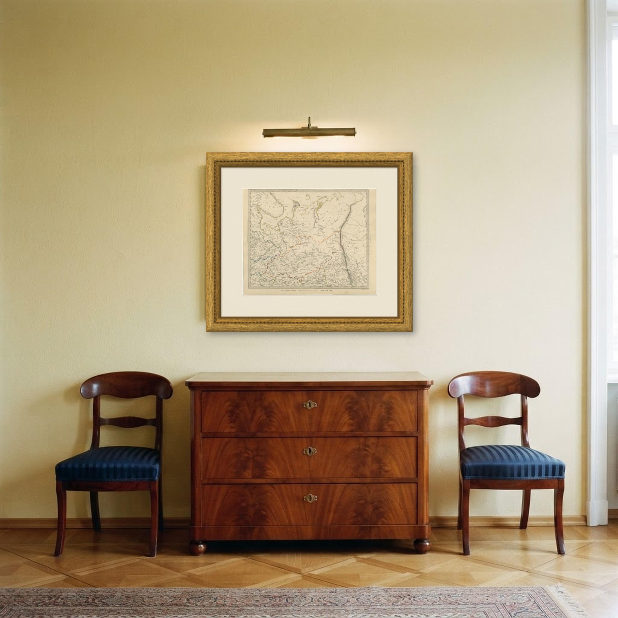
This is an original antique map, not a modern reproduction. This item is sold unframed. Any framed or interior images are shown for presentation and inspiration only, unless the listing explicitly states that the item is sold framed.