About this sheet
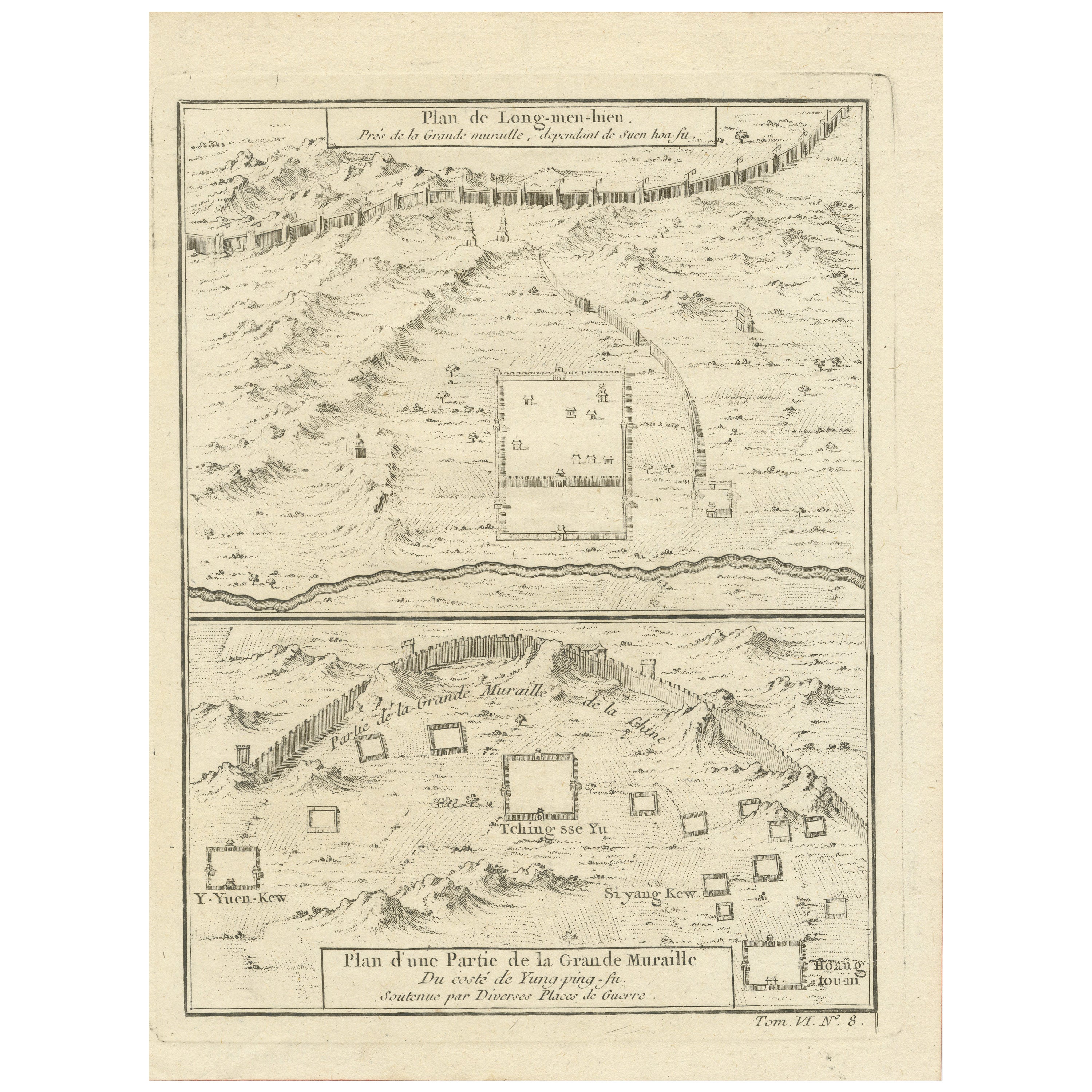
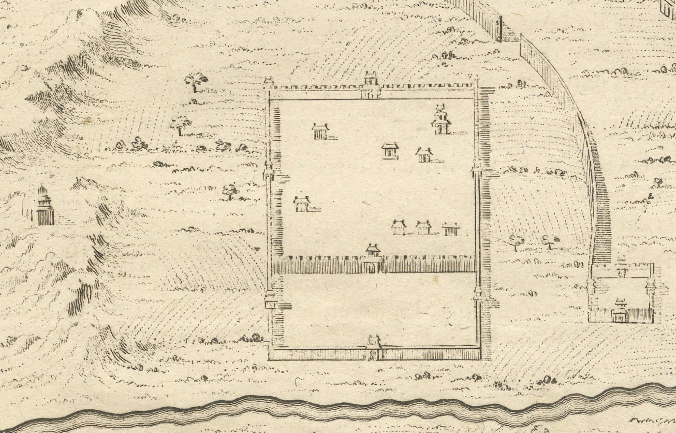
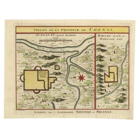
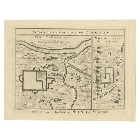
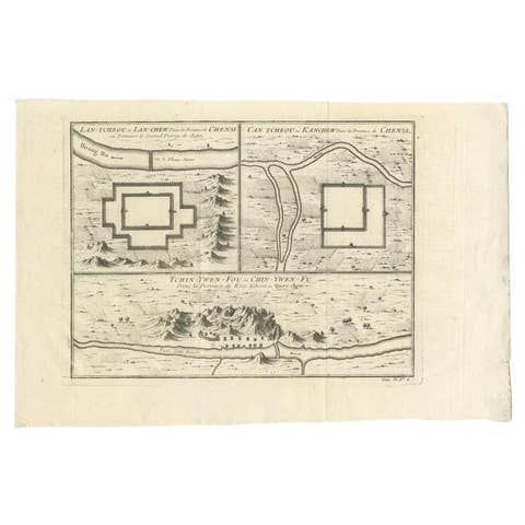
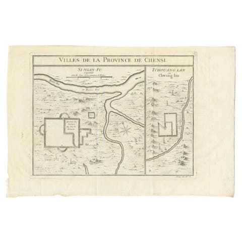
This original antique image is an historical map by Jacques Nicolas Bellin, depicting the Great Wall of China as it was understood in the mid-18th century.
The map includes French text.
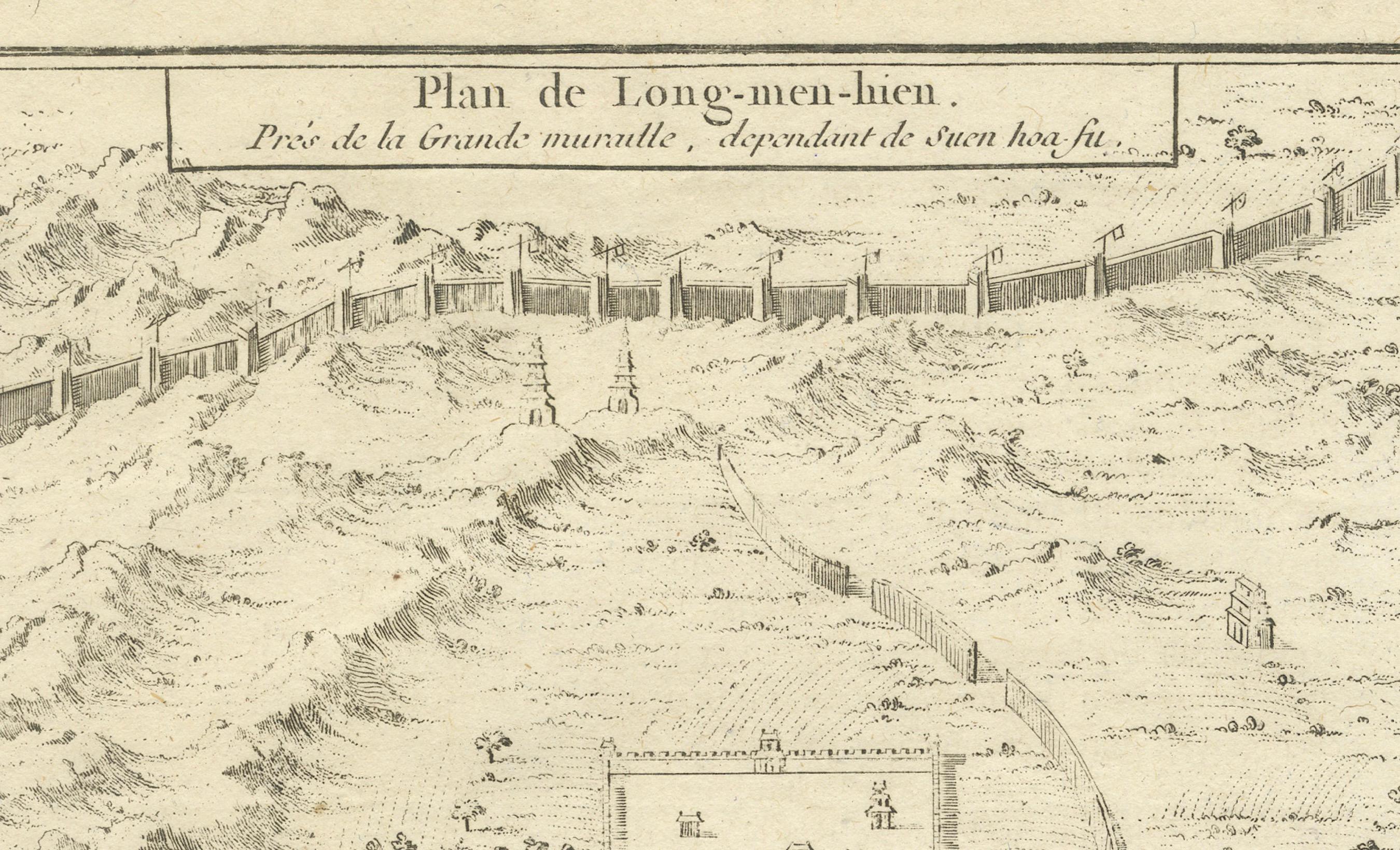
The title of the map, "Plan de Long-men-hien. Près de la grande muraille, dépendant de Kiang-nan fu." translates to "Map of Long-men-hien. Near the great wall, depending on Kiang-nan fu."
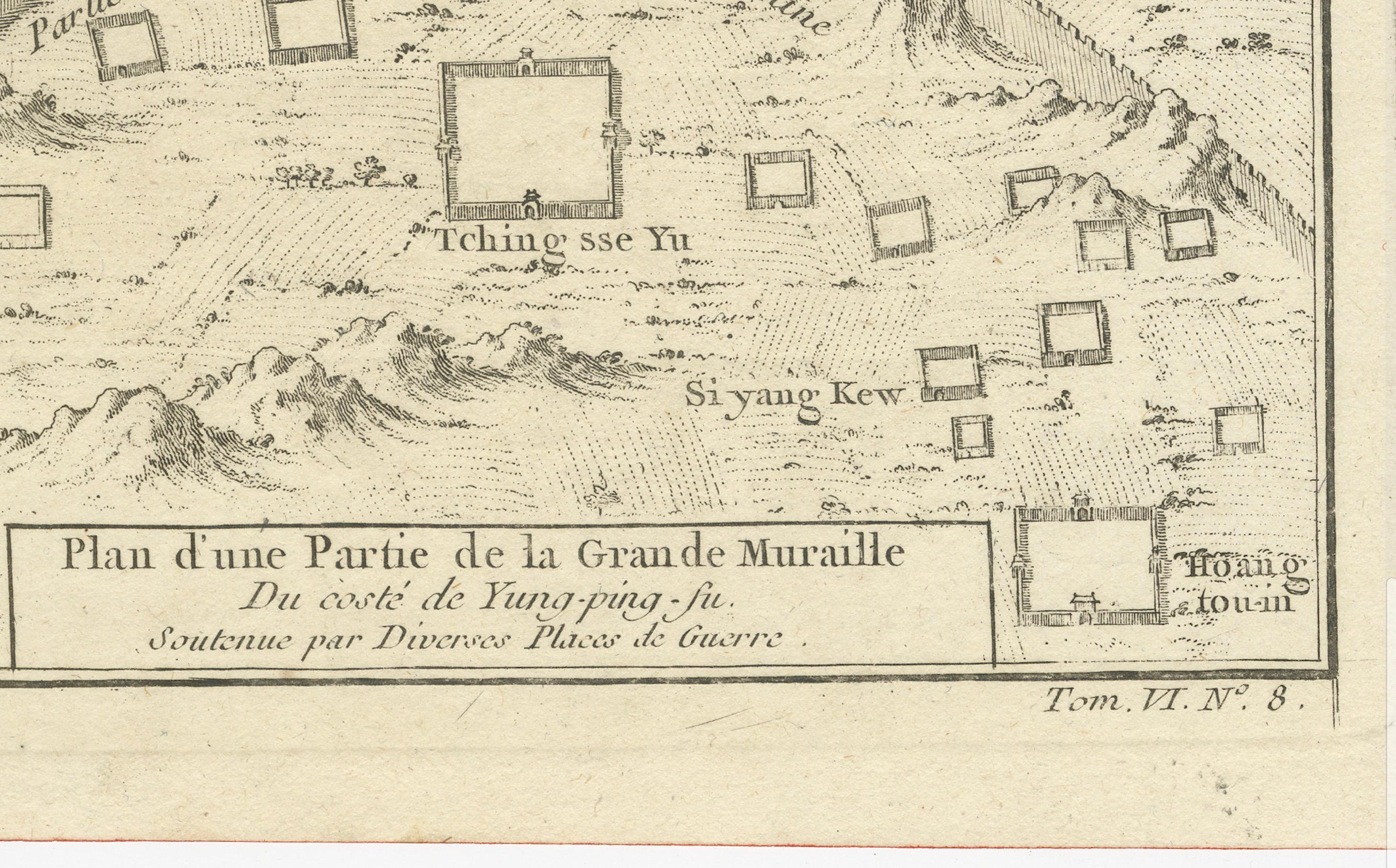
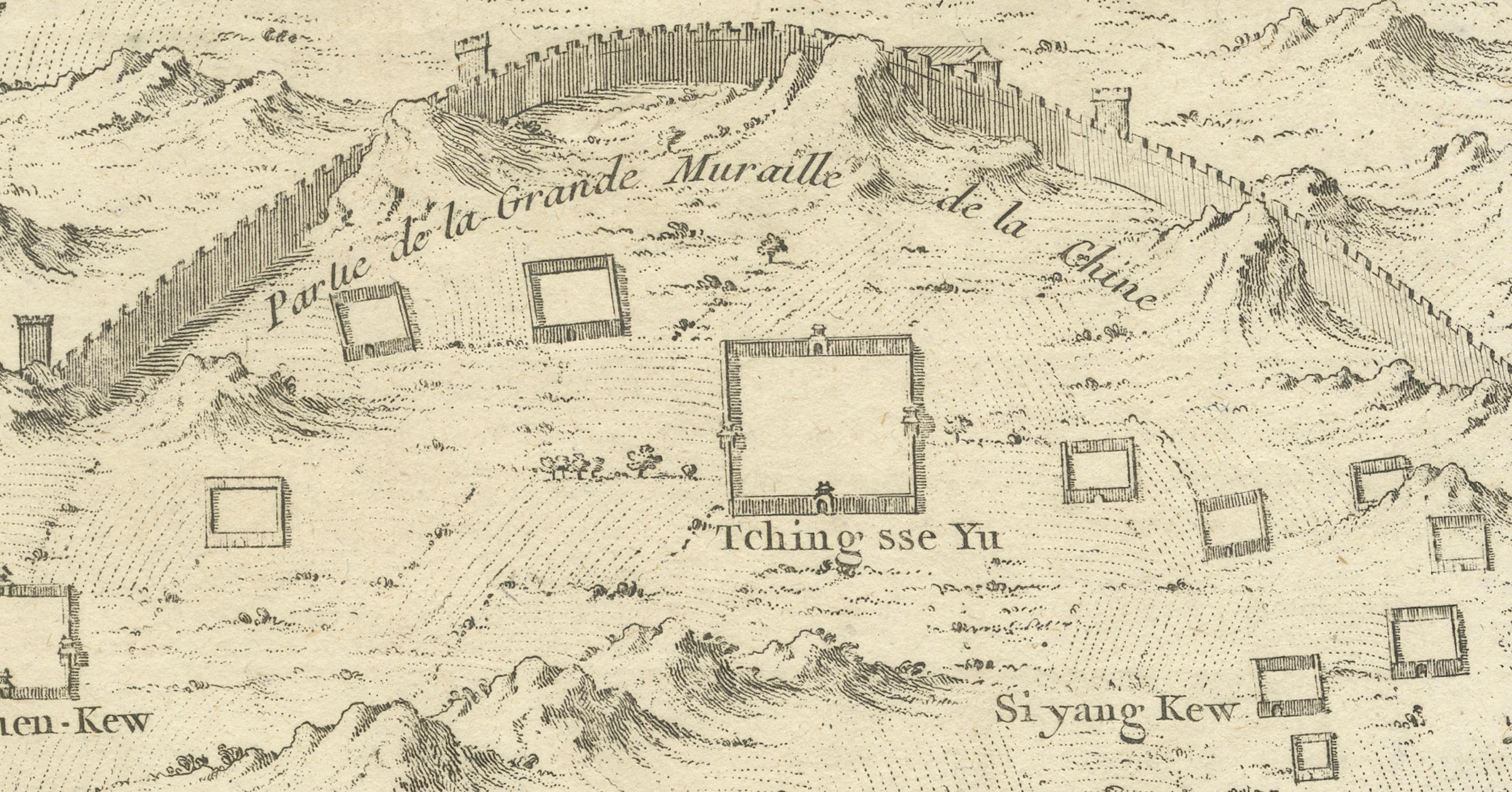
The text below, "Plan d'une Partie de la Grande Muraille Du côté de Kiang-ning-fu. Construite par D'anciens Planteurs de Guerre," translates to "Map of a Part of the Great Wall On the side of Kiang-ning-fu. Built by Ancient War Planters."
The map showcases the detailed topography around segments of the Great Wall and labels various sections and nearby locations. At the time, European knowledge of China was still limited and often filtered through the accounts of missionaries and traders, which makes Bellin's work a significant early attempt to systematically chart such a remote and iconic structure as the Great Wall.