Maps & PrintsBartele Gallery · Langweer
Home / Antique Maps / Europe / Central Europe

Central Europe · 17th century

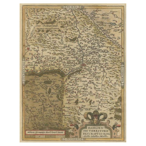
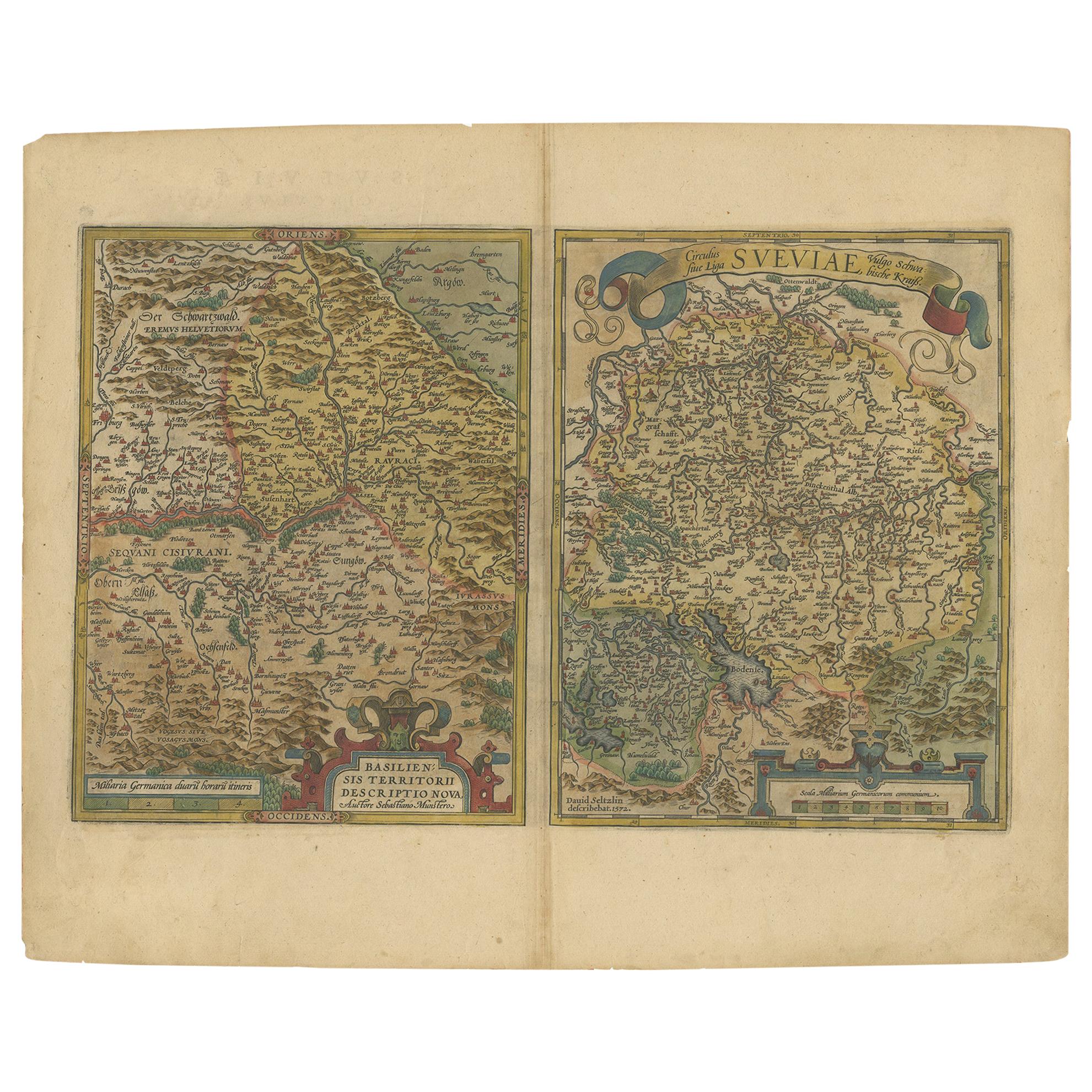
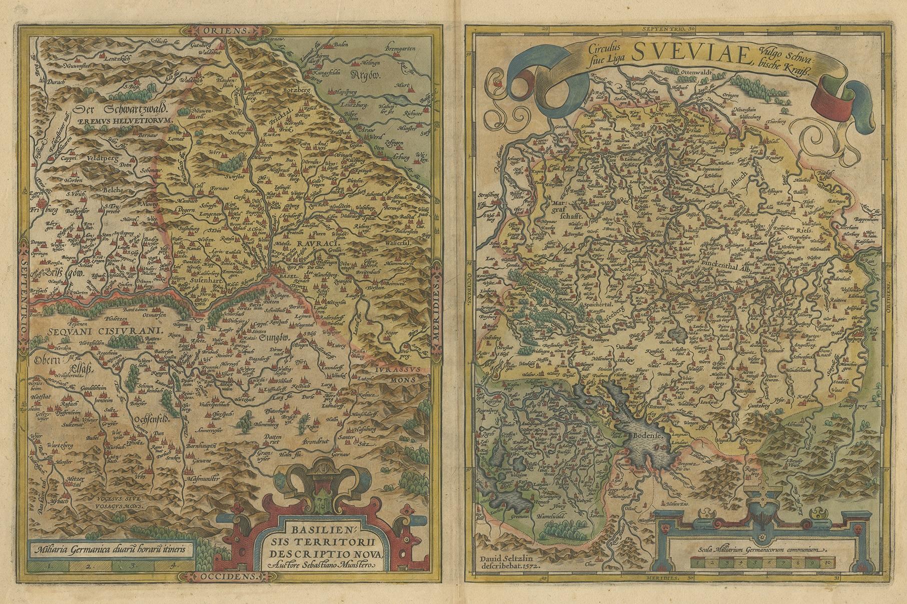
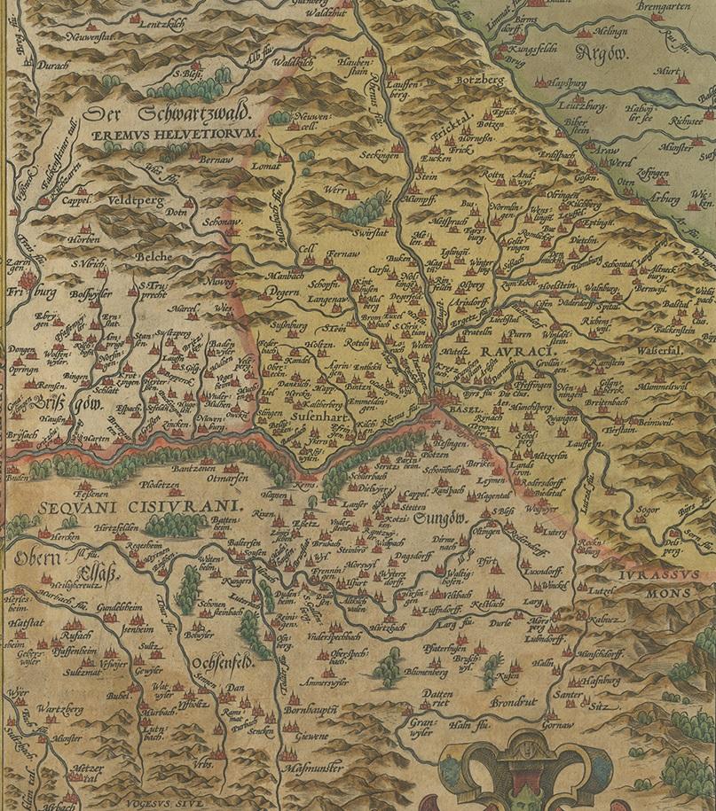
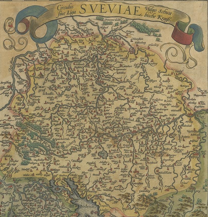
Map of the Region of Basel and Northern Switzerland by Ortelius, circa 1603

€ 550

One of a kind: this is the sheet in the photographs. Ships from Langweer, the Netherlands.

Date
1603
Sheet size
45 × 56 cm (17.7 × 22.0 in)
Condition
Good
Reference
BG-12887

Condition

Original/contemporary hand coloring. Latin text on verso. Shows some wear and small tears (mainly in margins. General age-related toning. Please study images carefully.
About this sheet

Two original antique maps on one sheet titled 'Basiliensis Territorii Descriptio Nova [with] Circulus sive Liga Sueviae'. The first centers on Basel, Switzerland, located on the Rhine River, and is based on Munster's map of 1538. The second map is based on Seltzin's map of 1572 and shows the region of northern Switzerland and southern Germany along the Rhine River and west to the Black Forest. Both are decorated with elaborate cartouches. Published by A. Ortelius, circa 1603.

More from Central Europe

Ask about this sheet

Map of the Region of Basel and Northern Switzerland by Ortelius, circa 1603
1603 · Ref. BG-12887 · € 550
We reply by email, usually within one working day.