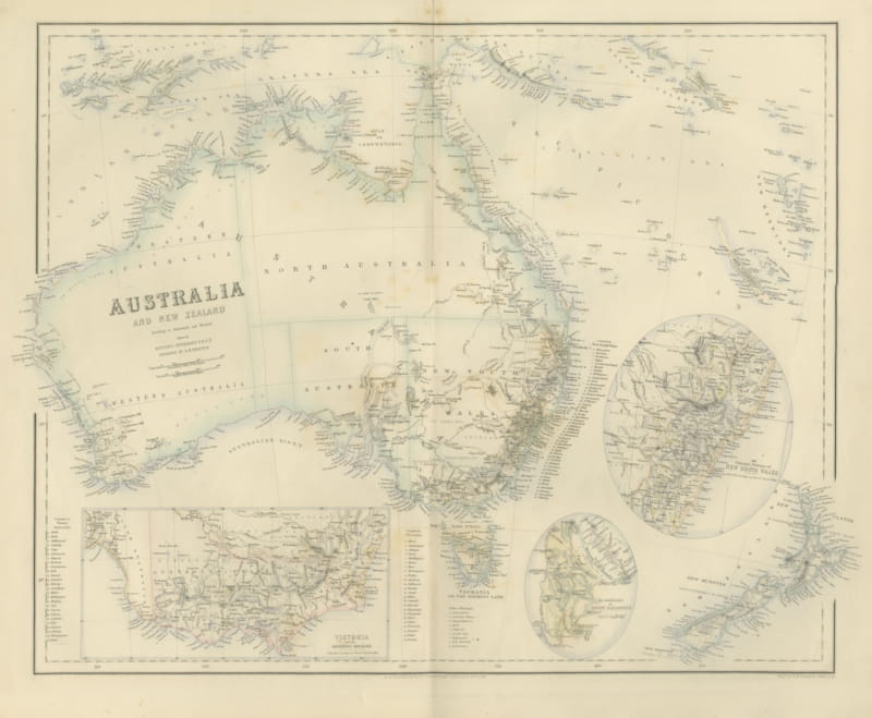
Johnson’s Australia Map, USA Published c.1864 – Decorative Hand-Colored Map
€ 330
Original antique · The actual sheet photographed · Certificate of authenticity on request · Sold unframed · Worldwide shipping from € 15 (rates)
Date
1864
Sheet size
35.7 × 45.7 cm (14.1 × 18.0 in)
Condition
Good
Reference
BG-13952-26
What the condition grades mean
Excellent
Bright and clean, with no faults worth mentioning.
Very good
Only light signs of age, such as faint toning.
Good
Normal signs of age for a sheet of this period: toning, some foxing, small marks or neat old repairs.
Fair
Clear faults such as staining, tears or repairs, priced to match.
Every fault we see is written in the condition note, and the whole sheet is shown uncropped in the photos.
Condition
Good condition. Strong impression with bright original hand coloring. Light general age toning and a few small spots or handling marks in the margins, typical for antique atlas maps. Some tears in the borders. Wide margins and plate mark intact.
About this sheet
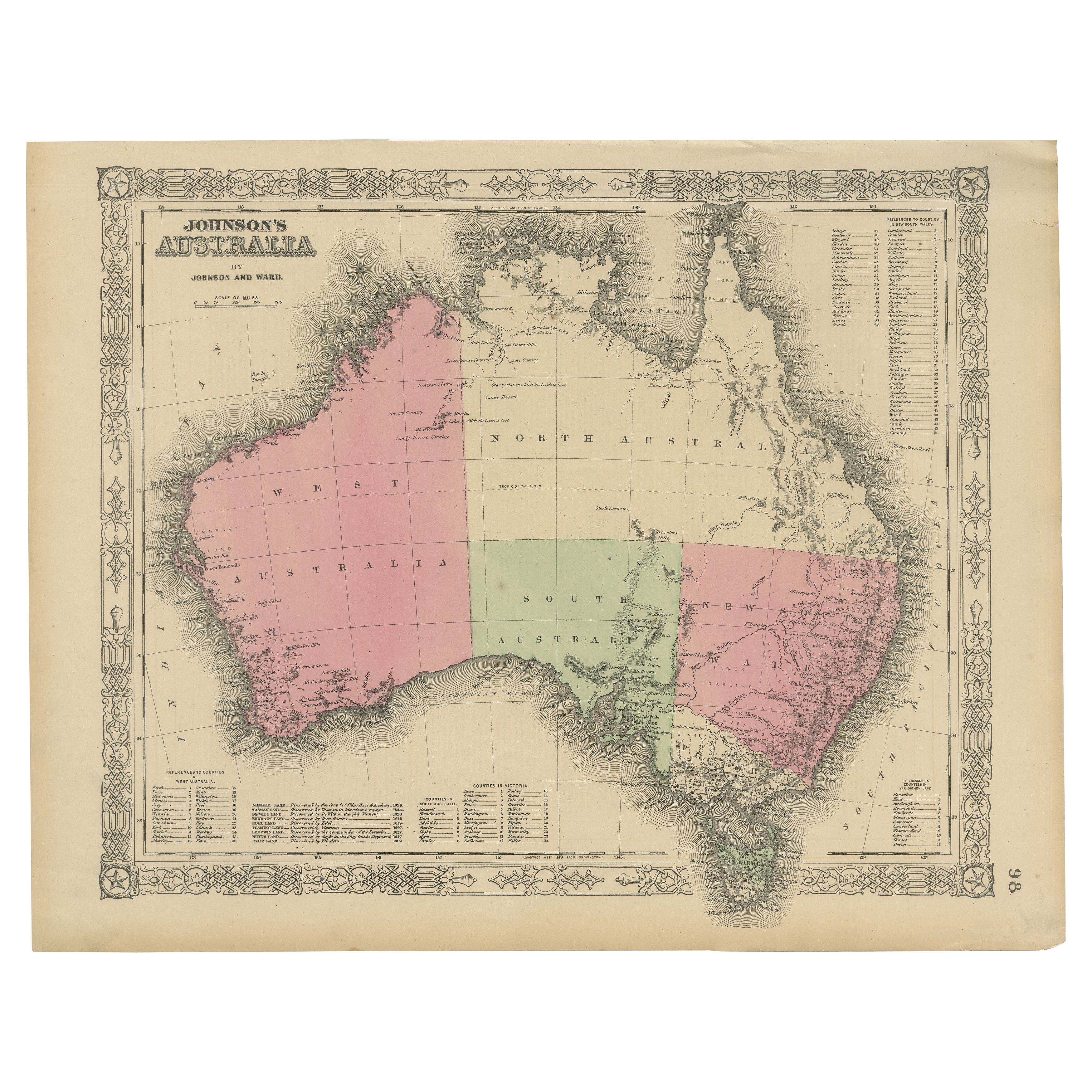
Johnson’s Australia Map, USA Published c.1864 – Decorative Hand-Colored Map
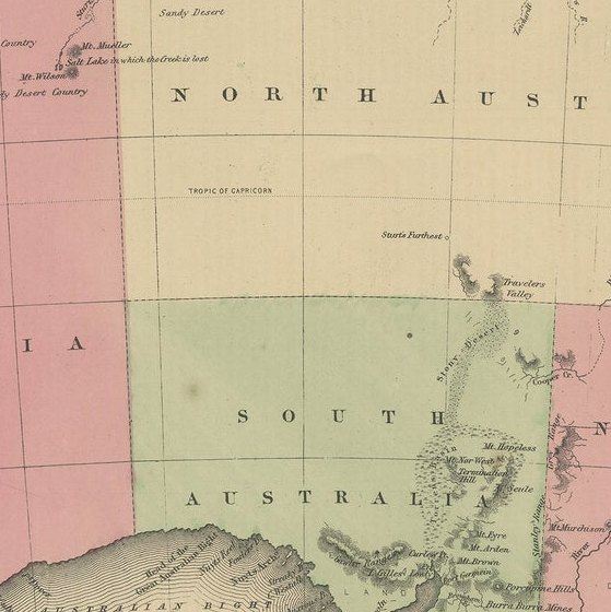
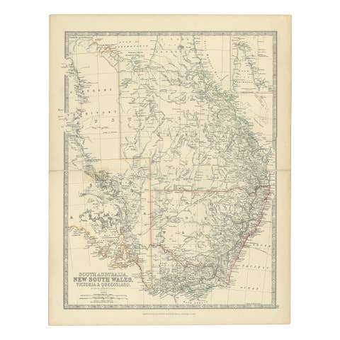
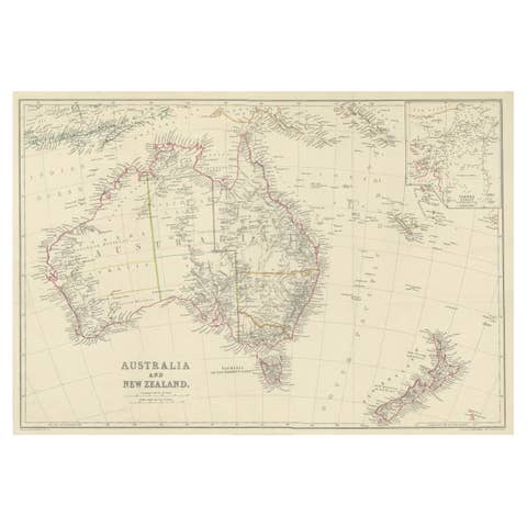
This is a finely engraved and hand-colored map titled Johnson’s Australia published by Johnson and Ward in New York, circa 1864. It shows the political divisions of Australia as understood in mid-19th century American cartography, including West Australia, North Australia, South Australia, New South Wales, Victoria, and Tasmania.
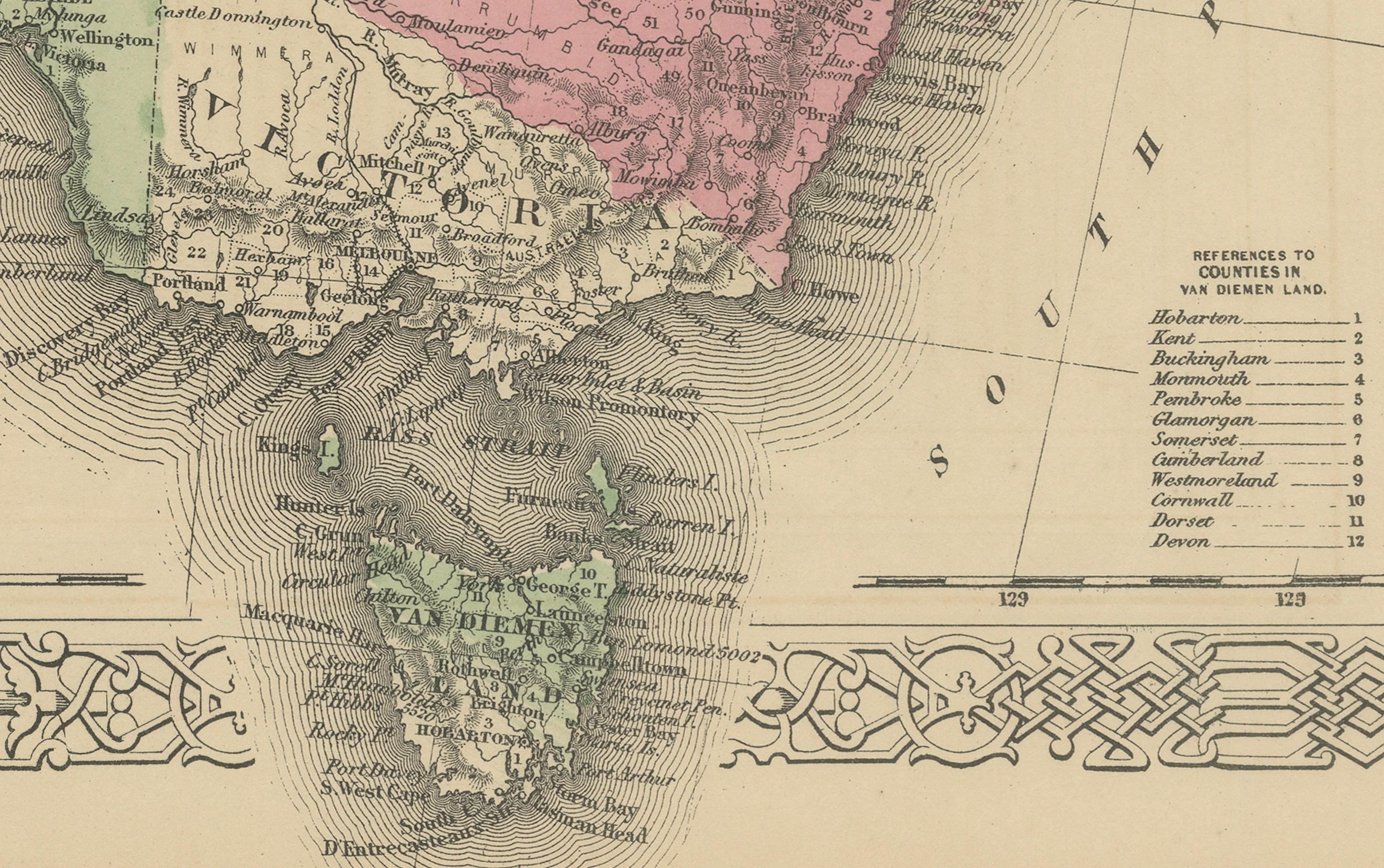
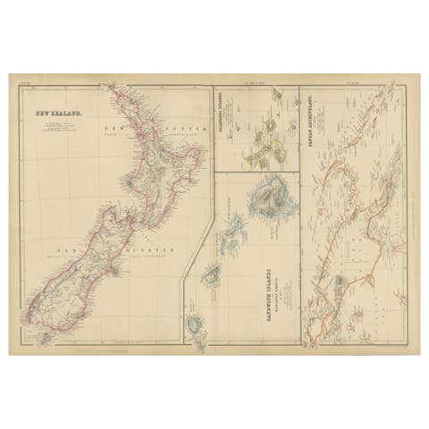
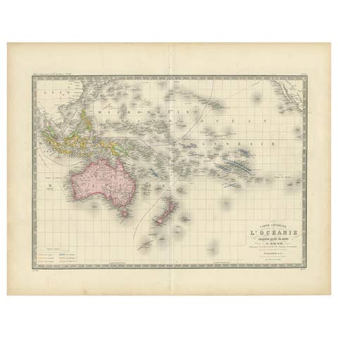
The map is notable for its decorative border, typical of Johnson atlases, with interlaced geometric and floral motifs framing the image. The colonies are shaded in pastel pink, green, and tan colors. Cities, settlements, rivers, mountain ranges, and coastal features are clearly marked, including Perth, Adelaide, Melbourne, Sydney, Brisbane, and Hobart Town. Offshore islands such as Tasmania and surrounding smaller islands are also shown. There is an extensive list of counties and references in the lower and right margins.
Johnson and Ward were leading American publishers of maps and atlases in the mid-19th century. Their works combined clear geographic information with decorative appeal. Maps of Australia by Johnson are valued for documenting the colonial divisions before Australian federation in 1901.
Condition report:
Good condition. Strong impression with bright original hand coloring. Light general age toning and a few small spots or handling marks in the margins, typical for antique atlas maps. Some tears in the borders. Wide margins and plate mark intact.
Framing suggestion:
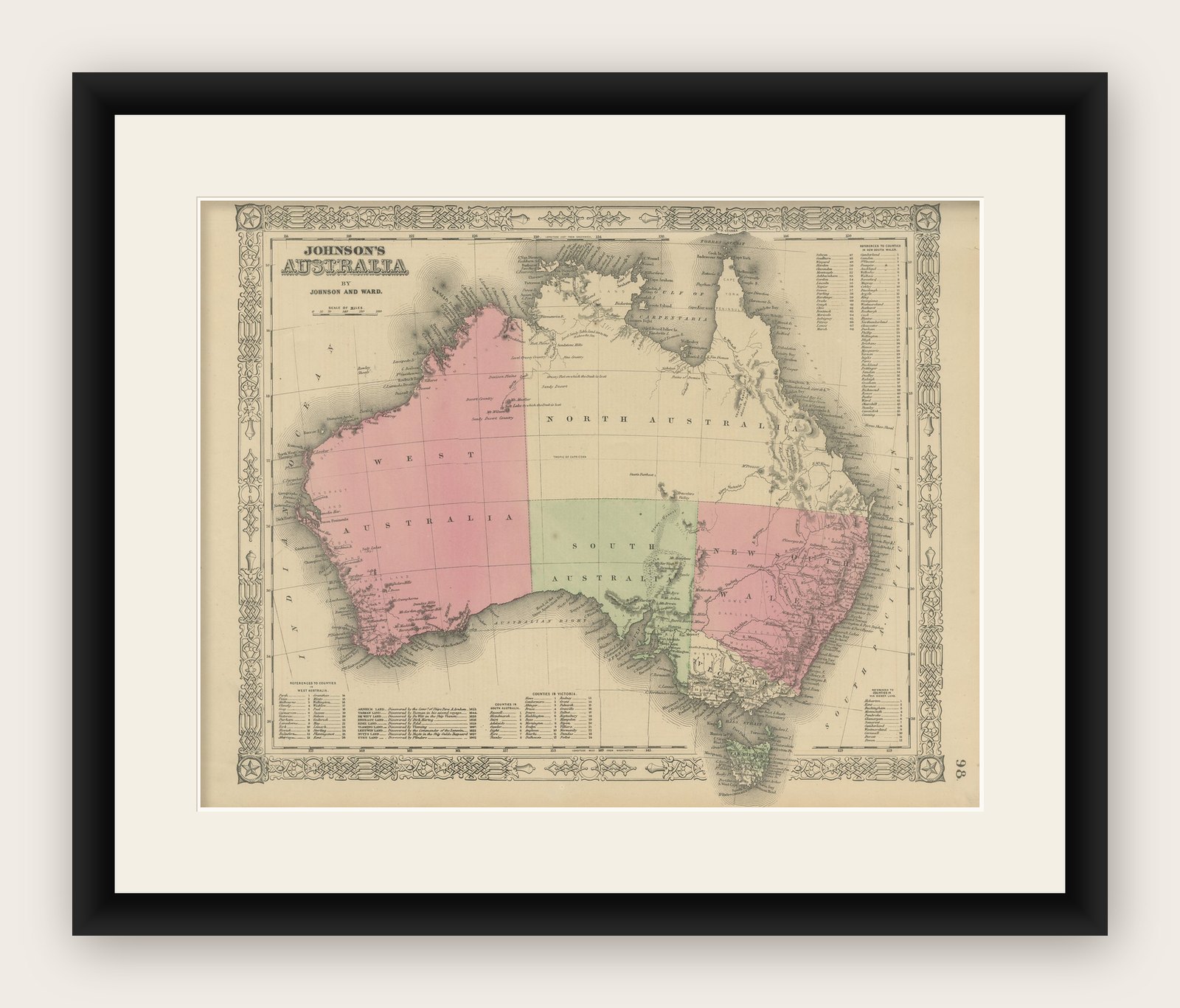
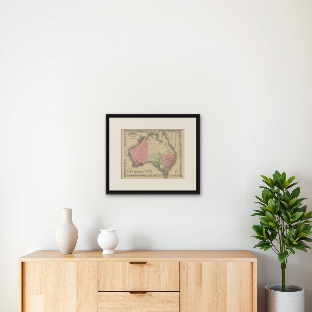
Frame with a simple dark wood or black frame and an archival off-white mat to highlight the pastel coloring and decorative border. UV-protective glass is recommended to preserve the paper quality and prevent fading.