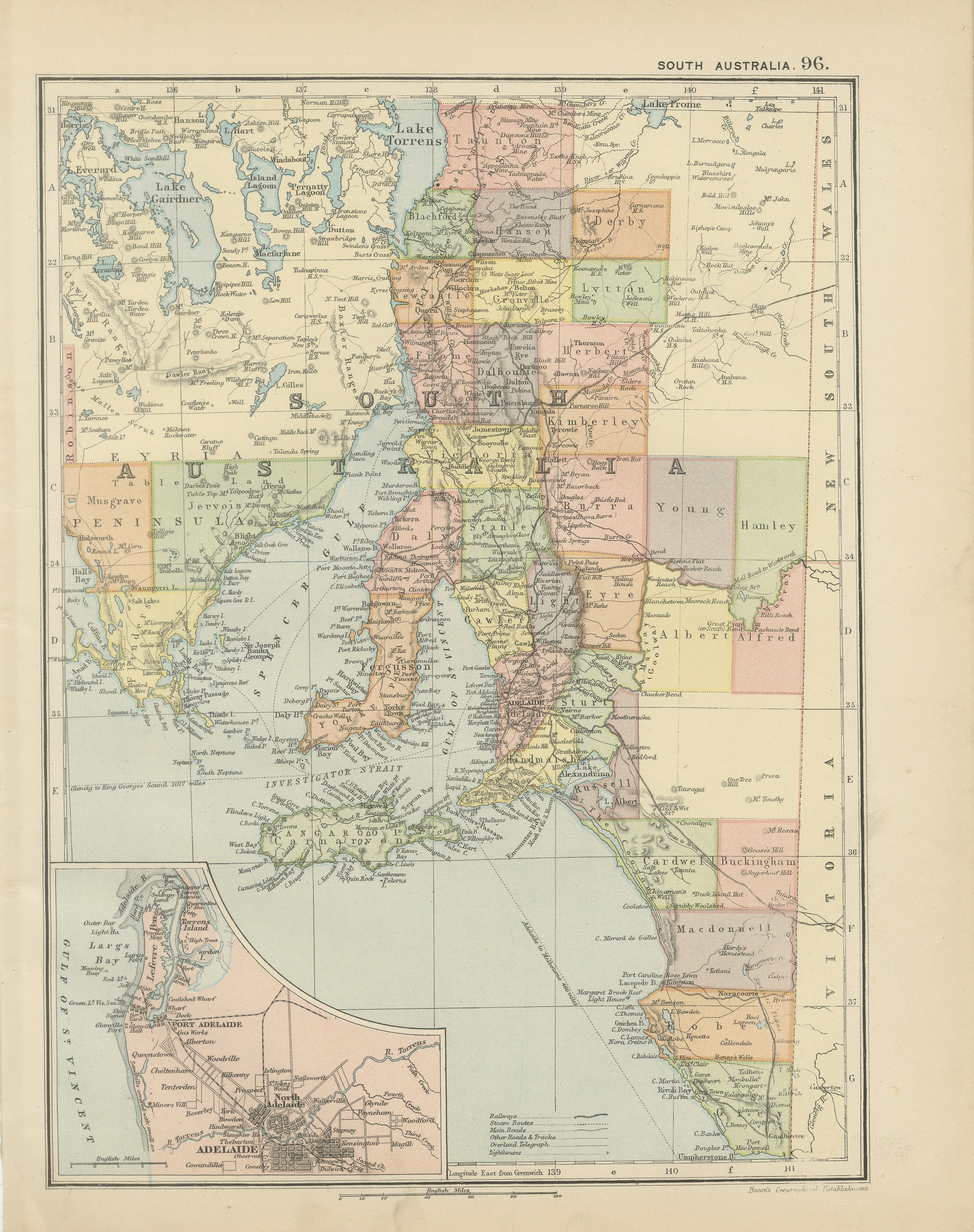
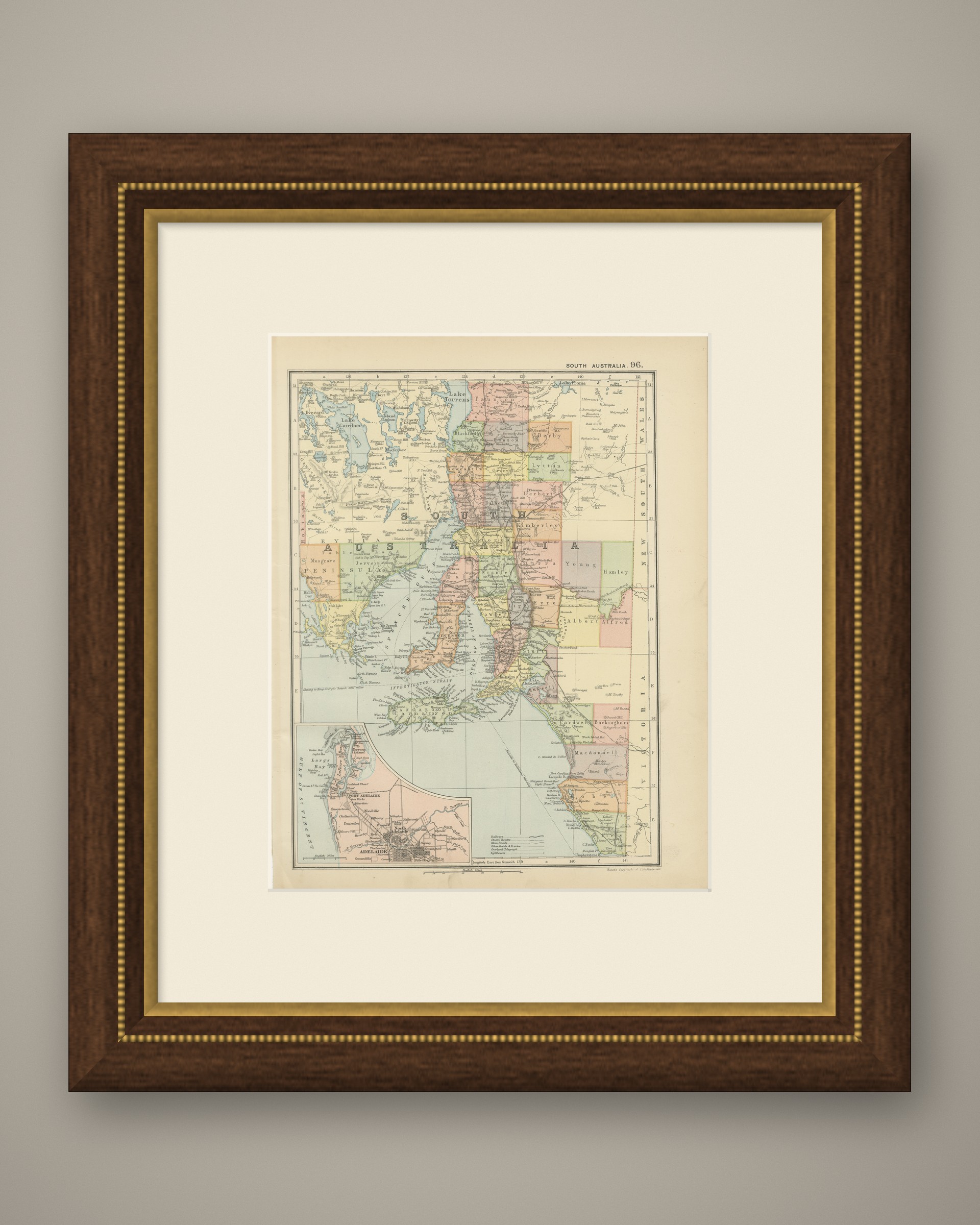
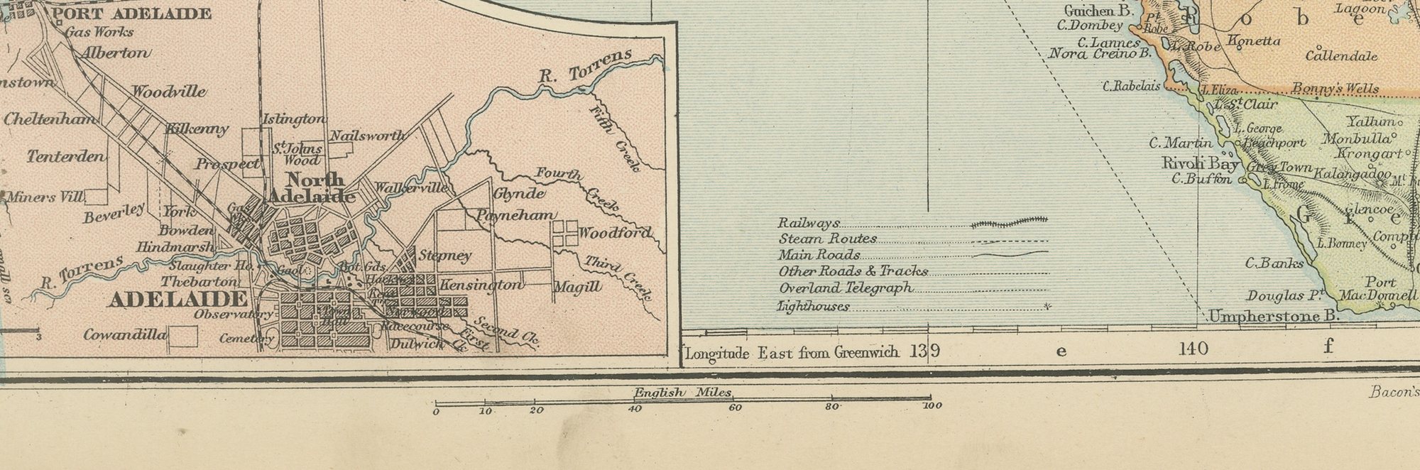
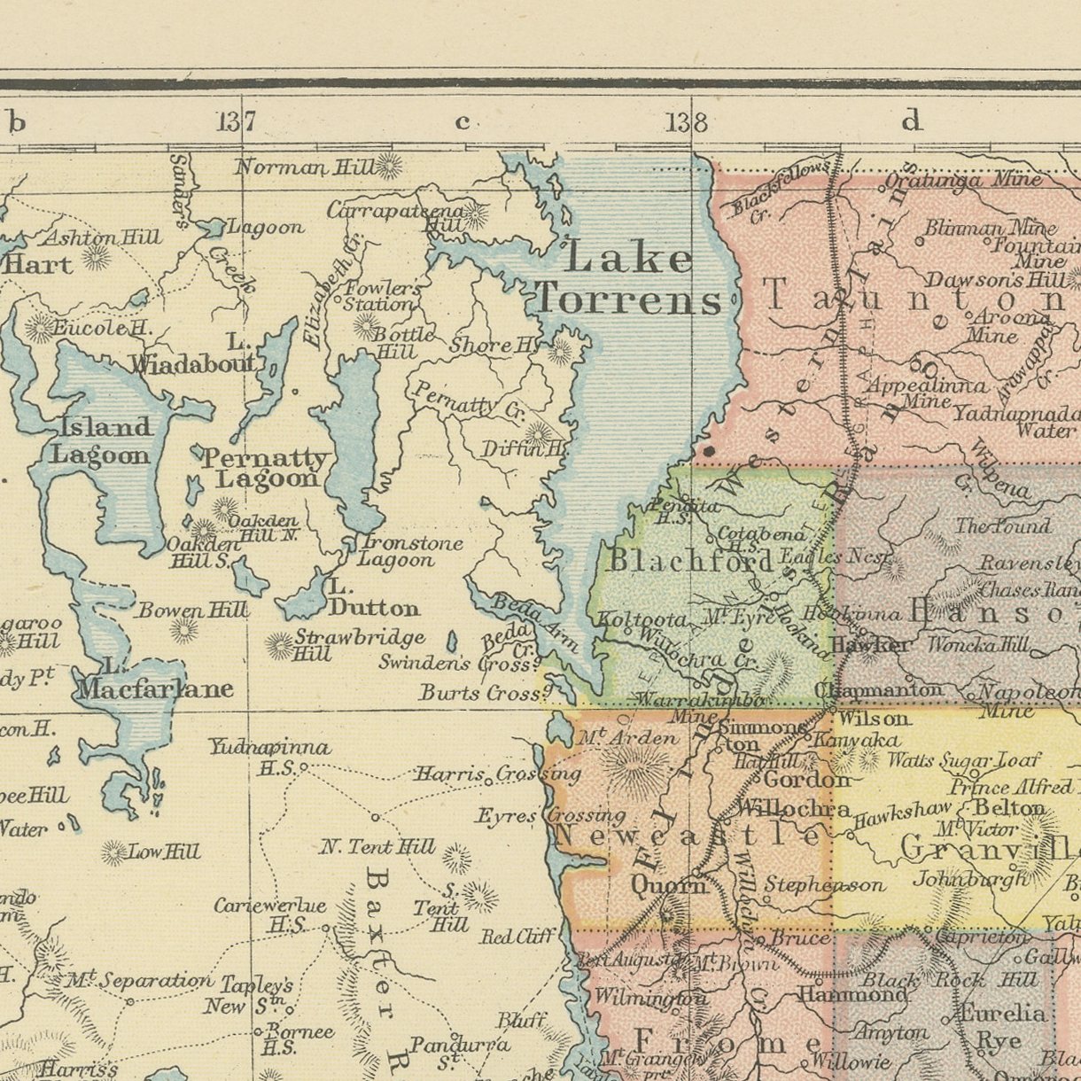
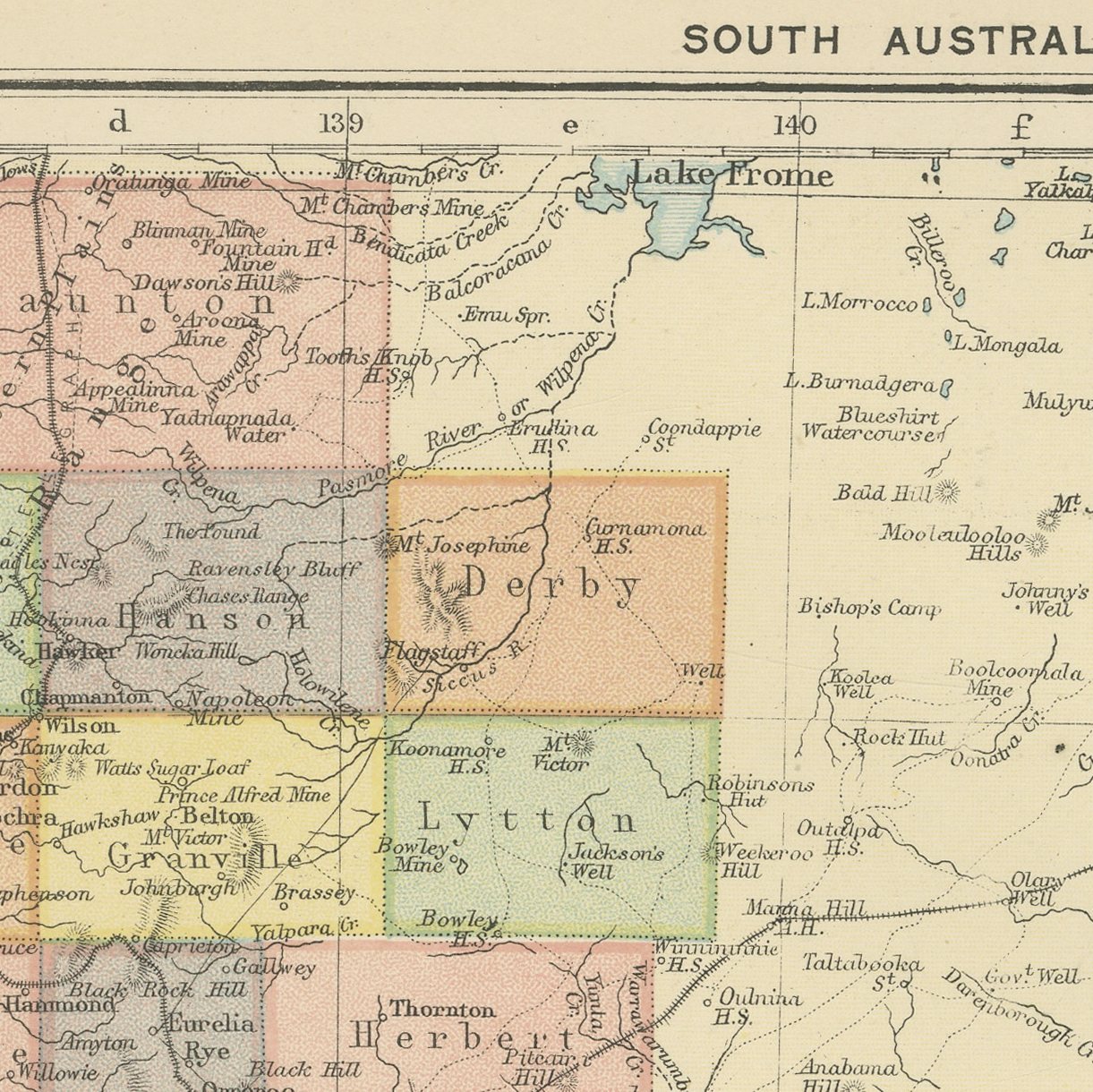
Antique Map of South Australia, Adelaide and Lake Eyre, Bacon, 1898
€ 225
Original antique · The actual sheet photographed · Certificate of authenticity on request · Sold unframed · Worldwide shipping from € 15 (rates)
Date
1898
Mapmaker / artist
George Washington Bacon
Publisher
G. W. Bacon and Company, Limited, 127 Strand, London
Technique
Lithograph
Coloring
Printed color
Sheet size
34 × 27 cm (13.4 × 10.6 in)
Condition
Good
Reference
BG-06675-96
What the condition grades mean
Excellent
Bright and clean, with no faults worth mentioning.
Very good
Only light signs of age, such as faint toning.
Good
Normal signs of age for a sheet of this period: toning, some foxing, small marks or neat old repairs.
Fair
Clear faults such as staining, tears or repairs, priced to match.
Every fault we see is written in the condition note, and the whole sheet is shown uncropped in the photos.
Condition
Moderate overall age toning. The printed image itself is clean.
About this sheet
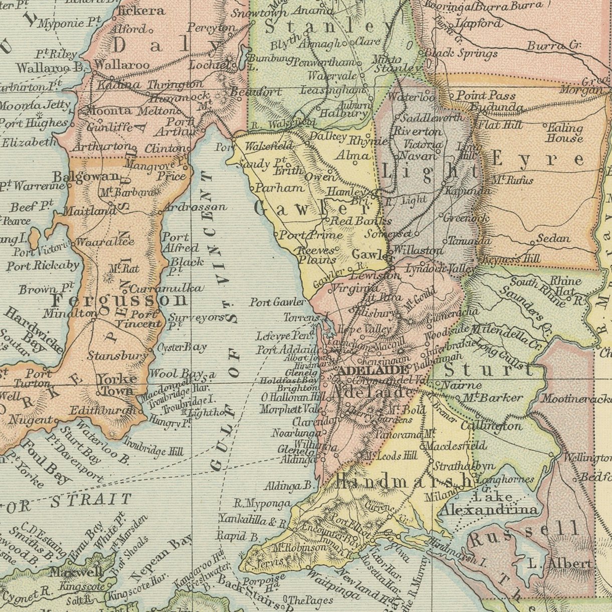
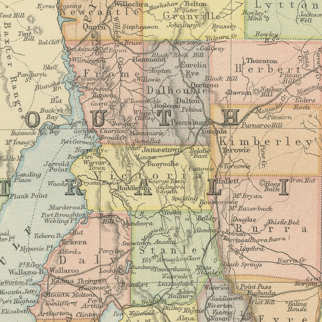
A color printed antique map of South Australia, published in London by G. W. Bacon in 1898 for his Commercial and Library Atlas of the World. The colony is drawn from the Great Australian Bight to the New South Wales border, with the hundreds and counties of the settled south colored one by one, Spencer Gulf and the Gulf of Saint Vincent cutting up from the sea, Lake Torrens and Lake Eyre drawn across the arid north, and Kangaroo Island and the Eyre Peninsula named in full. An inset plans Adelaide with Port Adelaide.
The plate belongs to the 1898 edition of Bacon's Commercial and Library Atlas of the World with Index-Gazetteer, edited by G. W. Bacon of 127 Strand, London. Printed and colored at Bacon's Geographical Establishment, the atlas set out one hundred double page maps and one hundred inset maps, and its purpose was practical: it recorded the political world as the Victorians left it, a year after the Diamond Jubilee and a year before the South African War.
South Australia was the colony founded without convicts, surveyed in advance and settled on a plan, and its map looks like it: the hundreds are laid out in regular blocks and the wheat country is divided by rule rather than by accident. The Adelaide inset shows Colonel Light's grid with its ring of parklands exactly as drawn in 1837. For anyone with family in the Barossa or on the peninsulas, the small place names here are the point.
Moderate overall age toning. The printed image itself is clean.
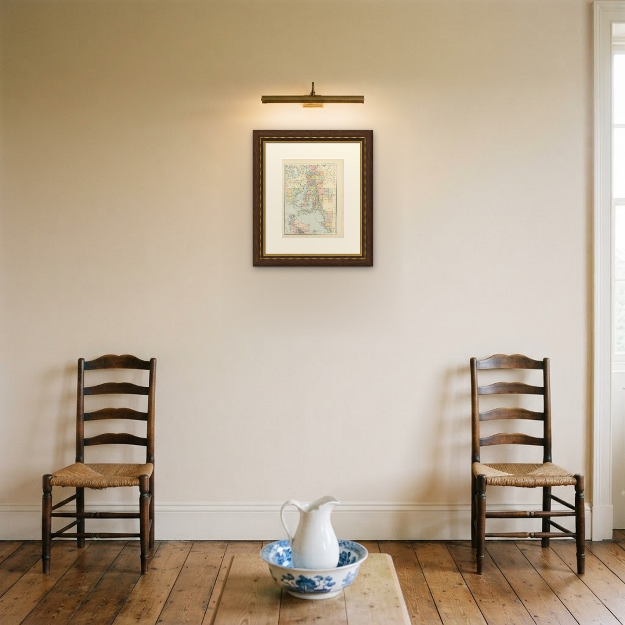
A map like this rewards close looking, so hang it where people pass near it: a hall, a landing, a study or a meeting room. The printed color is soft and the lettering fine, and it sits comfortably beside both antique and modern furniture. This is an original antique map, not a modern reproduction. This item is sold unframed. Any framed or interior images are shown for presentation and inspiration only, unless the listing explicitly states that the item is sold framed.