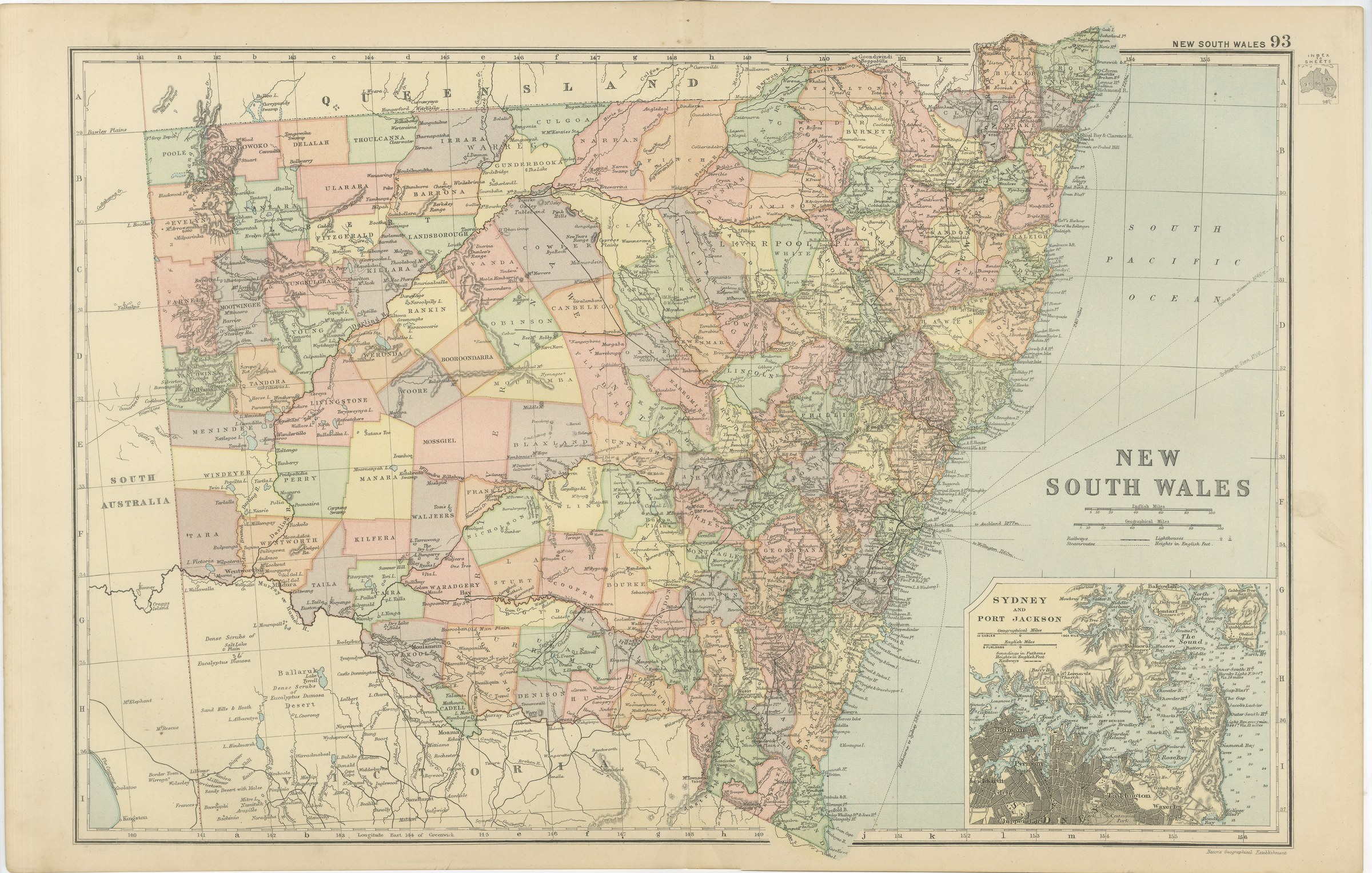
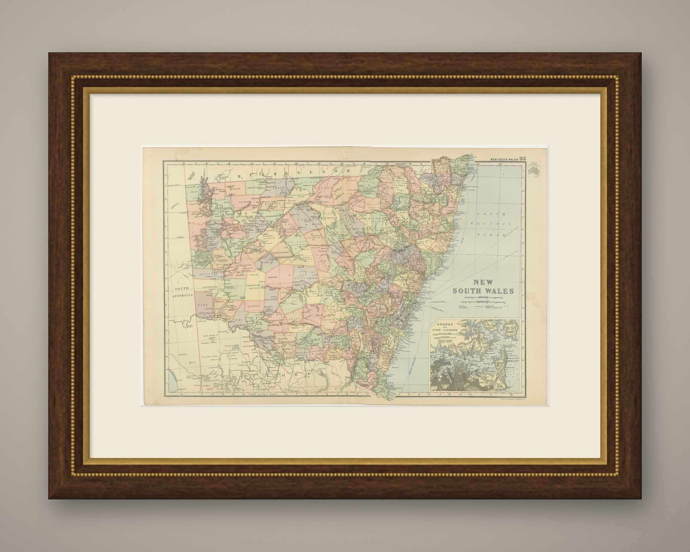
Antique Map of New South Wales, Sydney and Port Jackson, 1898
€ 280
Original antique · The actual sheet photographed · Certificate of authenticity on request · Sold unframed · Worldwide shipping from € 15 (rates)
Date
1898
Mapmaker / artist
George Washington Bacon
Publisher
G. W. Bacon and Company, Limited, 127 Strand, London
Technique
Lithograph
Coloring
Printed color
Sheet size
34 × 54 cm (13.4 × 21.3 in)
Condition
Good
Reference
BG-06675-93
What the condition grades mean
Excellent
Bright and clean, with no faults worth mentioning.
Very good
Only light signs of age, such as faint toning.
Good
Normal signs of age for a sheet of this period: toning, some foxing, small marks or neat old repairs.
Fair
Clear faults such as staining, tears or repairs, priced to match.
Every fault we see is written in the condition note, and the whole sheet is shown uncropped in the photos.
Condition
Moderate overall age toning, with the paper darker along the top edge, a few handling marks in the margins and light handling wear at the top right and bottom left corners. The printed image itself is clean.
About this sheet
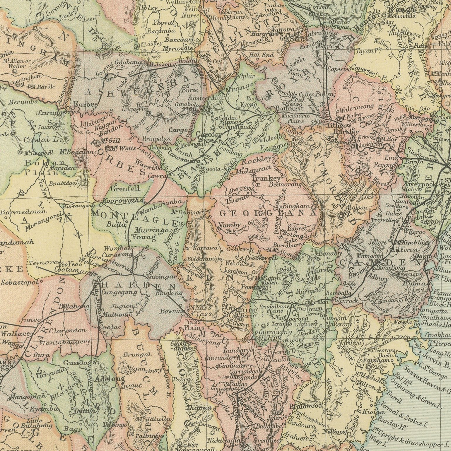
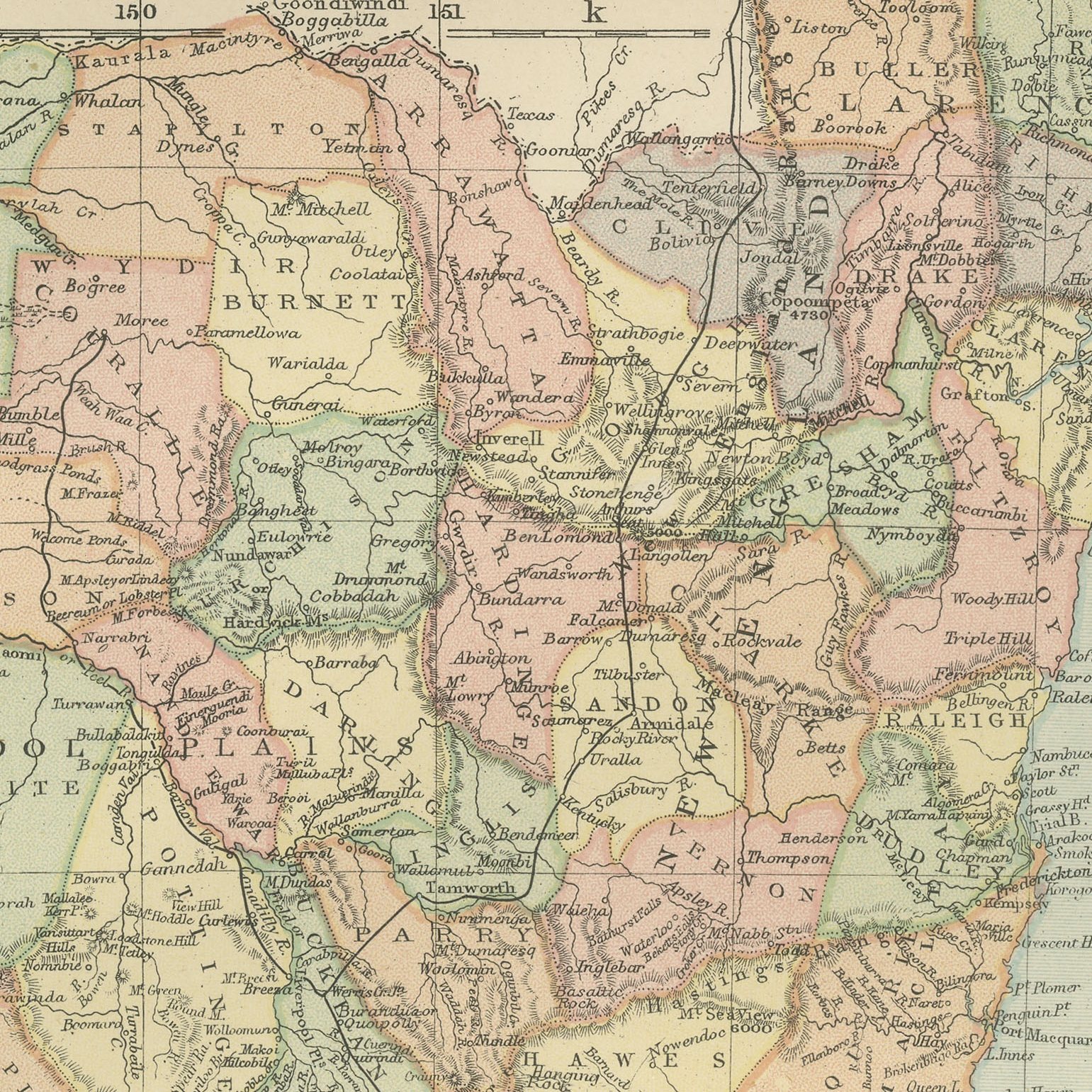
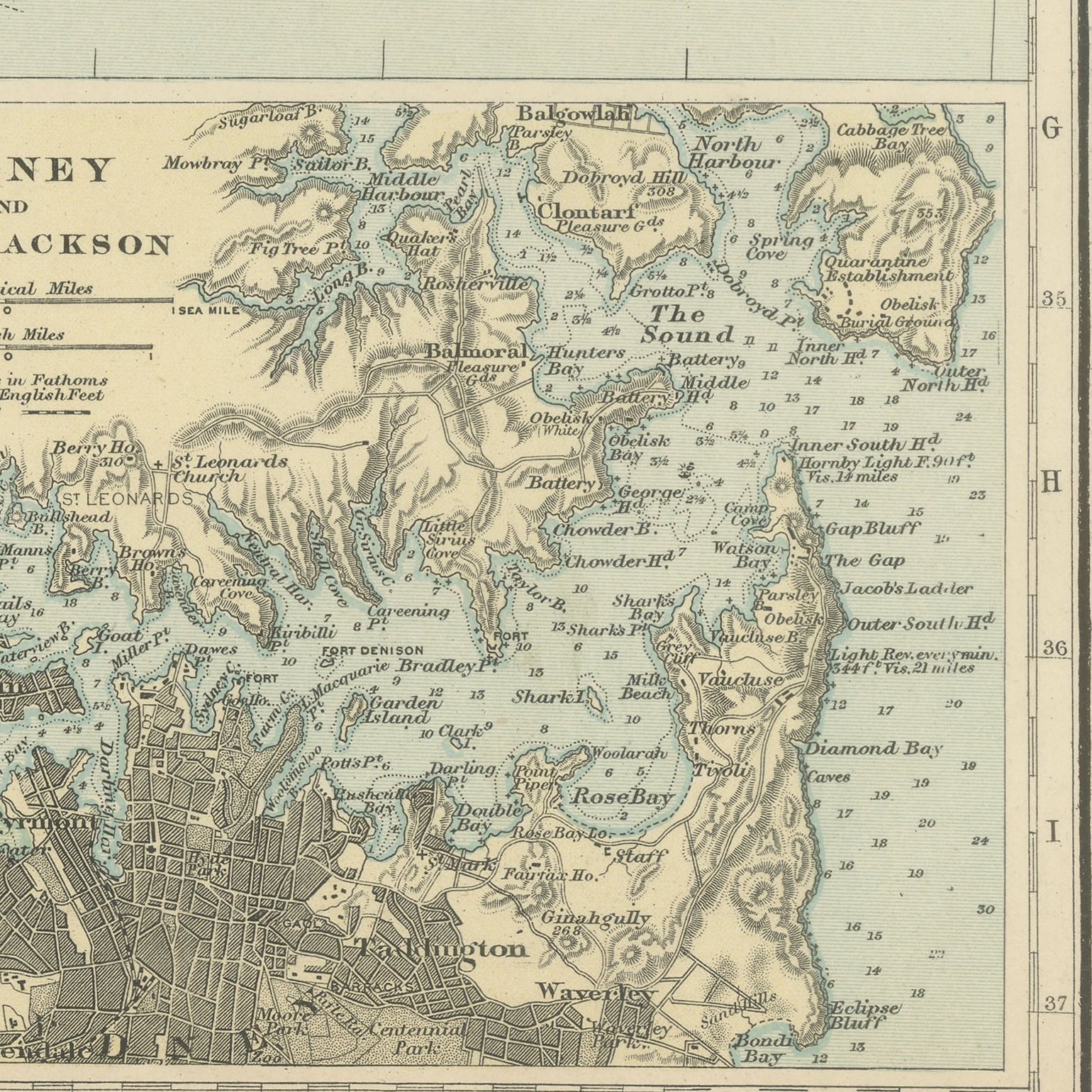
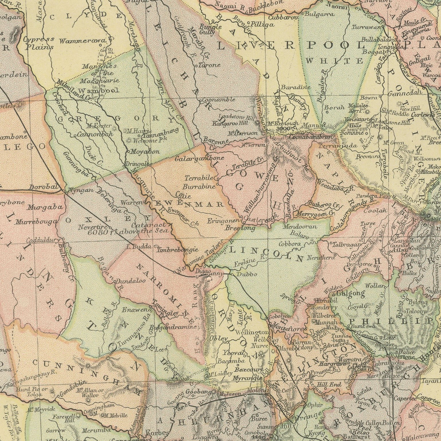
An original antique map of New South Wales, color printed in 1898 for Bacon's Commercial and Library Atlas of the World. The colony fills the double page from the Queensland border to the Murray, with every county separately colored and named, the Great Dividing Range shaded along the coast, the western plains and the Darling country drawn out to the South Australian boundary, and the railway lines marked from Sydney through Bathurst and Albury. An inset gives Sydney with Port Jackson and Botany Bay.
The sheet comes from the Commercial and Library Atlas of the World with Index-Gazetteer, edited by George Washington Bacon, Fellow of the Royal Geographical Society, and published in London by G. W. Bacon and Company, Limited, of 127 Strand, in 1898. The atlas gathered one hundred double page maps and one hundred inset maps with an alphabetical index of fifty thousand places and a gazetteer of two thousand towns, and it was sold to merchants, shipping houses and subscription libraries that needed the world kept current rather than kept beautiful.
The county map of New South Wales is the sheet Australian family historians use, because land titles and parish records follow the counties drawn here, and Bacon names them all. Canberra does not exist on this map; the site is empty country in the Yass district, nine years before it was chosen. The Sydney inset shows the harbor with its forts and ferries thirty four years before the bridge.
Moderate overall age toning, with the paper darker along the top edge, a few handling marks in the margins and light handling wear at the top right and bottom left corners. The printed image itself is clean.
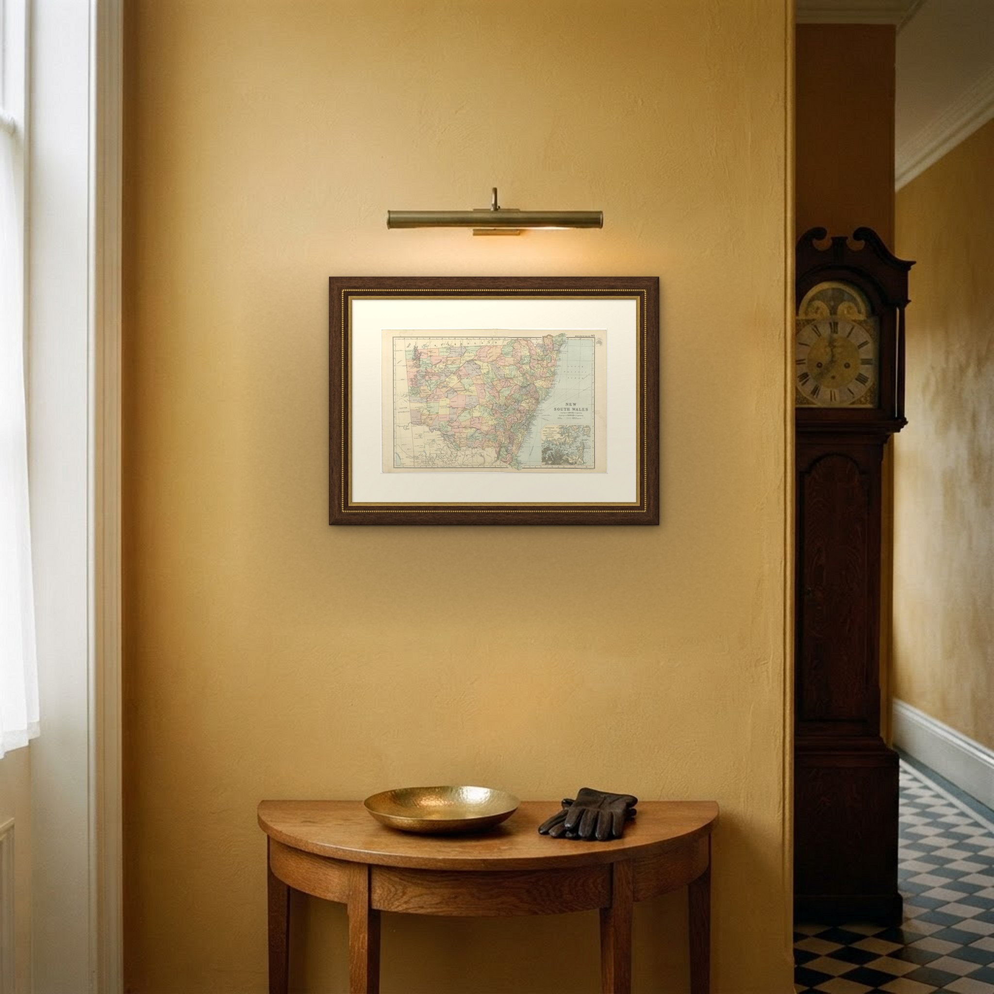
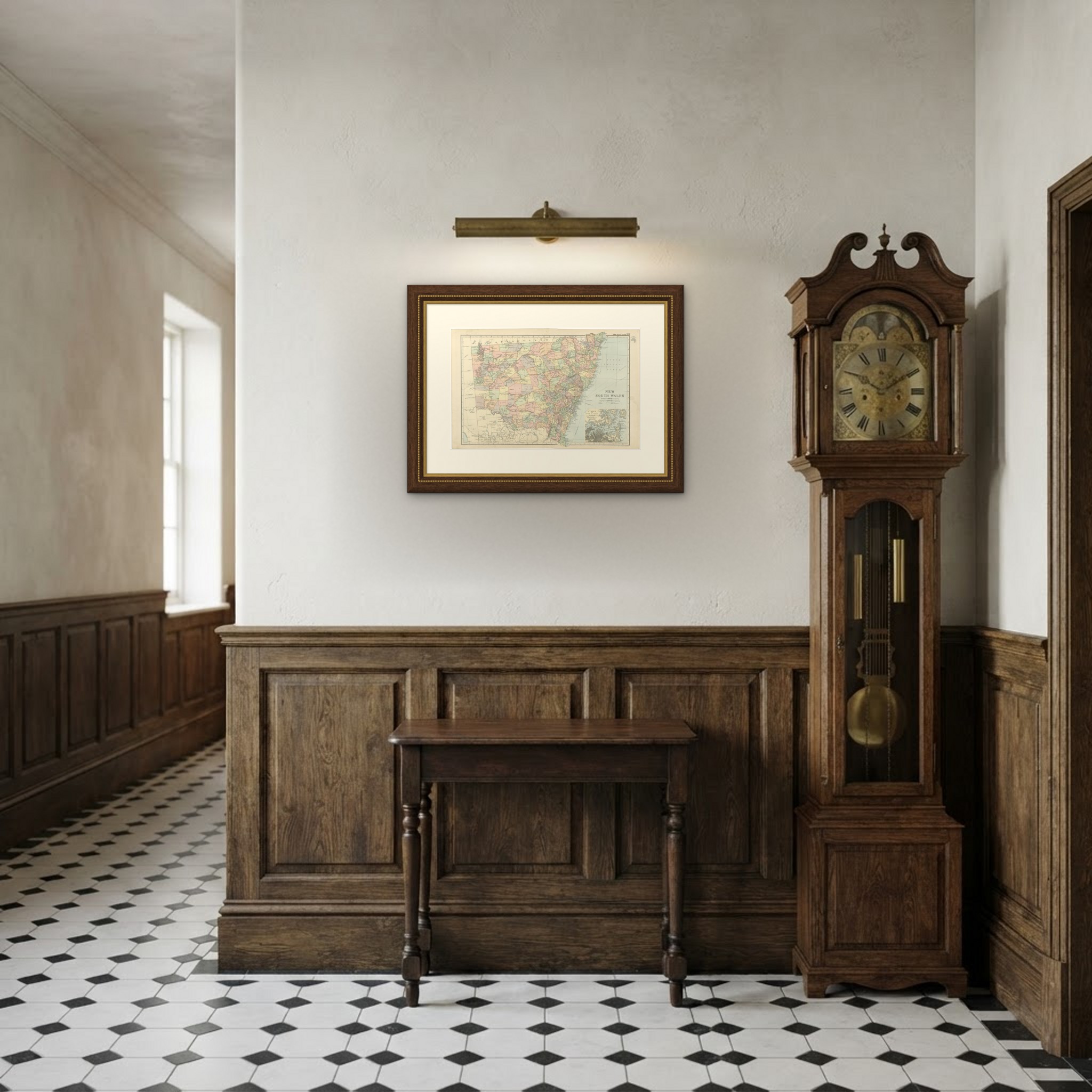
Framed simply, a sheet of this size holds a wall on its own, and the clear color printing reads well across a room. It suits a study, a library, an office or a hallway, and it is an easy gift for anyone with a connection to the place it shows. This is an original antique map, not a modern reproduction. This item is sold unframed. Any framed or interior images are shown for presentation and inspiration only, unless the listing explicitly states that the item is sold framed.