
Maps & PrintsBartele Gallery · Langweer
Home / Antique Maps / Africa

Africa · 18th century

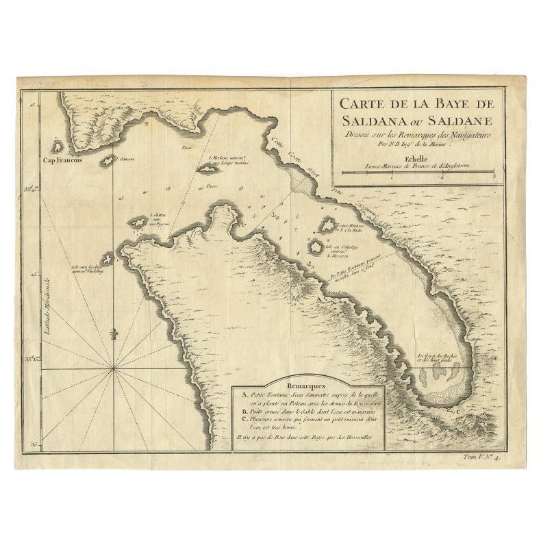
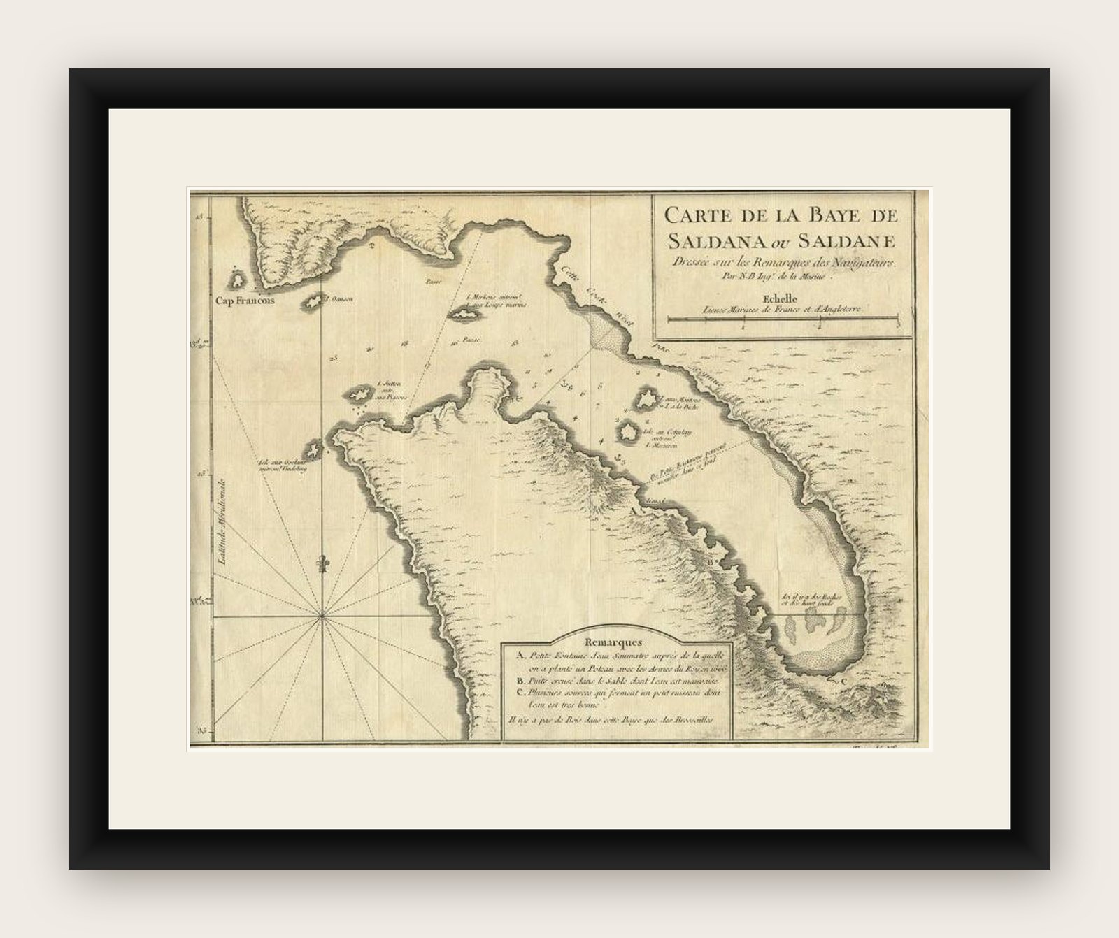
Antique Map of Saldanha Bay 'Near Cape Town, South Africa' by Bellin, 1750

€ 260

Original antique · The actual sheet photographed · Certificate of authenticity on request · Sold unframed · Worldwide shipping from € 15 (rates)

Date
1750
Mapmaker / artist
Jacques-Nicolas Bellin (Artist)
Sheet size
22.5 × 29 cm (8.9 × 11.4 in)
Condition
Good
Reference
BL-00024
What the condition grades mean
Excellent
Bright and clean, with no faults worth mentioning.
Very good
Only light signs of age, such as faint toning.
Good
Normal signs of age for a sheet of this period: toning, some foxing, small marks or neat old repairs.
Fair
Clear faults such as staining, tears or repairs, priced to match.

Every fault we see is written in the condition note, and the whole sheet is shown uncropped in the photos.
About this sheet

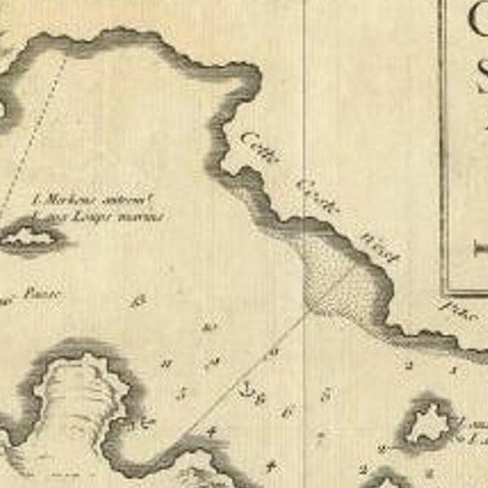
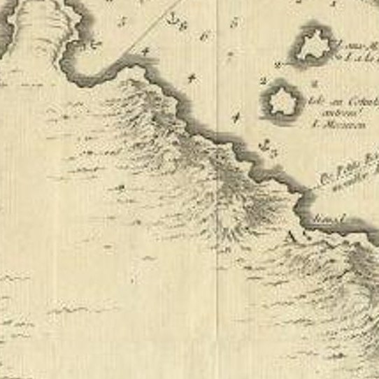
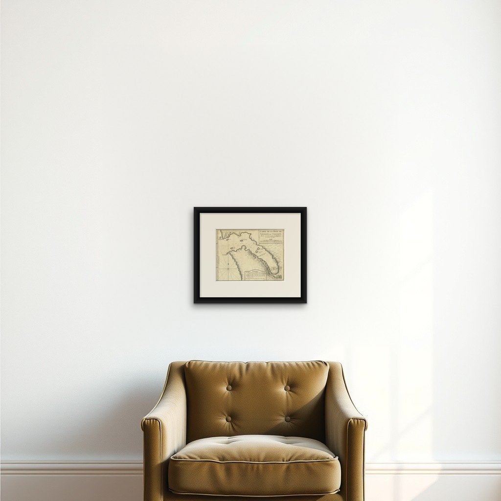
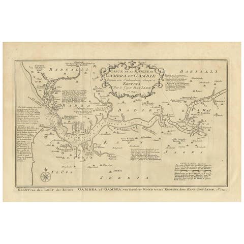
Antique map titled ‘Carte De La Baye De Saldana ou Saldane Dressee sur les Remarques des Navigateurs’. Detailed plan of Saldanha Bay, northwest of Cape Town, South Africa. This map originates from 'Histoire générale des Voyages (.)' published 1750.

Artists and Engravers: Jacques-Nicolas Bellin (1703 - 1772) was one of the most important cartographers of the 18th century. With a career spanning some 50 years, Bellin is best understood as geographe de cabinet and transitional mapmaker spanning the gap between 18th and early 19th century cartographic styles. His long career as Hydrographer and Ingénieur Hydrographe at the French Dépôt des cartes et plans de la Marine resulted in hundreds of high quality nautical charts of practically everywhere in the world. A true child of the Enlightenment Era, Bellin's work focuses on function and accuracy tending in the process to be less decorative than the earlier 17th and 18th century cartographic work. Unlike many of his contemporaries, Bellin was always careful to cite his references and his scholarly corpus consists of over 1400 articles on geography prepared for Diderot's Encyclopedie. Bellin, despite his extraordinary success, may not have enjoyed his work, which is described as "long, unpleasant, and hard." In addition to numerous maps and charts published during his lifetime, many of Bellin's maps were updated (or not) and published posthumously. He was succeeded as Ingénieur Hydrographe by his student, also a prolific and influential cartographer, Rigobert Bonne.

Image size: 27.6 x 21.4 cm

More from Africa

Ask about this sheet

Antique Map of Saldanha Bay 'Near Cape Town, South Africa' by Bellin, 1750
1750 · Ref. BL-00024 · € 260
We reply by email, usually within one working day.

Your favorites

Saved in this browser. Email the list to yourself to keep it on any device.

We use your email to send this list and, only if you tick the box and confirm, for occasional new arrivals. Every email has an unsubscribe link. Bartele Gallery, the Netherlands.