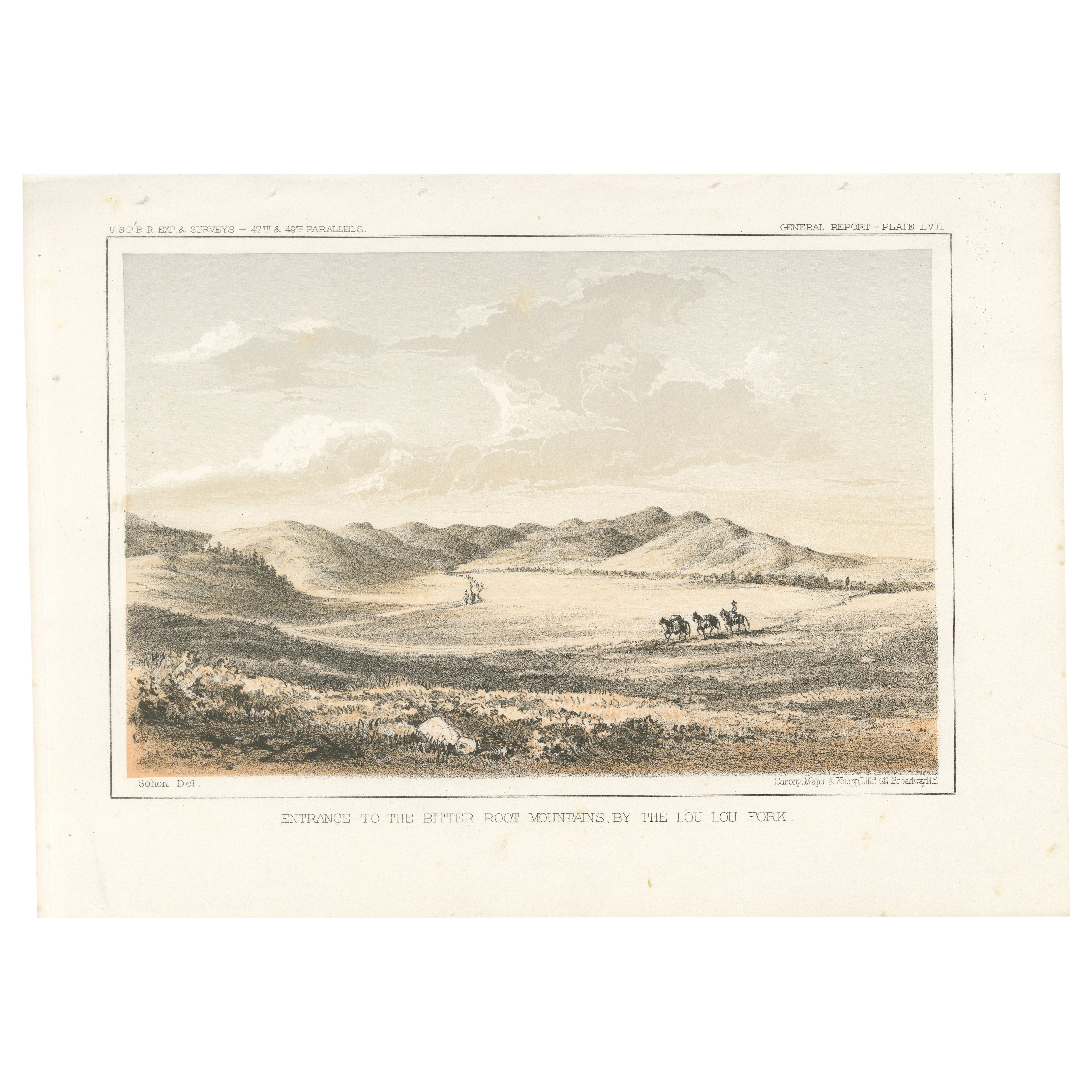
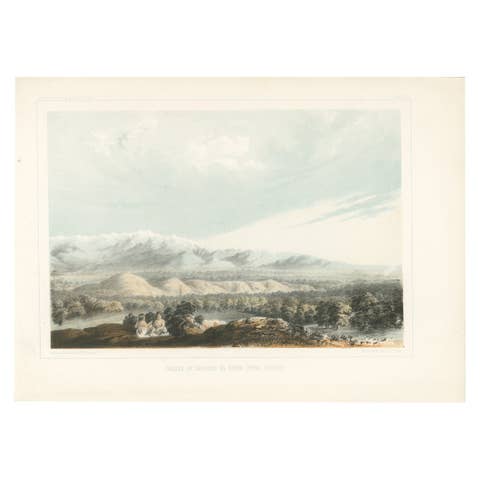
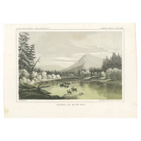
Entrance to the Bitter Root Mountains by the Lou Lou Fork - Lithograph, 1856
€ 220
Original antique · The actual sheet photographed · Certificate of authenticity on request · Sold unframed · Worldwide shipping from € 15 (rates)
Date
1856
Sheet size
20.7 × 28.3 cm (8.1 × 11.1 in)
Reference
BG-14038-25
What the condition grades mean
Excellent
Bright and clean, with no faults worth mentioning.
Very good
Only light signs of age, such as faint toning.
Good
Normal signs of age for a sheet of this period: toning, some foxing, small marks or neat old repairs.
Fair
Clear faults such as staining, tears or repairs, priced to match.
Every fault we see is written in the condition note, and the whole sheet is shown uncropped in the photos.
Condition
Very good, with minimal foxing at the margins. The image is crisp, and the colors remain vivid and well-preserved.
About this sheet
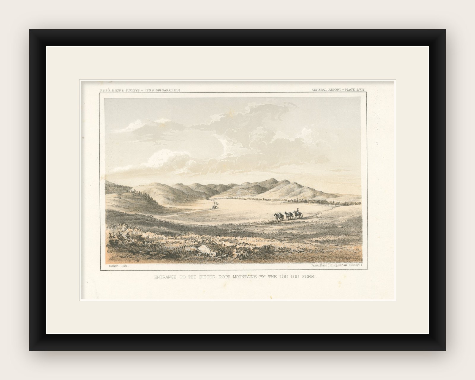
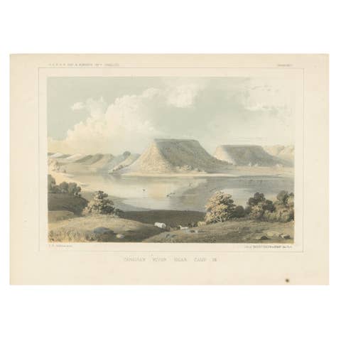
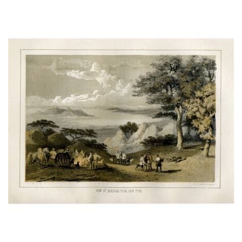
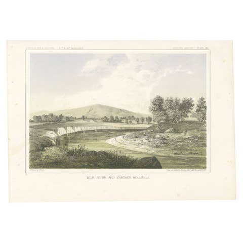
This captivating lithograph, "Entrance to the Bitter Root Mountains by the Lou Lou Fork," captures a serene yet expansive view of the approach to the Bitter Root Mountains. Published as General Report – Plate LVII in the Pacific Railroad Exploration Survey reports of 1856, the image illustrates the vast open plains leading toward the rolling foothills and rugged mountain peaks beyond.
The composition is dynamic, with groups of horse riders in the foreground making their way toward the distant mountains, emphasizing the sense of exploration and movement. The wide open sky, soft lighting, and detailed vegetation highlight the region’s natural beauty and its significance during the westward expansion.
Created by Sarony, Major & Knapp, this lithograph exemplifies mid-19th-century artistry, employing fine detail and tinted lithography to render the landscape with realism and depth. The warm tones and subtle shading bring life to the terrain, evoking the spirit of discovery that characterized this era.
The "Lou Lou Fork" referenced in the lithograph is now commonly known as Lolo Fork, a tributary of the Clearwater River in western Montana and northern Idaho. The area is closely associated with the historical Lolo Trail, an ancient Native American route later used by the Lewis and Clark Expedition in 1805 and 1806.
The Lolo Fork region lies within the Bitterroot Range of the Rocky Mountains, which forms the boundary between Montana and Idaho. It is part of the larger Bitterroot National Forest, an area known for its rugged terrain, dense forests, and historical significance as a key passage during westward expansion and exploration.
Framing Tip: Complement the warm tones of the lithograph with a cream or light beige matte. A classic wooden or metallic frame would enhance its timeless appeal, making it a perfect addition to a collection focused on historical exploration, Western Americana, or natural landscapes.