Black Friday starts Friday 20 November: up to 30% off, plus free FedEx shipping on qualifying orders →
Orders placed from 15 to 30 November ship from 1 December, in time for Christmas. Our shipping partner: InXpress.
Maps & PrintsBartele Gallery · Langweer
Home / Antique Maps / Europe / Western Europe / The Netherlands & Belgium / Province of Friesland

Antique Maps of Province of Friesland

53 original sheets
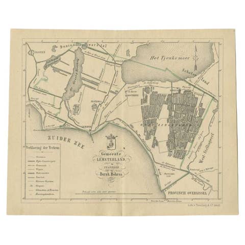
Antique Map of the Lemsterland Township by Behrns, 1861
1861 · € 89
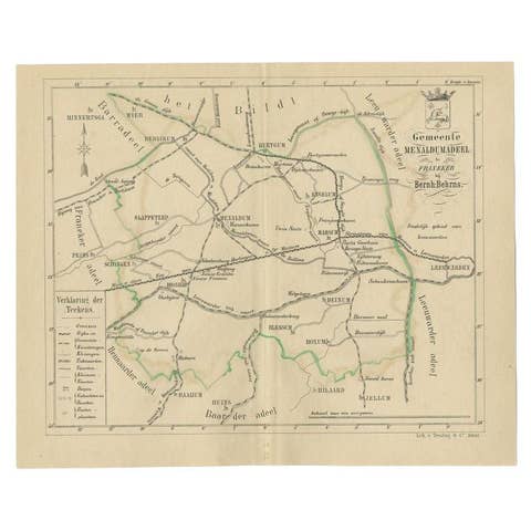
Antique Map of the Menaldumadeel Township by Behrns, 1861
1861 · € 89
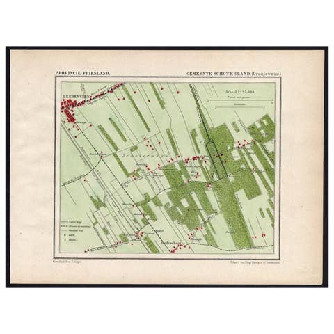
Antique Map of the Region of Oranjewoud by Kuyper, 1868
1868 · € 115
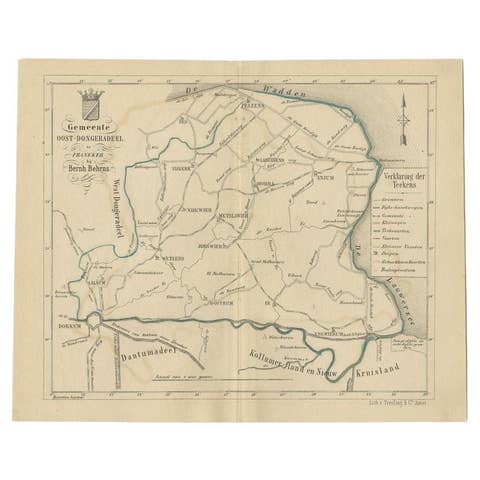
Antique Map of the Oost-Dongeradeel Township by Behrns, 1861
1861 · € 89
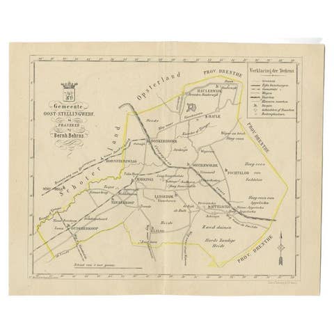
Antique Map of the Oost-Stellingwerf Township by Behrns, 1861
1861 · € 89

Your favorites

Saved in this browser. Email the list to yourself to keep it on any device.

We use your email to send this list and, only if you tick the box and confirm, for occasional new arrivals. Every email has an unsubscribe link. Bartele Gallery, the Netherlands.

Powered by SiteKeys