Maps & PrintsBartele Gallery · Langweer
Home / Antique Maps / Europe / Western Europe / The Netherlands & Belgium / Town Plans of Holland

Antique Town Plans of Holland

8 original sheets
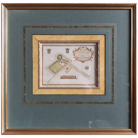
Antique Plan of the Residence of the Mayor of Amsterdam by H. de Leth circa 1732
1732 · € 480
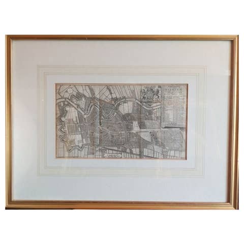
Antique Map of the City of Haarlem by Tirion, 1742
1742 · € 220
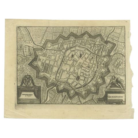
Antique Map of the City of Groningen Made After Harrewijn, C.1750
1750 · € 110
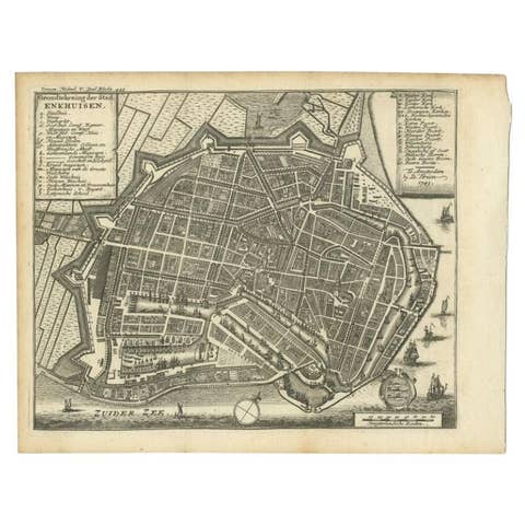
Antique Map of the City of Enkhuizen by Tirion, 1743
1743 · € 150
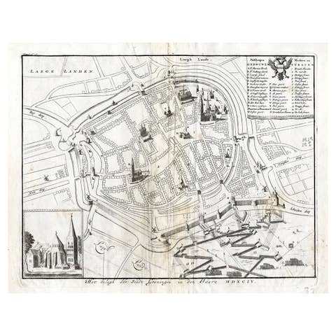
Antique Map of the Siege of Groningen by Le Clerc, 1730
1730 · € 150
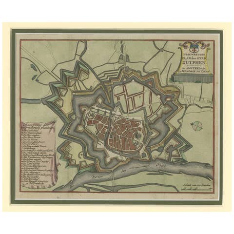
Detailed Plan of the City of Zutphen, The Netherlands – Hendrik de Leth, c.1740
1740 · € 480
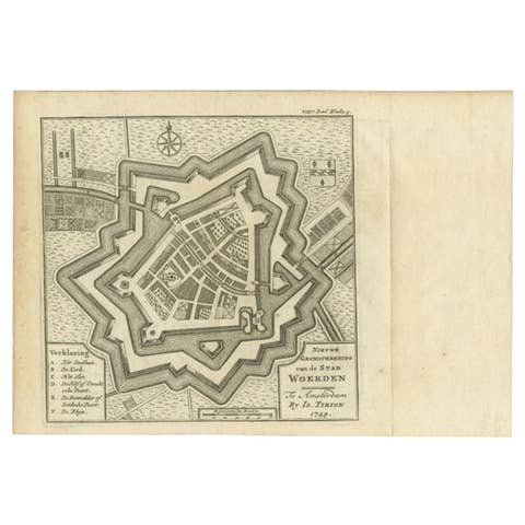
Antique Map of the City of Woerden by Tirion, c.1750
1750 · € 125
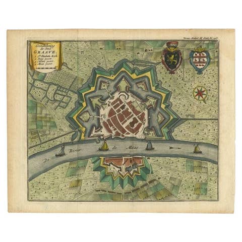
Antique Plan of the City of Grave, Holland - Coats of Arms & Compass Rose, 1750
1750 · € 220

Your favorites

Saved in this browser. Email the list to yourself to keep it on any device.

We use your email to send this list and, only if you tick the box and confirm, for occasional new arrivals. Every email has an unsubscribe link. Bartele Gallery, the Netherlands.