About this sheet
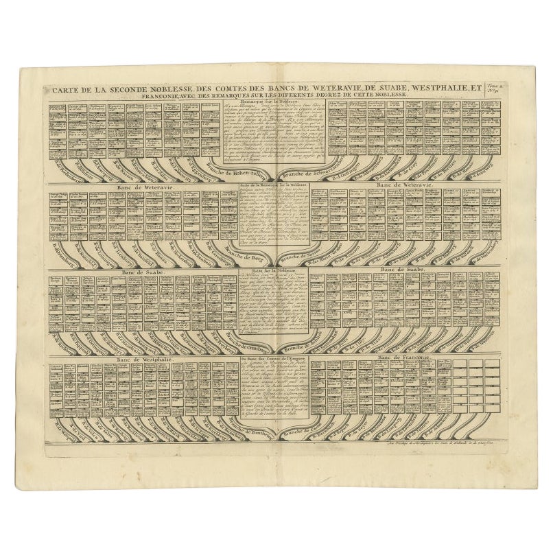
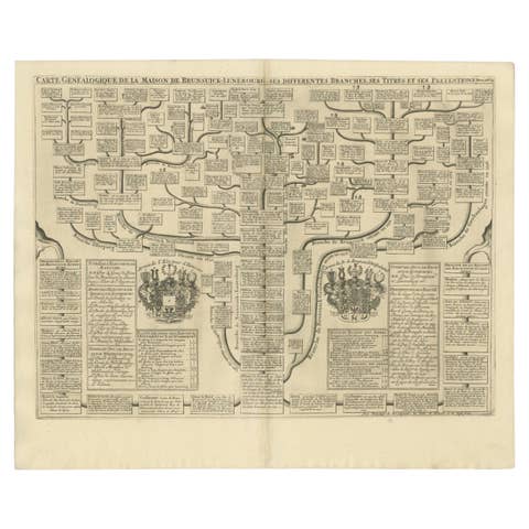
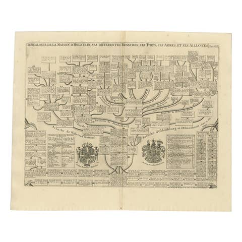
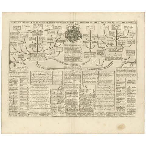
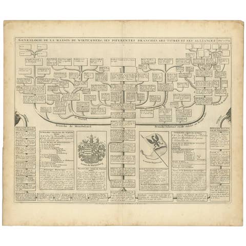
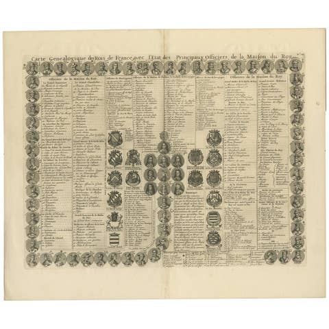
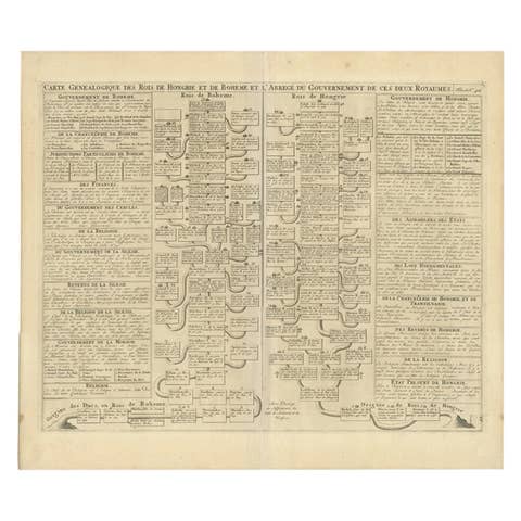
Antique print titled 'Carte de la Seconde Noblesse (..)'. Chart of the noble counts of the second branch of Weteravie, Swabia, Westphalia and Franconia. This print orginates from 'Atlas Historique'.
Artists and Engravers: Henri Abraham Chatelain (1684-1743), his father Zacharie Chatelain (d.1723) and Zacharie Junior (1690-1754), worked as a partnership publishing the Atlas Historique.
Condition: Very good, general age-related toning. Please study image carefully.
Date: 1732
Overall size: 53 x 43.2 cm.
Image size: 47.1 x 36.6 cm.
We also offer thousands of antique prints covering fields of interest as diverse as architecture, natural history, religion, ethnology and many more. Antique prints have long been appreciated for both their aesthetic and investment value. They were the product of engraved, etched or lithographed plates. These plates were handmade out of wood or metal, which required an incredible level of skill, patience and craftsmanship. Whether you have a house with Victorian furniture or more contemporary decor an old engraving can enhance your living space.