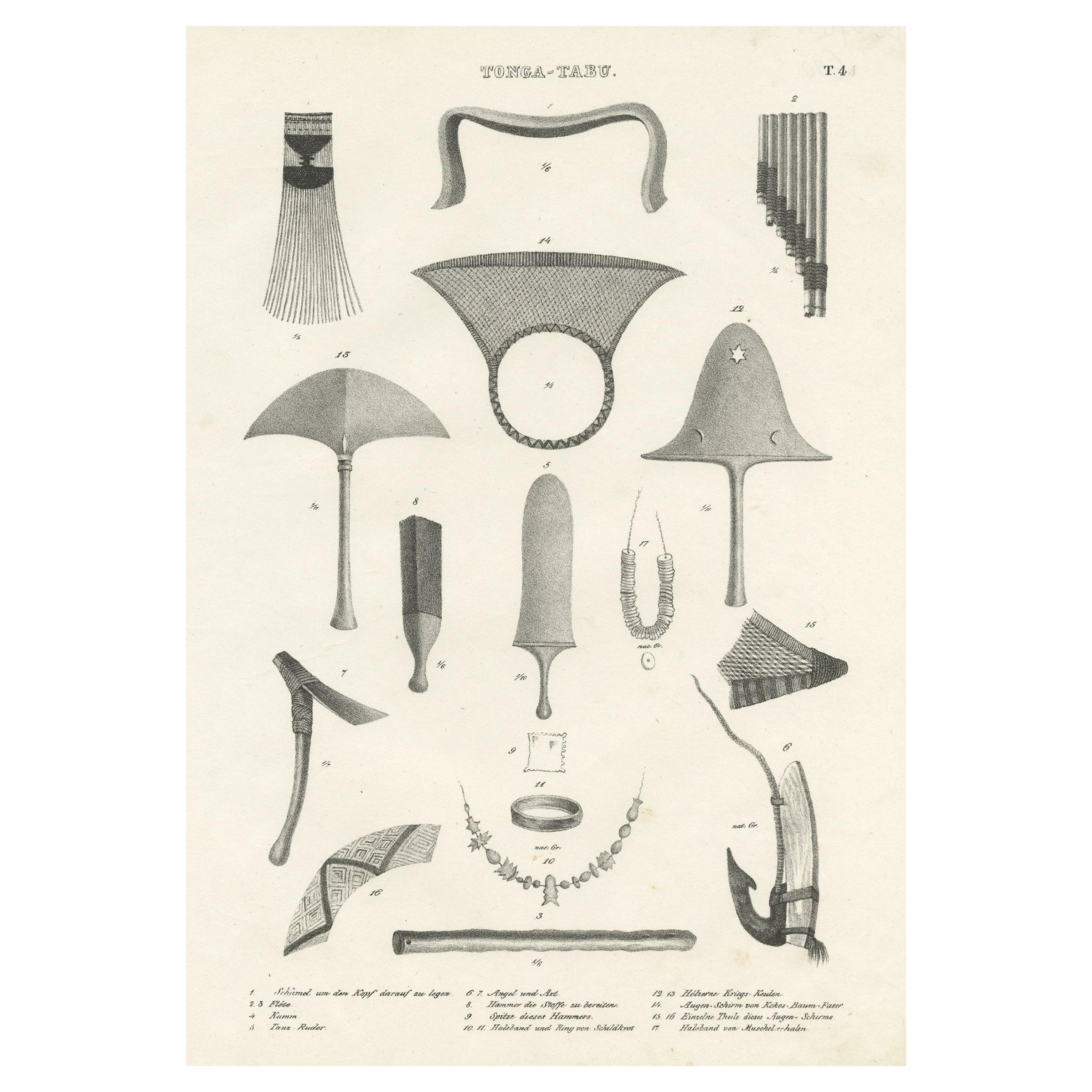
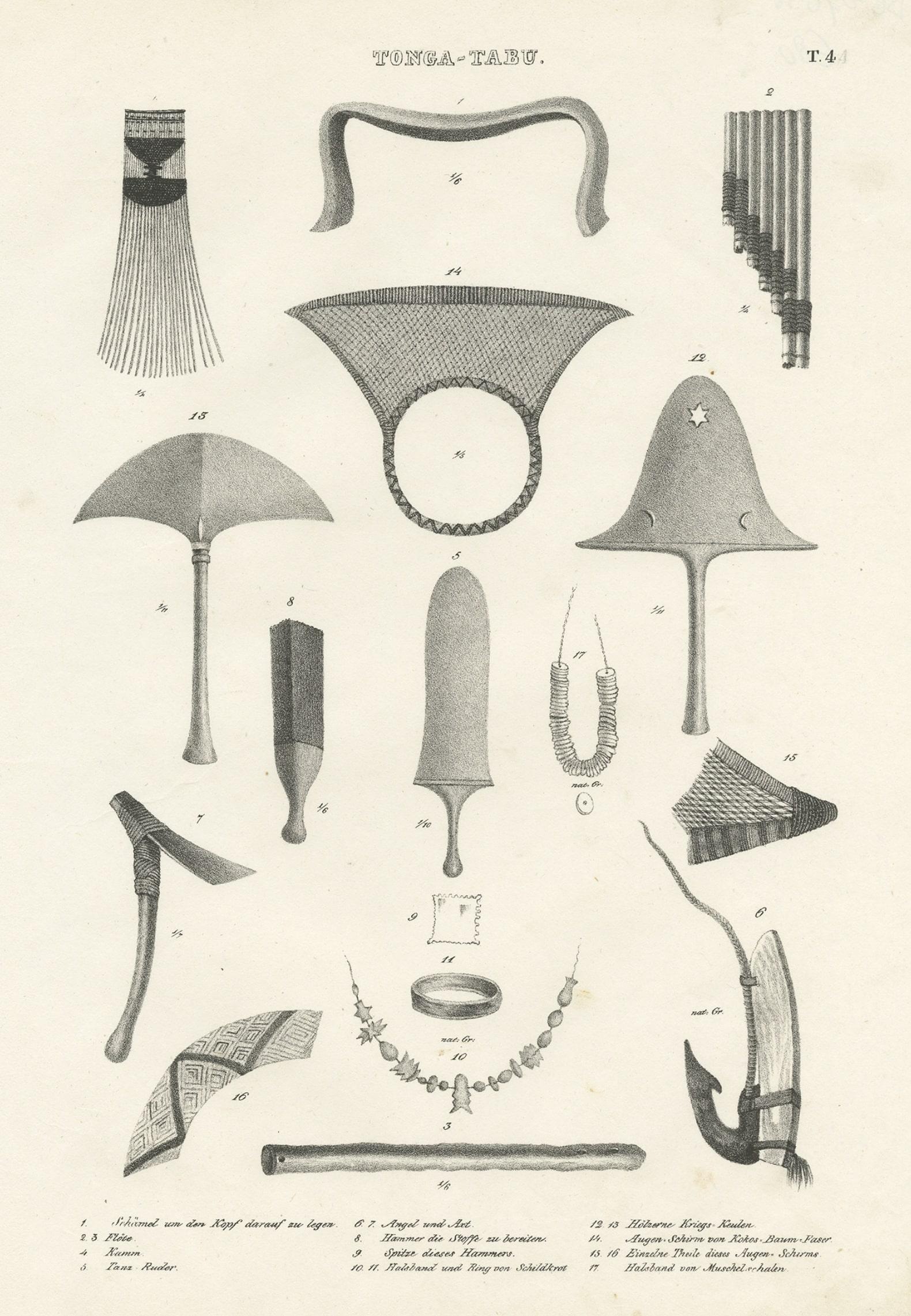
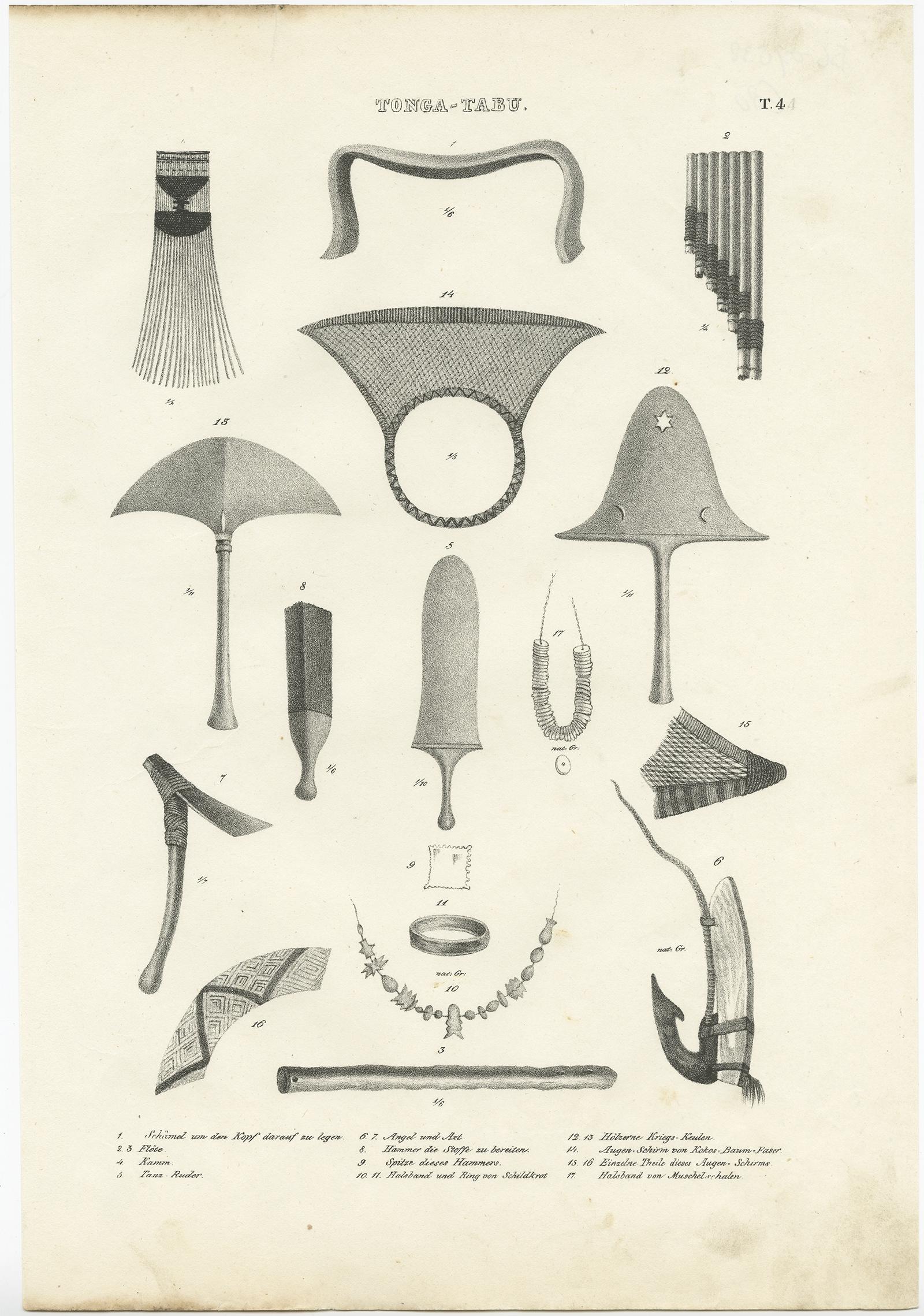
Old Print Depicting Various Utensils of Tongatabu, Site of Tonga's Capital, 1836
€ 320
One of a kind: this is the sheet in the photographs. Ships from Langweer, the Netherlands.
Date
1836
Sheet size
34.5 × 24 cm (13.6 × 9.4 in)
Condition
Good
Reference
BG-07838
Condition
please study image carefully.
About this sheet
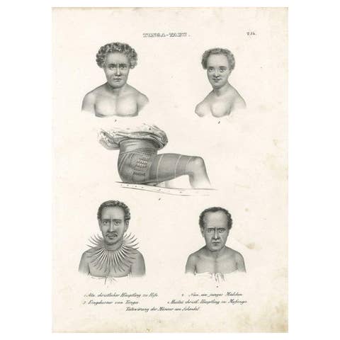
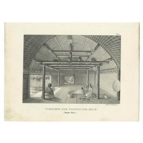
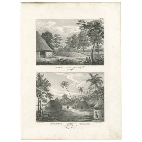
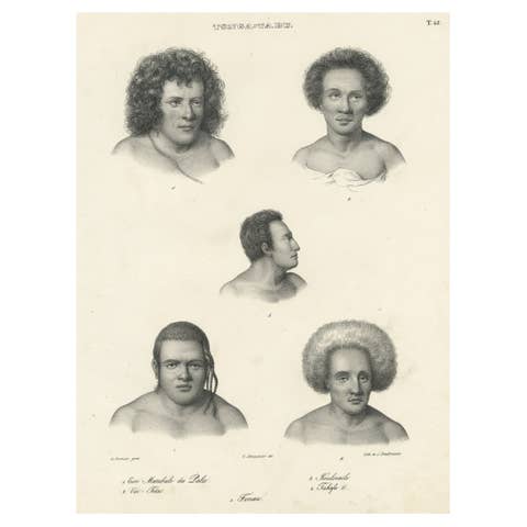
Antique print titled 'Tonga-Tabu'.
Tongatapu is the main island of the Kingdom of Tonga and site of Tonga’s capital, Nuku?alofa. It is located in Tonga's southern island group, to which it gives its name, and is the country's most populous island, with 74,611 residents (2016), 70.5% of the national population, on 260 square kilometres (100 square miles). Its maximum elevation is 28 metres (92 feet) above sea level. Tongatapu is Tonga's centre of government and the seat of its monarchy. Tongatapu has experienced more rapid economic development than the other islands of the Kingdom, and has thus attracted many internal migrants from them.
Old print depicting various utensils of Tonga Tabu. This print originates from 'Entdeckungs, Reise der Franzosischen Corvette Astrolabe Unternomen auf Befehl Konig Karls X'. These are the German titled views originally issued in Dumont d'Urville 'Voyage Autor du Monde'.
Artists and engravers: Engraved by K.J. Brodtmann after L.A. de Sainson.