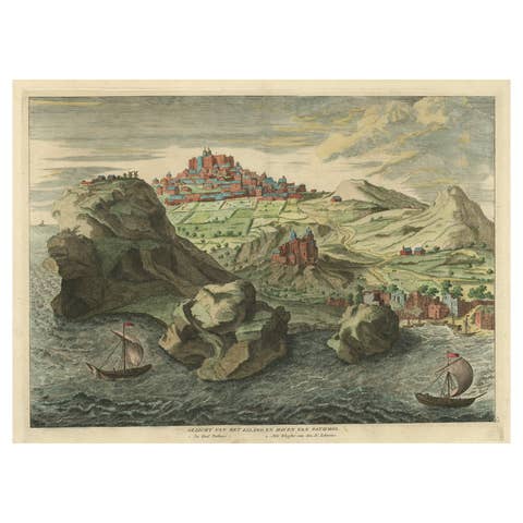
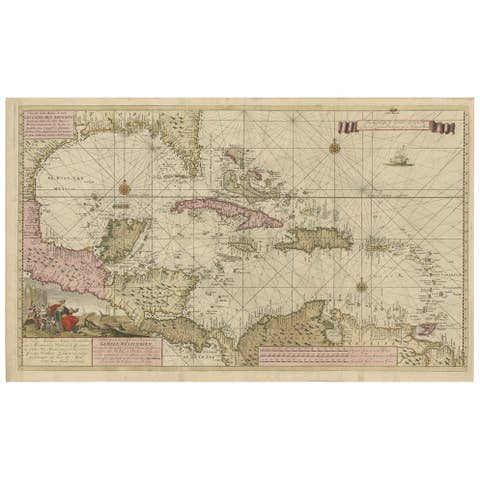
Antique Print of the Malabar Coast of India showing the VOC establishments, 1726
€ 280
One of a kind: this is the sheet in the photographs. Ships from Langweer, the Netherlands.
Date
1726
Sheet size
34 × 42.5 cm (13.4 × 16.7 in)
Condition
Good
Reference
BG-13424-19
Condition
Almost excellent condition, especially considering its age. A view folding lines are visible. The coloring is from recent years on a slightly discolored sheet due to age. Study the image carefully.
About this sheet
Dutch print with the title: Platte Grond van t'Fort Tricoen male met de daar aangelegen Pagoods-Berg (Trincomalee, Sri Lanka)
The map is taken from: 'Oud en Nieuw Oost-Indiën' van François Valentyn.
1) Ottens, Frederik (engraver / etcher) 2) Braam, J. van (publisher) 3) Linden, Gerard onder de (publisher)
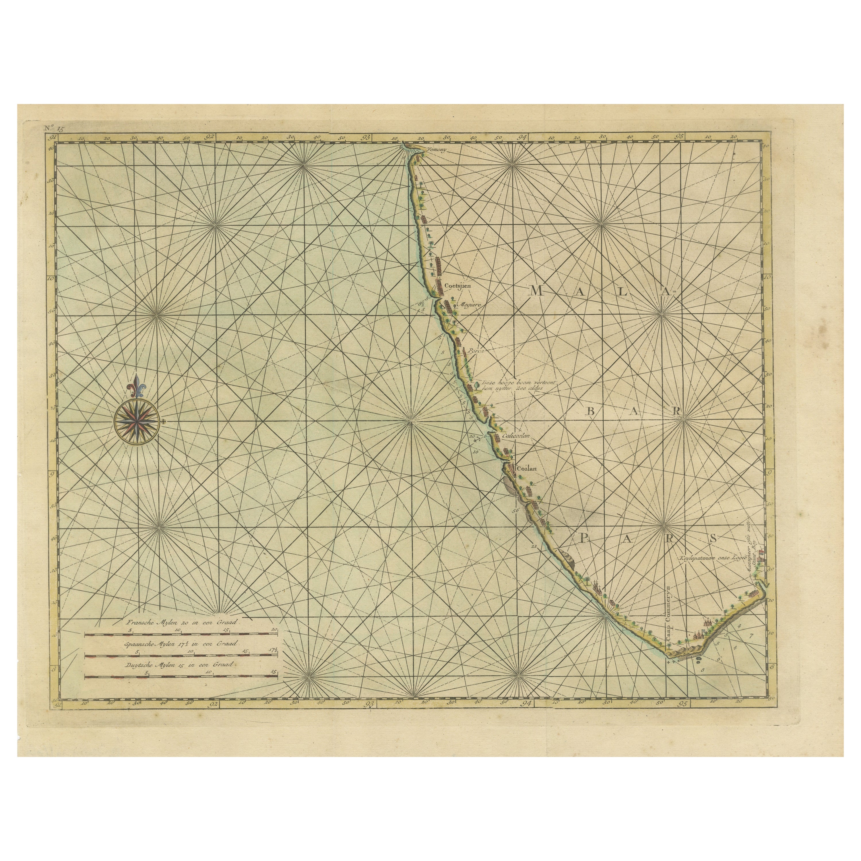
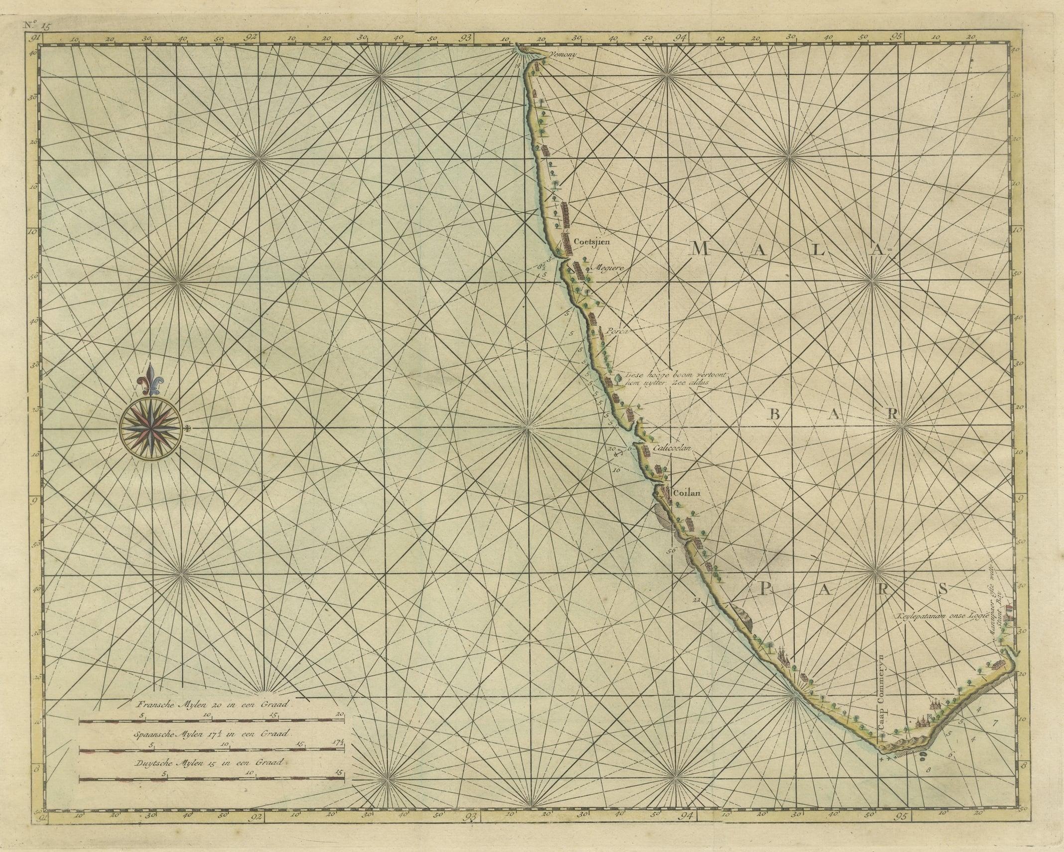
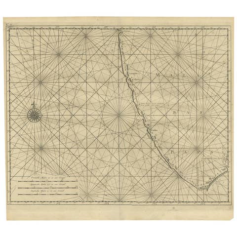
MALABAR COAST
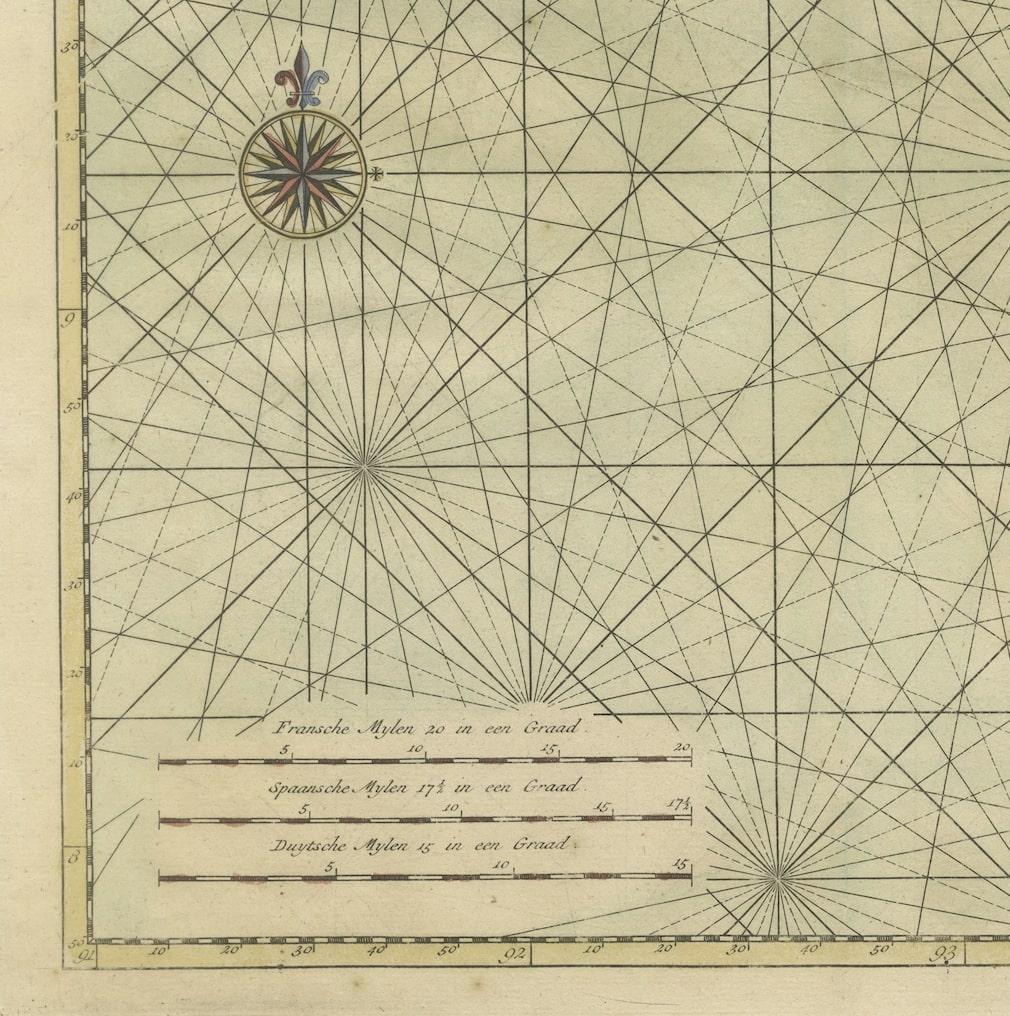
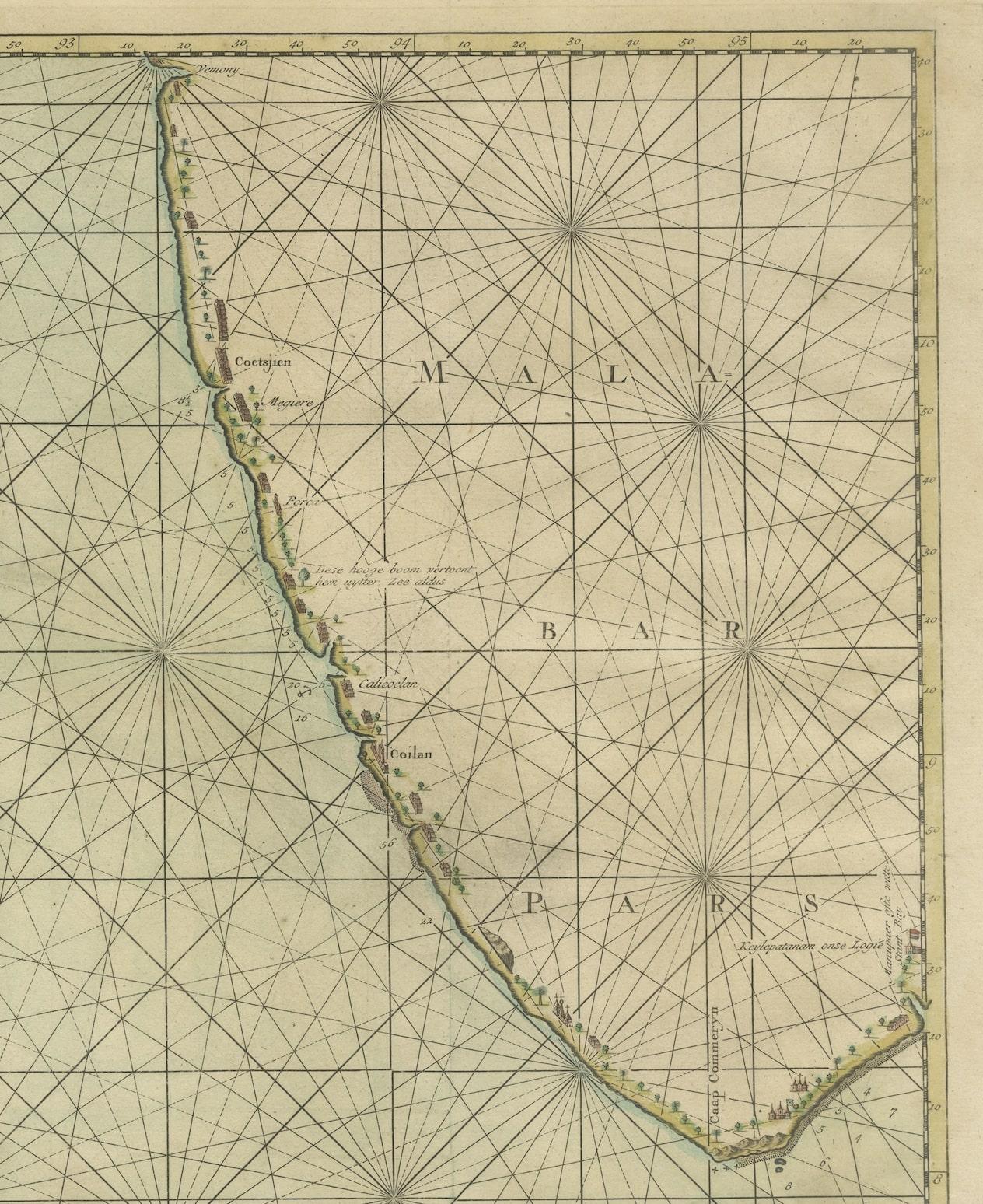
Sea chart of the Malabar Coast, also known as the Pepper Coast, in southwestern India. It features the most significant VOC (Dutch East India Company) establishments along this coast. A compass rose is depicted in the west; scale bars are present in the lower left. Blank verso. Hand-colored copper engraving, published in 1724-1726 in Dordrecht by Joannes van Braam and Gerard Onder de Linden in "Oud en nieuw Oost-Indiën," encompassing a precise and extensive narrative of Dutch power in those regions, along with a comprehensive description of the Moluccas... and all the islands under their administration; the Dutch comptoir in Surat, and the lives of the Great Moguls (...), by François Valentyn.
Immerse yourself in the enchanting allure of the Malabar Coast with this captivating sea chart. Originating from the southwestern shores of India, this hand-colored copper engraving beautifully showcases the Pepper Coast, renowned as the Malabar Coast. It meticulously highlights the notable Dutch East India Company (VOC) establishments that dotted this coastal paradise.
Crafted with intricate detail and artistic precision, this map unveils the strategic points of interest along the coast, complemented by a compass rose in the western expanse and scale bars for navigational guidance in the lower left. No text on the verso.
Published between 1724-1726 in Dordrecht by Joannes van Braam and Gerard Onder de Linden as part of "Oud en nieuw Oost-Indiën," this captivating engraving forms part of François Valentyn's meticulous narrative. Offering a vivid portrayal of Dutch power in the region, it presents a rich tapestry of descriptions encompassing the Moluccas, the Dutch comptoir in Surat, and intriguing insights into the lives of the Great Moguls. An evocative piece, it invites you on a historical voyage through the treasures and maritime legacy of the Malabar Coast.