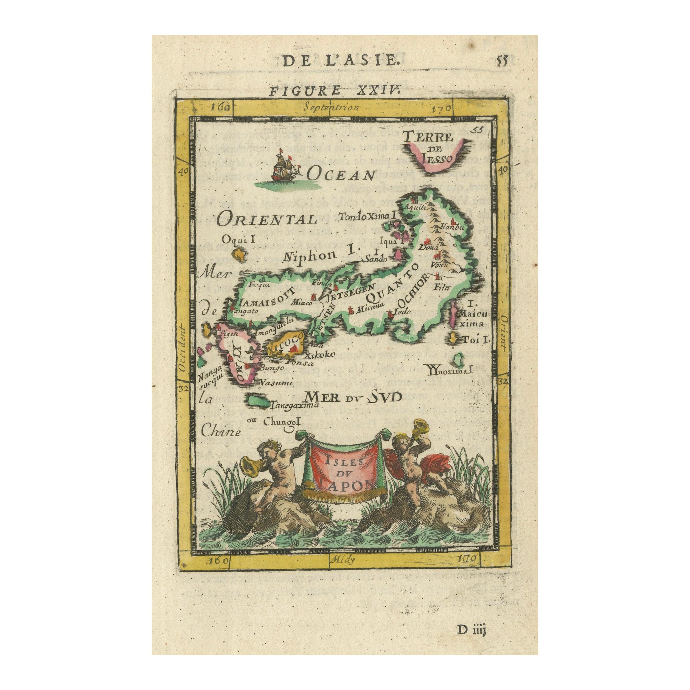
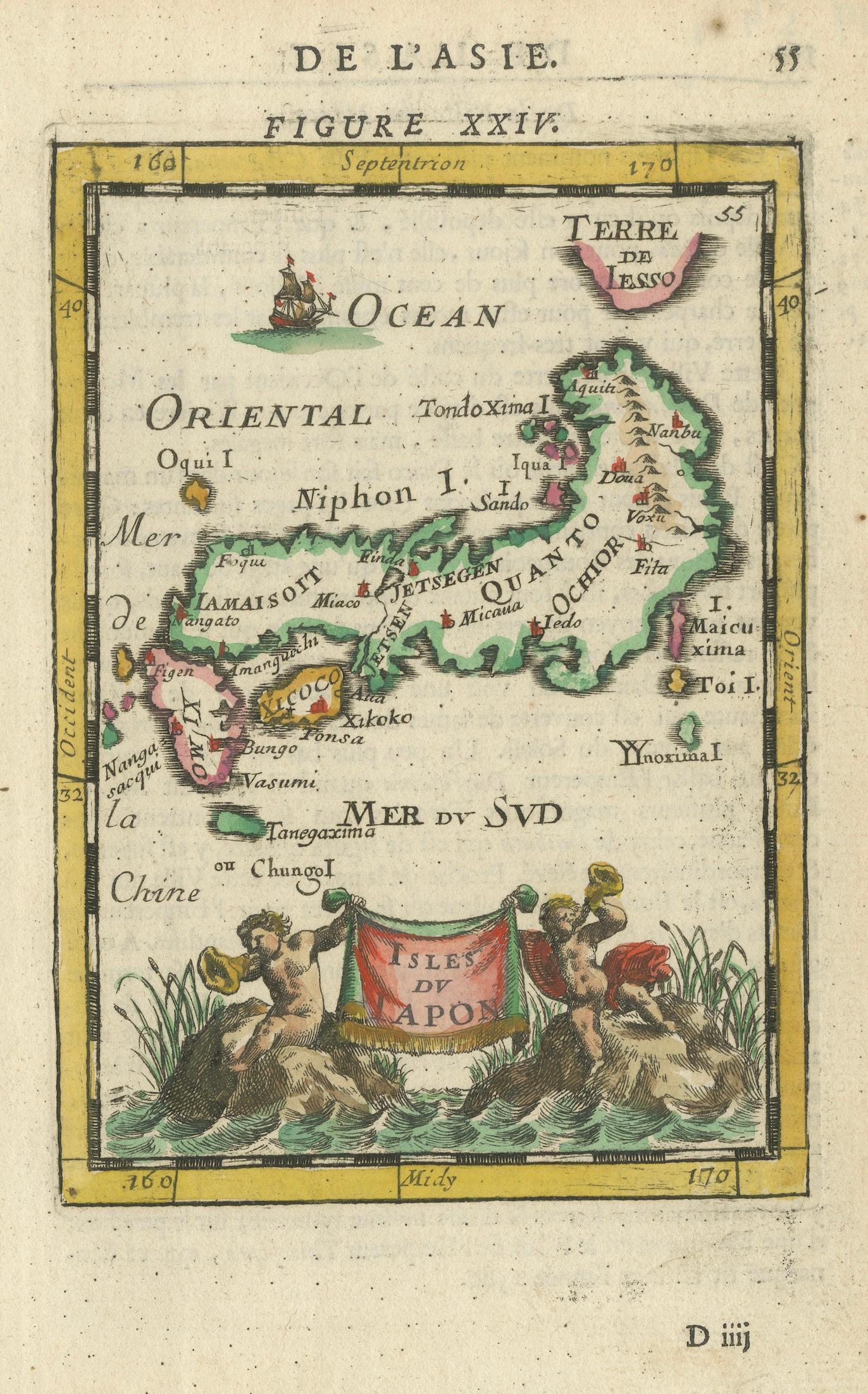
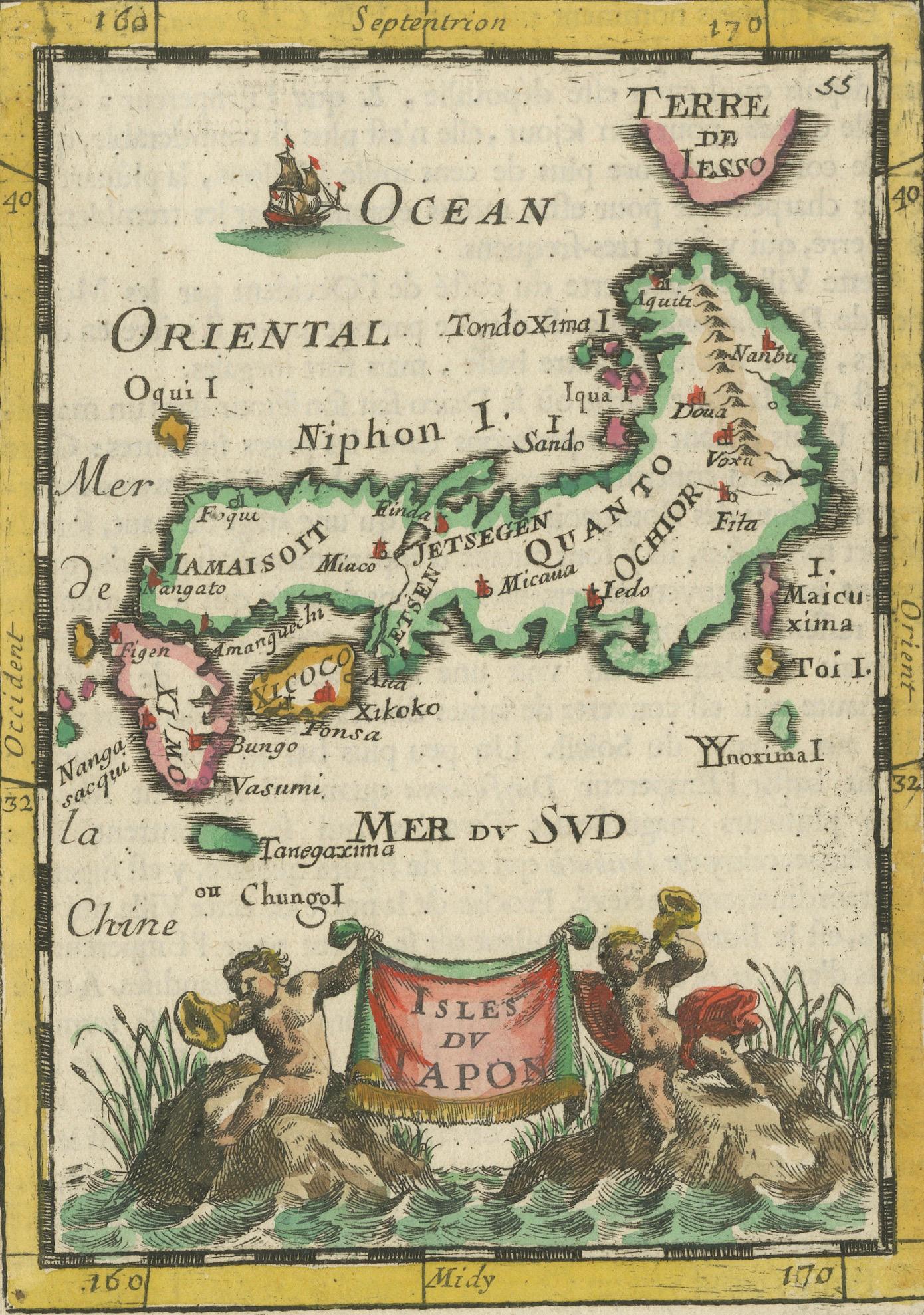
Japanese Isles Map by Mallet, 1683 – Decorative Miniature Map
€ 440
One of a kind: this is the sheet in the photographs. Ships from Langweer, the Netherlands.
Date
1683
Sheet size
20.8 × 13.5 cm (8.2 × 5.3 in)
Condition
Good
Reference
BGSH-005
Condition
Very good condition. Strong impression with original hand colouring. Light age toning and faint spotting typical for antique paper, minor marginal marks away from the engraved area. No tears or restorations noted. Fully suitable for framing.
About this sheet
1683 Map of Japan Isles by Mallet – Decorative Miniature Map
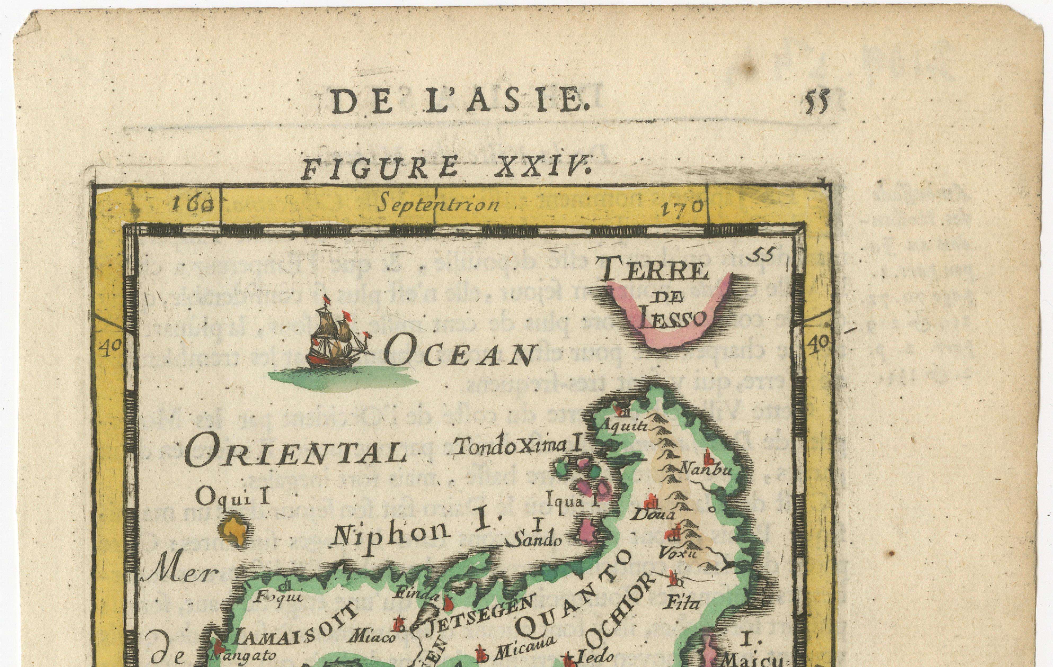
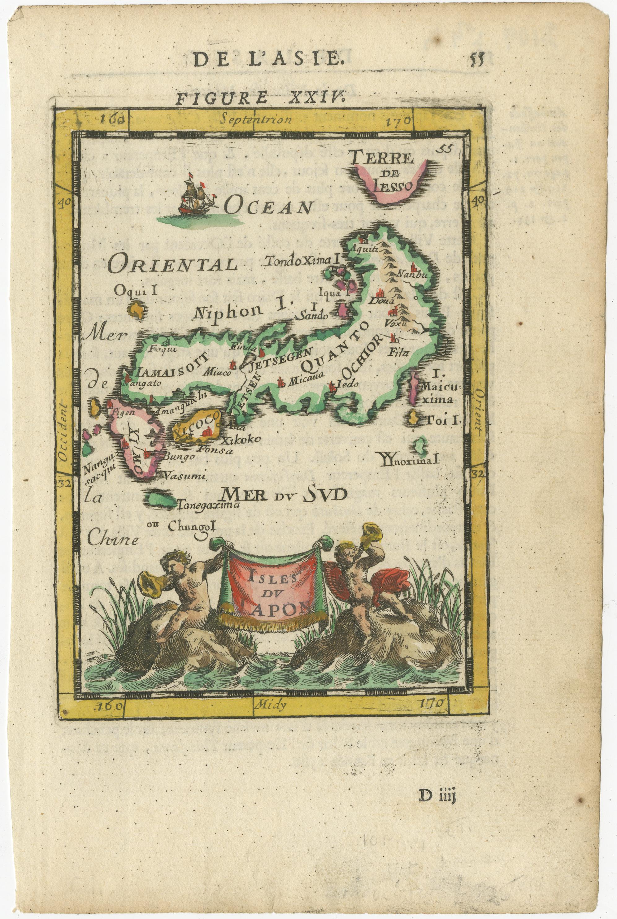
This is an original antique map titled “Isles du Japon,” created by Alain Manesson Mallet and published in Paris in 1683. It was part of his renowned work Description de l’Univers, which comprised hundreds of maps and city views to illustrate the known world in a compact and accessible format for 17th-century readers.
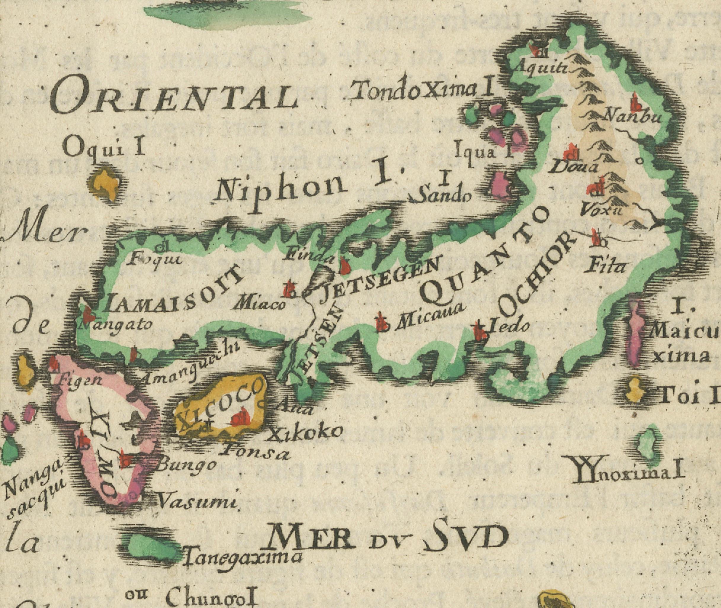
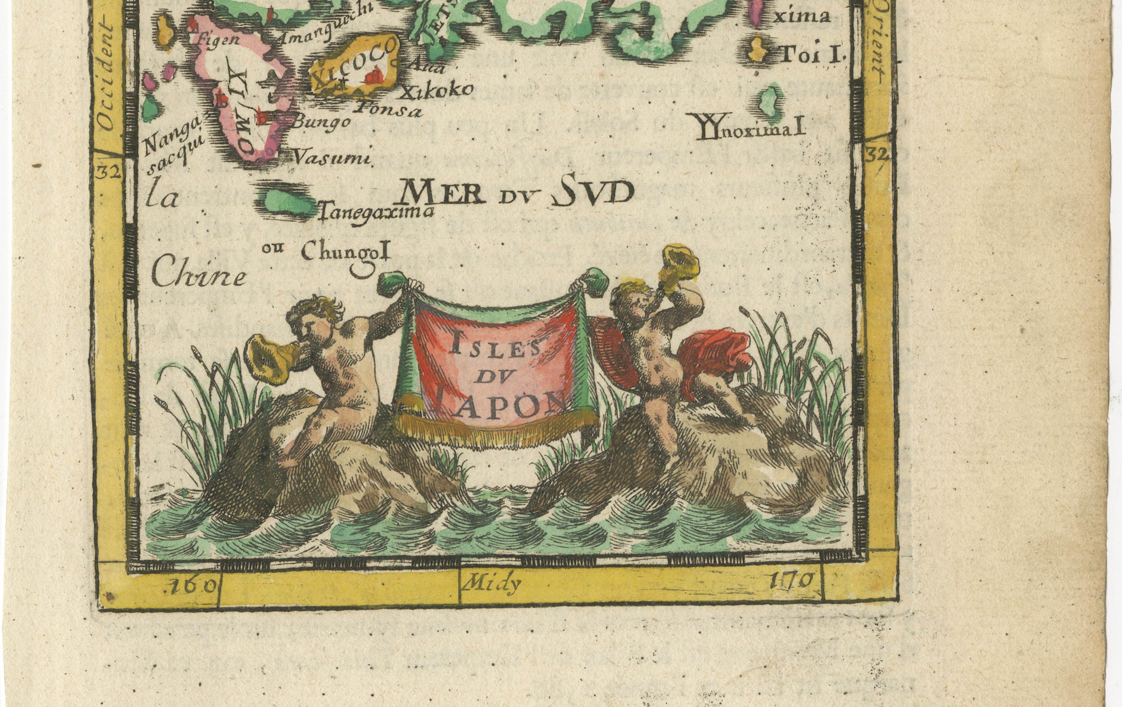
The engraving depicts Japan, labelled as “Isles du Japon,” in a stylised and decorative manner typical of Mallet’s miniature cartography. The islands are shown with names such as Niphon, Xicoco, and Ieso (Hokkaido), reflecting European understanding of Japanese geography in the late 17th century based on limited Dutch and Jesuit sources. The seas surrounding the islands are named “Mer de la Chine,” “Mer du Sud,” and “Ocean Oriental,” and a small ship sails off the coast, enhancing its maritime charm.
At the bottom of the map is an attractive cartouche supported by two cherubs holding a banner inscribed “Isles du Japon,” with decorative plants and water waves, adding artistic appeal. This embellishment, along with the bright original hand colouring, makes the map highly decorative despite its small size.
Alain Manesson Mallet (1630–1706) was a French cartographer, engineer, and military teacher who worked under King Louis XIV. His maps are valued not only for their geographical content but also for their artistic engraving and elegant presentation, making them ideal for collectors of early Japanese maps, decorative cartography, and 17th-century European views of Asia.
Condition: Very good condition. Strong impression with original hand colouring. Light age toning and faint spotting typical for antique paper, minor marginal marks away from the engraved area. No tears or restorations noted. Fully suitable for framing.
Framing tips: Frame this miniature map with a wide off-white archival mat to emphasise its small size and fine detail. A slim gilt or dark wood frame will provide a classic presentation. UV-protective glass is recommended to preserve the vivid hand colouring and prevent fading over time.