Historic Map of the Bishopric of Paderborn by Blaeu, a Masterpiece of 1645
€ 520
One of a kind: this is the sheet in the photographs. Ships from Langweer, the Netherlands.
Date
1645
Sheet size
45.5 × 57.5 cm (17.9 × 22.6 in)
Condition
Good
Reference
BG-13892-3
Condition
Good condition: Old hand-coloring in vibrant tones. Margins show minor toning, with some light spotting. Edges are slightly worn but intact. The map itself is clean, with sharp details and no significant tears or damage.
About this sheet
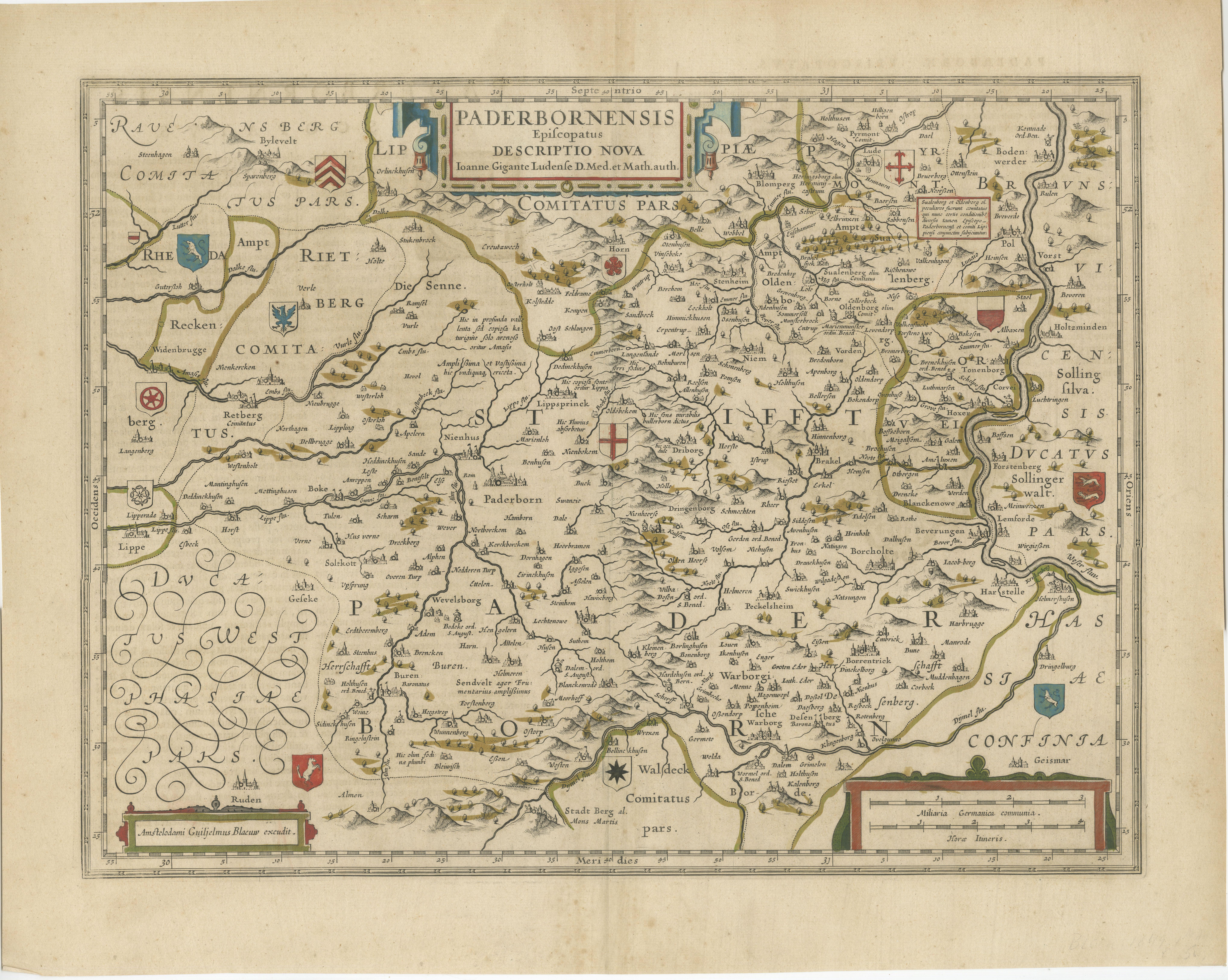
This hand-colored map, titled "Paderbornensis Episcopatus Descriptio Nova," depicts the Bishopric of Paderborn, a historical ecclesiastical territory within the Holy Roman Empire, located in present-day North Rhine-Westphalia, Germany.
Created by Johannes Gigante Ludolphus, the map was engraved and published by Willem and Joan Blaeu in Amsterdam as part of their renowned *Theatrum Orbis Terrarum, sive Atlas Novus* in the mid-17th century.
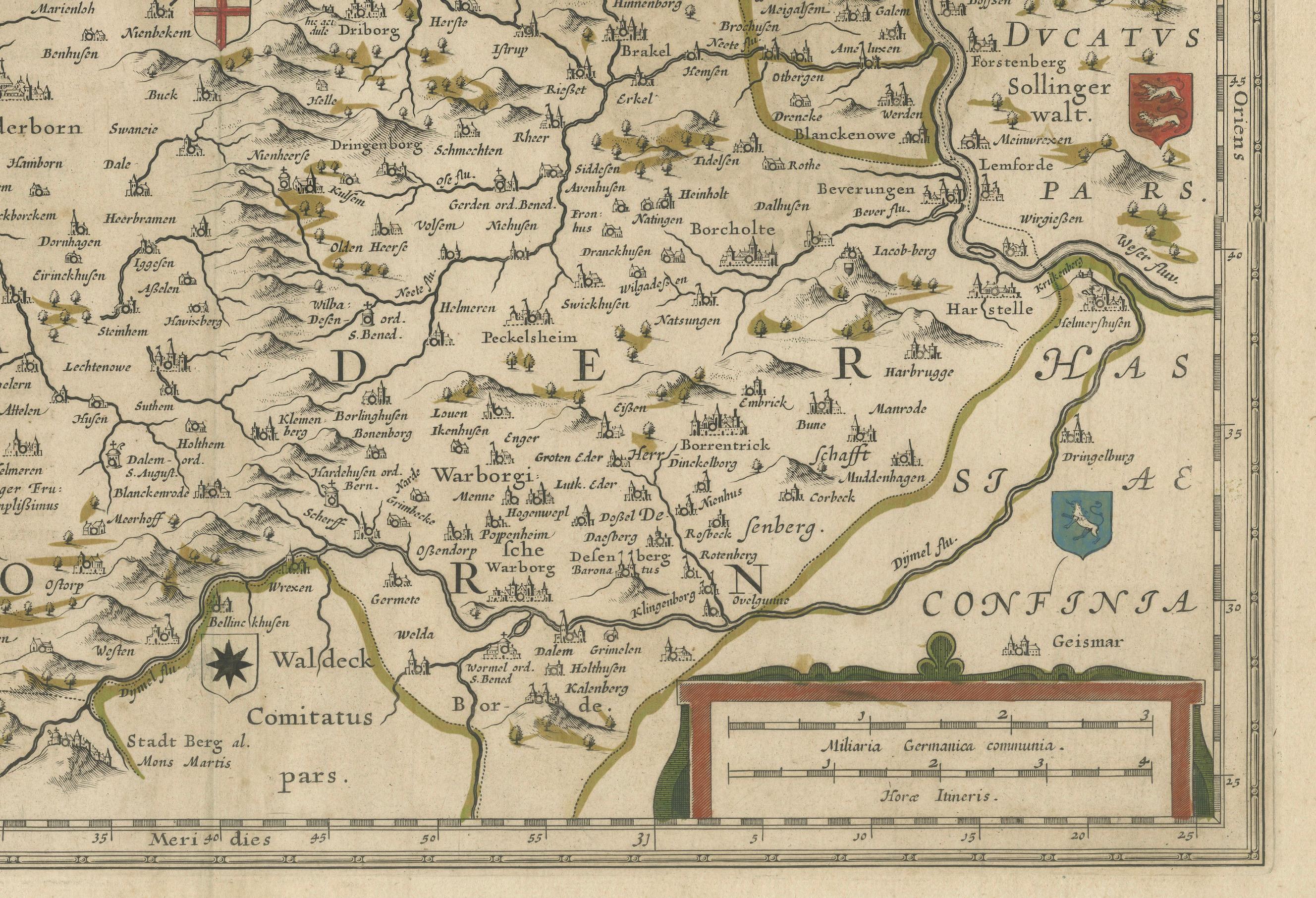
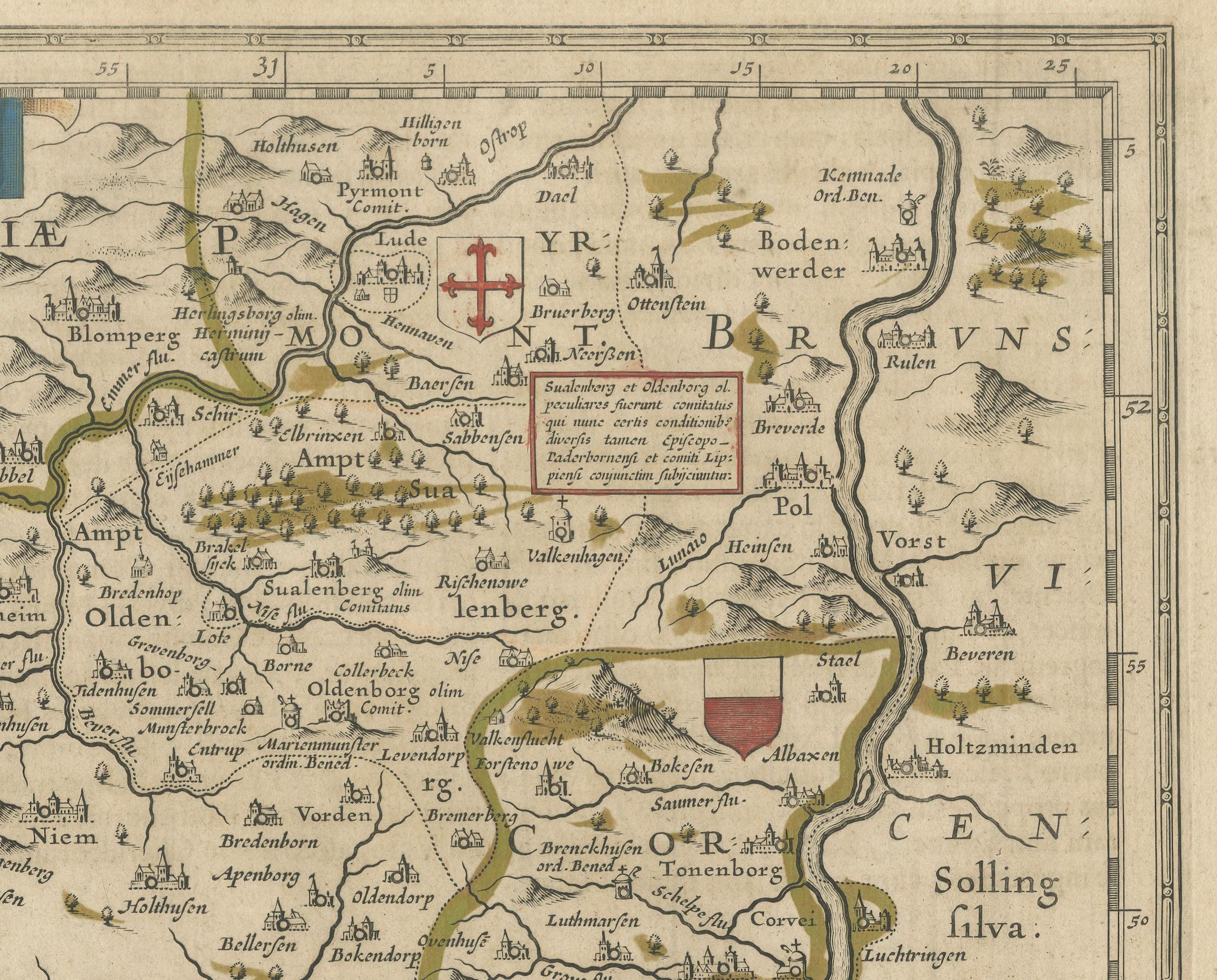
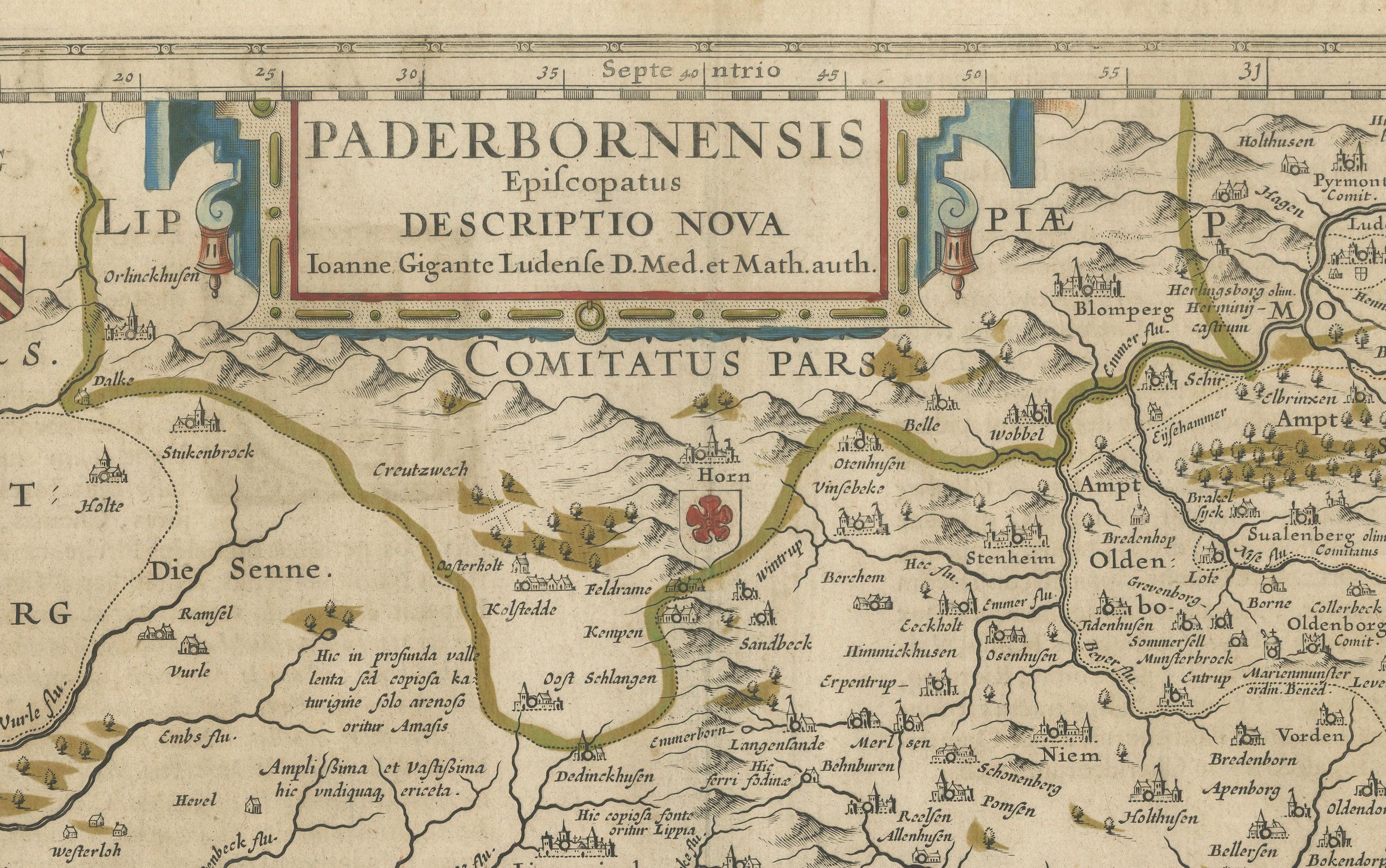
The map is richly detailed, showing the towns, rivers, forests, and mountains of the region, with an emphasis on its ecclesiastical and political divisions. Heraldic crests and coats of arms are prominently displayed, representing the bishopric's administrative authority. The title cartouche and decorative elements highlight the artistry typical of Blaeu maps, blending cartographic accuracy with visual elegance.
- Cartographer: Johannes Gigante Ludolphus - Engraver/Publisher: Willem Blaeu and Joan Blaeu - Title: Paderbornensis Episcopatus Descriptio Nova - Publication: Amsterdam, Blaeu Publishing, circa 1645 - Description: A detailed and visually stunning map of the Bishopric of Paderborn, located in modern-day Germany. The map displays settlements, rivers, forests, and heraldic symbols. Beautifully hand-colored, it features an elaborate title cartouche and precise engraving, representative of the Blaeu family's celebrated style.
- Condition: Old hand-coloring in vibrant tones. Margins show minor toning, with some light spotting. Edges are slightly worn but intact. The map itself is clean, with sharp details and no significant tears or damage. Overall, an excellent example of a 17th-century map. - Significance: From Blaeu’s *Atlas Novus*, this map exemplifies the merging of scientific accuracy and artistic beauty, making it a valuable piece for collectors and historians of European cartography.