The 4000km Exploration of Ernest Giles from Beltena to Perth, Australia in 1875
€ 320
One of a kind: this is the sheet in the photographs. Ships from Langweer, the Netherlands.
Date
1875
Sheet size
21 × 74.5 cm (8.3 × 29.3 in)
Condition
Good
Reference
BG-13699-6
Condition
Good to almost excellent, especially considering age. The paper thin with folds as issued. Please study the image carefully.
About this sheet
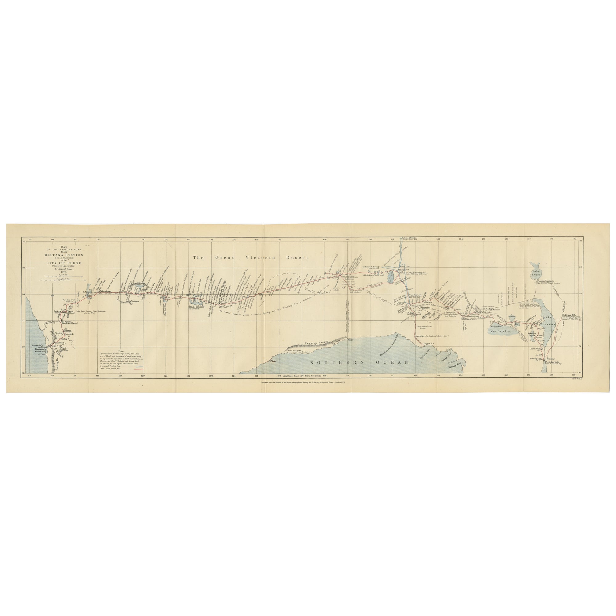
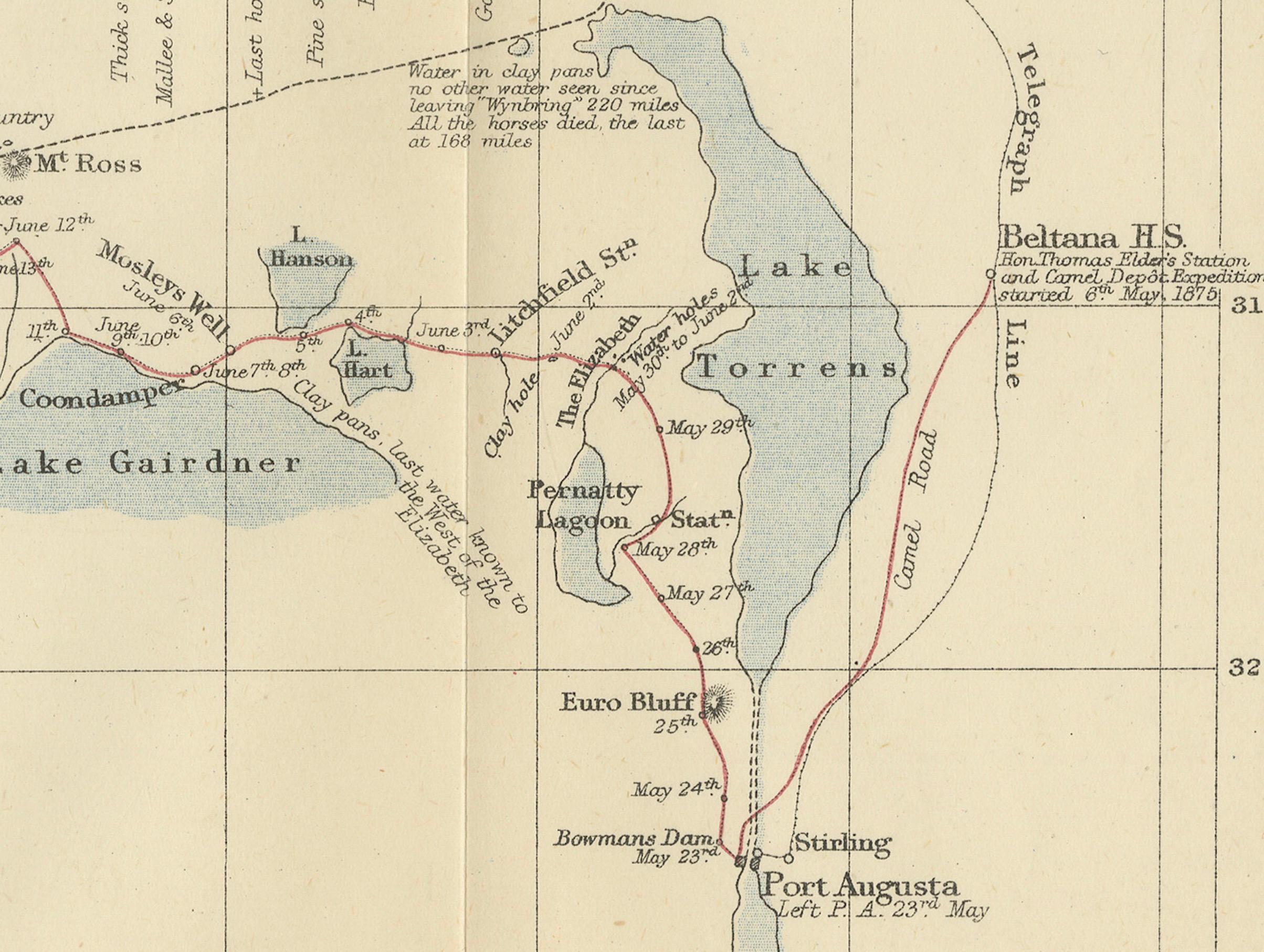
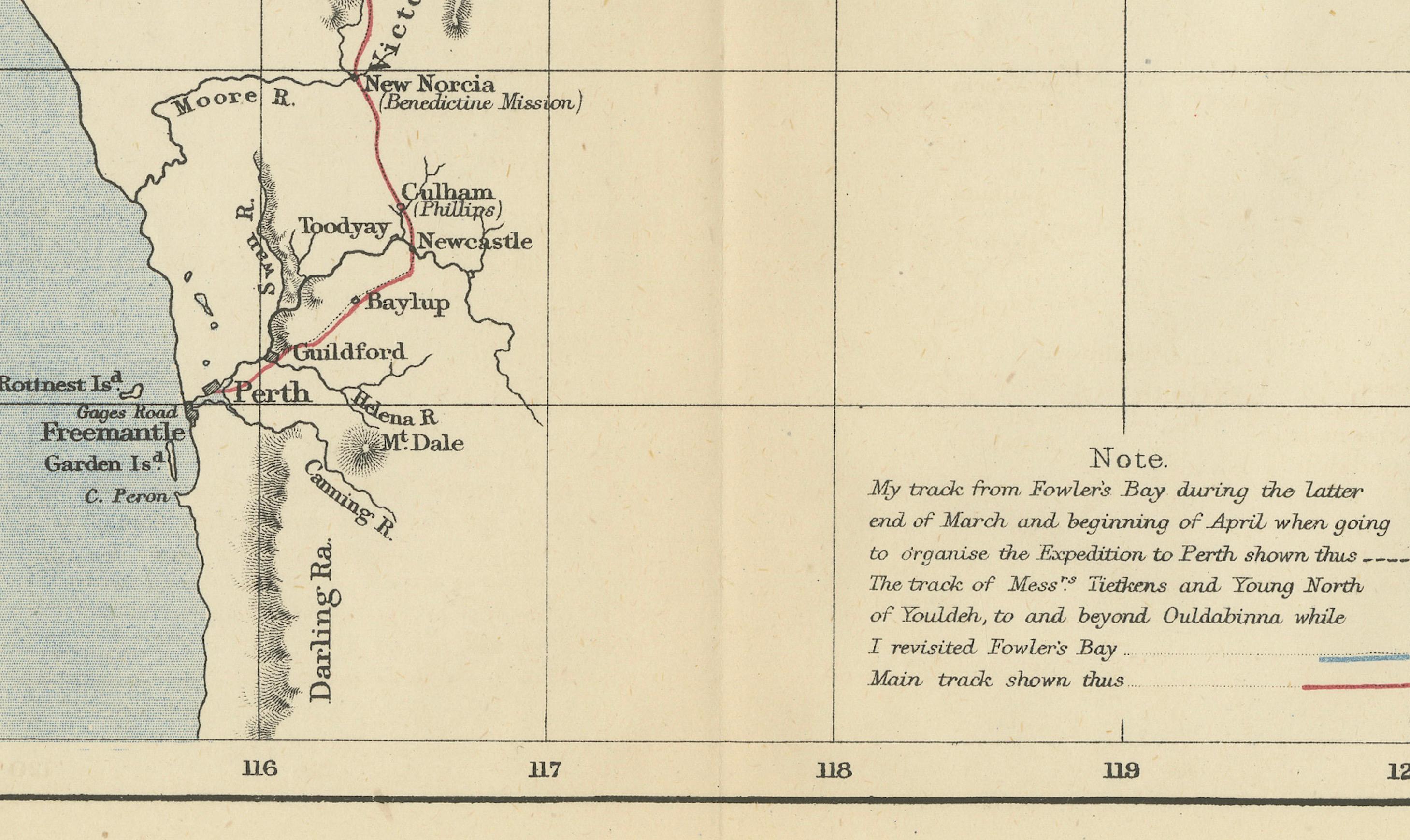
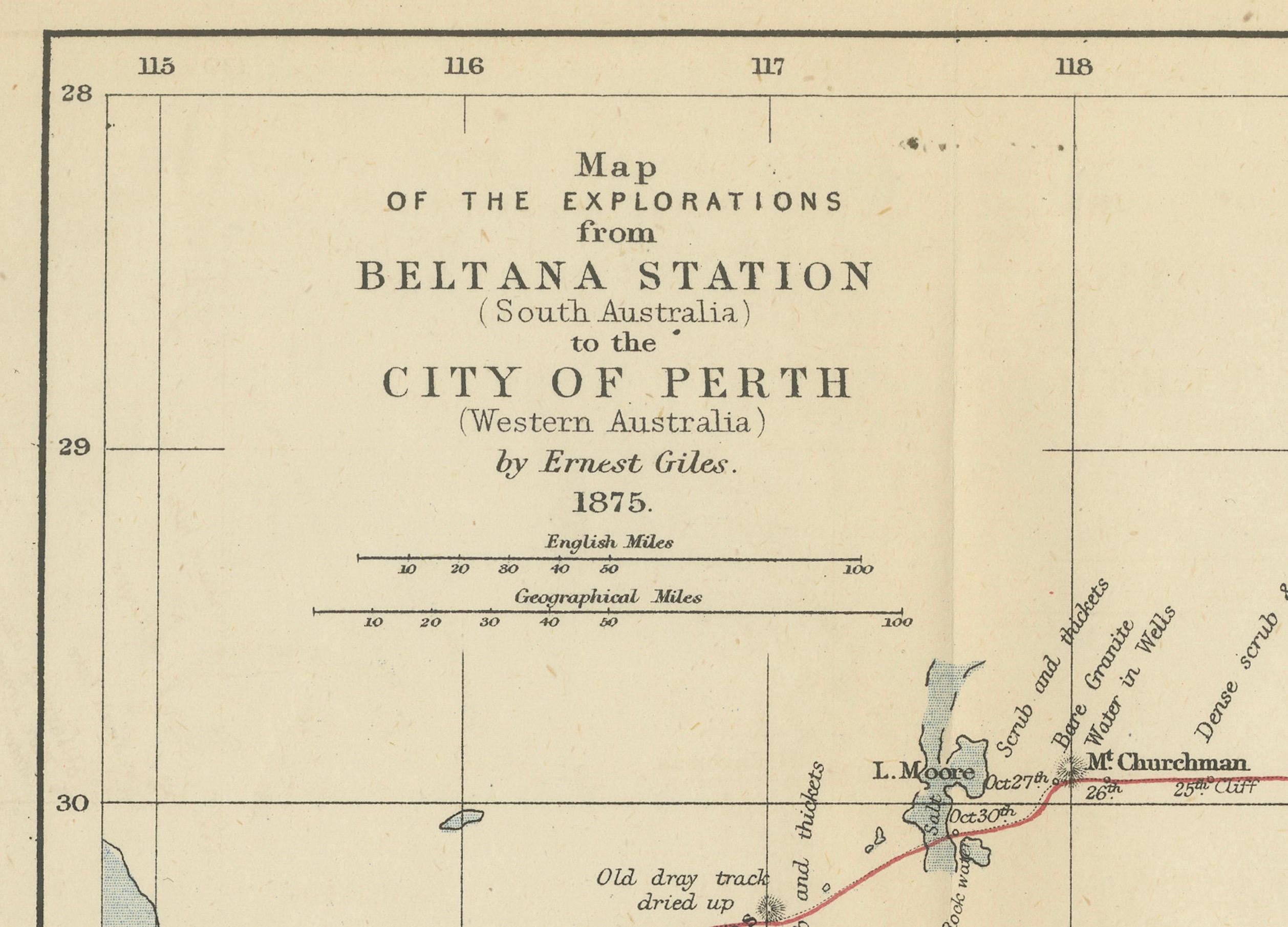
The map shows the route of the 1875 exploration led by Ernest Giles from Beltana Station in South Australia to the city of Perth in Western Australia. This was Giles' fourth and most significant expedition, setting out on May 6, 1875, from Thomas Elder’s camel breeding station at Beltana, and covering approximately four thousand kilometers or 2500 miles.
Ernest Giles was an English-Australian explorer who undertook five major expeditions into central Australia. In 1875, equipped with camels provided by the wealthy pastoralist and benefactor Thomas Elder, Giles aimed to traverse the unexplored desert region between Central Australia and Western Australia. His journey was a pivotal moment in the exploration of the Australian interior, although Giles himself was reportedly disappointed by the results of this particular expedition.
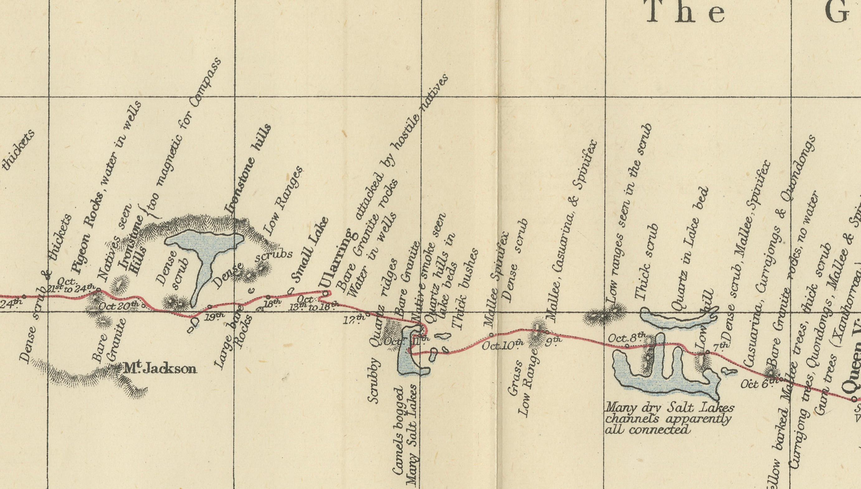
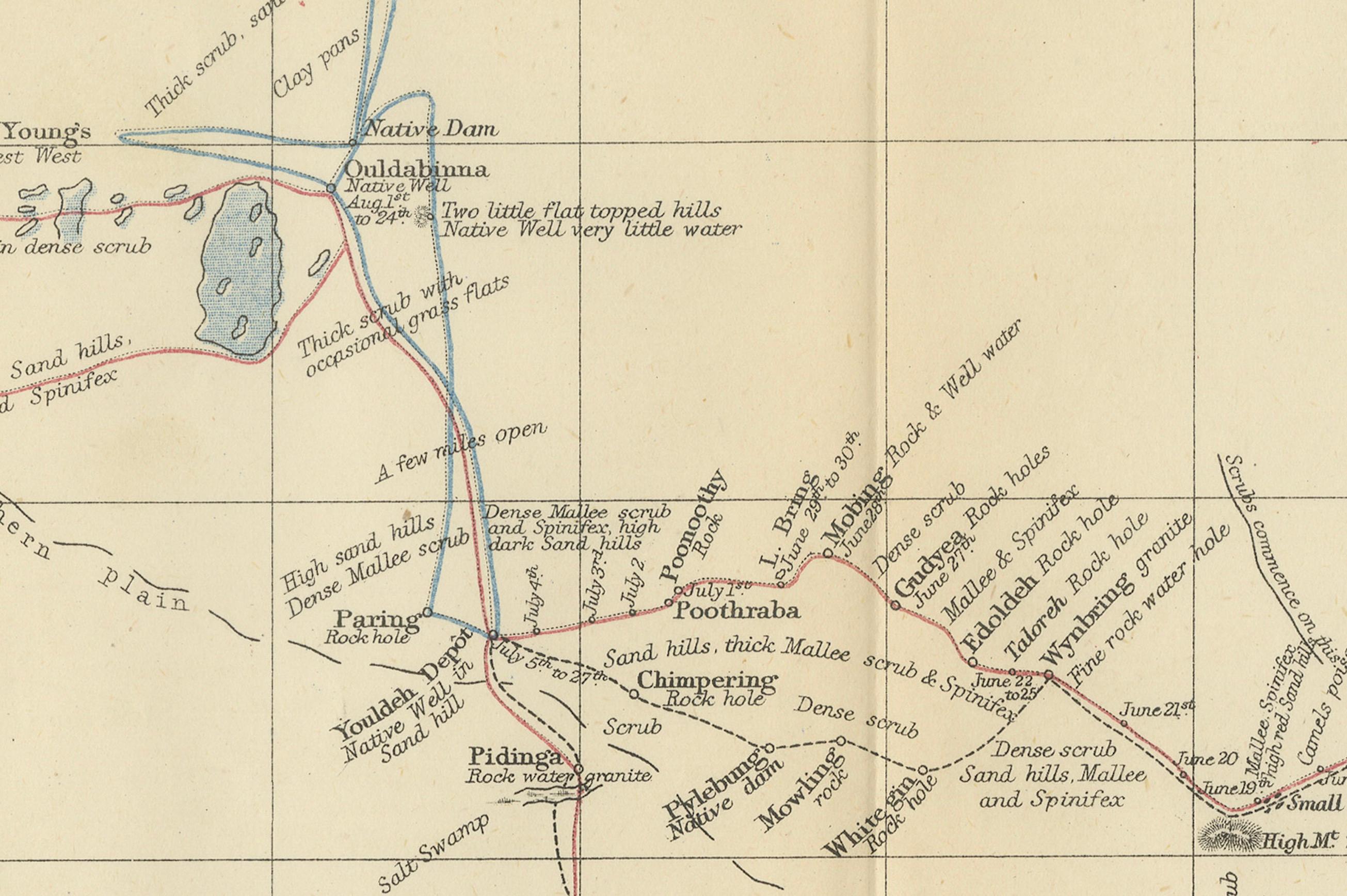
The map is a testament to the exploratory journeys that opened up the Australian outback for future settlement and provided crucial information about the harsh and diverse landscapes of the continent. The details on the map include topographical features like salt lakes and the Great Victoria Desert, illustrating the challenging conditions Giles and his team faced. Giles' expeditions were significant in that they contributed to the mapping of vast regions of Australia and advanced European understanding of the continent's interior.