About this sheet
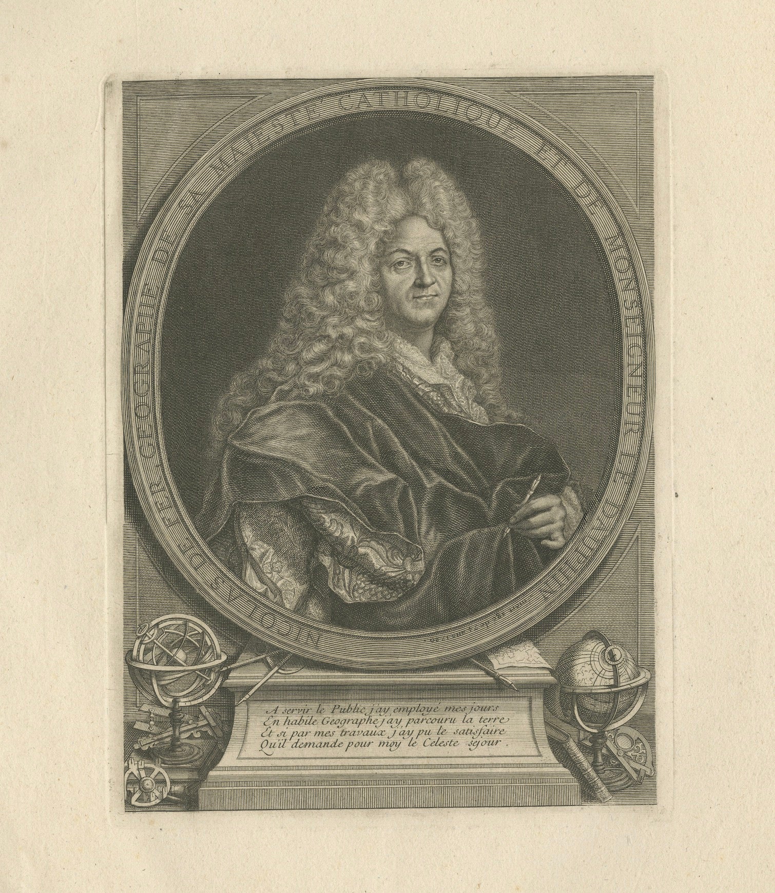
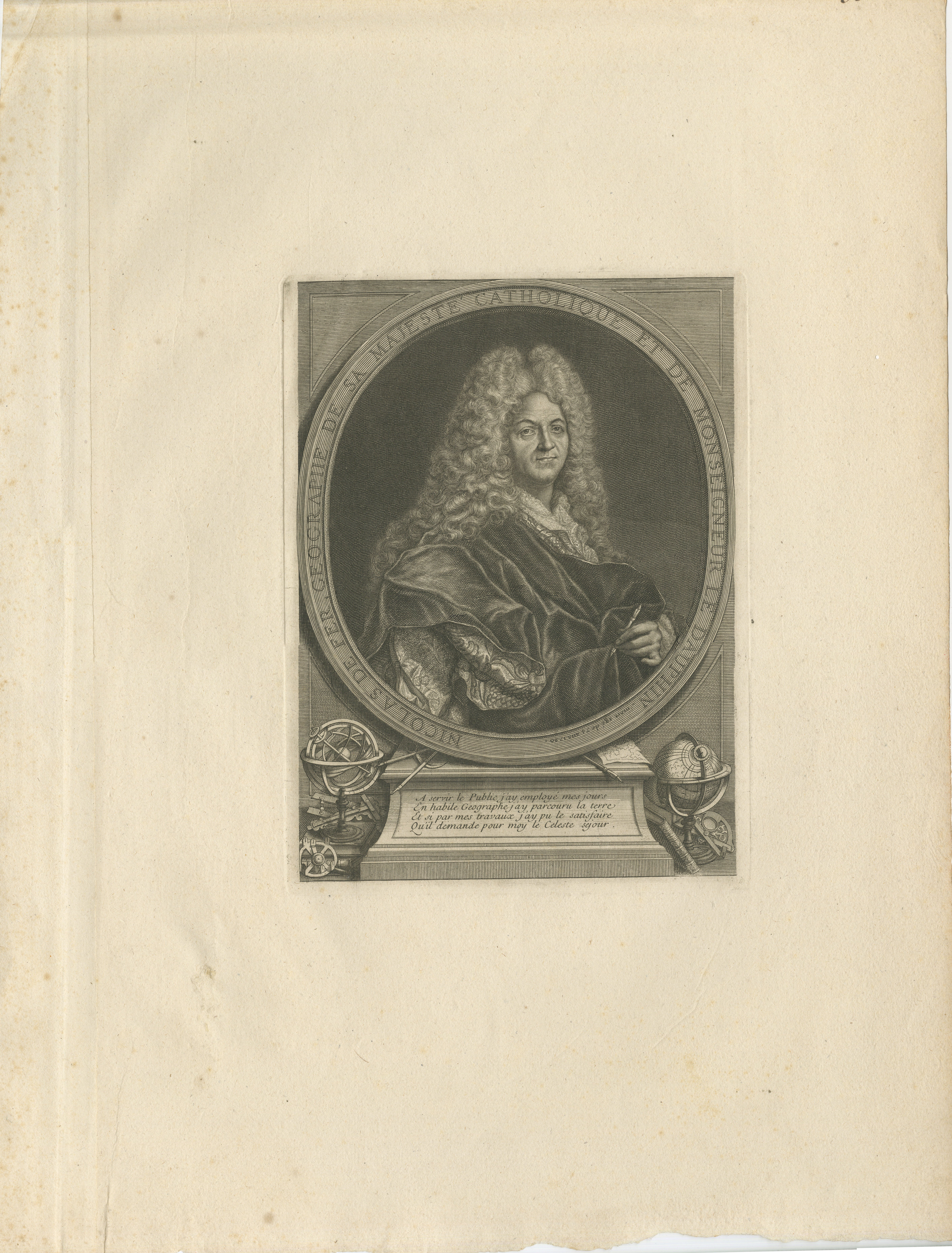
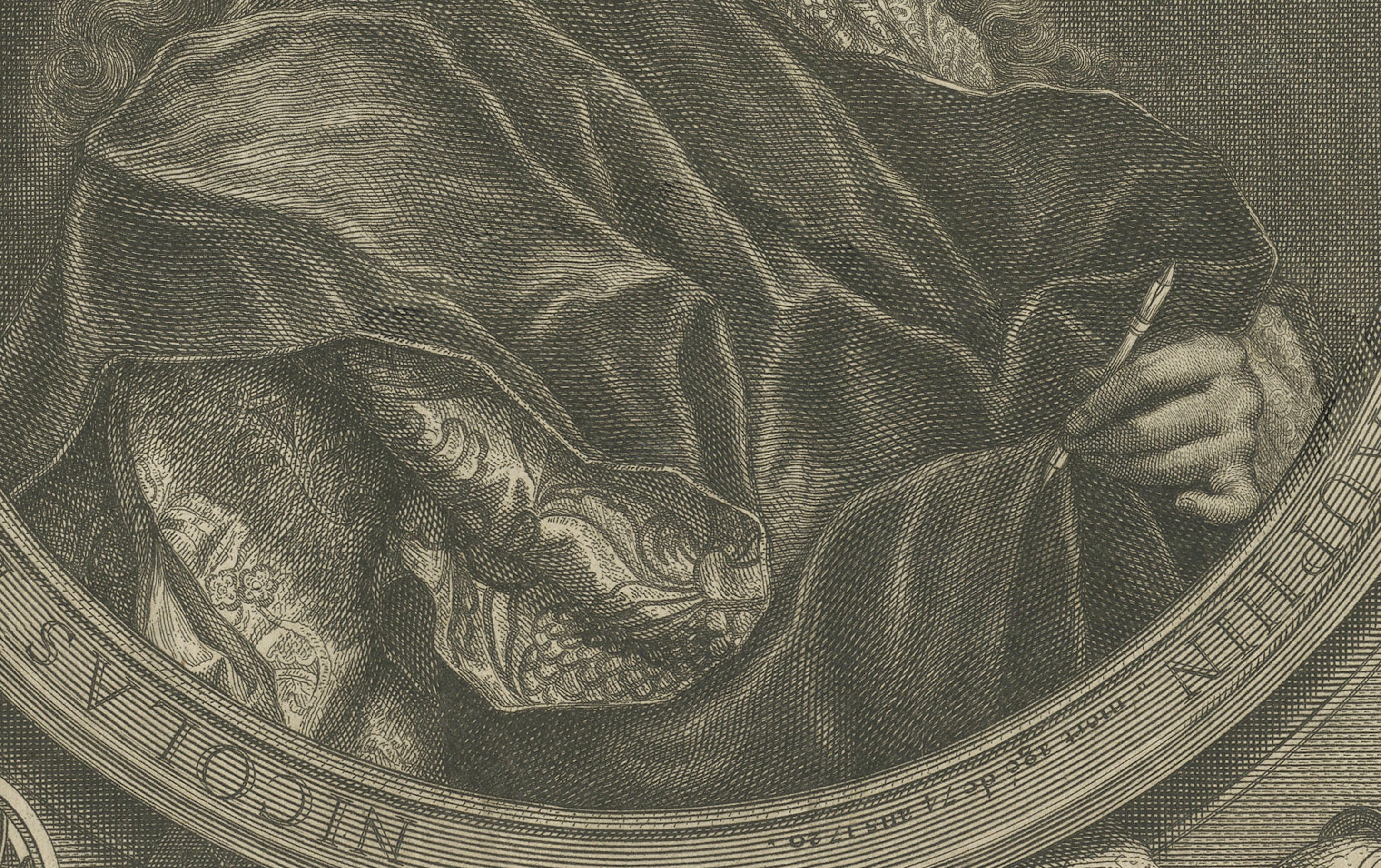
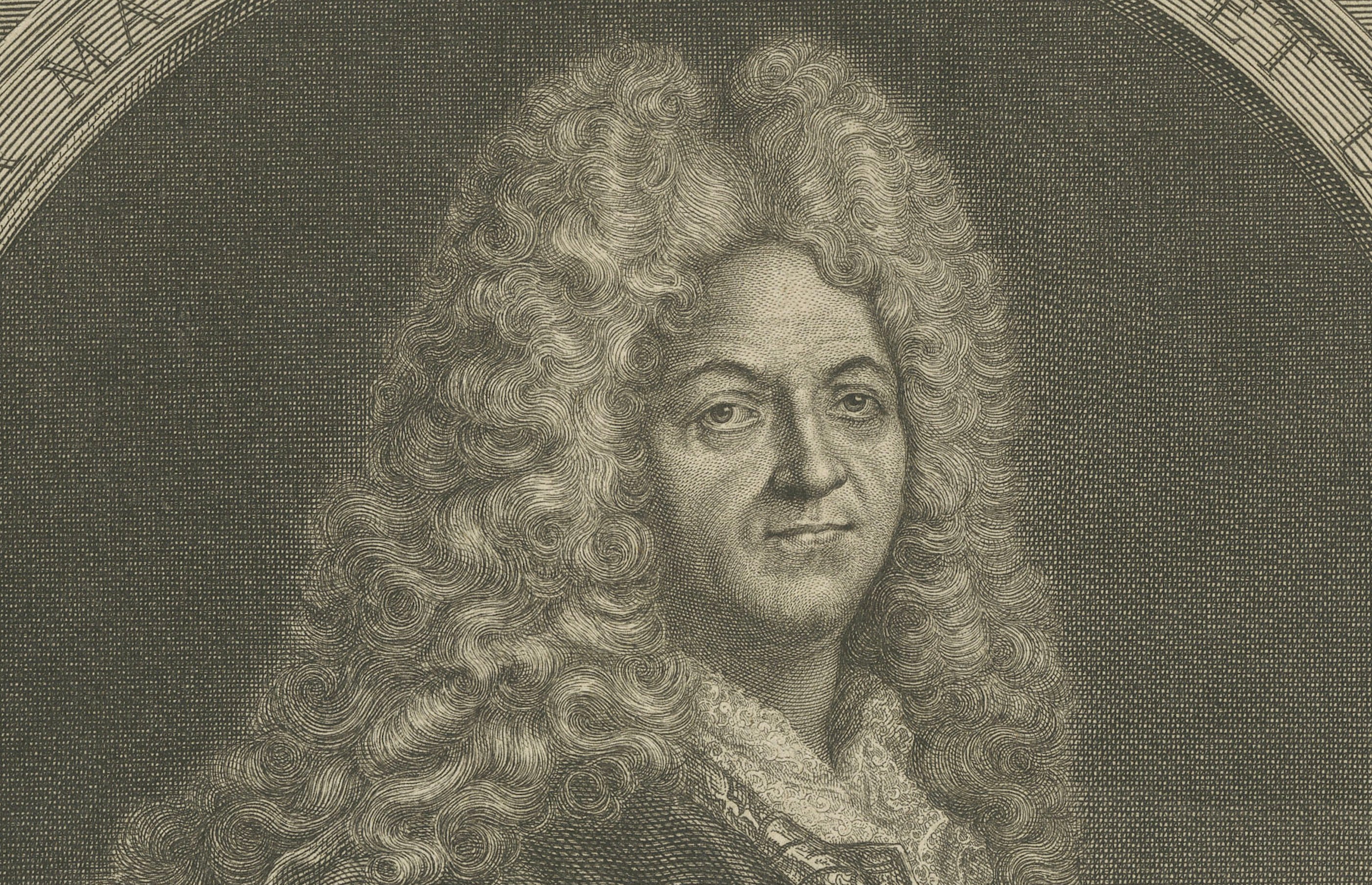
Original 18th-century engraved portrait of Nicolas de Fer (1646–1720), one of the most important and prolific French cartographers and map publishers of his period.
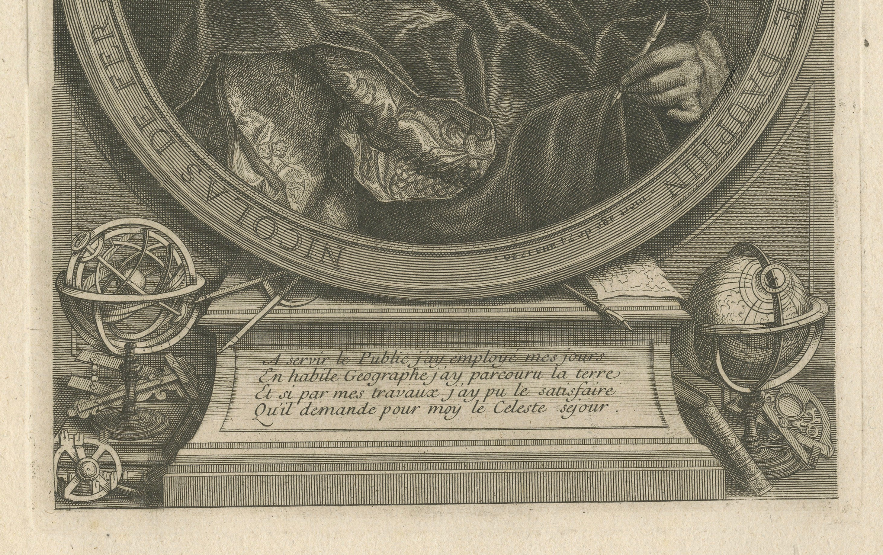
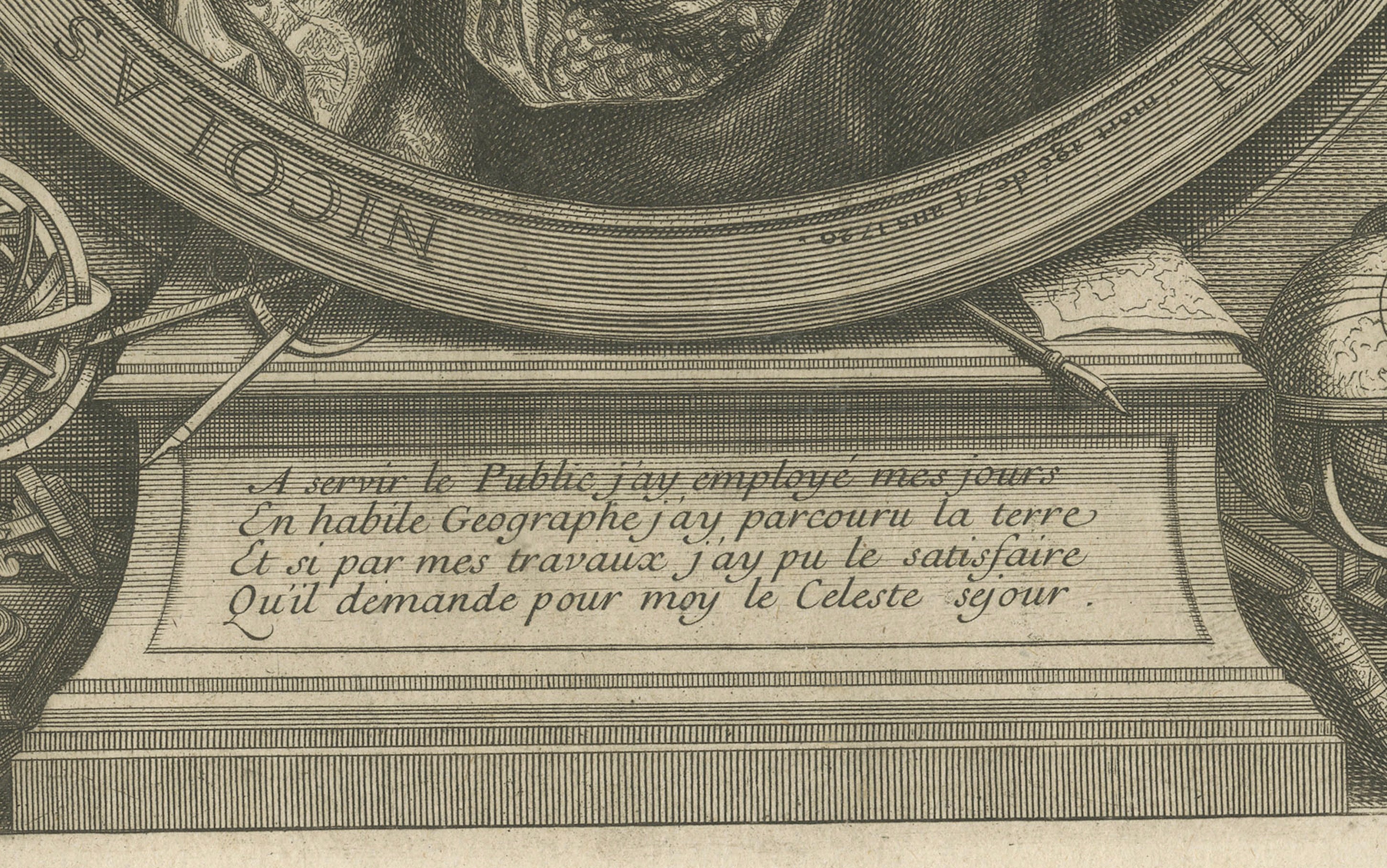
De Fer is portrayed within an elegant oval medallion above a richly detailed arrangement of geographical and scientific instruments, including globes, an armillary sphere, dividers and maps. These attributes directly reference his distinguished career in geography and cartography.
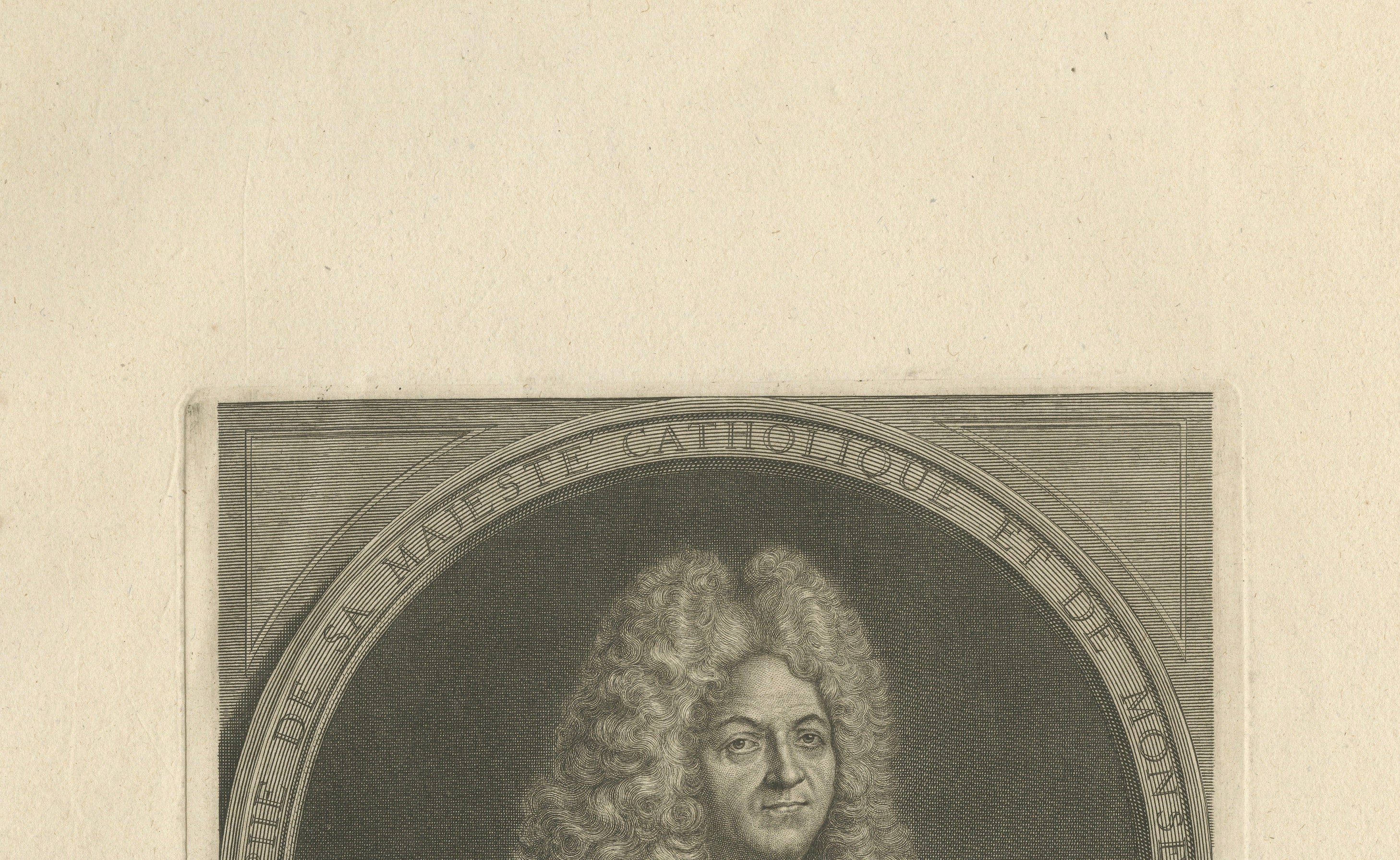
The inscription identifies De Fer as “Géographe de Sa Majesté Catholique et de Monseigneur le Dauphin.” He served as geographer to the French royal family and produced hundreds of maps, atlases and geographical publications during his long career.
This portrait was published in Paris by Jacques-François Bénard in 1743 and was used as a frontispiece to Les Frontières de France et des Pais Bas. Bénard, De Fer's son-in-law and successor, continued the publication and distribution of his cartographic works following De Fer's death.
An especially appealing portrait for collectors of antique maps, cartography and the history of science. This example retains exceptionally broad original margins.
SITTER
Nicolas de Fer (1646–1720)
PUBLISHER
Jacques-François Bénard
DATE
1743
PLACE OF PUBLICATION
Paris, France
PUBLICATION
Les Frontières de France et des Pais Bas
MEDIUM
Original line engraving on paper
PERIOD / STYLE
French Baroque
Early 18th century
SUBJECT
Nicolas de Fer
Cartography
Geography
Antique maps
History of science
French Royal Court
CONDITION:
Good antique condition. The sheet shows age-related toning, scattered light foxing and spotting, old creases and some wear and irregularity along the outer edges, particularly at the lower margin.
The engraved portrait itself remains well preserved with a strong impression and finely defined detail. The exceptionally broad margins are largely intact.
Please examine the photographs carefully as they form an integral part of the condition description.
FRAMING:
Offered unframed. Any framed or interior photographs shown are for presentation and inspiration only.
AUTHENTICITY:
Original antique 18th-century engraving published in Paris in 1743. This is not a modern reproduction.
KEYWORDS:
Nicolas de Fer, French cartographer, royal cartographer, geographer, antique mapmaker, cartography, geography, 1743 engraving, French engraving, French Baroque, portrait engraving, cartographer portrait, mapmaker portrait, armillary sphere, celestial globe, antique scientific instruments, history of cartography, history of science, antique maps, Paris, Jacques-François Bénard, Old Master print, 18th century portrait, French history