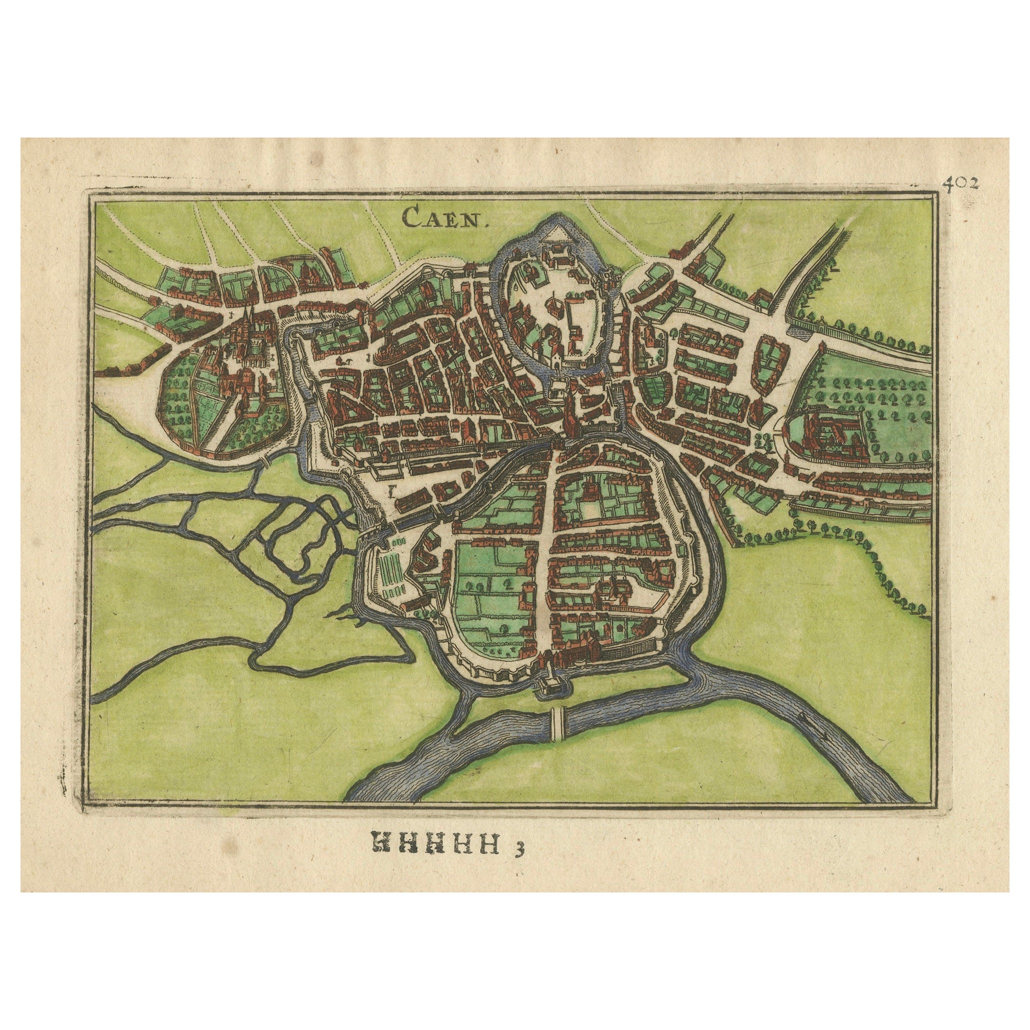
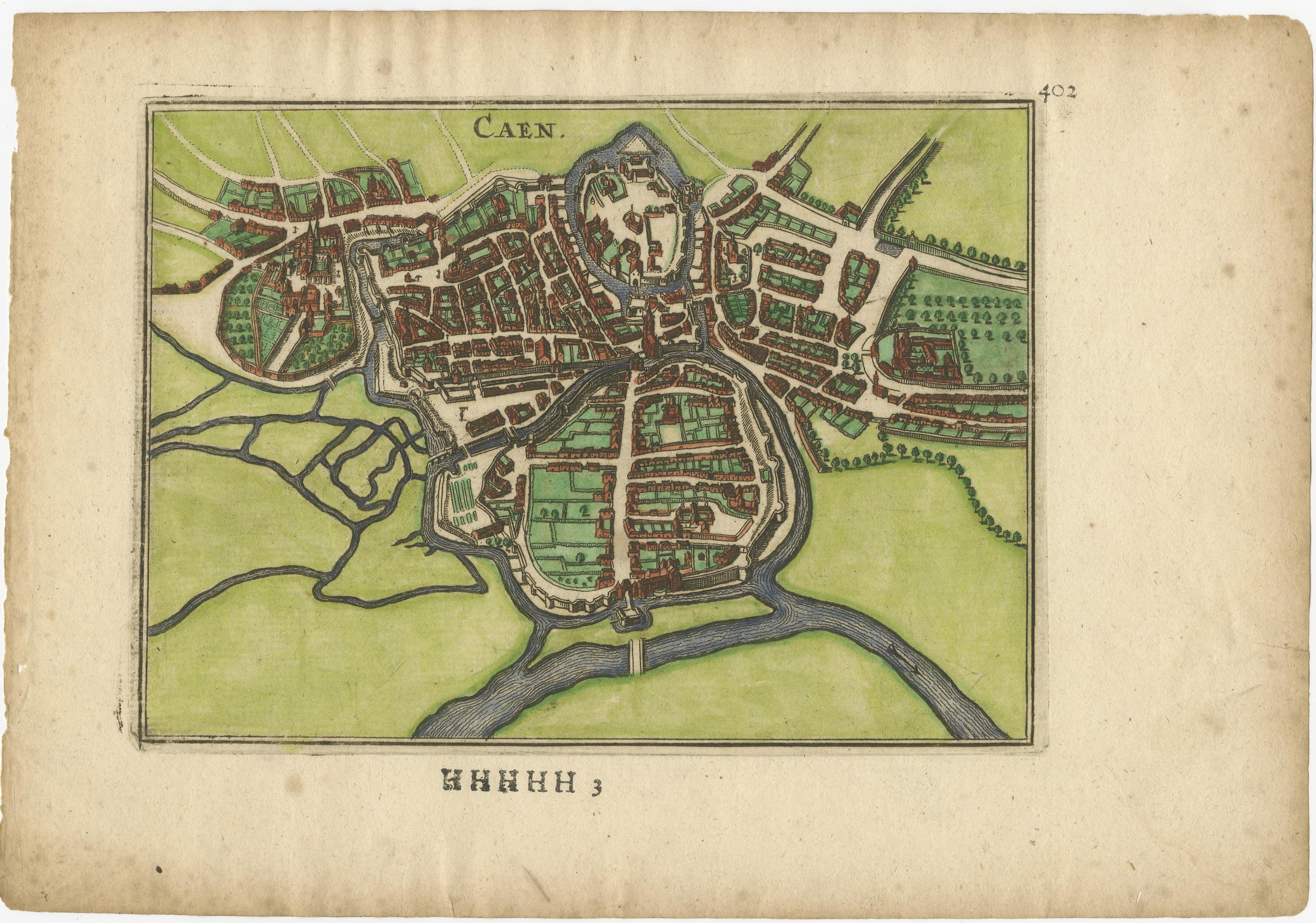
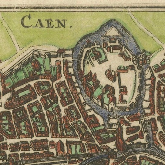
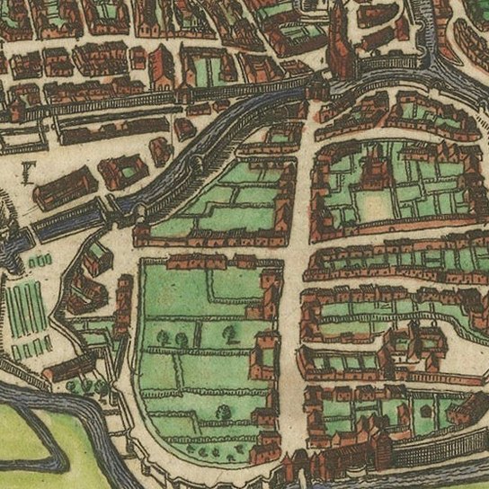
Caen – Antique Hand-Colored Normandy Town Plan Engraving (1666)
€ 380
Original antique · The actual sheet photographed · Certificate of authenticity on request · Sold unframed · Worldwide shipping from € 15 (rates)
Date
1666
Mapmaker / artist
Published in Antwerp for Fransche Merkurius, 1666
Technique
Hand-colored copper engraving
Sheet size
15.4 × 21.9 cm (6.1 × 8.6 in)
Condition
Good
Reference
BG-14168-4
What the condition grades mean
Excellent
Bright and clean, with no faults worth mentioning.
Very good
Only light signs of age, such as faint toning.
Good
Normal signs of age for a sheet of this period: toning, some foxing, small marks or neat old repairs.
Fair
Clear faults such as staining, tears or repairs, priced to match.
Every fault we see is written in the condition note, and the whole sheet is shown uncropped in the photos.
Condition
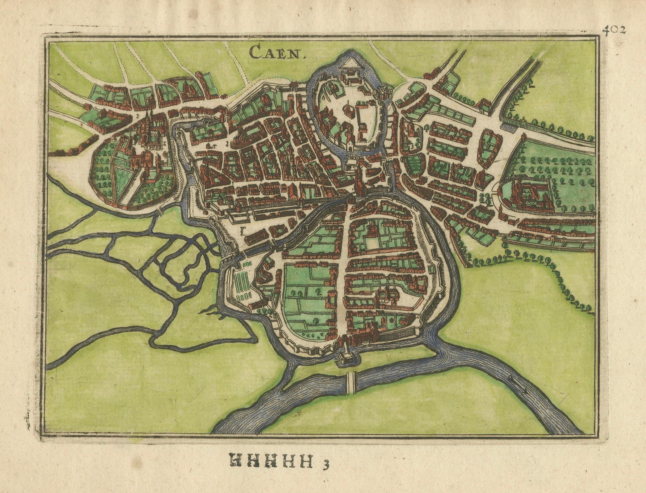
Good condition. Image area clean with bright and well-preserved hand-coloring. Noticeable foxing and toning in the blank margins, typical for 17th-century laid paper. No tears, losses or repairs affecting the printed image. Plate impression clear.
About this sheet
Caen – Antique Hand-Colored Normandy Town Plan Engraving (1666)
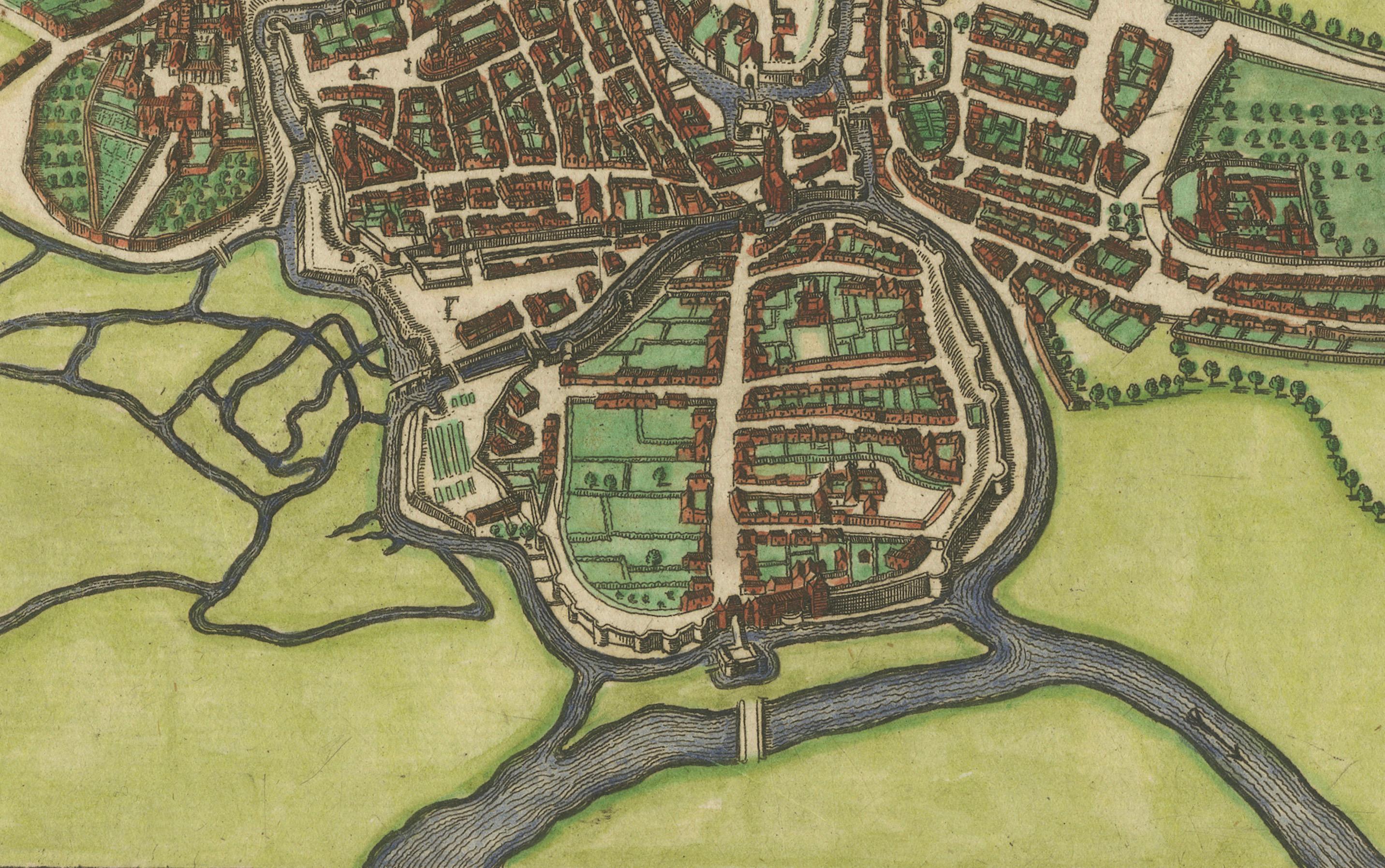
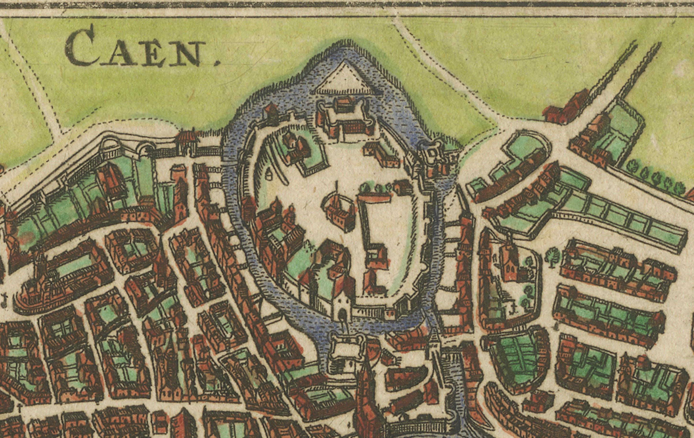
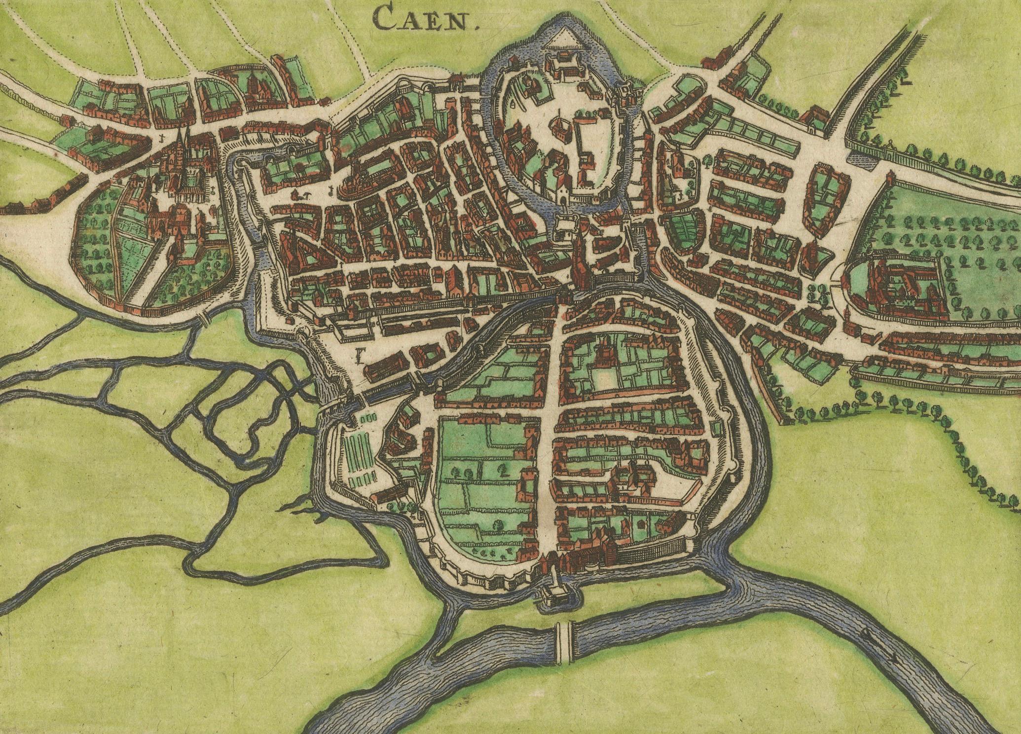
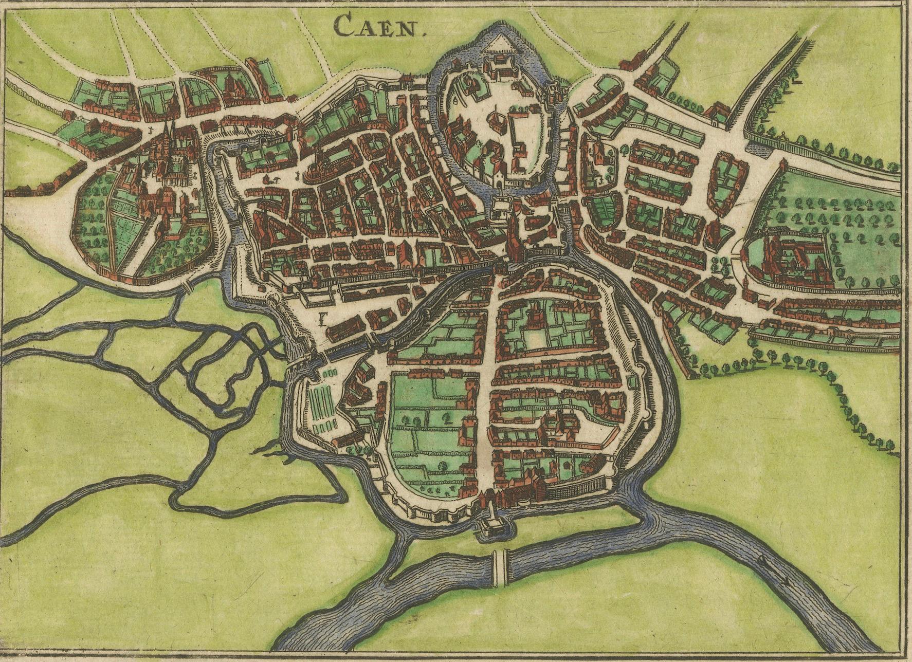
This 17th-century copper engraving offers a finely detailed early plan of Caen, published in Antwerp in 1666 for the atlas associated with the Fransche Merkurius. Shown from an elevated bird’s-eye perspective, the engraving captures Caen’s historical center with its fortified walls, winding streets, river network, bridges, gardens and surrounding agricultural lands. The engraving retains its period hand-coloring in harmonious shades of red, green and blue, enhancing the clarity of the town layout and giving the piece strong decorative character.
Small-format town plans from the Fransche Merkurius are sought after for their crisp, uncomplicated engraving style and their value as early visual records of French urban centers. Caen—one of the most important cities of Normandy—appears here in its 17th-century form, with the Abbaye-aux-Hommes, defensive structures and medieval street grid clearly represented. The wide margins, strong impression and attractive hand-coloring make this an appealing print for collectors of Normandy, French cartography and early urban history.
Condition report: Good condition. Image area clean with bright and well-preserved hand-coloring. Noticeable foxing and toning in the blank margins, typical for 17th-century laid paper. No tears, losses or repairs affecting the printed image. Plate impression clear and well defined.
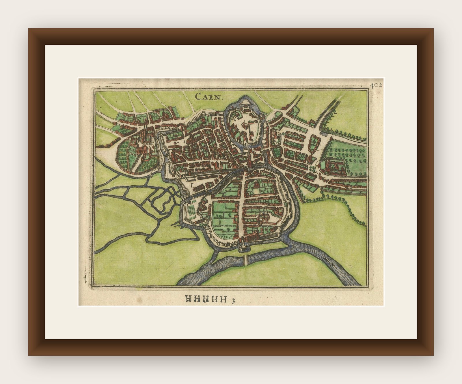
Framing tips: A walnut, oak or light natural wood frame complements the green and red tones of the hand-coloring. A soft ivory or cream mat will reduce the visual impact of the marginal foxing and draw the eye into the central plan. For a contemporary interior, a thin black frame with a wide white mat provides a crisp, modern presentation.