About this sheet
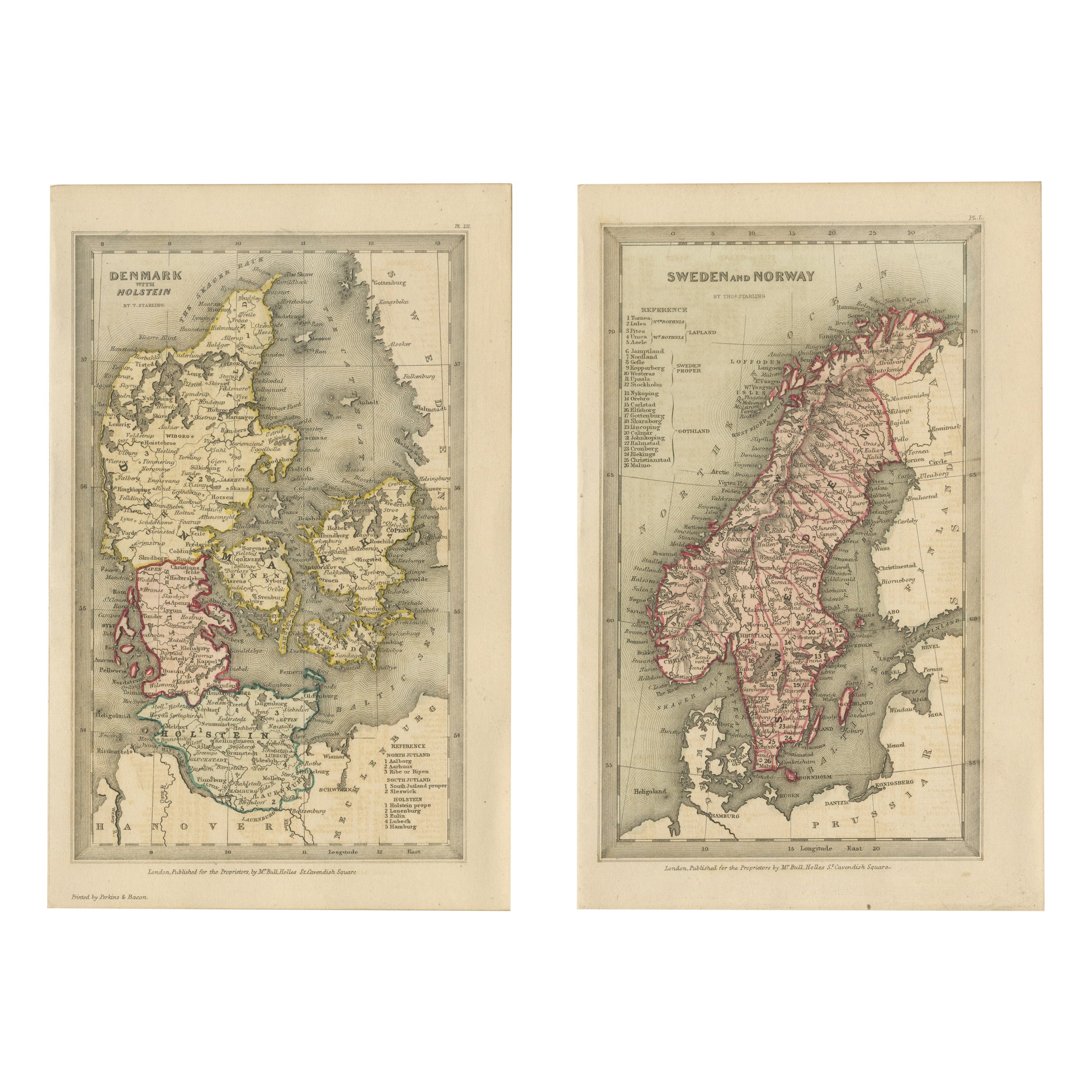
Miniature Antique Maps Scandinavia Set, Denmark & Sweden Norway Hand Colored 1833
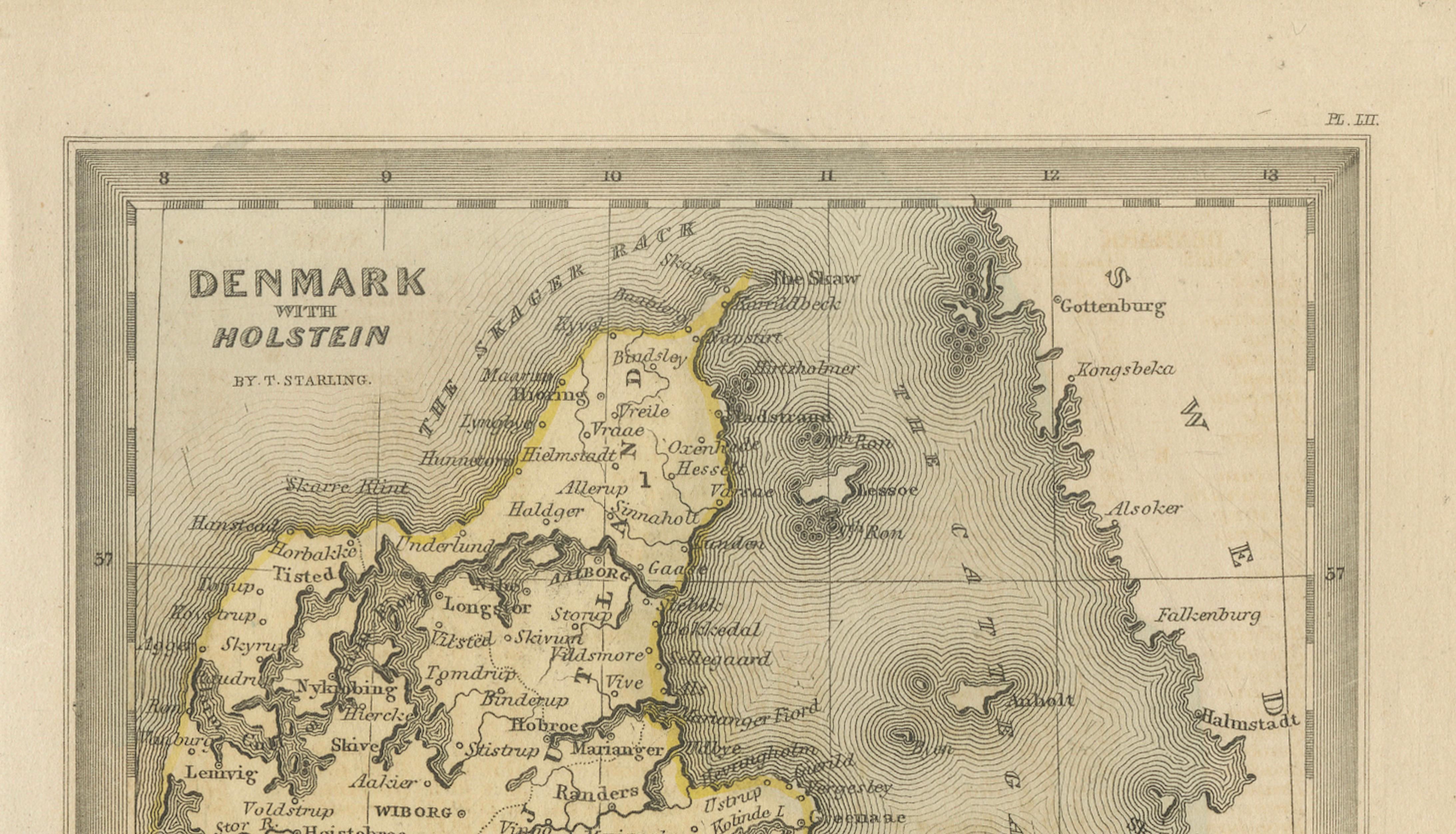
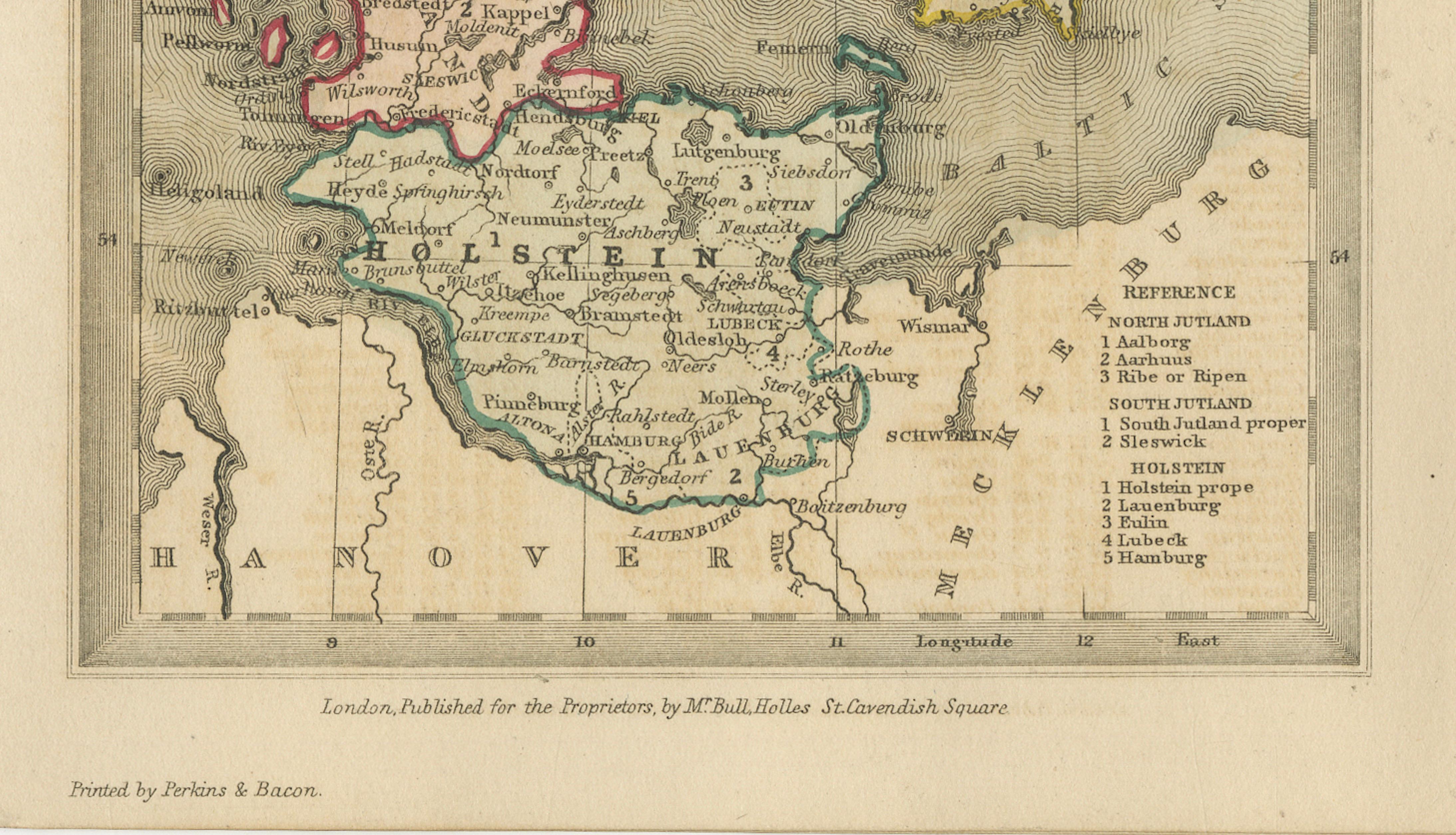
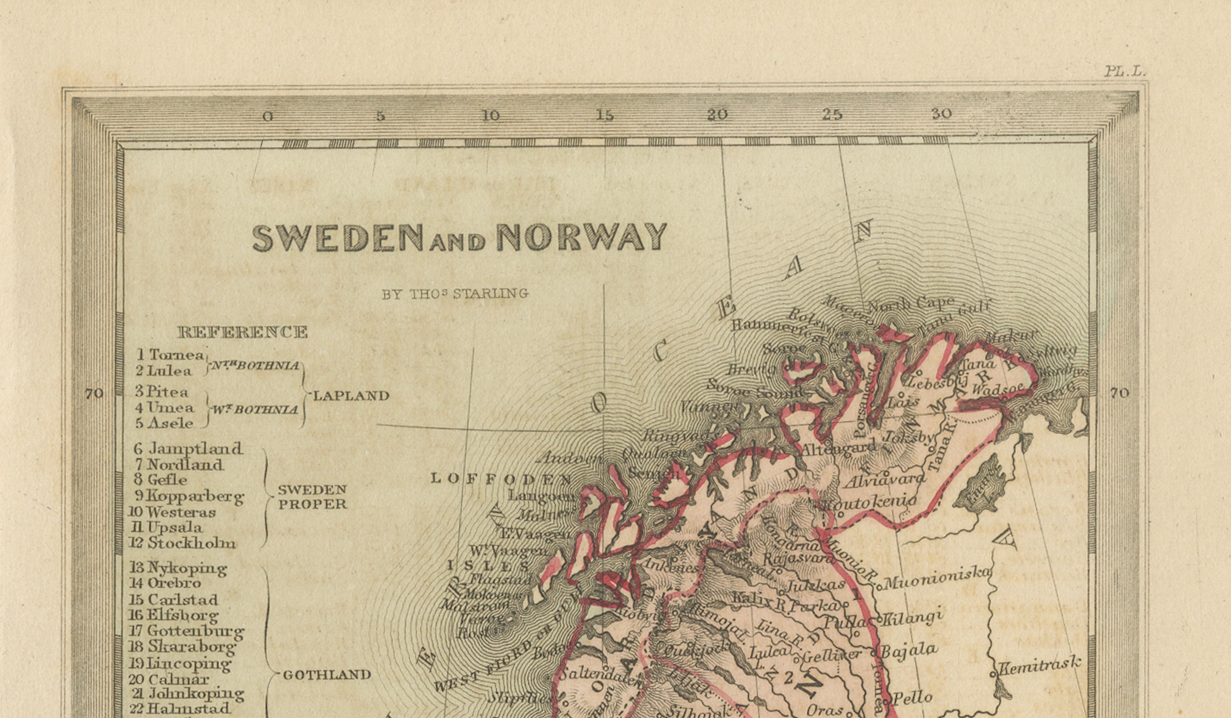
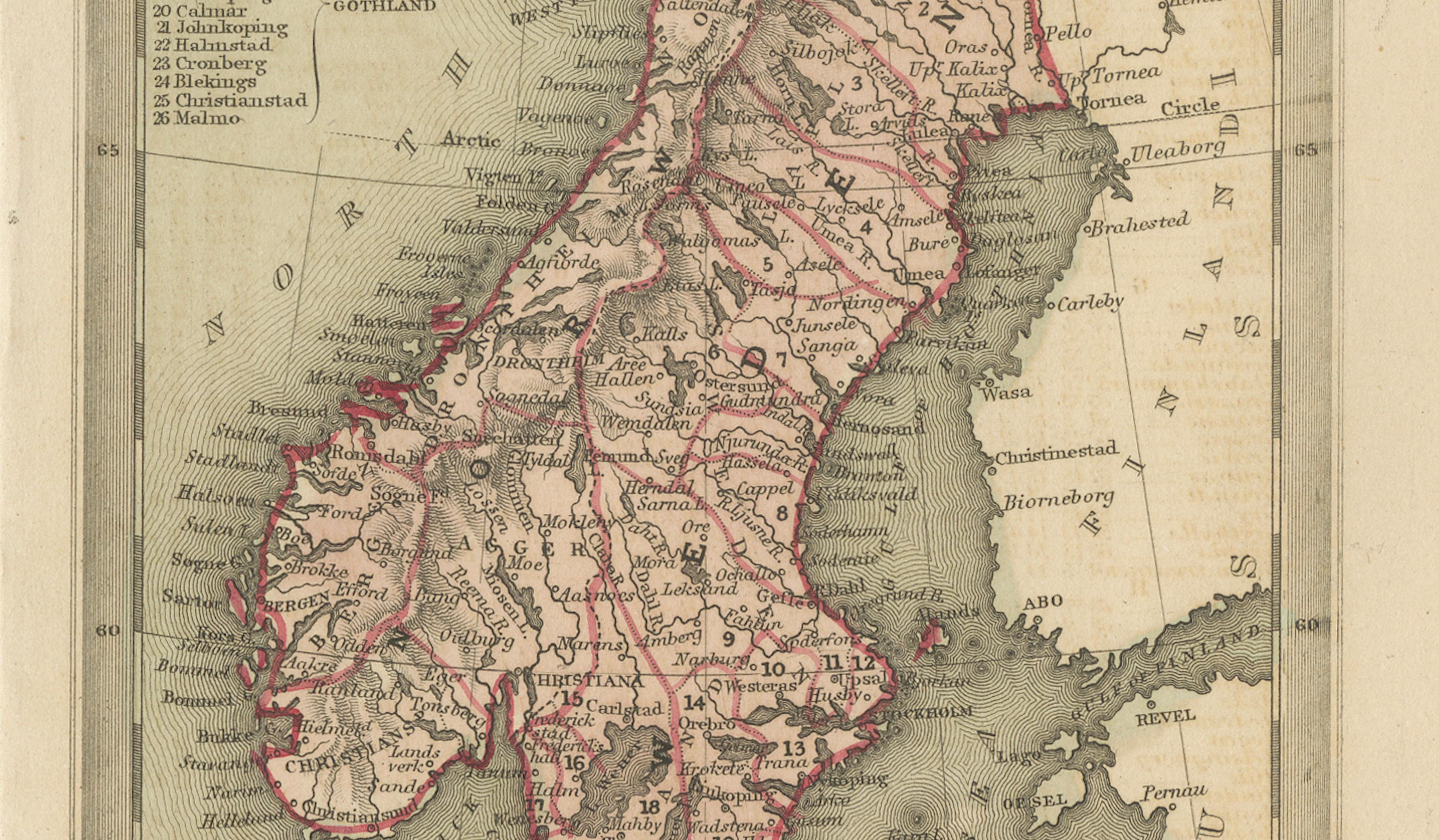
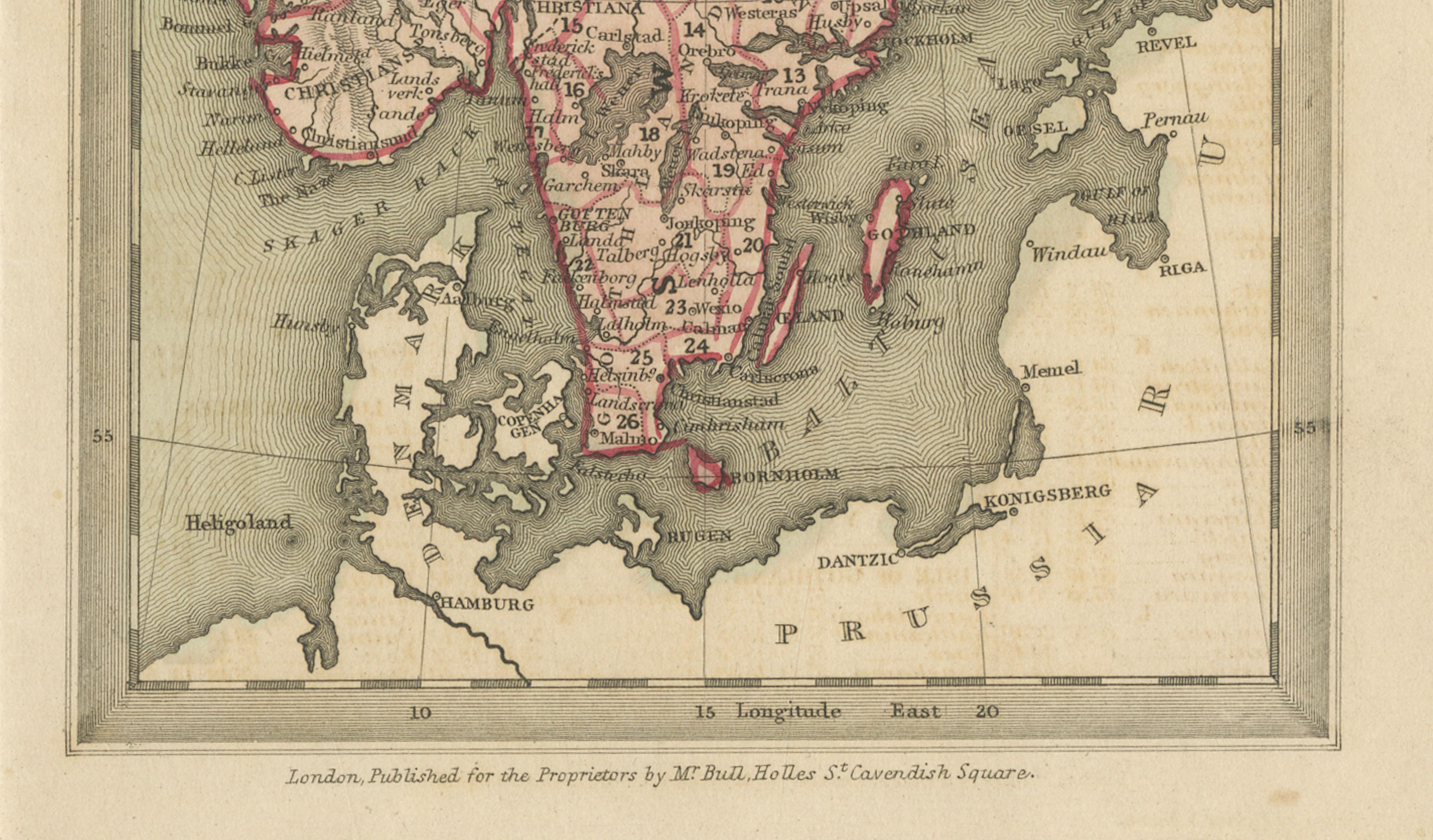
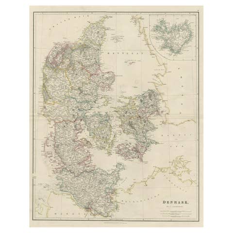
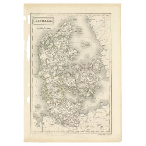
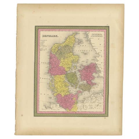
A charming and finely engraved pair of miniature atlas maps depicting Denmark with Holstein and the combined regions of Sweden and Norway, created by Thomas Starling and published in London in 1833 for the Proprietors by Bull, Holles, St. Cavendish Square, and printed by Perkins & Bacon. These attractive small-format maps originate from a British “gift annual,” a popular type of New Year publication in early nineteenth-century Britain, typically combining elegant illustration, refined engraving, and educational geography intended for cultured readers and collectors.
These miniature maps are offered unframed, enabling custom framing to personal or interior preferences.
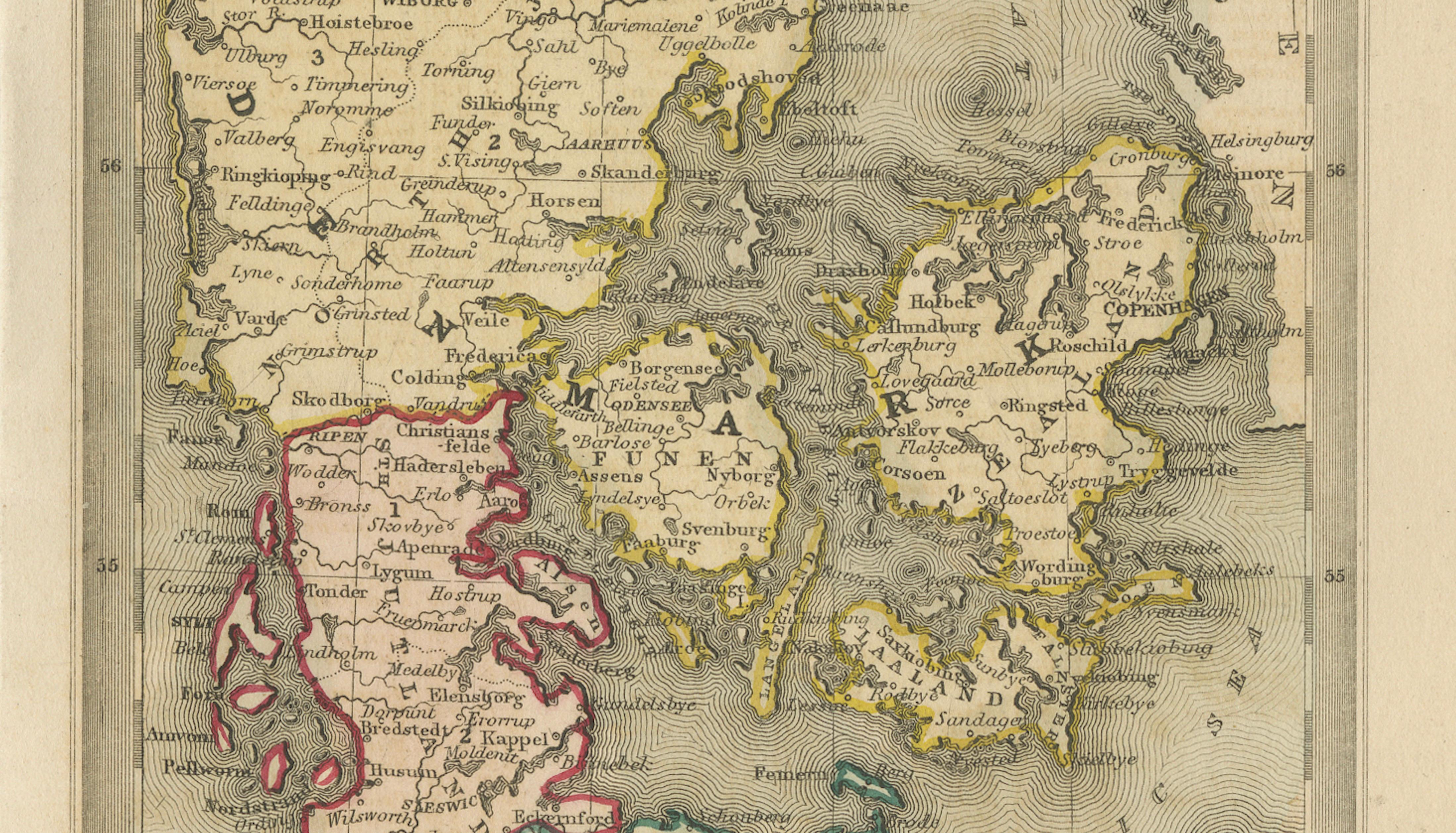
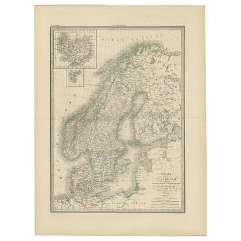
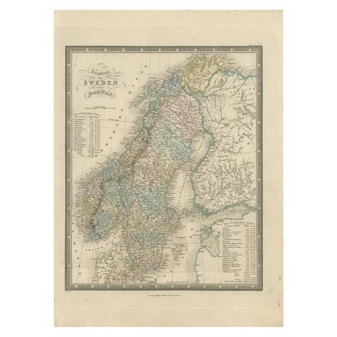
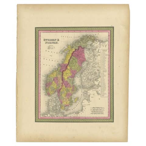
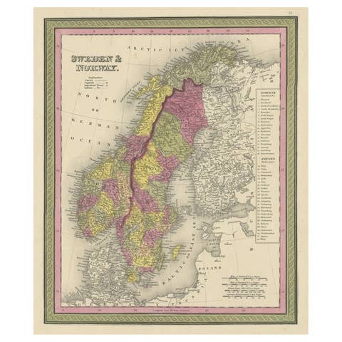
Executed as hand-colored steel engravings, both maps demonstrate the precision and clarity associated with early Victorian cartographic aesthetics. Regions are clearly distinguished through delicate period hand coloring, emphasizing political and geographic divisions across Scandinavia and the Danish territories. Denmark is shown including Holstein, reflecting the historical political realities of the early nineteenth century when the Danish crown still held territories south of the Jutland peninsula. The Sweden and Norway map similarly reflects the political union between the two kingdoms during this period (1814–1905), adding historical significance beyond its decorative appeal.
Fine engraved contour lines indicate landforms and coastal relief, while rivers, lakes, and major settlements are carefully labeled, offering both visual elegance and functional geographic detail. The crisp typography, balanced composition, and subtle color palette exemplify the refined miniature atlas style that appealed to nineteenth-century audiences seeking both educational and decorative objects. The steel engraving technique allowed for sharper lines and greater durability than earlier copperplate engravings, resulting in the precise detailing visible throughout the maps.
Miniature maps from gift annual atlases have become increasingly sought after by collectors and interior designers alike, appreciated for their manageable scale, aesthetic charm, and suitability for pairing or gallery-wall arrangements. This matching Scandinavian set works particularly well as a decorative pair, offering cohesive historical and geographic context while retaining strong visual harmony. Their size and coloring make them ideal for framing with generous mats, enhancing their presence within both traditional and modern interiors.
Condition: Very good condition overall, with attractive original hand coloring. Light age toning consistent with period paper; minor handling wear typical for atlas plates of this age. Clean impressions with strong plate clarity.
Framing tips: These miniature maps display beautifully when framed as a pair using dark walnut or ebonized frames with generous ivory or warm off-white mats to emphasize the delicate engraving lines. Suggested mat margins of approximately 6–8 cm (2.5–3 inches) create a balanced, high-end presentation suitable for designer interiors or gallery-style display.