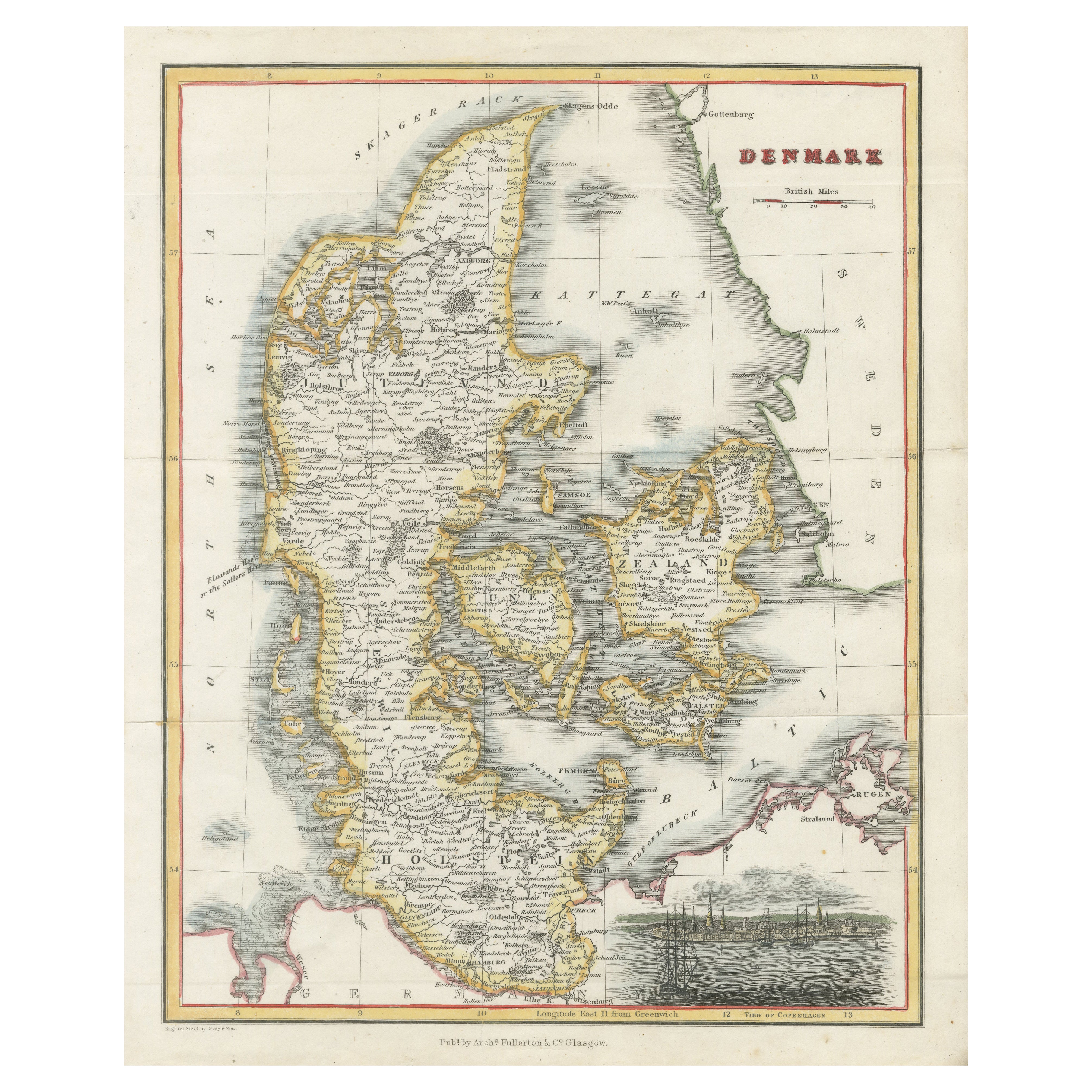
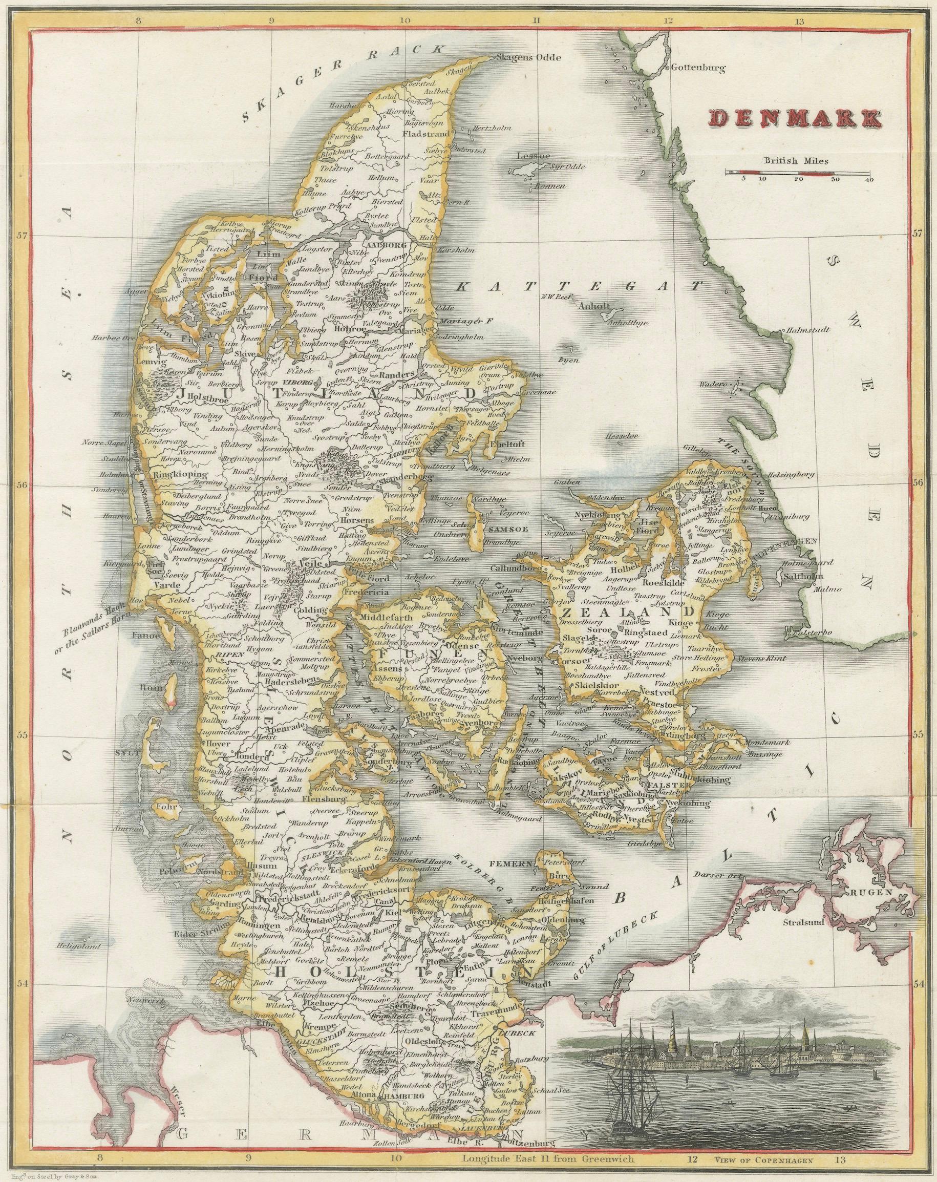
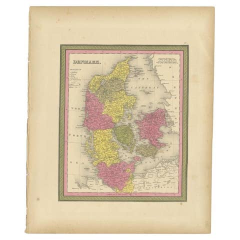
Denmark Antique Map with View of Copenhagen, Hand Colored Steel Engraving c.1850
€ 190
One of a kind: this is the sheet in the photographs. Ships from Langweer, the Netherlands.
Date
1850
Sheet size
27.4 × 22.3 cm (10.8 × 8.8 in)
Condition
Good
Reference
BG-14230-30
Condition
Good overall with attractive original hand coloring. Light age toning and minor handling wear consistent with mid-19th century maps. Central fold lines visible as issued; overall a clean and appealing impression.
About this sheet
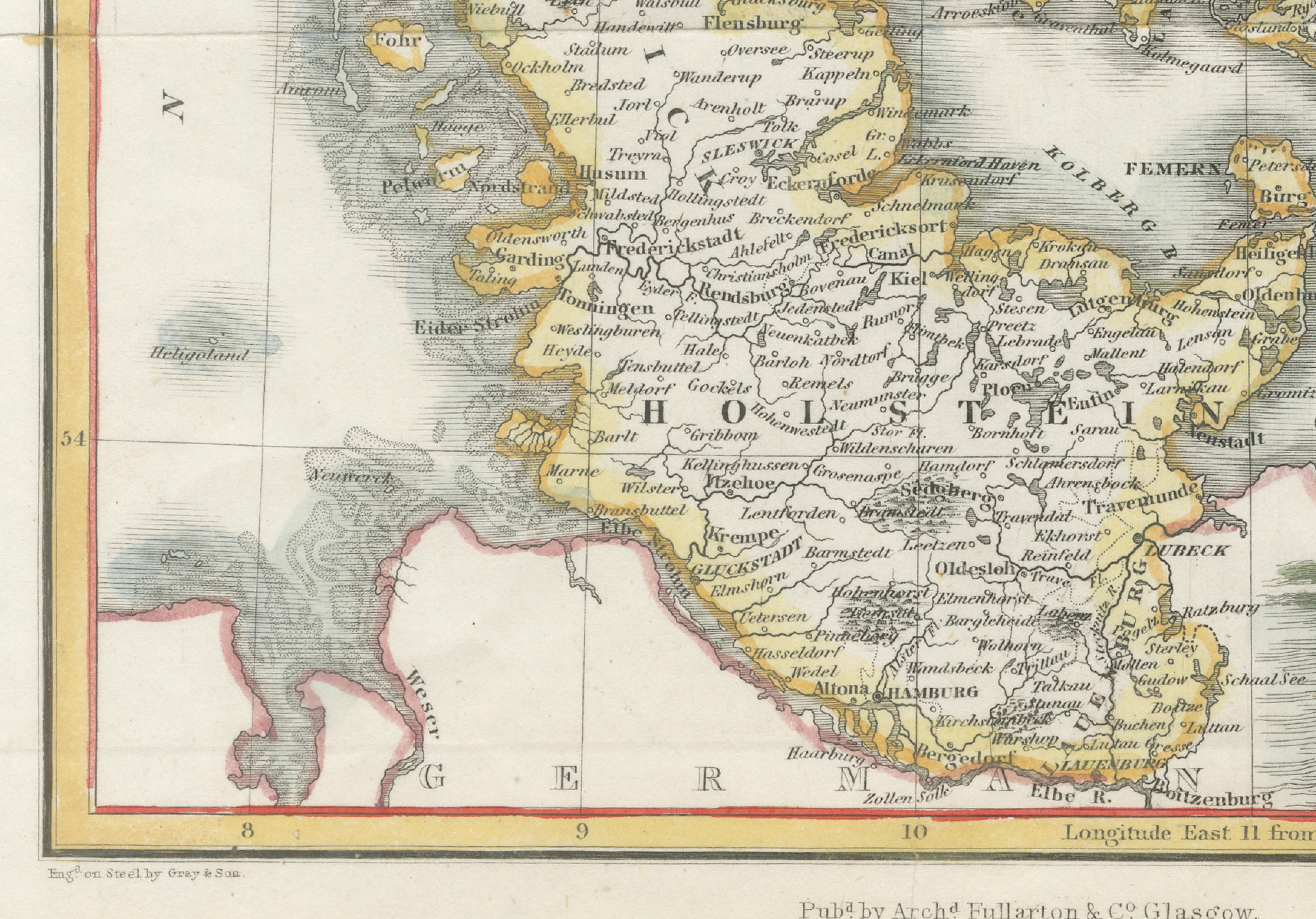
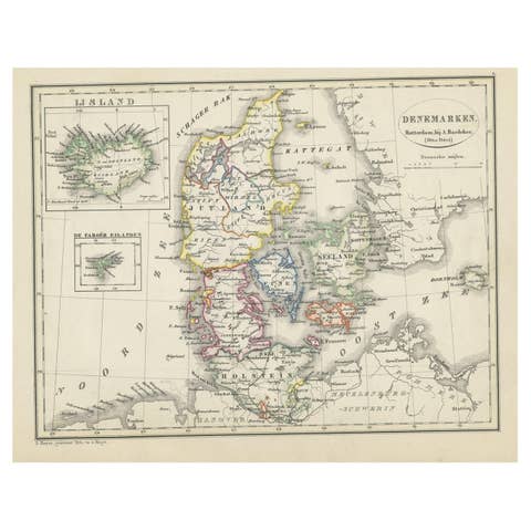
Denmark Antique Map with View of Copenhagen, Hand Colored Steel Engraving c.1850
A finely engraved and attractively hand-colored 19th-century map of Denmark, combining geographic detail with decorative elegance. Published by Archibald Fullarton & Co. of Glasgow, this map reflects the refined cartographic style of mid-Victorian atlas production, blending accurate geographic representation with artistic presentation suitable for both educational and decorative purposes.
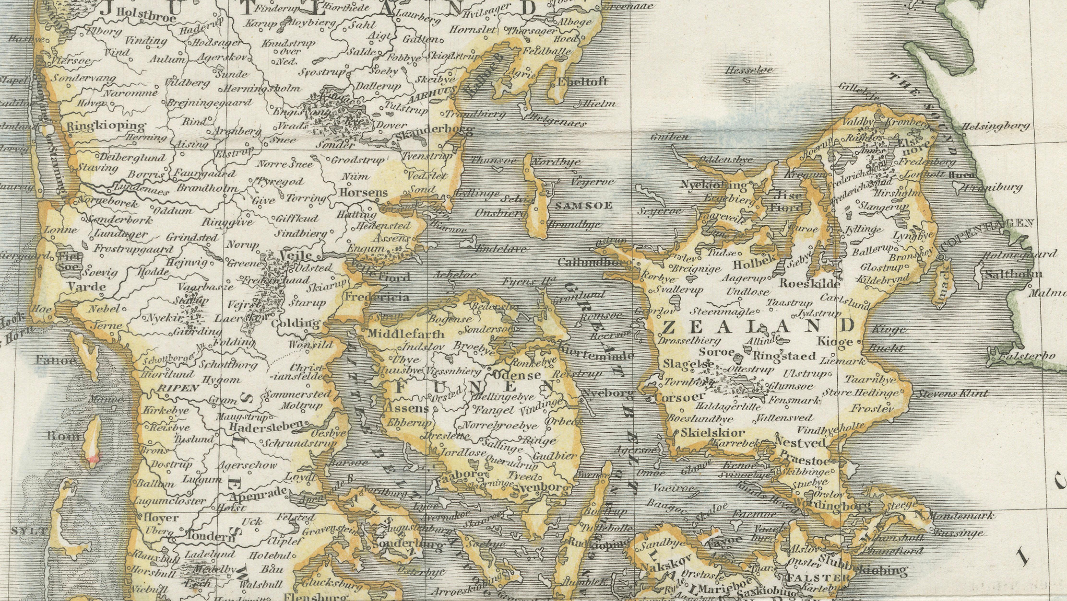
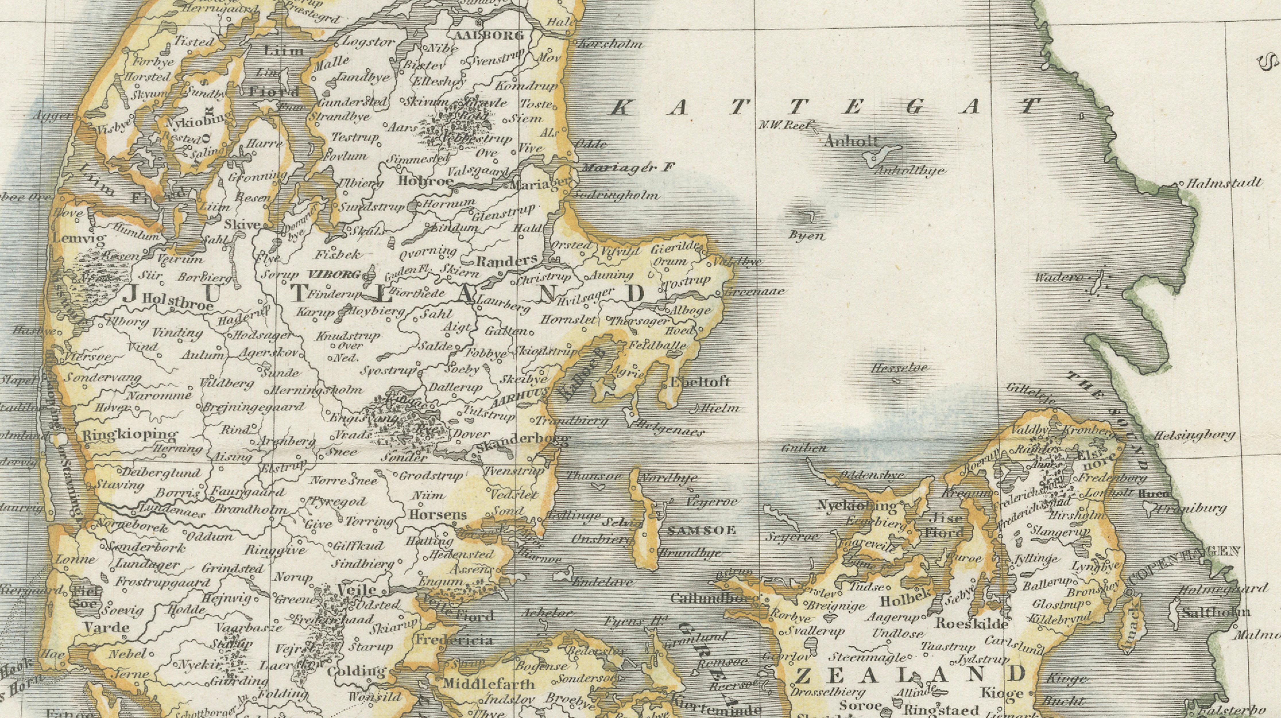
The map shows the Danish peninsula of Jutland together with the principal islands, including Zealand, Funen, Lolland, Falster, and surrounding smaller islands. Coastal contours, towns, waterways, and regional boundaries are clearly engraved, illustrating Denmark’s maritime geography and strategic position between the North Sea and Baltic Sea. The Kattegat and Skagerrak waters are prominently indicated, emphasizing the nation’s historical role in northern European trade and navigation.
A particularly appealing feature is the engraved vignette in the lower right corner depicting a view of Copenhagen harbor, adding visual narrative and decorative balance to the composition. Such pictorial elements were popular in Victorian atlas maps, enhancing their suitability as wall décor while maintaining scholarly accuracy. The delicate hand coloring highlights administrative regions and coastal outlines, creating subtle contrast and visual harmony across the map.
Produced during a period of expanding geographic knowledge and improved steel engraving techniques, the map demonstrates the precision and clarity characteristic of Fullarton’s atlas publications. Steel engraving allowed for fine line detail and durability, resulting in a crisp impression that retains strong visual appeal today.
Condition: Good overall with attractive original hand coloring. Light age toning and minor handling wear consistent with mid-19th century maps. Central fold lines visible as issued; overall a clean and appealing impression.
Framing tips: Particularly effective when framed in dark walnut or black with a generous ivory or warm off-white mat to emphasize the engraving detail. Suggested mat borders of approximately 6–8 cm (2.5–3 inches) enhance the presentation and create a refined gallery appearance.