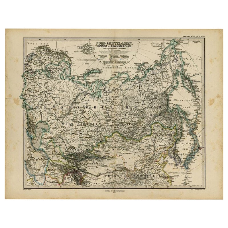
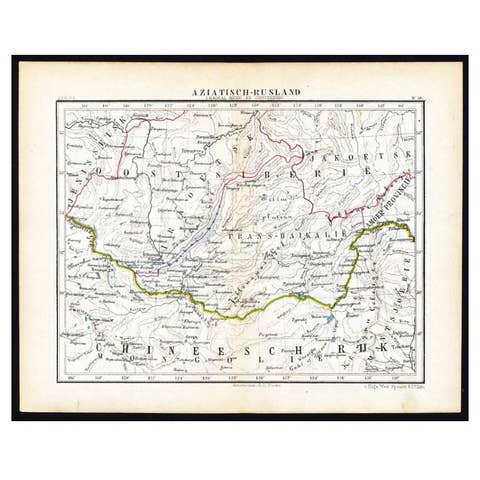
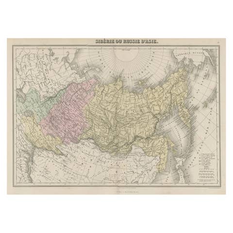
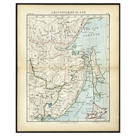
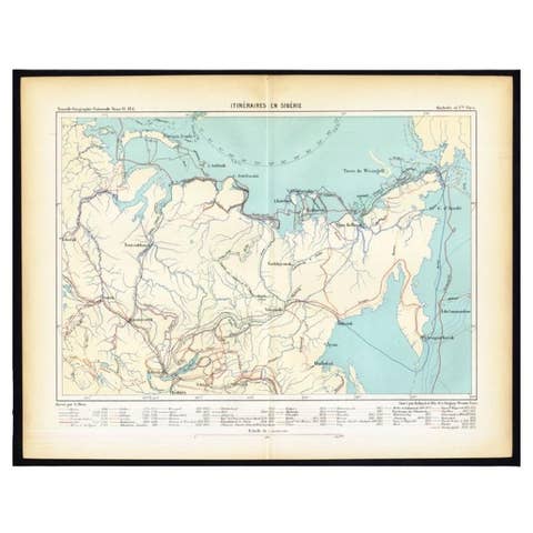
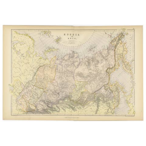
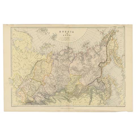
Antique Map of Russia and Surroundings by Stieler, 1874
€ 70
Original antique · The actual sheet photographed · Certificate of authenticity on request · Sold unframed · Worldwide shipping from € 15 (rates)
Date
1874
Mapmaker / artist
Made by 'Kuhn & Kramer' after 'A. Petermann'
Sheet size
38 × 48.5 cm (15.0 × 19.1 in)
Condition
Good
Reference
PCT-56519
What the condition grades mean
Excellent
Bright and clean, with no faults worth mentioning.
Very good
Only light signs of age, such as faint toning.
Good
Normal signs of age for a sheet of this period: toning, some foxing, small marks or neat old repairs.
Fair
Clear faults such as staining, tears or repairs, priced to match.
Every fault we see is written in the condition note, and the whole sheet is shown uncropped in the photos.
Condition
Repaired: A small tear in the left margin (closed with acid-free archival tape). Original middle fold, as issued. Margins quite stained. A few faint stains in the image. Faintly browned around the middle fold. Some small tears in the margin edges.
About this sheet
Antique map titled 'Nord- & Mittal-Asien, Ubersicht des Russischen Reiches.' A map of Russia in scale 1:20.000.000. The depicted area spans from Iran and Sweden in the left edge of the image to the Bering Street and Japan in the right edge of the map.Sheet 59 from 'Stieler's Hand-Atlas' published in Gotha: Justus Perthes, 1874. Artists and Engravers: Made by 'Kuhn & Kramer' after 'A. Petermann'.
Condition: Good, given age. Original middle fold, as issued. Margins quite stained. A few faint stains in the image. Faintly browned around the middle fold. A small tear in the left margin (closed with acid-free archival tape). Some small tears in the margin edges (not affecting image). General age-related toning and/or occasional minor defects from handling. Please study image carefully.
They were the product of engraved, etched or lithographed plates. These plates were handmade out of wood or metal, which required an incredible level of skill, patience and craftsmanship. Whether you have a house with Victorian furniture or more contemporary decor an old engraving can enhance your living space. We offer a wide range of authentic antique prints for any budget.