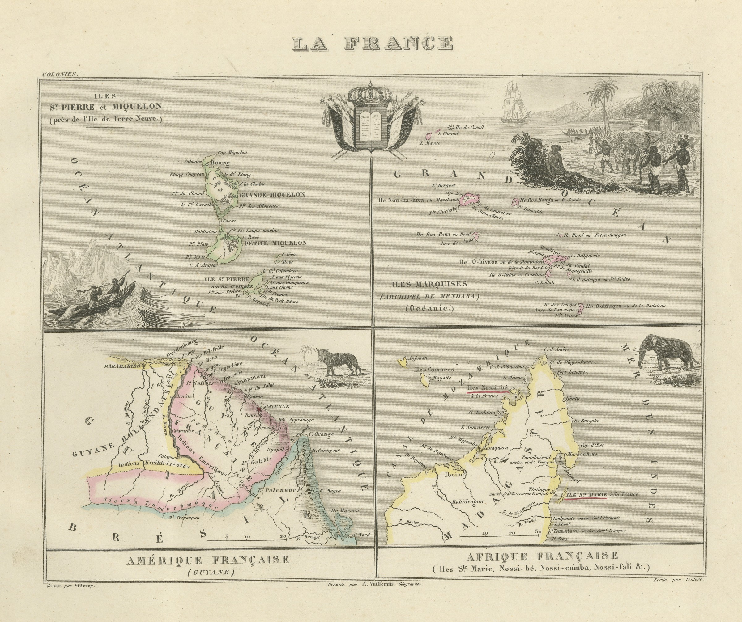
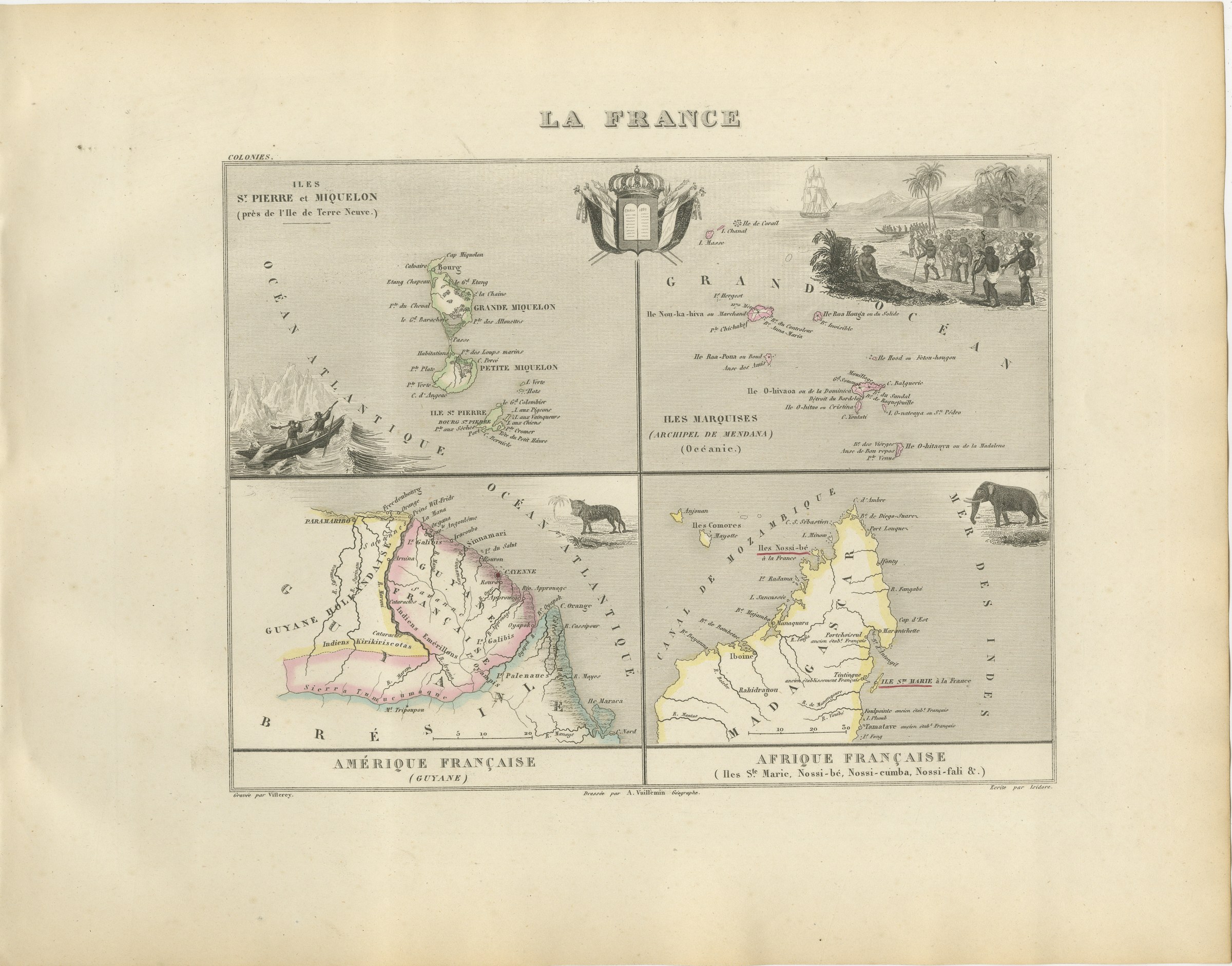
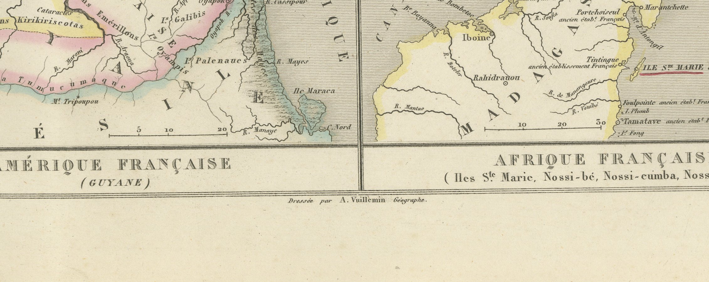
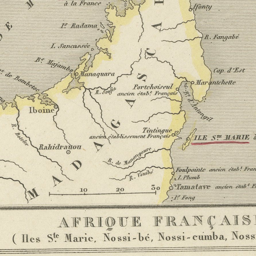
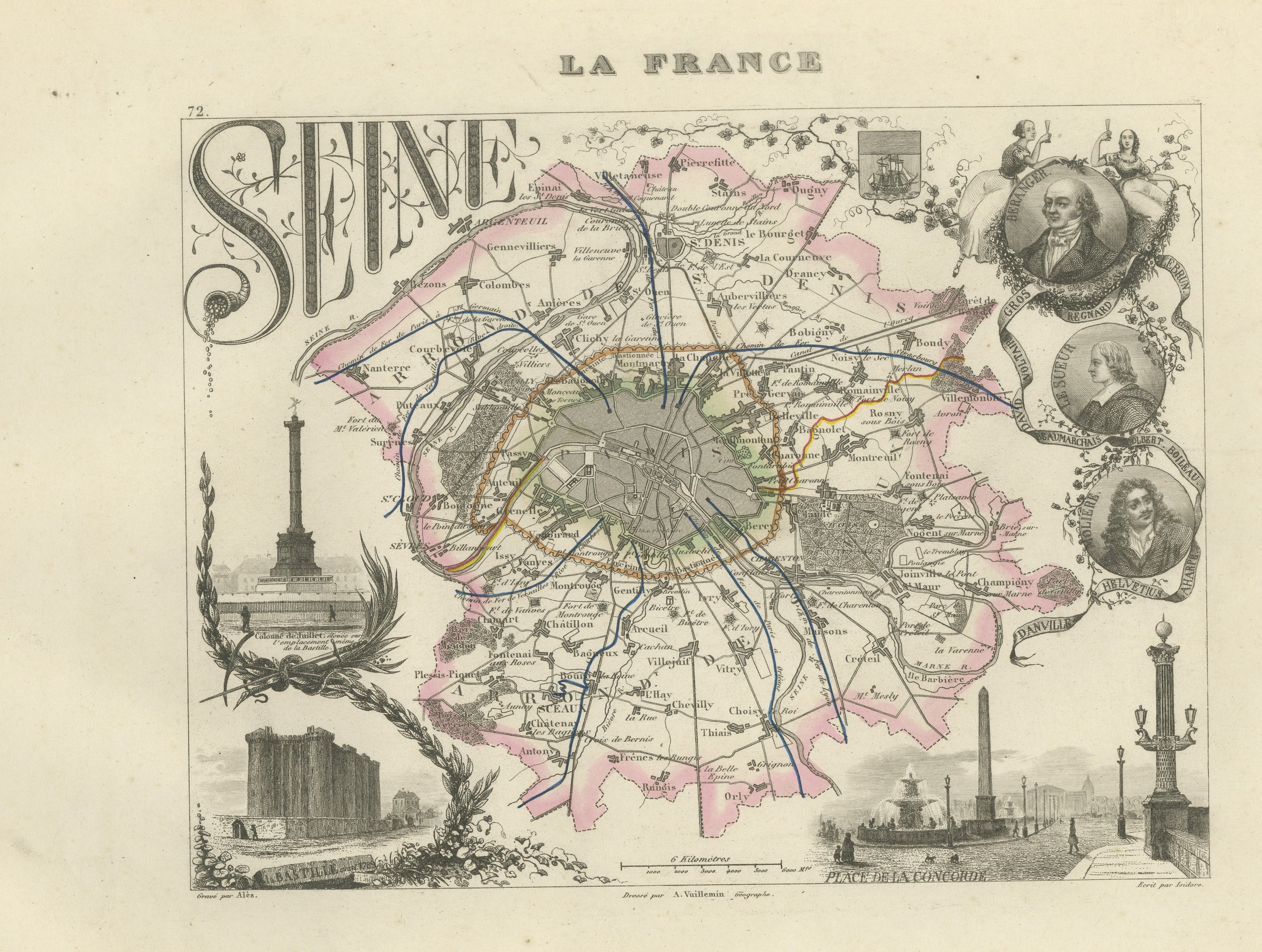
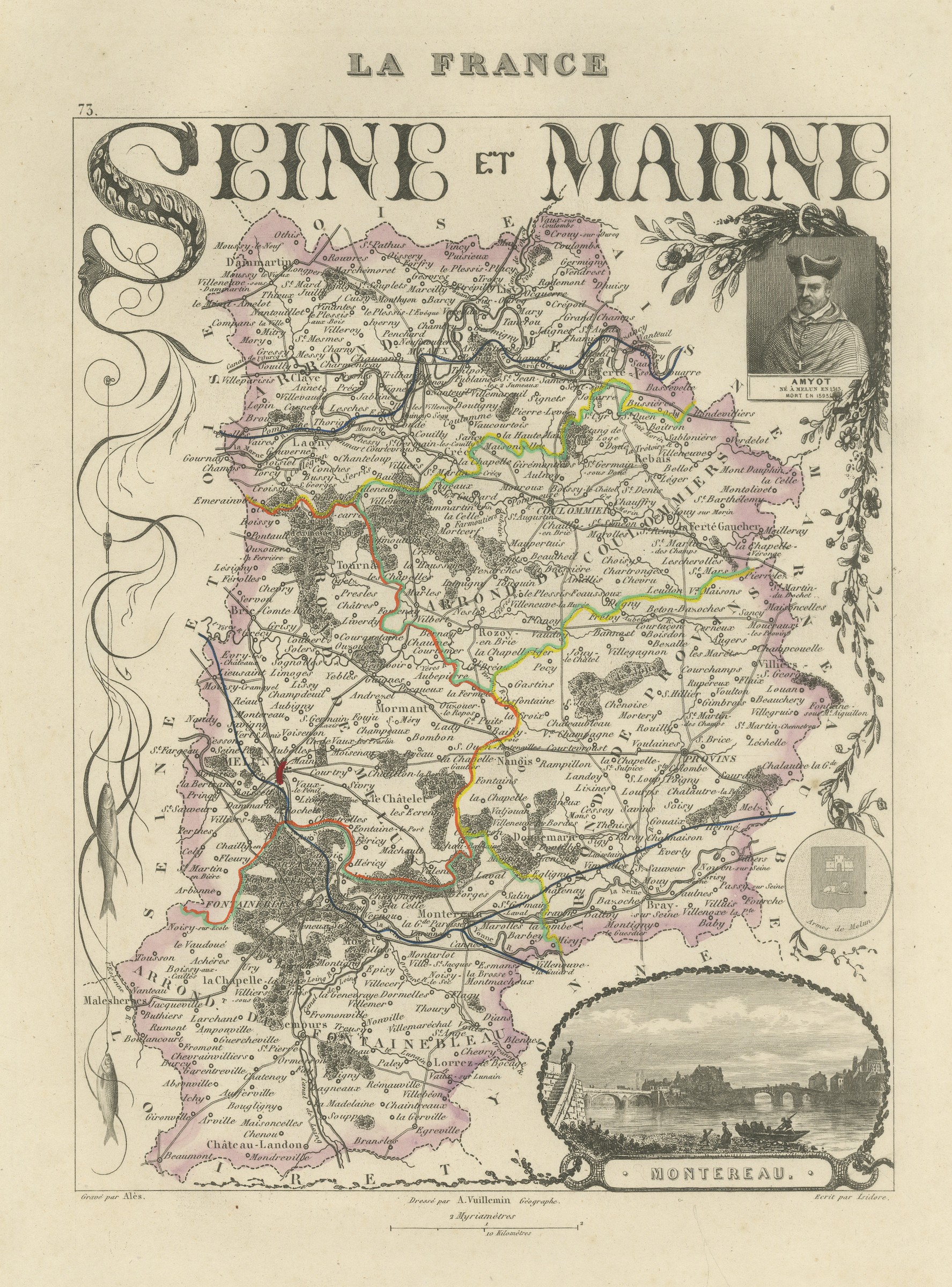
Antique Map of Saint-Pierre, Guiana, the Marquesas and Nosy Be, circa 1860
€ 320
Original antique · The actual sheet photographed · Certificate of authenticity on request · Sold unframed · Worldwide shipping from € 15 (rates)
Date
circa 1860
Mapmaker / artist
A. Vuillemin
Publisher
Migeon, Paris
Technique
Steel Engraving
Colouring
Original hand colour
Condition
Good
Reference
BG-13331-94
Condition
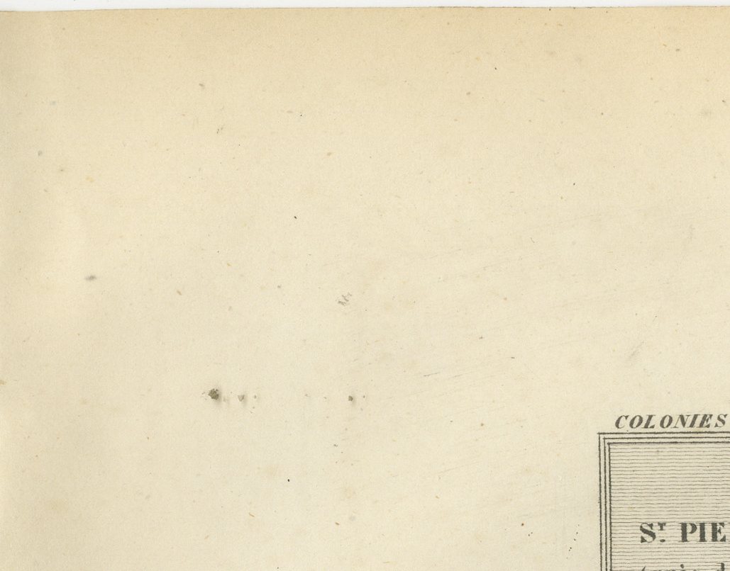
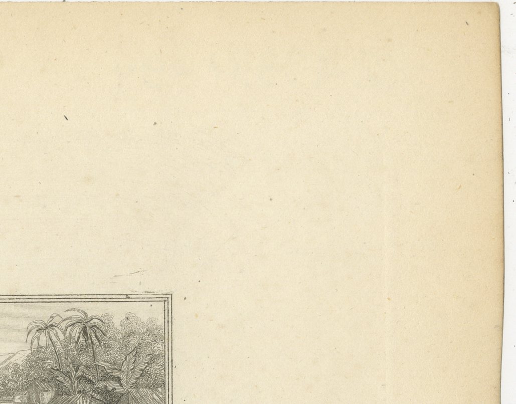
Good condition for its age. Light toning; scattered foxing to the margins with a small cluster of spots in the lower margin, clear of the image. Please review the images for further condition details.
About this sheet
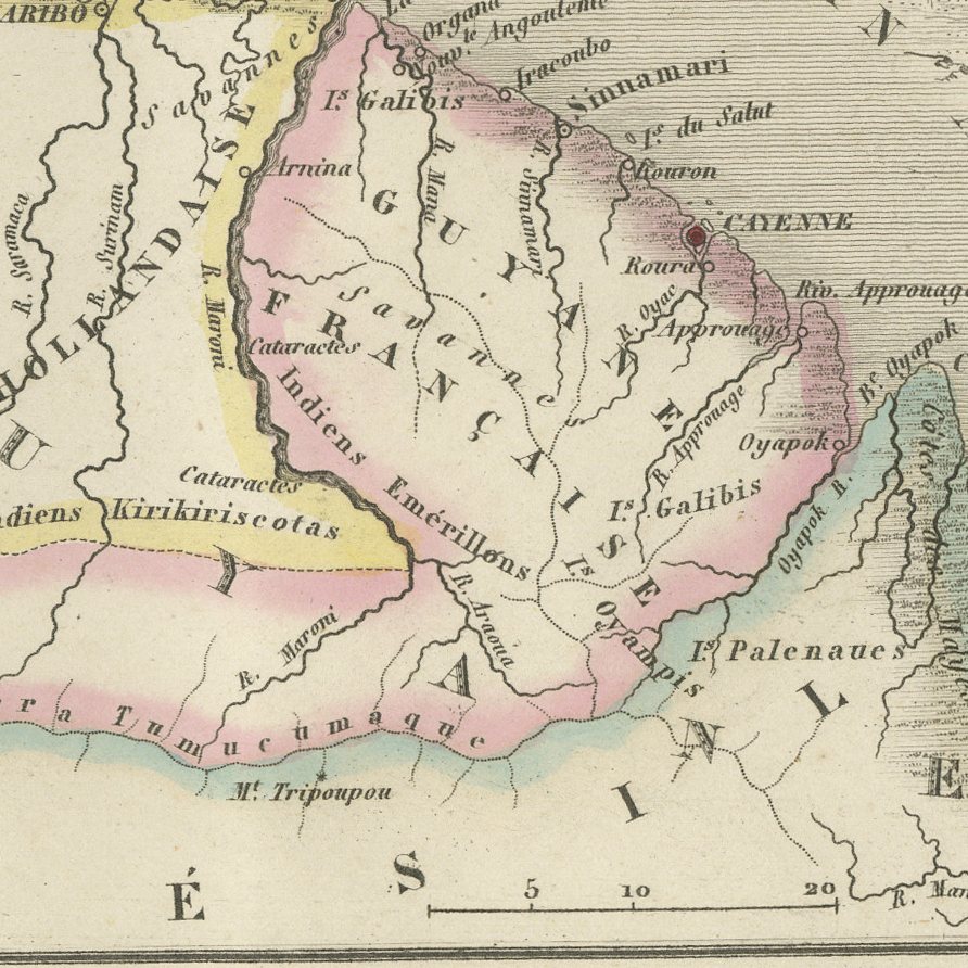
A single plate carrying four of the smaller French possessions, each mapped separately: Saint-Pierre and Miquelon off Newfoundland, with the Grande and the Petite Miquelon; French Guiana, with Cayenne, the Approuague and the Oyapock and the Indian territories inland; the Marquesas, named on the sheet as the archipelago of Mendana, in Oceania; and the French islands off Madagascar, Sainte-Marie, Nossi-be, Nossi-cumba and Nossi-fali. Four colonies on one sheet is unusual and makes the plate a convenient single purchase for a collector of any one of them. The Marquesas panel in particular is hard to find in any nineteenth century atlas, and the Saint-Pierre map still has a market in Atlantic Canada.
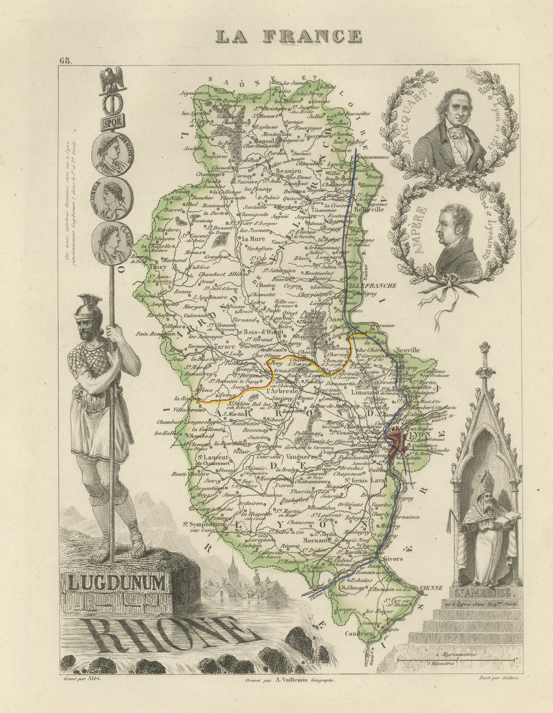
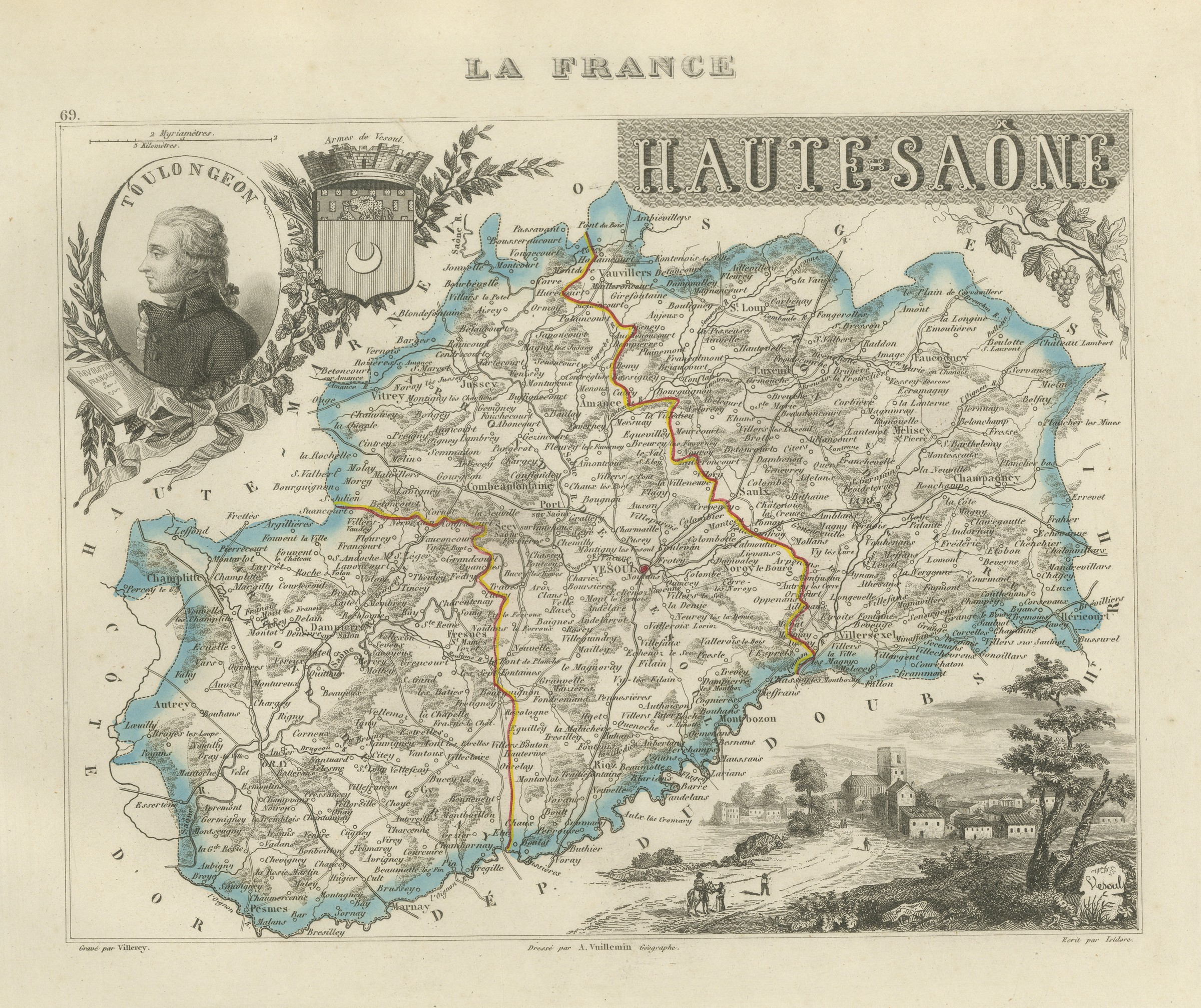
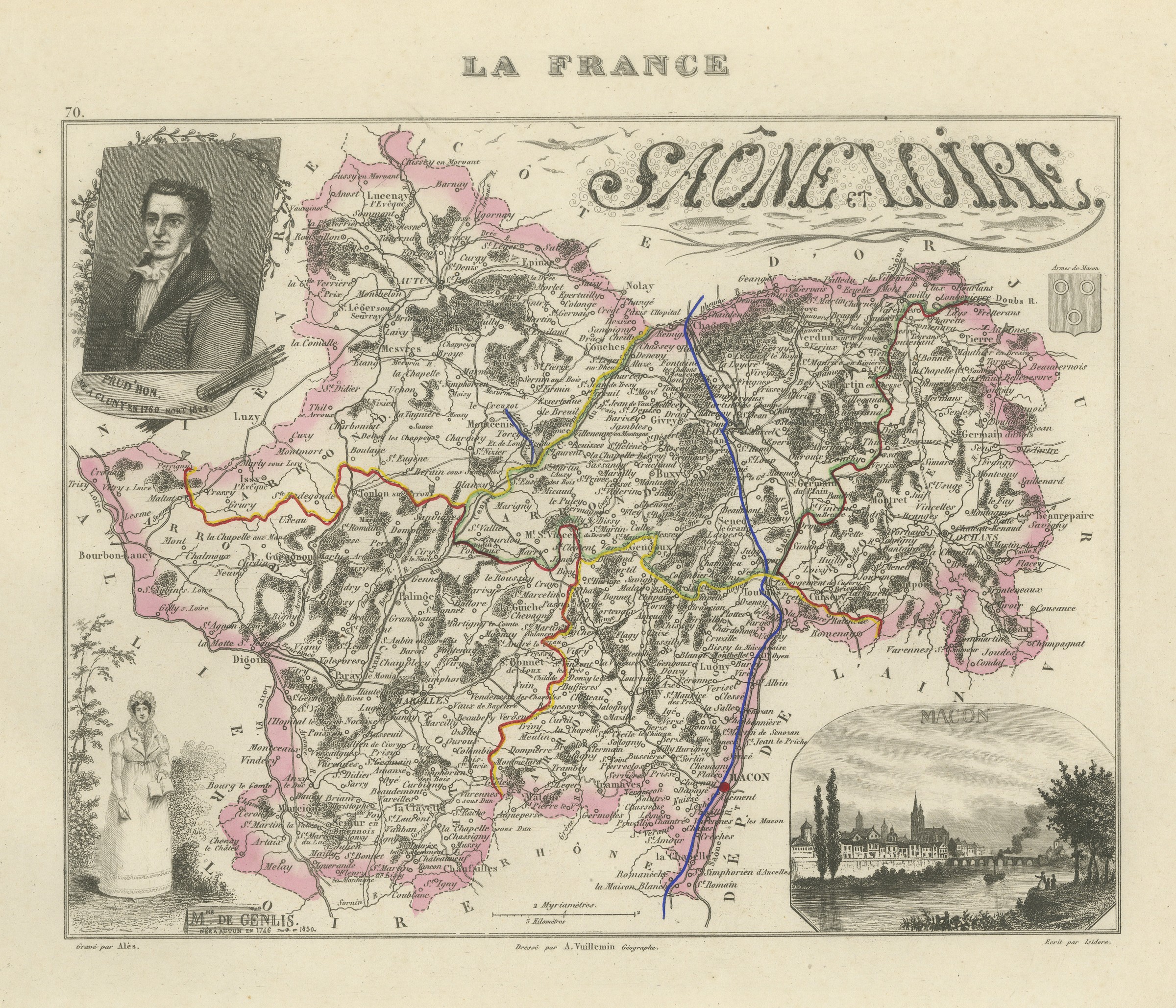
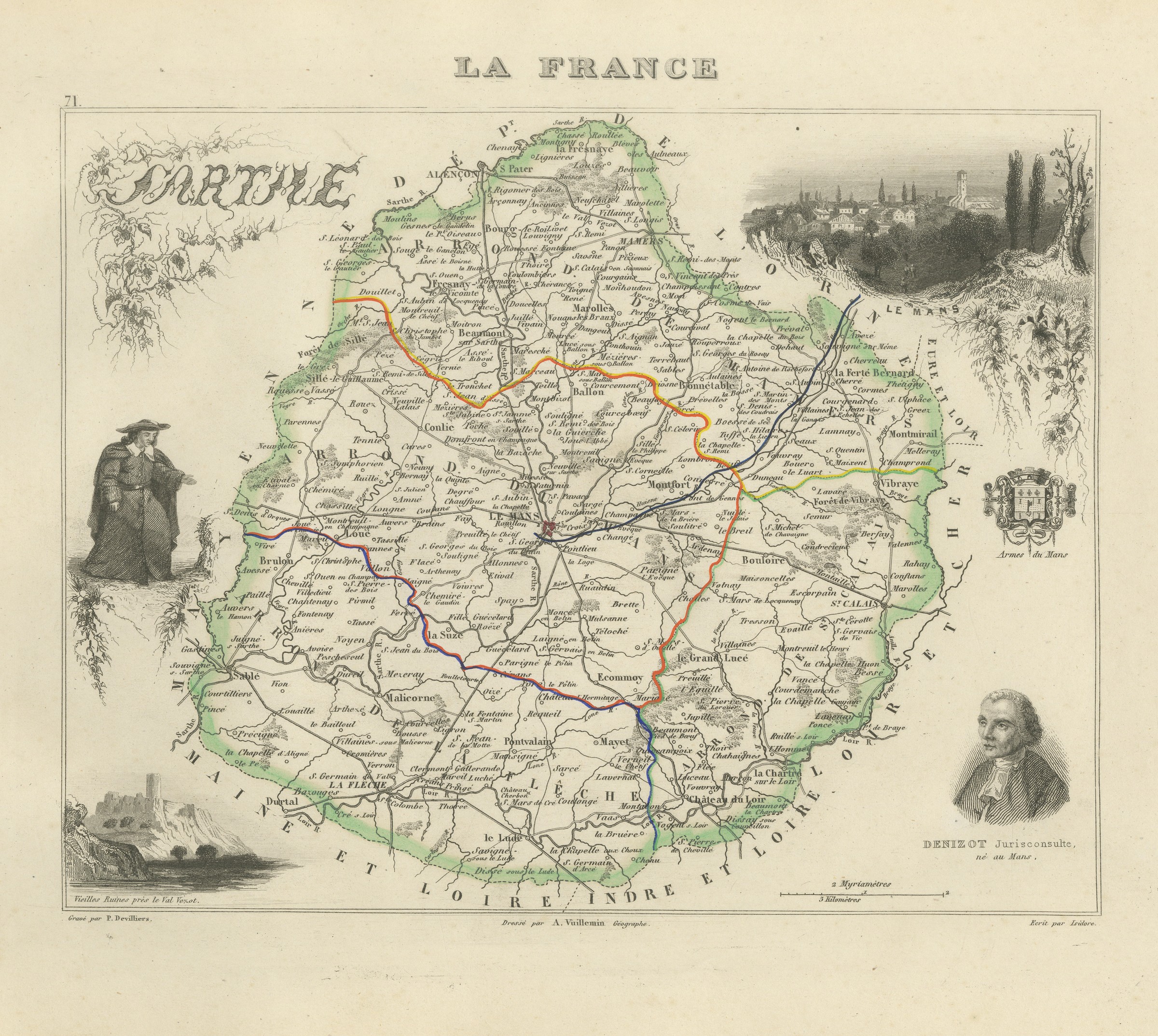
La France, Nouvel Atlas Illustre des Departements et des Colonies was drawn by Alexandre Vuillemin, ingenieur geographe, and published in Paris by Migeon at 9 rue de la Vieille Monnaie. Vuillemin built each sheet from the official surveys, the Cassini maps, the Depot de la Guerre, the Ponts et Chaussees and the charts of the Marine, and then framed the map with engraved vignettes: a portrait of a figure born in the department, a view of a monument or a ruin, a coat of arms. The result is part atlas and part popular encyclopaedia, and it remains one of the most decorative French departmental series of the nineteenth century.
The plates in this copy show France divided into eighty six departments and the county of Nice still outside the frontier, so the engraving was completed before the annexation of Savoy and Nice in 1860, although Migeon went on issuing the atlas for many years afterwards. The sheets suit a French interior particularly well, and a group of neighbouring departments hung together makes an attractive run.
The sheet is in good condition for its age, with light toning and scattered foxing confined to the margins; the four maps themselves are clean.
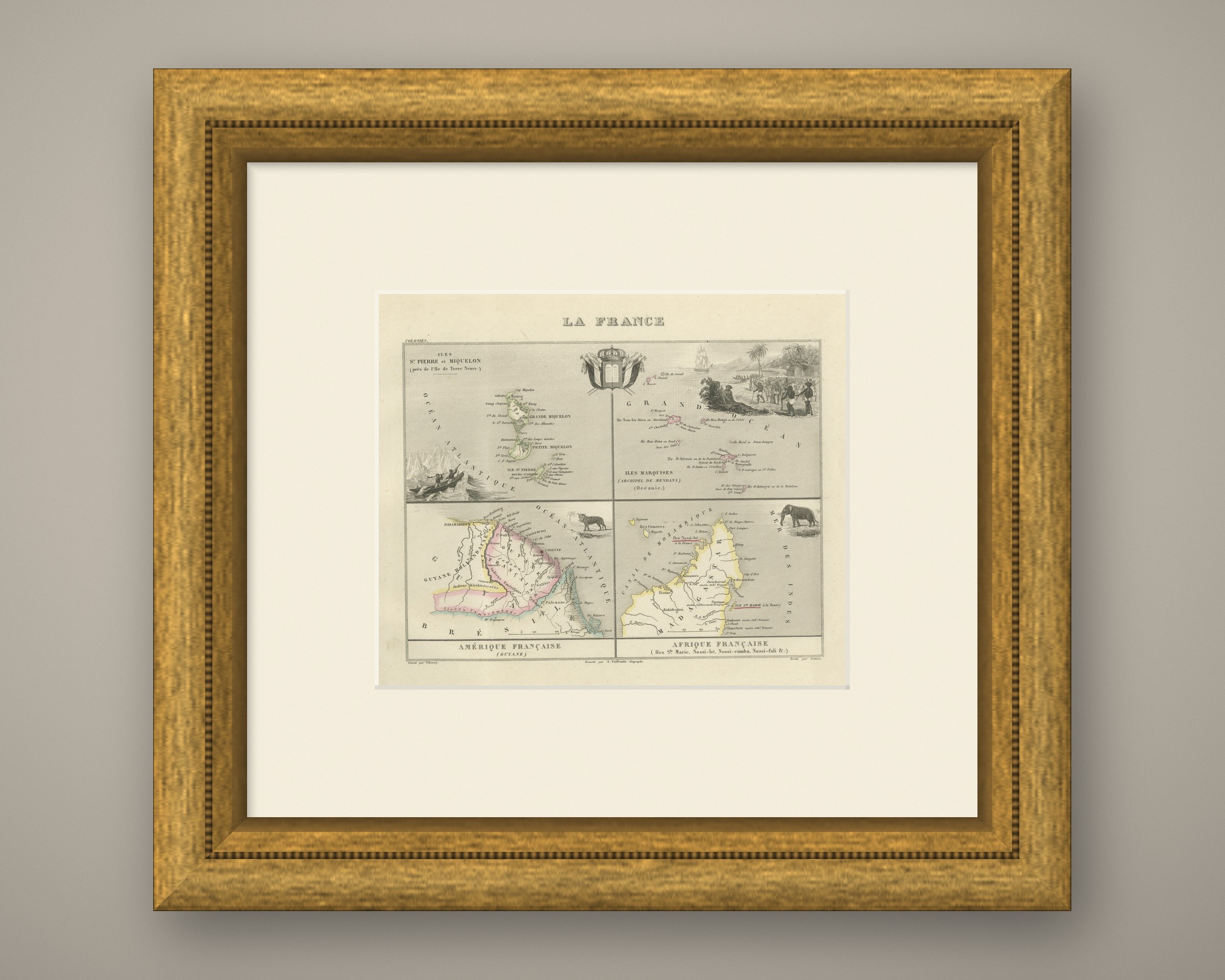
This is an original antique map, not a modern reproduction. This item is sold unframed. Any framed or interior images are shown for presentation and inspiration only, unless the listing explicitly states that the item is sold framed.