About this sheet
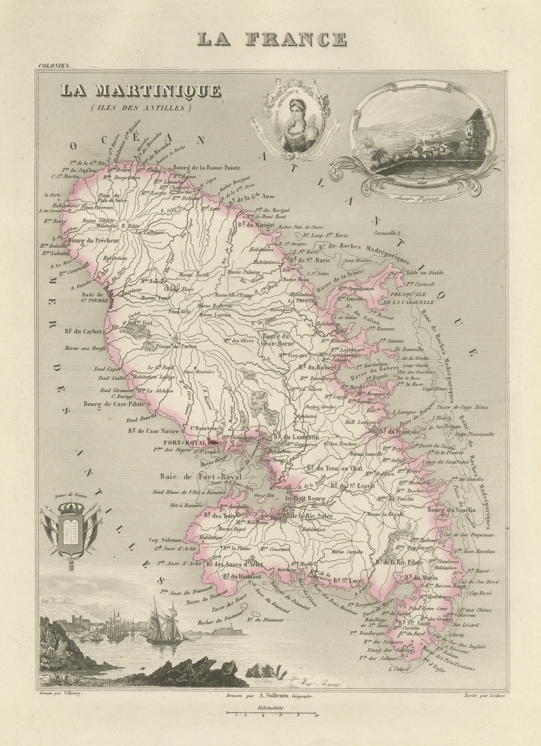
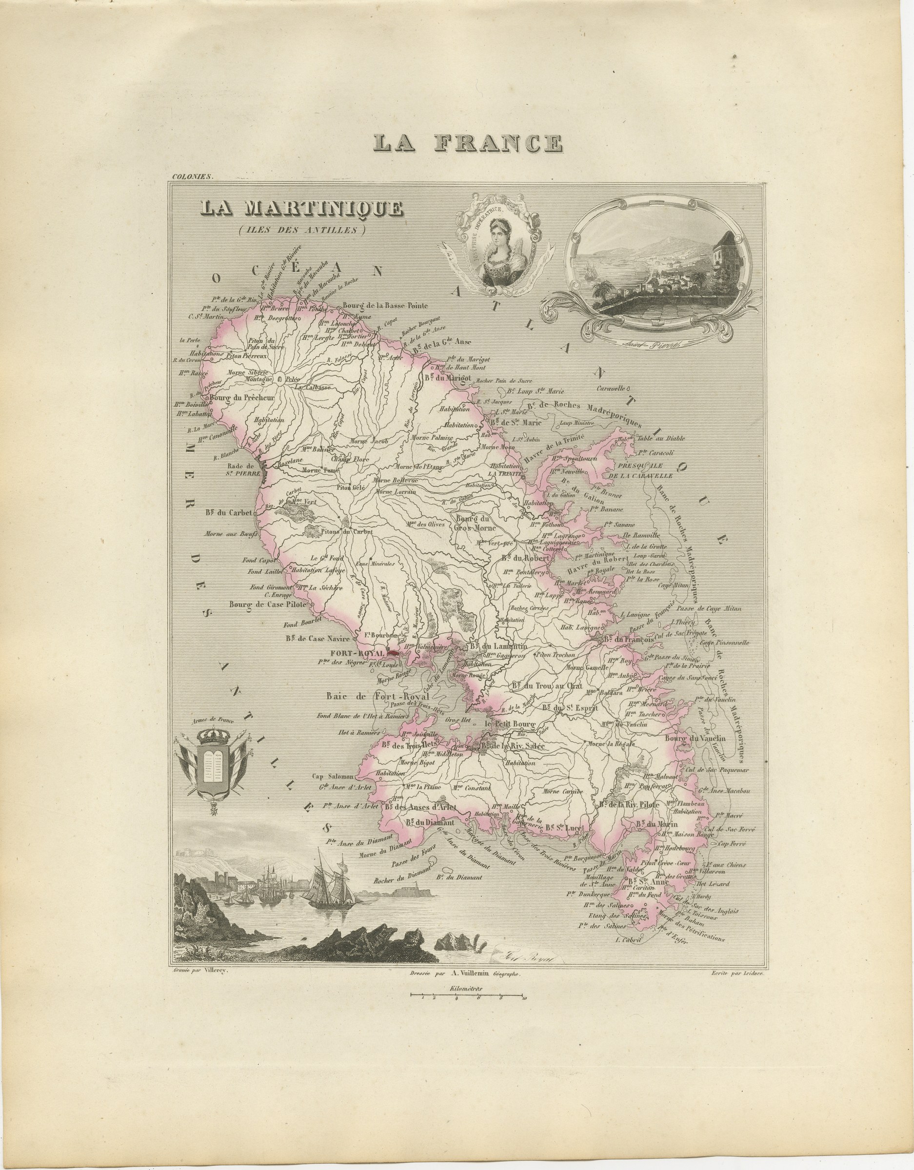
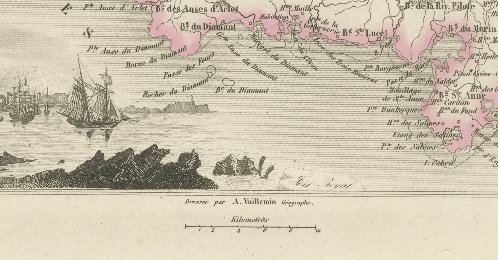
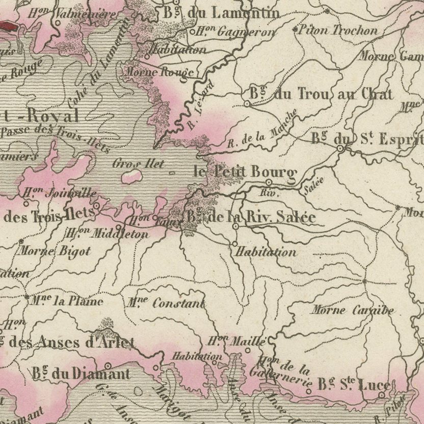
A map of Martinique in the Lesser Antilles, with Fort-Royal, now Fort-de-France, on its bay, Saint-Pierre and Le Precheur under the volcano on the north west coast, the peninsula of La Caravelle reaching east into the Atlantic, and the Rocher du Diamant off the southern point. Le Carbet, Case Pilote, Le Robert, Le Vauclin, Le Marin and La Trinite are named around the shore, with the coral formations marked offshore. Saint-Pierre was the principal town of the island when this plate was engraved and was destroyed with almost all its people by Mont Pelee in 1902, so the map shows a place that no longer exists. That alone makes it worth more than an ordinary island sheet.
La France, Nouvel Atlas Illustre des Departements et des Colonies was drawn by Alexandre Vuillemin, ingenieur geographe, and published in Paris by Migeon at 9 rue de la Vieille Monnaie. Vuillemin built each sheet from the official surveys, the Cassini maps, the Depot de la Guerre, the Ponts et Chaussees and the charts of the Marine, and then framed the map with engraved vignettes: a portrait of a figure born in the department, a view of a monument or a ruin, a coat of arms. The result is part atlas and part popular encyclopaedia, and it remains one of the most decorative French departmental series of the nineteenth century.
The plates in this copy show France divided into eighty six departments and the county of Nice still outside the frontier, so the engraving was completed before the annexation of Savoy and Nice in 1860, although Migeon went on issuing the atlas for many years afterwards. The sheets suit a French interior particularly well, and a group of neighbouring departments hung together makes an attractive run.
The sheet is in good condition for its age, with light toning, a few small marginal spots and minor nicks at the upper edge; the image itself is clean.
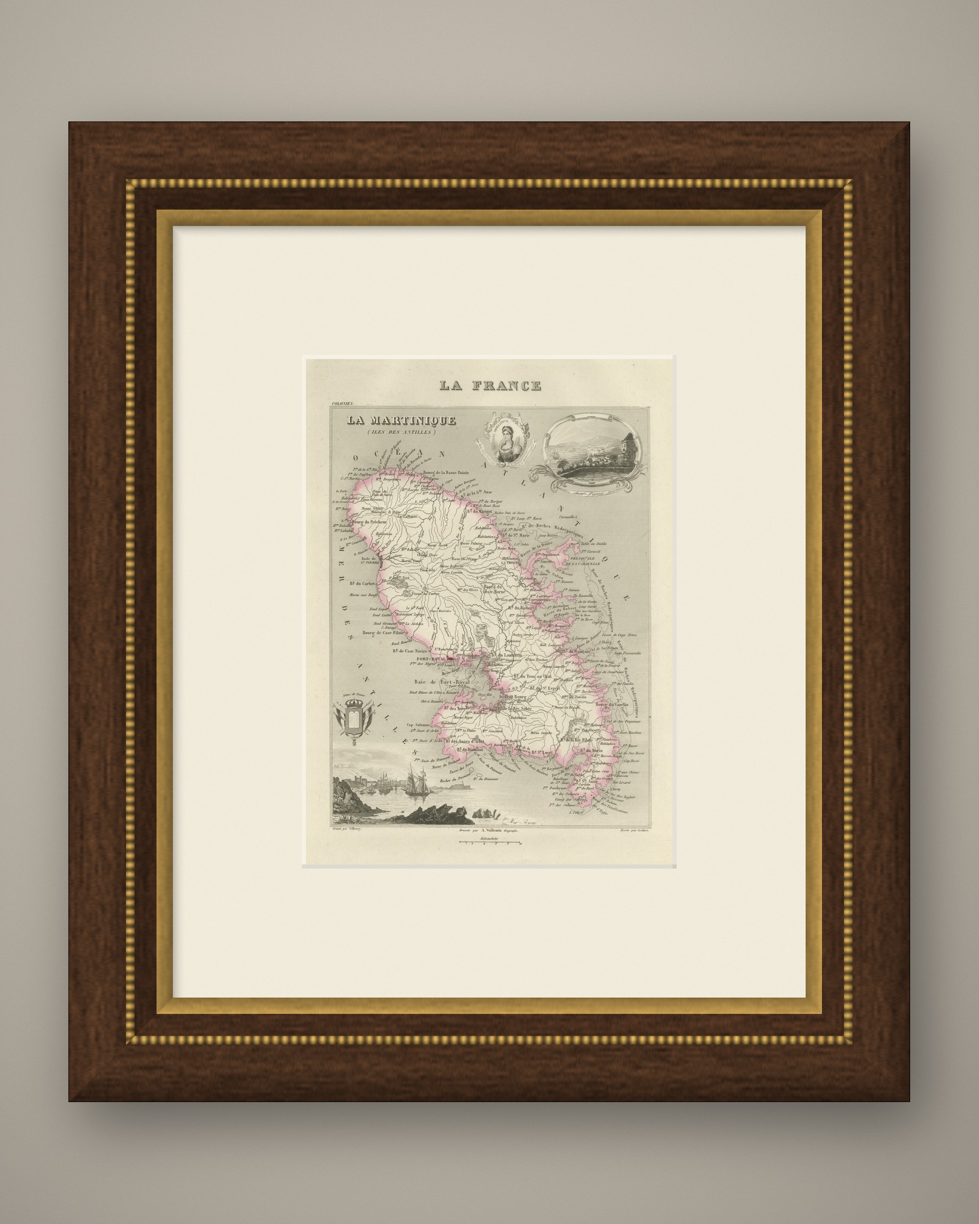
This is an original antique map, not a modern reproduction. This item is sold unframed. Any framed or interior images are shown for presentation and inspiration only, unless the listing explicitly states that the item is sold framed.