Antique Map of Europe, Before the First World War, Rand McNally, 1899
€ 345
Original antique · The actual sheet photographed · Certificate of authenticity on request · Sold unframed · Worldwide shipping from € 15 (rates)
Date
1899
Mapmaker / artist
Rand, McNally & Co.
Publisher
Rand, McNally & Co., Chicago
Technique
Lithograph
Colouring
Printed colour
Condition
Good
Reference
BG-12793-2-88
Condition
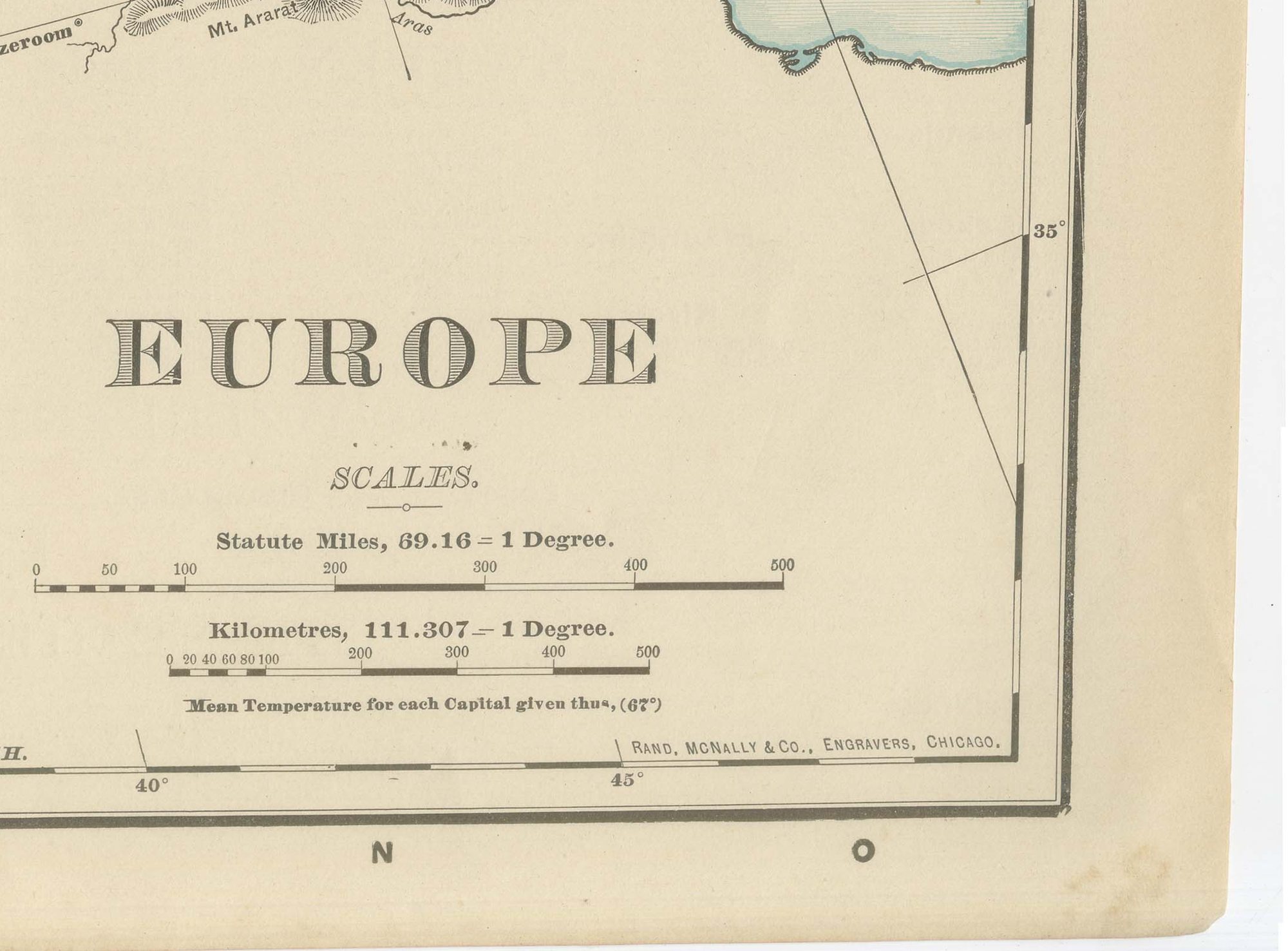
Good condition for its age. Light age toning, deeper toward the edges, light wear and small nicks to the sheet edges and the original central fold as issued. Please review the images for further condition details.
About this sheet
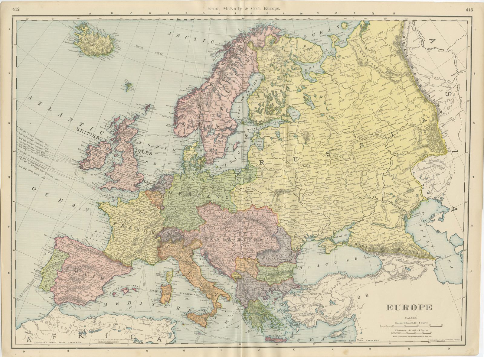
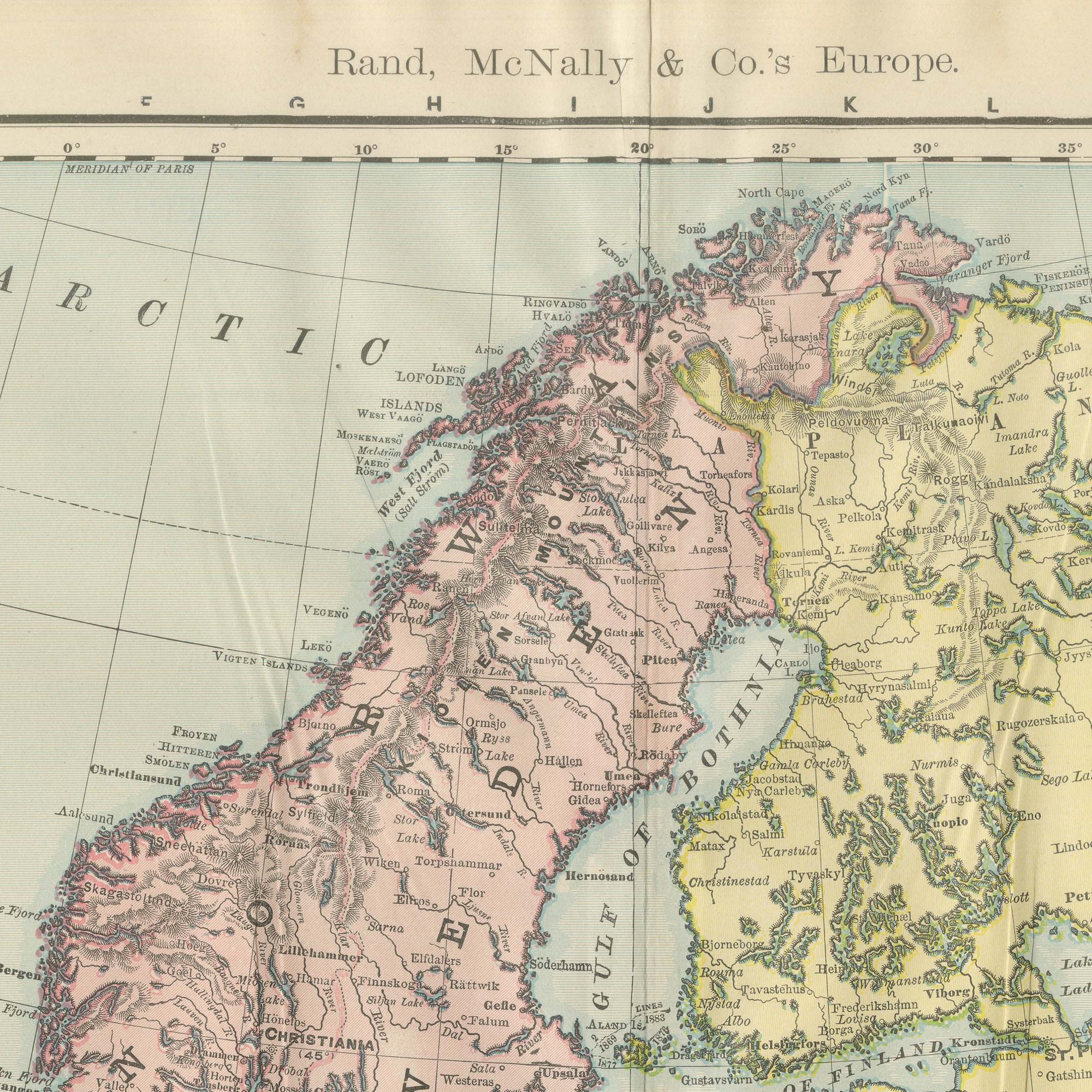
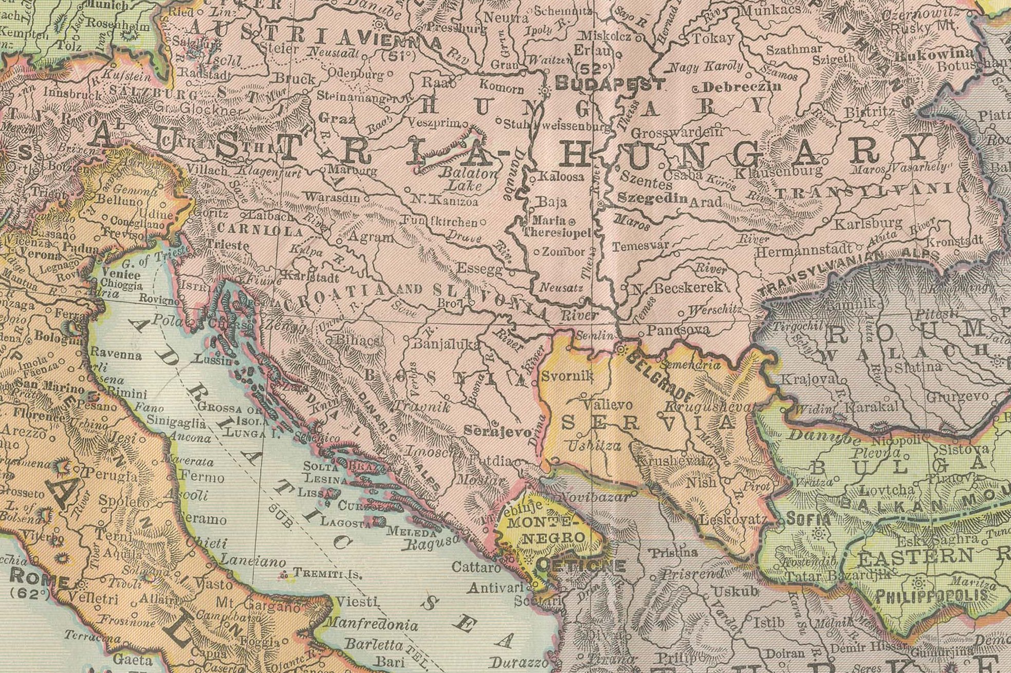
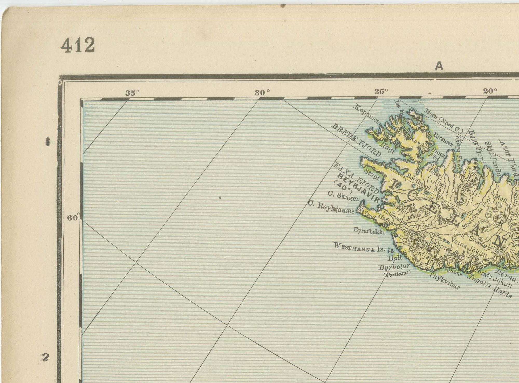
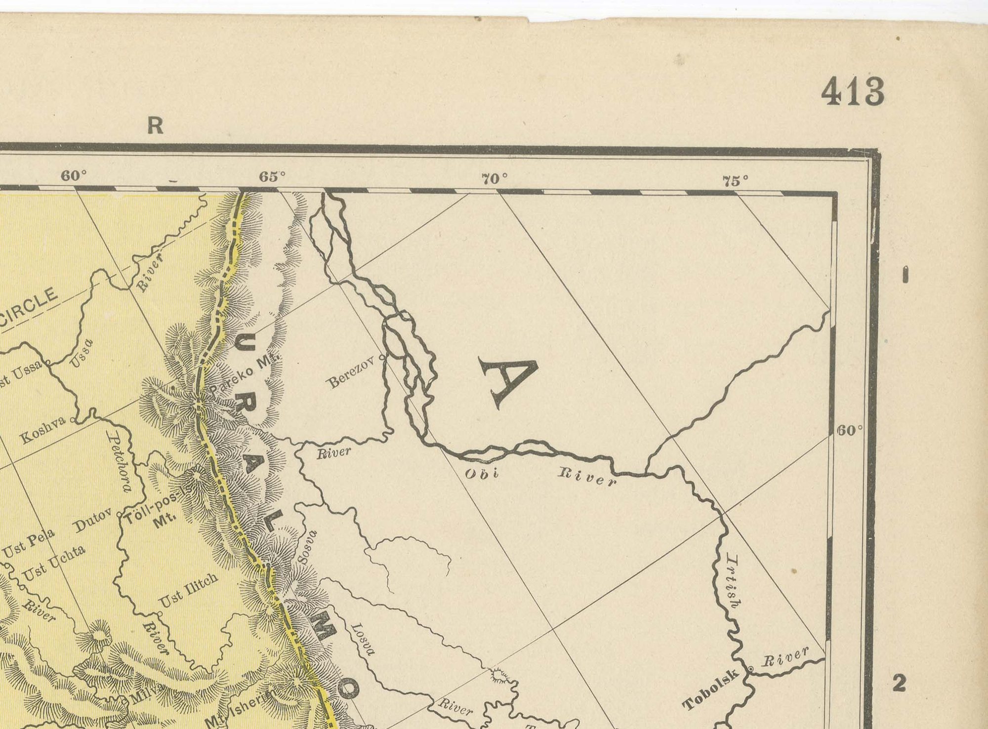
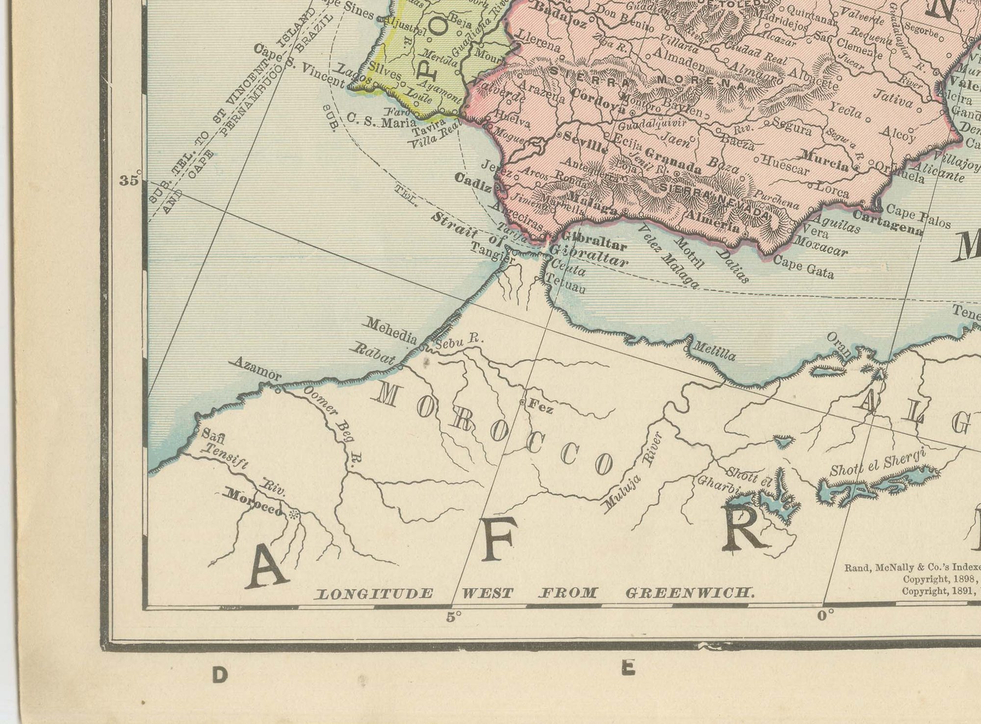
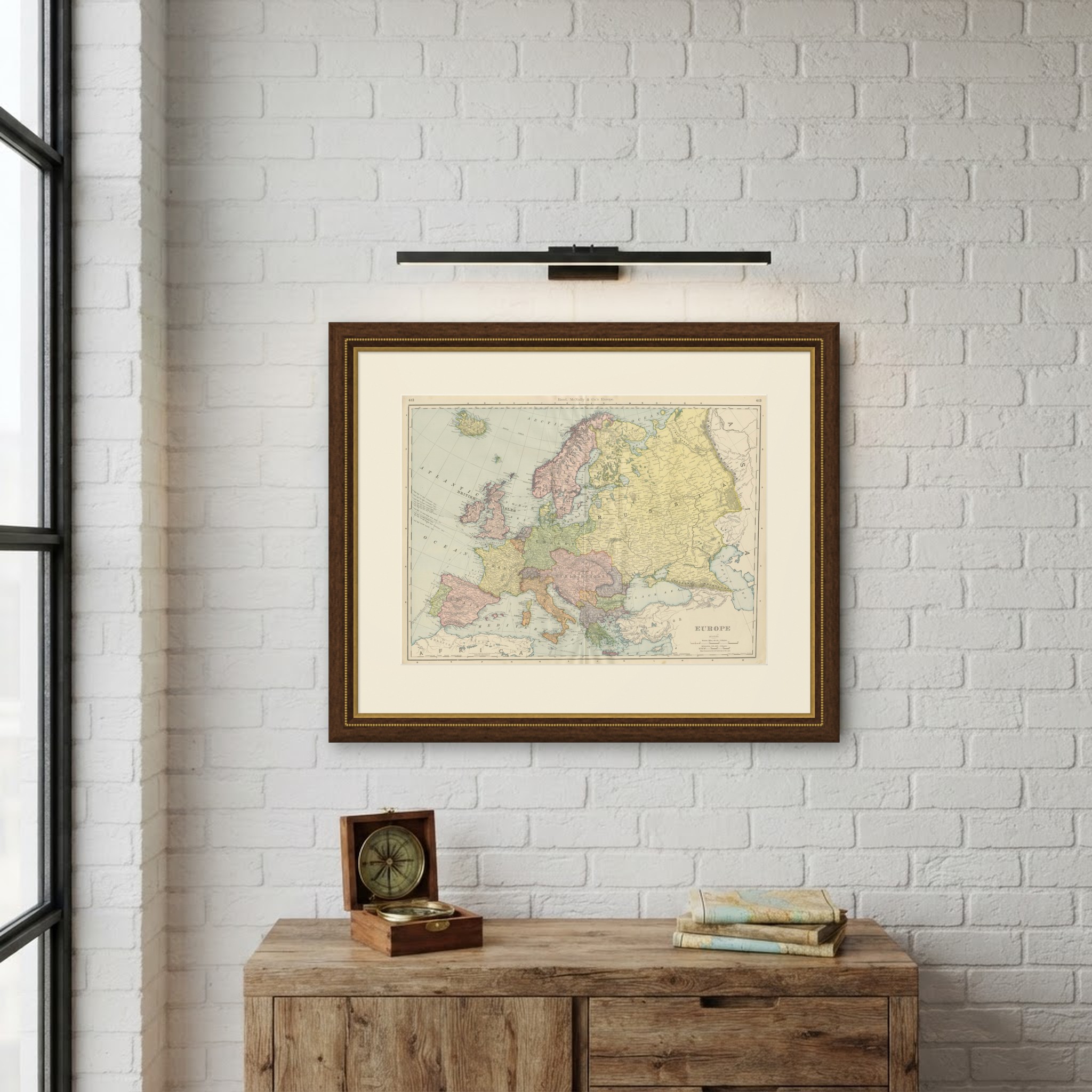
Rand McNally's antique map of Europe, from pages 412 and 413 of the firm's 1899 indexed atlas, is a double-page spread covering the continent from Iceland and the British Isles in the northwest to the Ural Mountains and the Caucasus in the east, and from Scandinavia and the Arctic Circle south to the Mediterranean, Greece and European Turkey. Each state is washed in its own pastel colour: the Russian Empire in pale yellow across the eastern third, Germany in sage green, Austria-Hungary in pink, France in pale yellow, Spain in pink, Italy in orange, and Norway and Sweden together in pink down the Scandinavian peninsula.
The political map is a genuine snapshot of Europe before the First World War. Austria-Hungary appears as a single Dual Monarchy stretching from Bohemia to Transylvania; the Ottoman Empire still holds Macedonia and the territory north of Greece under the label "Turkey," with "Eastern Roumelia" distinguished within it; and the German, Russian and Austro-Hungarian empires meet along borders that would not survive the following two decades. Railway lines are not colour-keyed on this continental sheet as they are on the country and provincial maps elsewhere in the atlas; instead it concentrates on political boundaries, principal cities, and coastal and river detail.
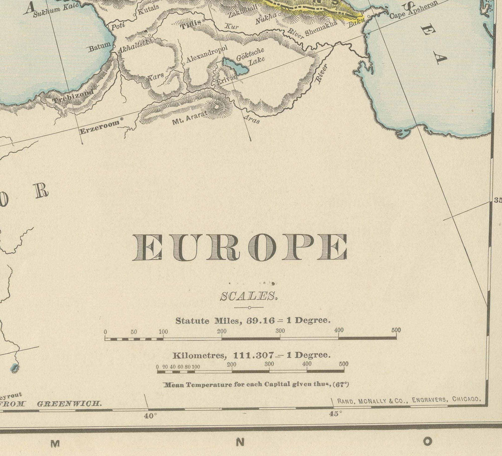
Scale is given as 69.16 statute miles to a degree, with a kilometre bar and a small table of mean temperatures for the chief capitals, a feature repeated across several of the continental plates.
Rand McNally, a Chicago firm that grew from William Rand's printing business of the 1850s and was joined by Andrew McNally, had by the 1890s become one of the leading map publishers in the United States. This antique map of Europe is a colour lithograph, the outline printed in black with the original colours printed over it, and an original 1899 atlas sheet, issued folded through the centre and suitable for framing. The colour is printed rather than applied by hand.
The sheet is in good condition for its age, with light age toning, deeper toward the edges, light wear and small nicks to the sheet edges and the original central fold as issued. Please review the images for further condition details.
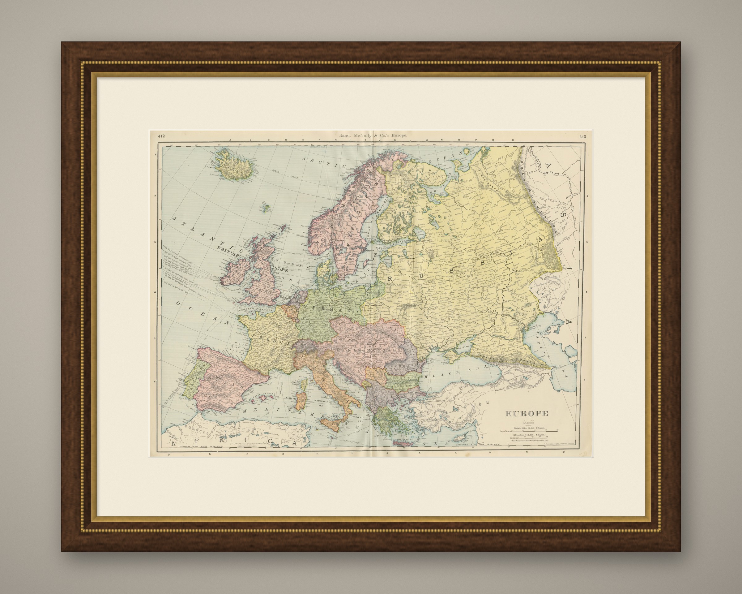
This is an original antique map, not a modern reproduction. This item is sold unframed. Any framed or interior images are shown for presentation and inspiration only, unless the listing explicitly states that the item is sold framed.