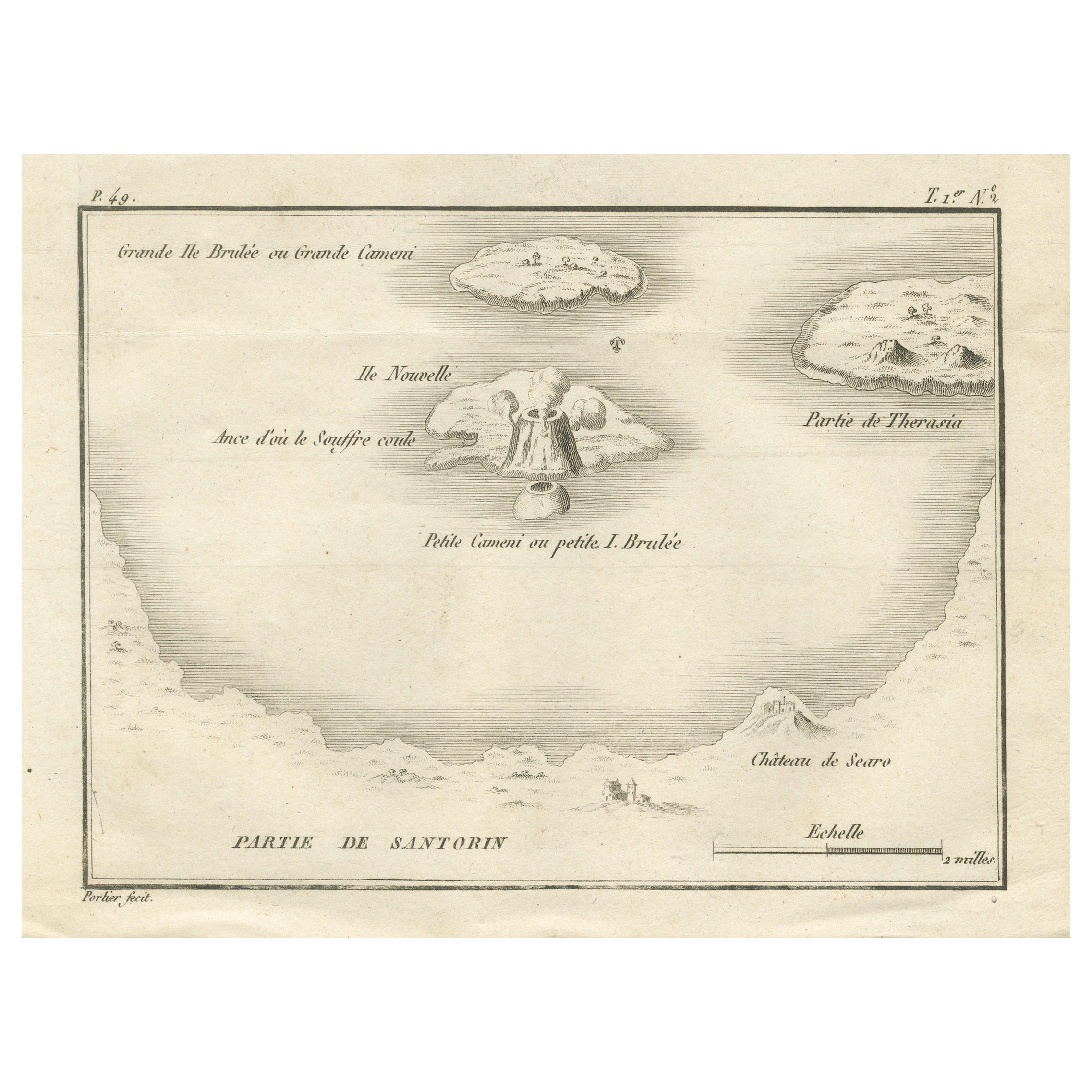
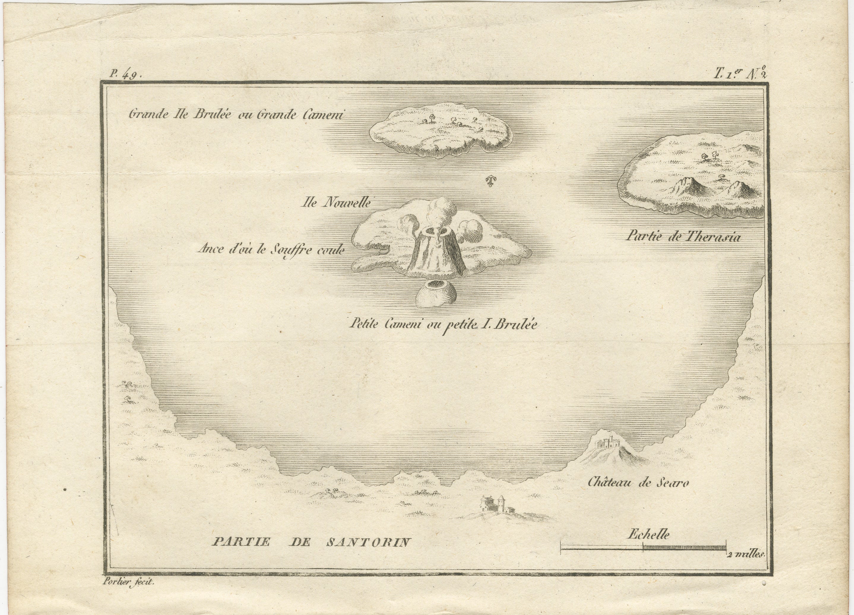
Map of the Volcano Islands of Santorini – Antique Engraving by Portier, ca.1790
€ 270
One of a kind: this is the sheet in the photographs. Ships from Langweer, the Netherlands.
Date
1790
Sheet size
14.8 × 20 cm (5.8 × 7.9 in)
Condition
Good
Reference
BG-14078-12
Condition
Condition report: Very good condition with a strong plate mark and clear impression. Minor central fold, as issued, light toning, and a few faint spots in the margins. Paper is strong and stable.
About this sheet
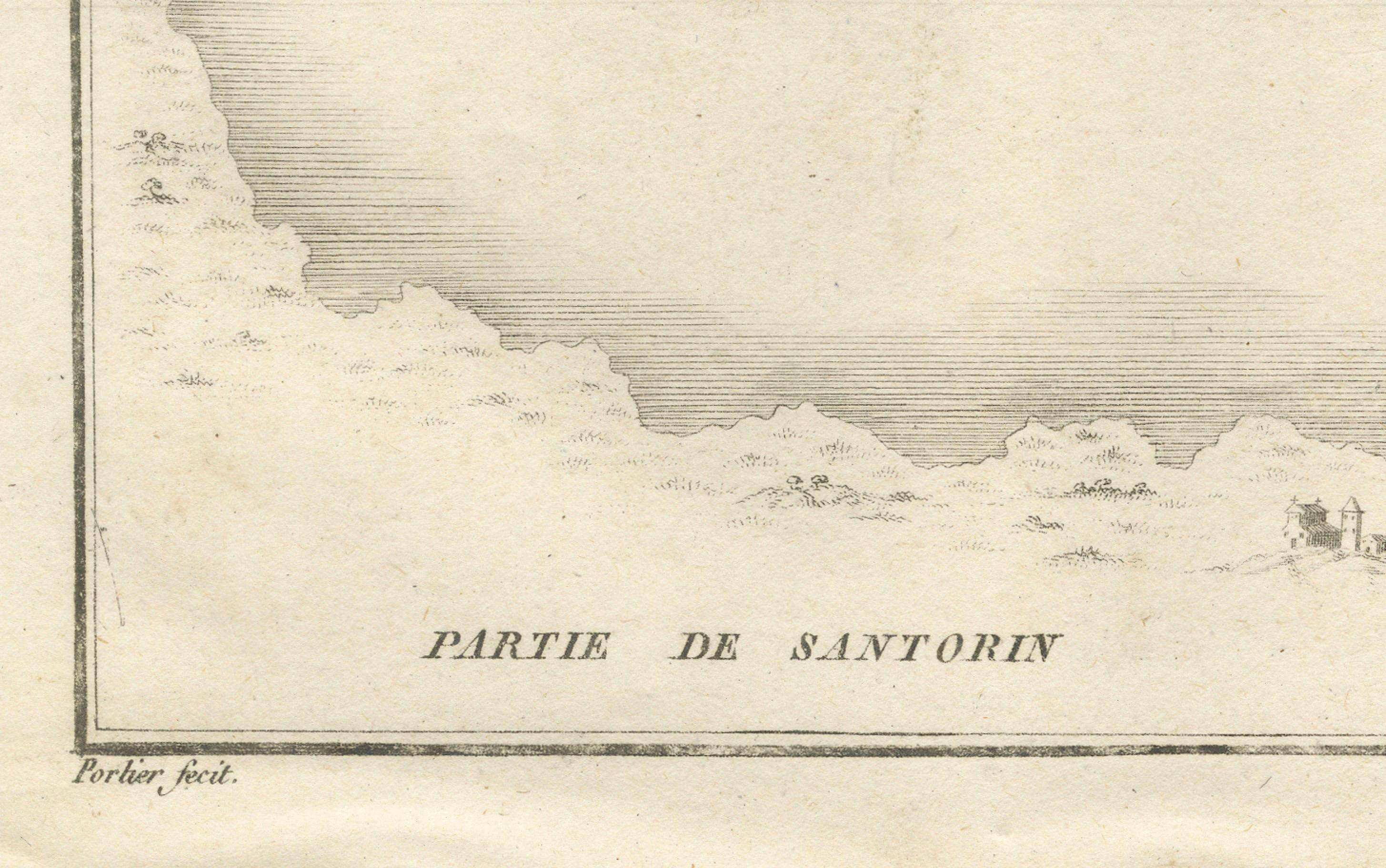
Map of the Volcano Islands of Santorini – Antique French Engraving by Portier, c.1790
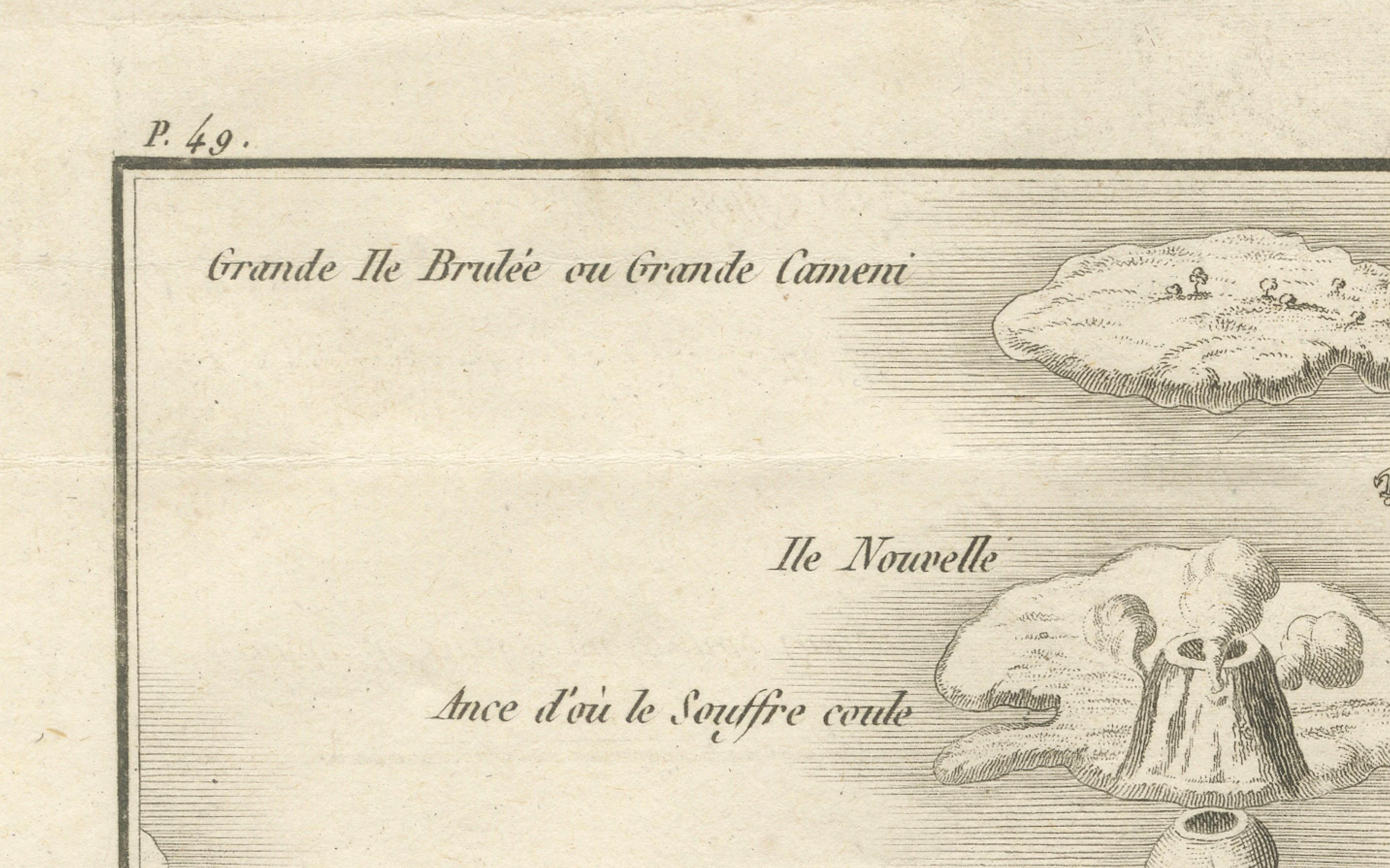
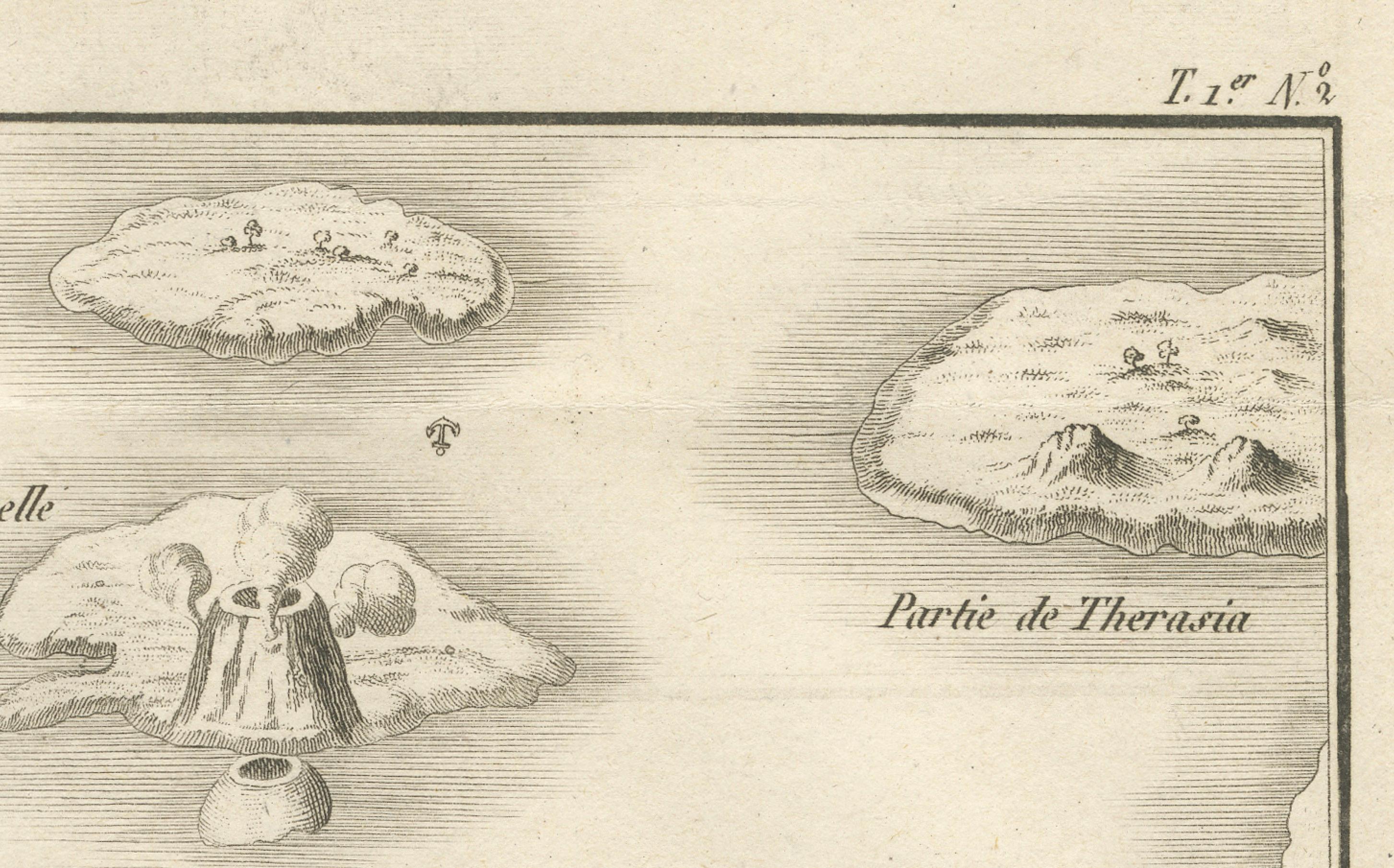
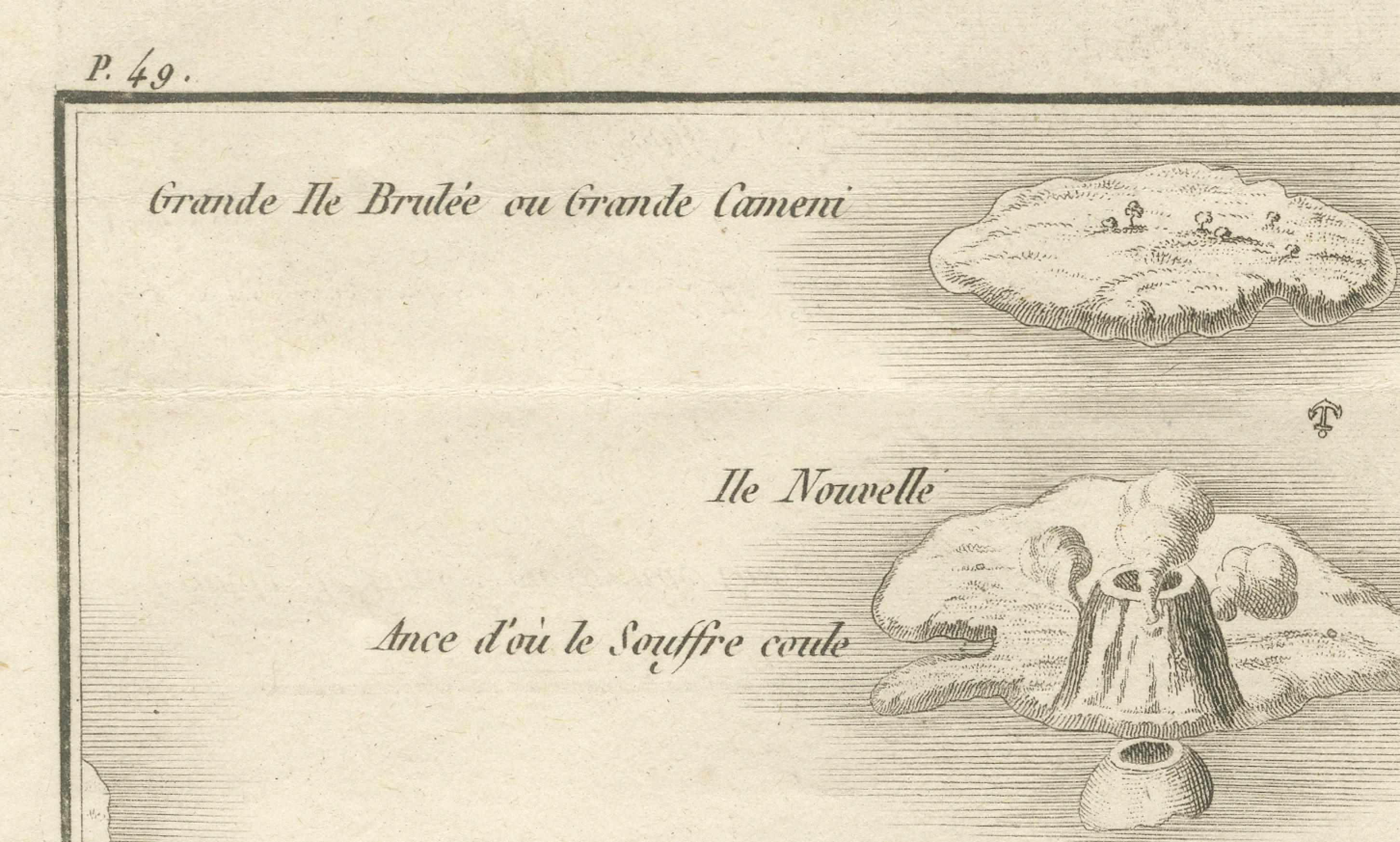
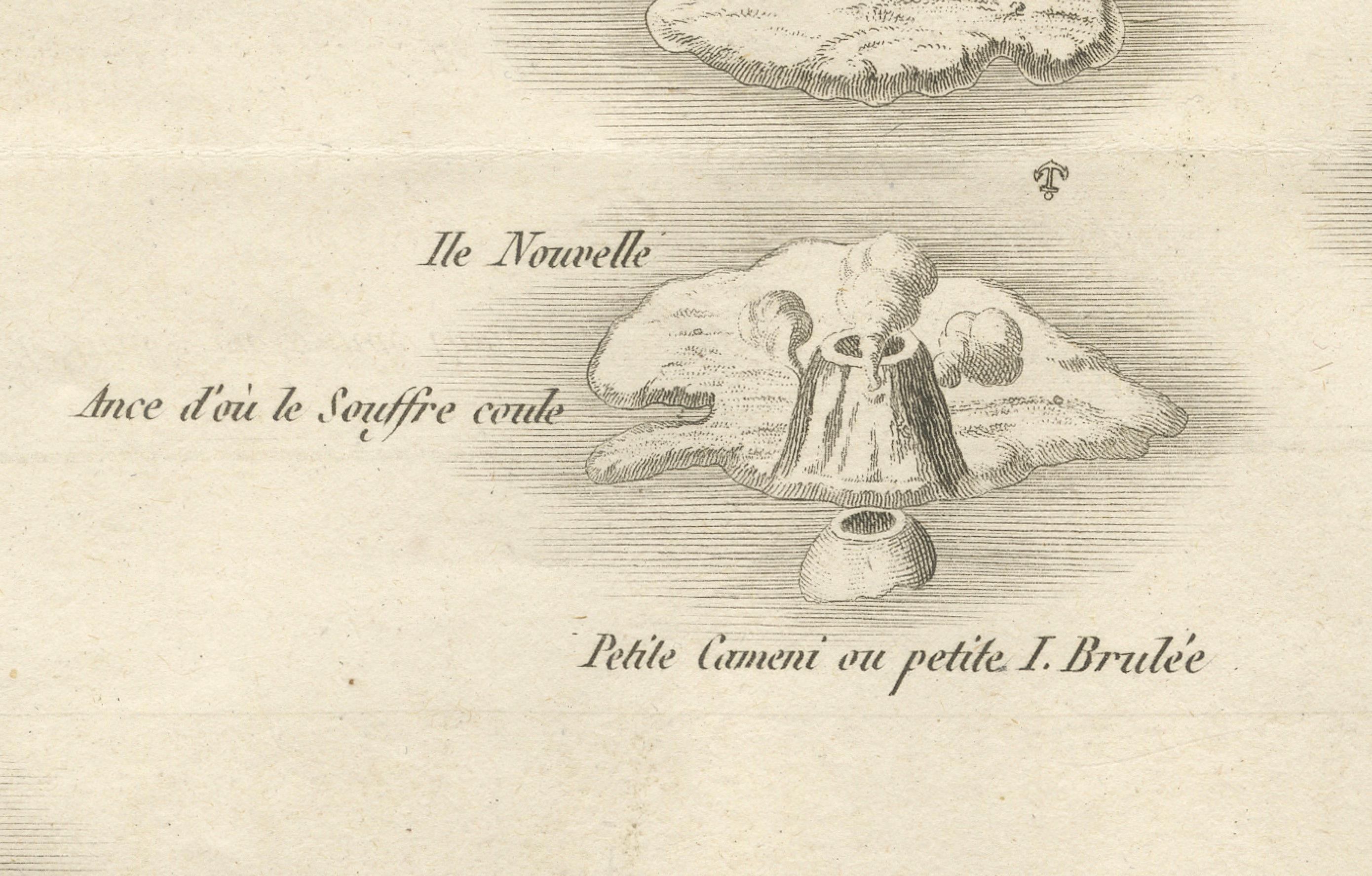
This antique French engraving presents a detailed view of the volcanic islands at the center of the Santorini caldera in the Aegean Sea, as they appeared in the late 18th century. Engraved by Portier around 1790, the map shows the “Grande Île Brûlée” (Great Burnt Island or Nea Kameni), “Île Nouvelle” (New Island), “Petite Île Brûlée” (Small Burnt Island or Palea Kameni), and a portion of the nearby island of Therasia.
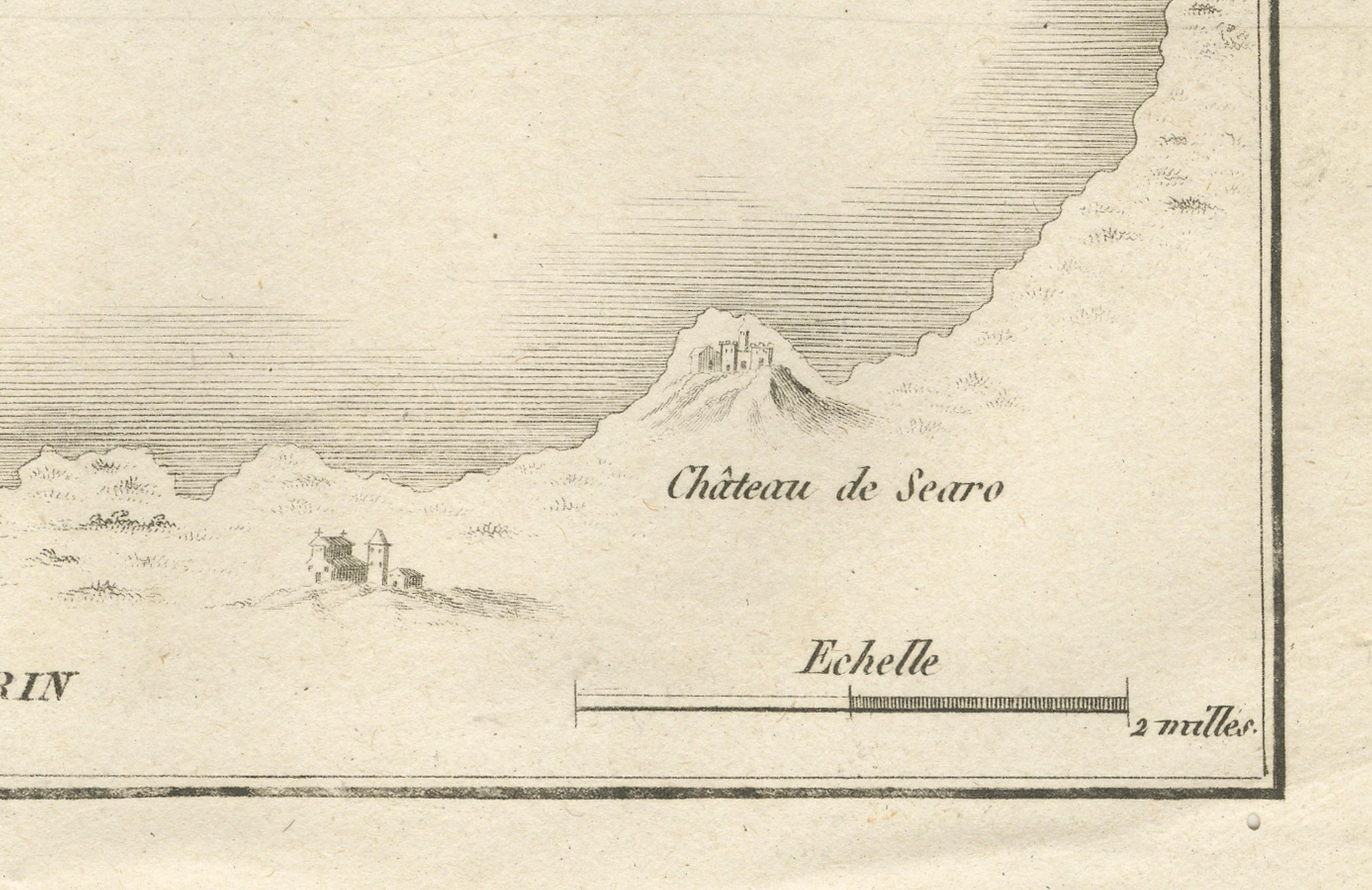
The central feature is the active volcanic vent of the “Île Nouvelle,” illustrated with smoke billowing from its crater and labeled “Ance d’où le Souffre coule” (Cove from which the sulfur flows). The surrounding islands are depicted in shaded relief, with labels for settlements and landmarks, including the “Château de Searo” on the main island of Santorini. A scale in nautical miles is provided at the bottom.
Santorini’s central islands were formed through repeated volcanic eruptions over centuries. The “Île Nouvelle” depicted here represents land created by eruptions in the early modern period, with subsequent activity continuing to alter the geography. This engraving likely served both as a geographic record and a scientific illustration, part of the Enlightenment-era European fascination with volcanic phenomena.
The fine linework and delicate shading typical of Portier’s style capture both the form of the islands and the dramatic volcanic activity, making it an appealing piece for collectors of antique maps, geological history, or Mediterranean cartography.
Condition report: Very good condition with a strong plate mark and clear impression. Minor central fold, as issued, light toning, and a few faint spots in the margins. Paper is strong and stable.
Framing tips: Best displayed in a simple black or dark walnut frame with a cream archival mat. A double mat with a thin inner line in grey could subtly echo the map’s tonal range.
Technique: Engraving Maker: Portier, France, c.1790