About this sheet
Antarctic Exploration Map by Noothoven van Goor with Early Discoveries, c.1876
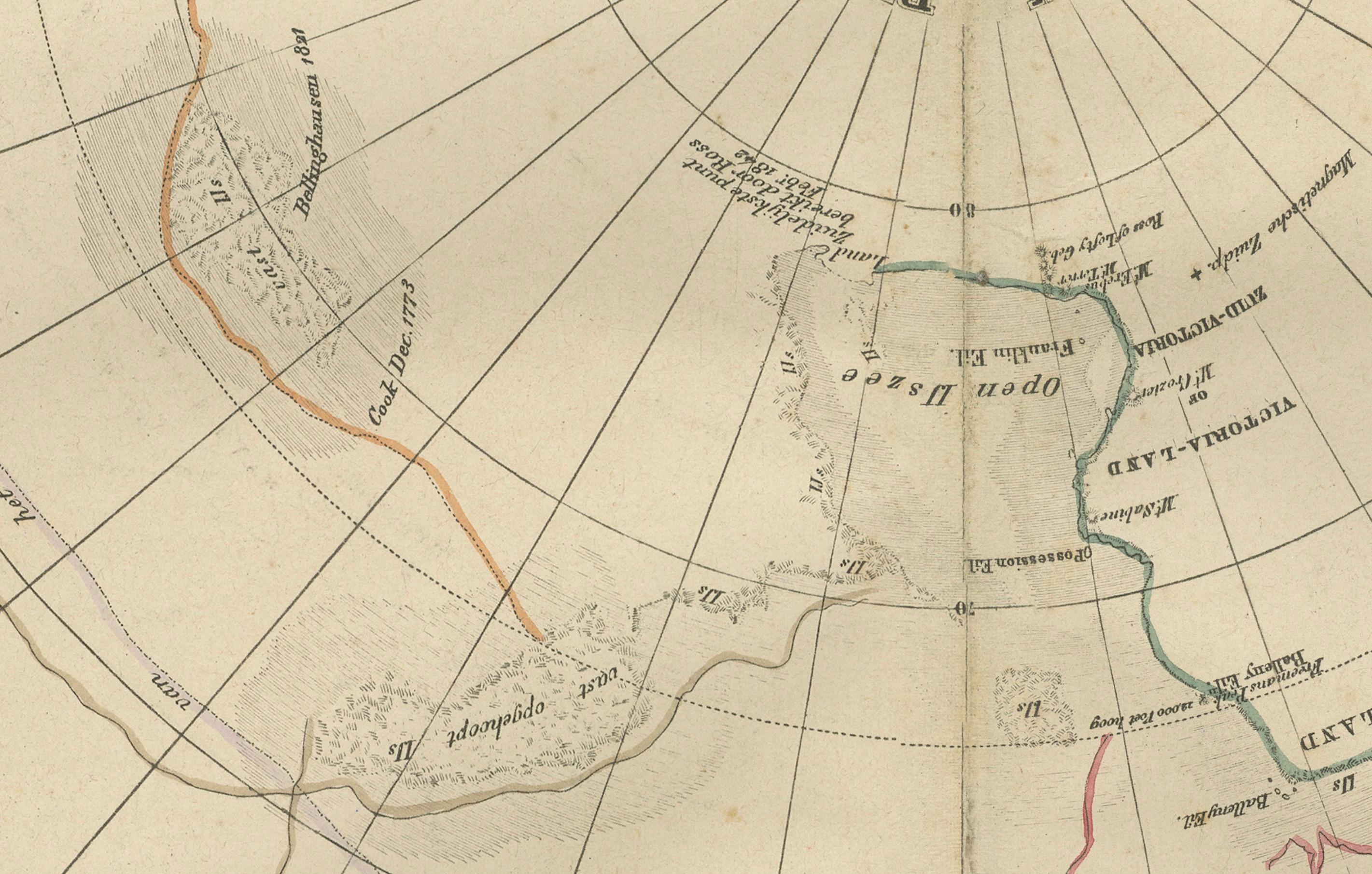
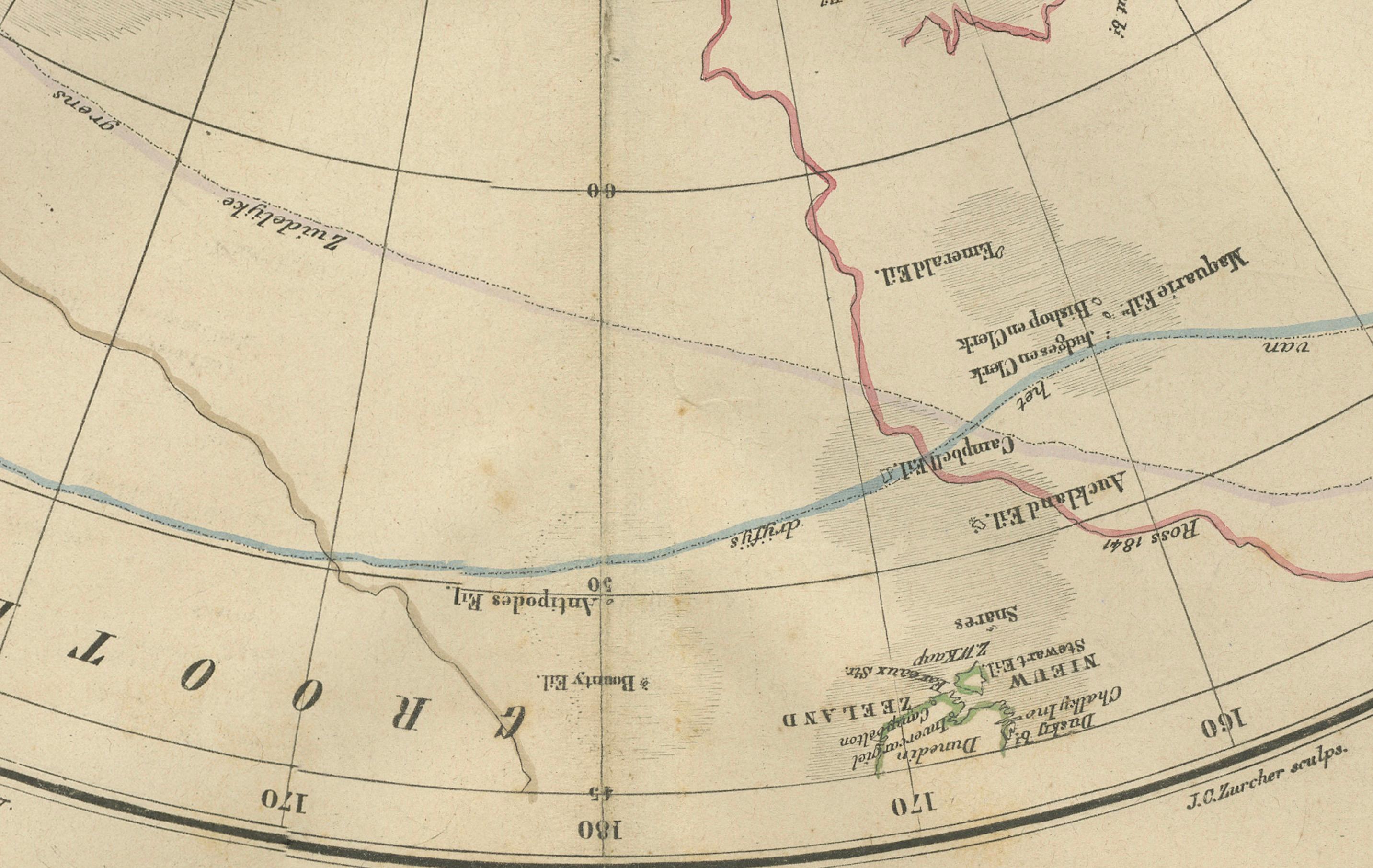
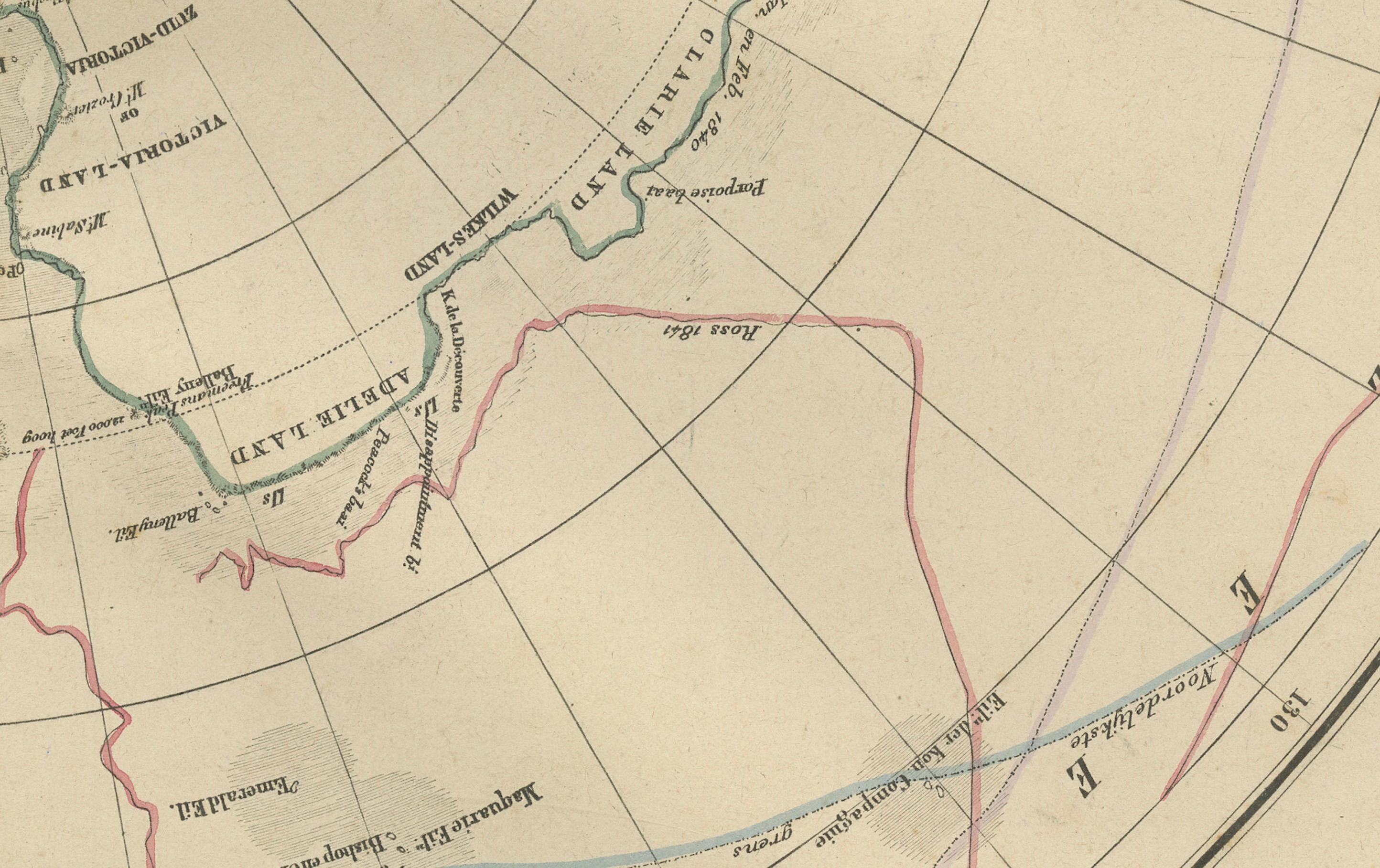
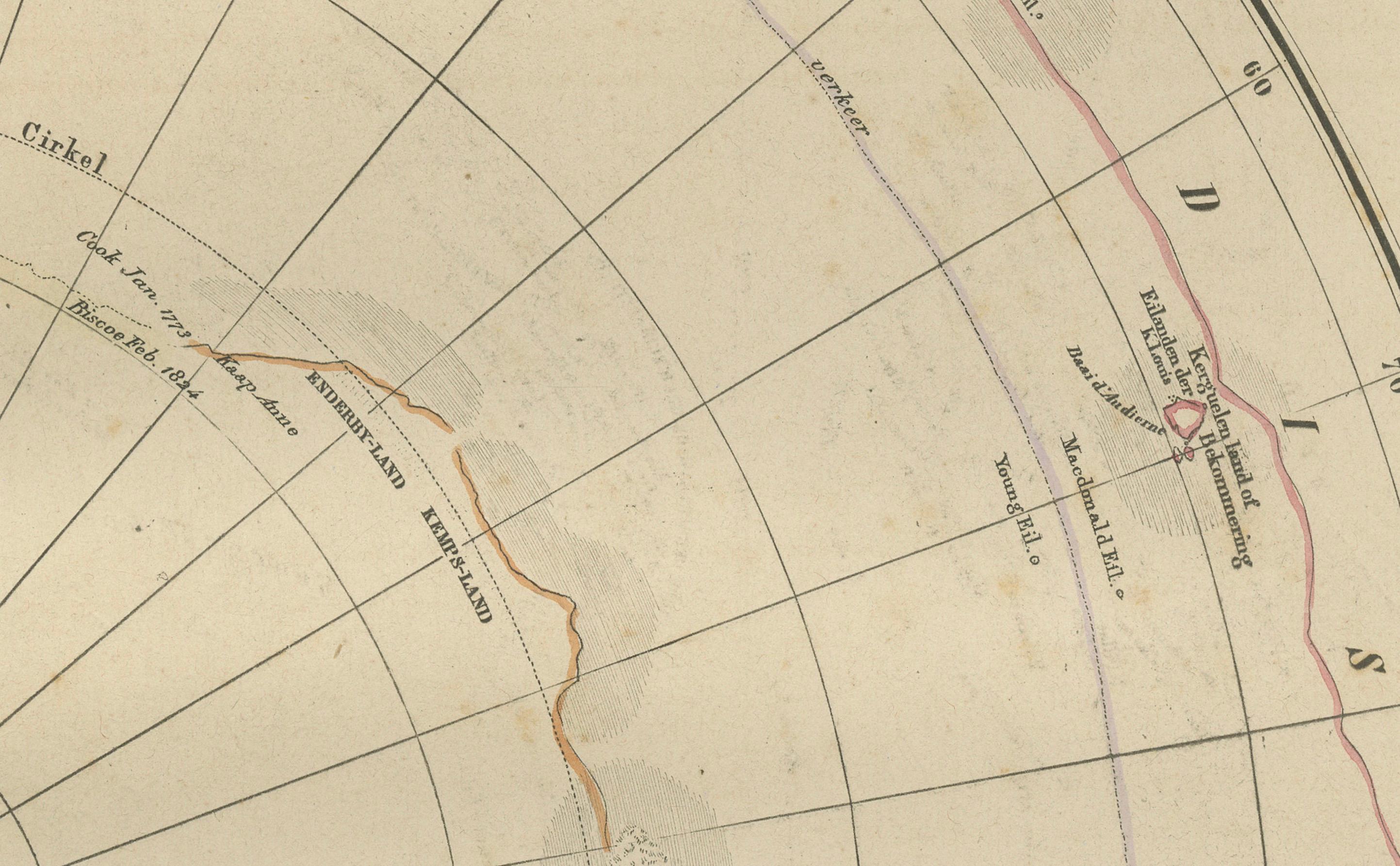
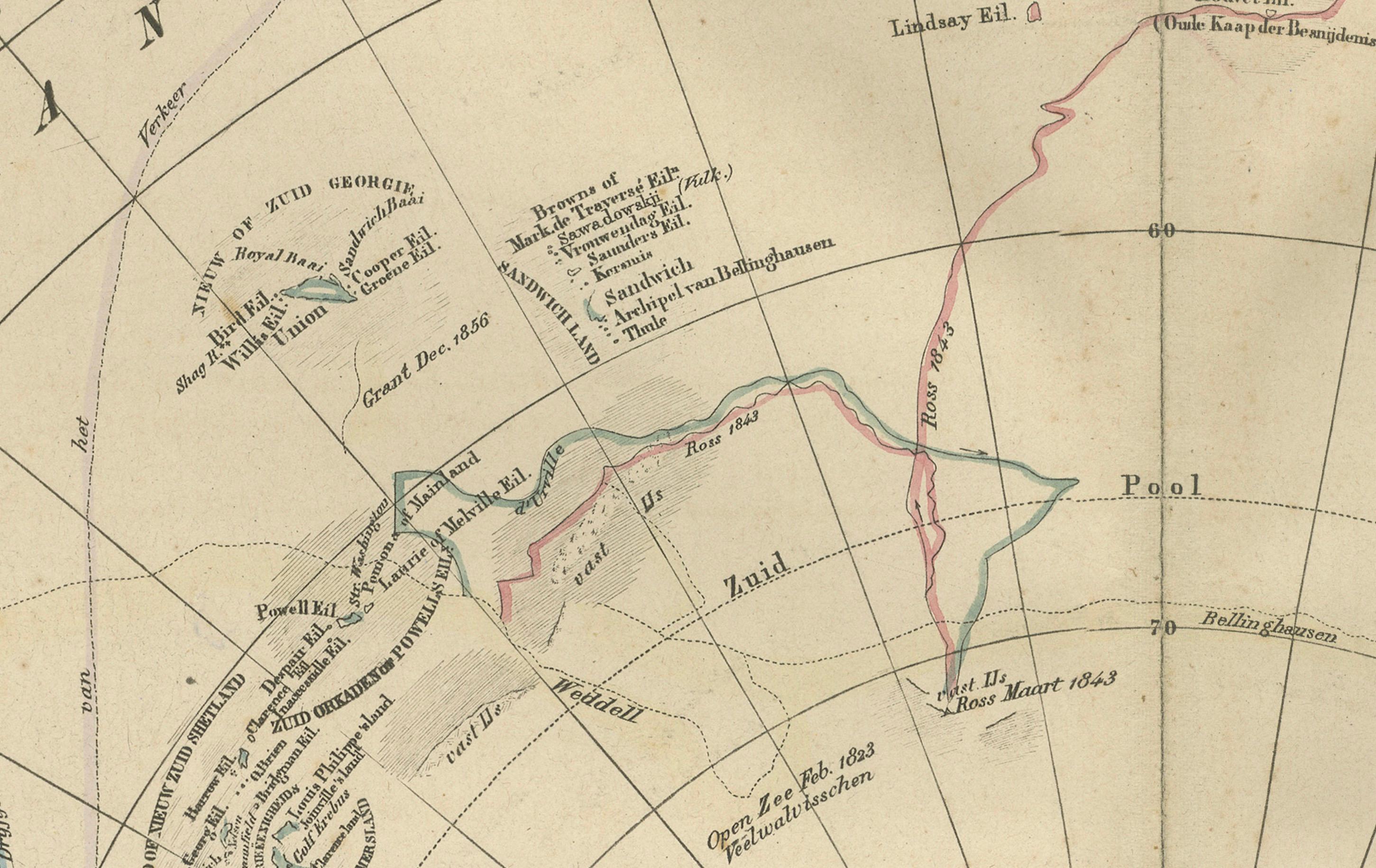
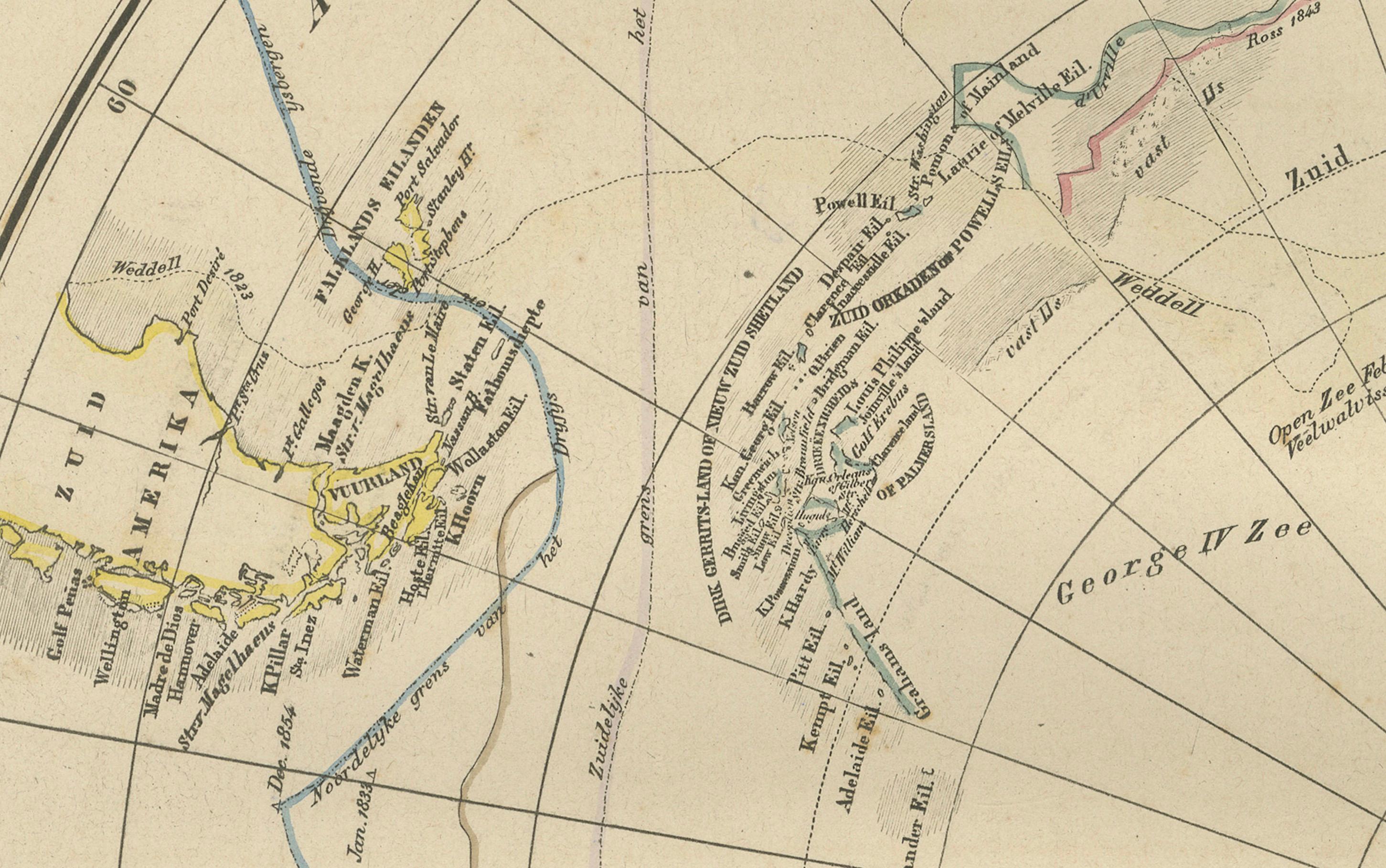
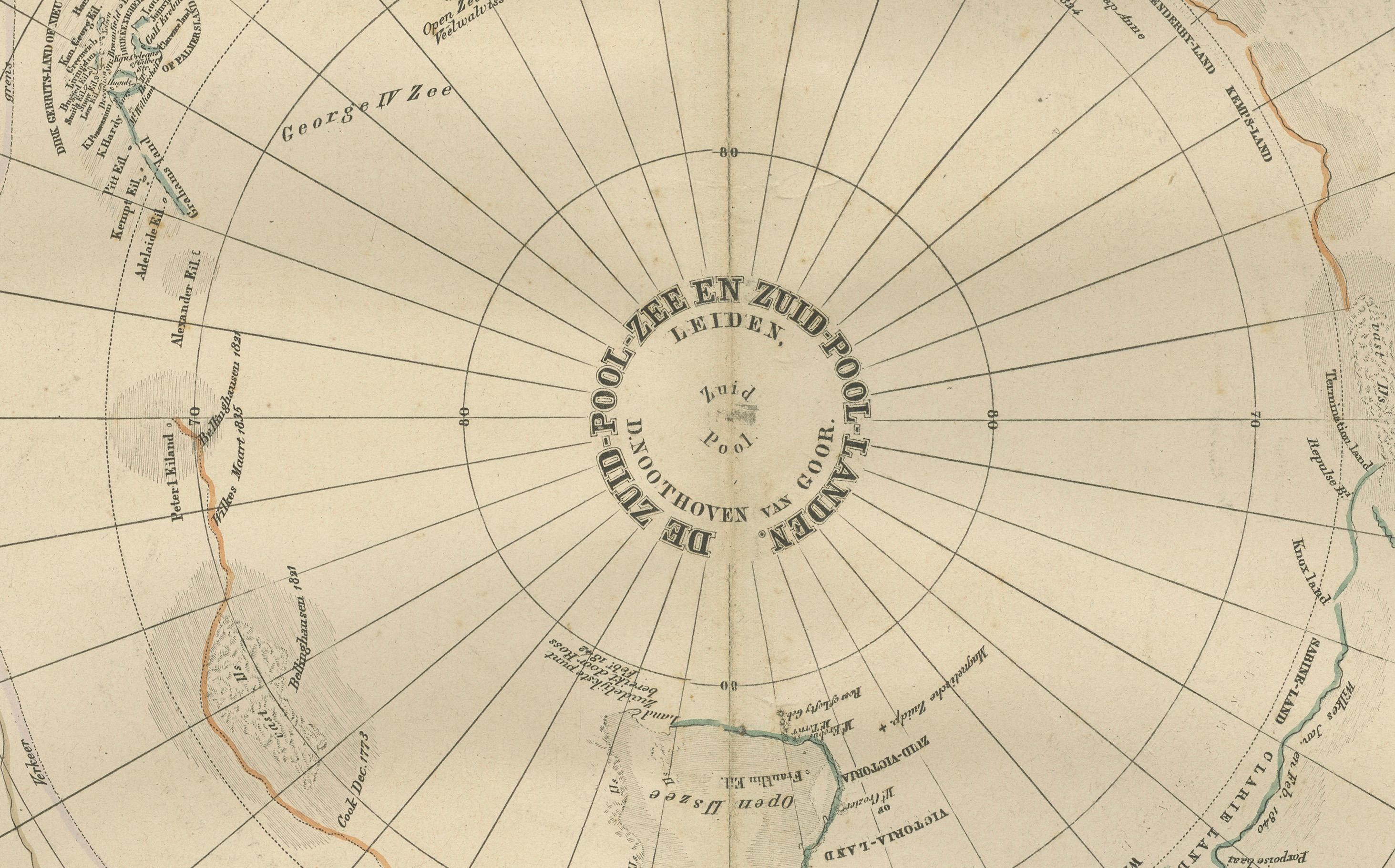
This impressive 19th-century circular map of the Antarctic region was published in Leiden by D. Noothoven van Goor for the *Nieuwe Hand-Atlas der Aarde* around 1876. It presents one of the era’s most engaging visual summaries of polar exploration, created at a time when Antarctica was still largely speculative, its coastline incomplete, and its continental form uncertain. The map is centred on the South Pole and radiates outward, showing the southern extremities of South America, Africa, Australia, and New Zealand, along with the fragmented and often conjectural outlines of the Antarctic continent as known during the mid-1800s.
The engraving reflects the accumulated knowledge from expeditions led by major explorers of the period. Among these are the voyages of James Cook, whose circumnavigation of the Southern Ocean is marked with clarity; the discoveries of Bellingshausen and Lazarev; and the early 19th-century British, French, and American expeditions led by Ross, Dumont d’Urville, and Wilkes. These routes and discovery points are carefully marked in fine linework, illustrating the uncertain and competitive nature of Antarctic exploration. Coastlines are often labelled with the names of the explorers who first recorded them, such as Victoria Land, Adelie Land, Enderby Land, and Graham Land, demonstrating the cartographer’s reliance on fragmented expedition reports rather than definitive surveys.
The delicate hand-colouring outlines the known and presumed portions of the Antarctic coast, differentiating speculative ice shelves from confirmed land masses. The map also depicts early oceanographic features, including major currents and sea routes across the Southern Ocean, linking the Cape of Good Hope, Tasmania, New Zealand, and Cape Horn. As a scientific document, it encapsulates the period just before the Heroic Age of Antarctic Exploration, making it a historically significant piece for collectors of polar history, cartography, and exploration narratives.
Large and visually striking, the circular projection gives the map a decorative appeal beyond its scientific value. It serves as both a study of geographic uncertainty and a reminder of the challenges faced by early polar expeditions attempting to chart one of the world’s most inhospitable regions.
Condition report:
Good condition for age. Light toning throughout. Scattered foxing in margins. Original centre fold as issued. No tears or repairs observed. Image area clean with only minor age spots.
Framing tips:
A wide off-white or ivory mat enhances the circular projection. Black or dark walnut frames give a classic, museum-style presentation. Floating the map in a shadow-box frame also works well due to the strong geometric form.
Keyword block:
Antarctica, South Pole, polar exploration, Southern Ocean, James Cook, Ross expedition, Wilkes expedition, Dumont d’Urville, Bellingshausen, Victorian cartography, 19th-century map, Dutch atlas, Noothoven van Goor, circular map, exploration routes, early Antarctic discoveries, southern hemisphere map, antique engraving.