Maps & PrintsBartele Gallery · Langweer
Home / Antique Maps / Africa

Africa · 18th century

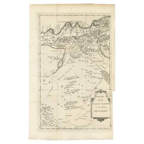
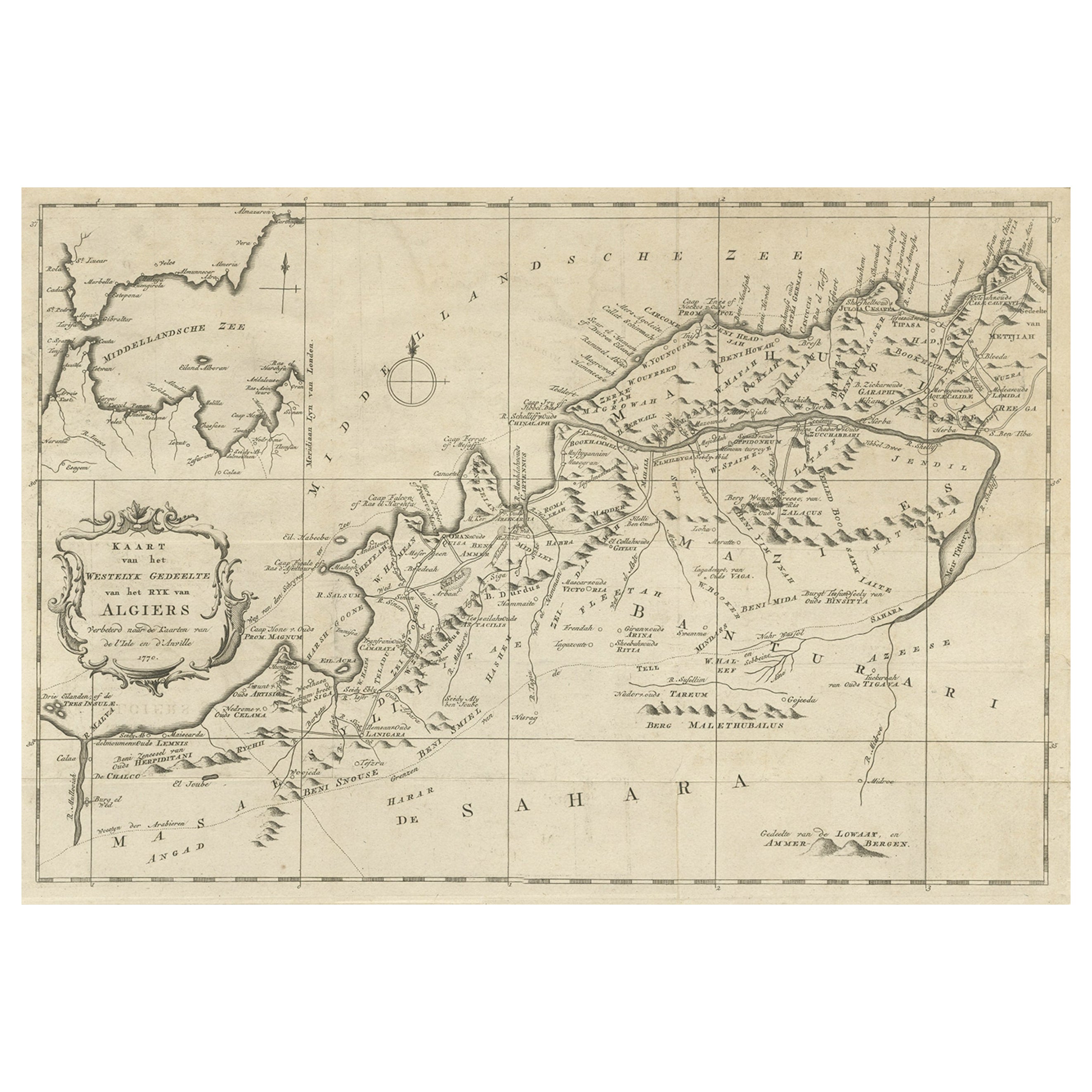
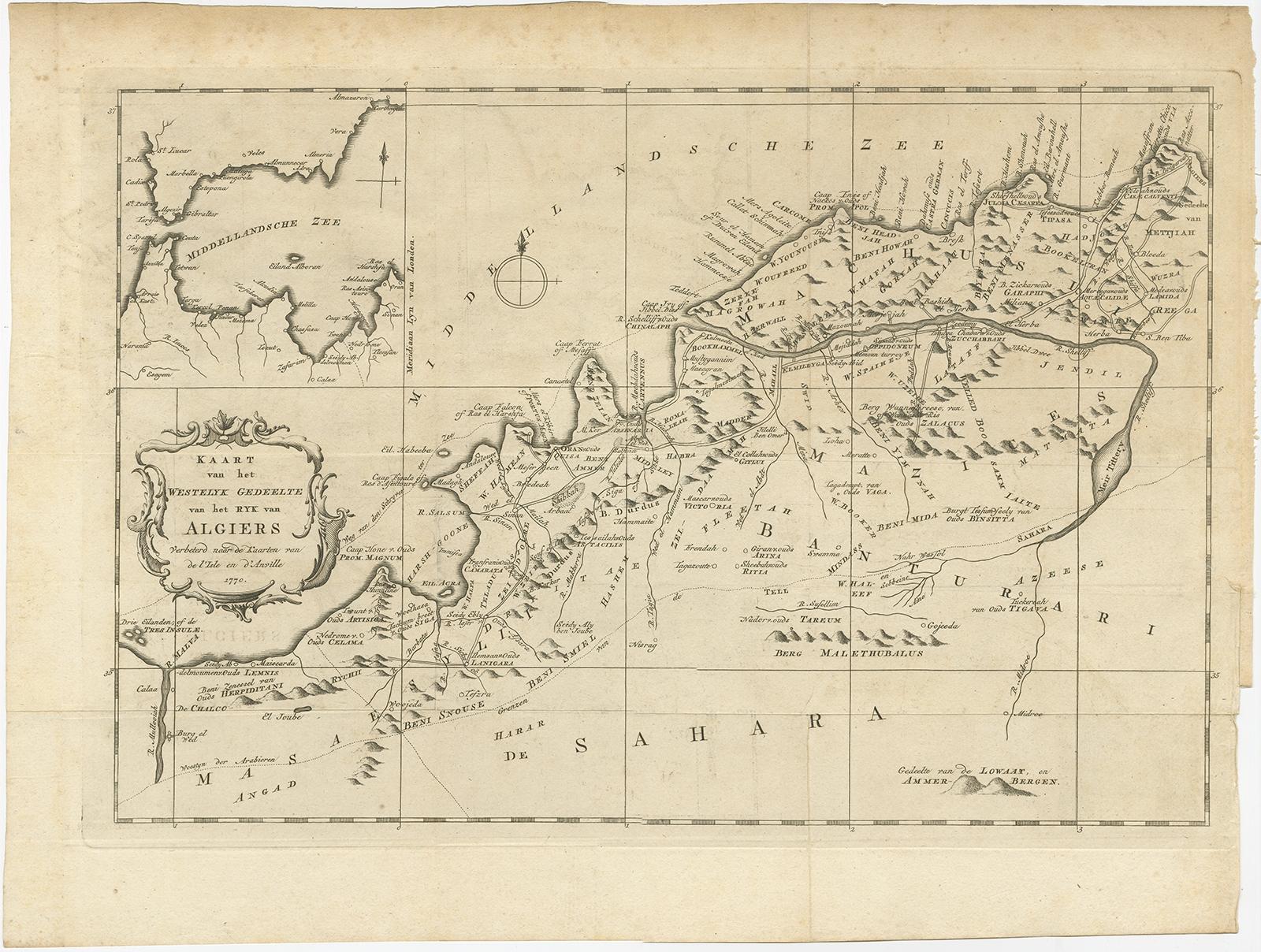
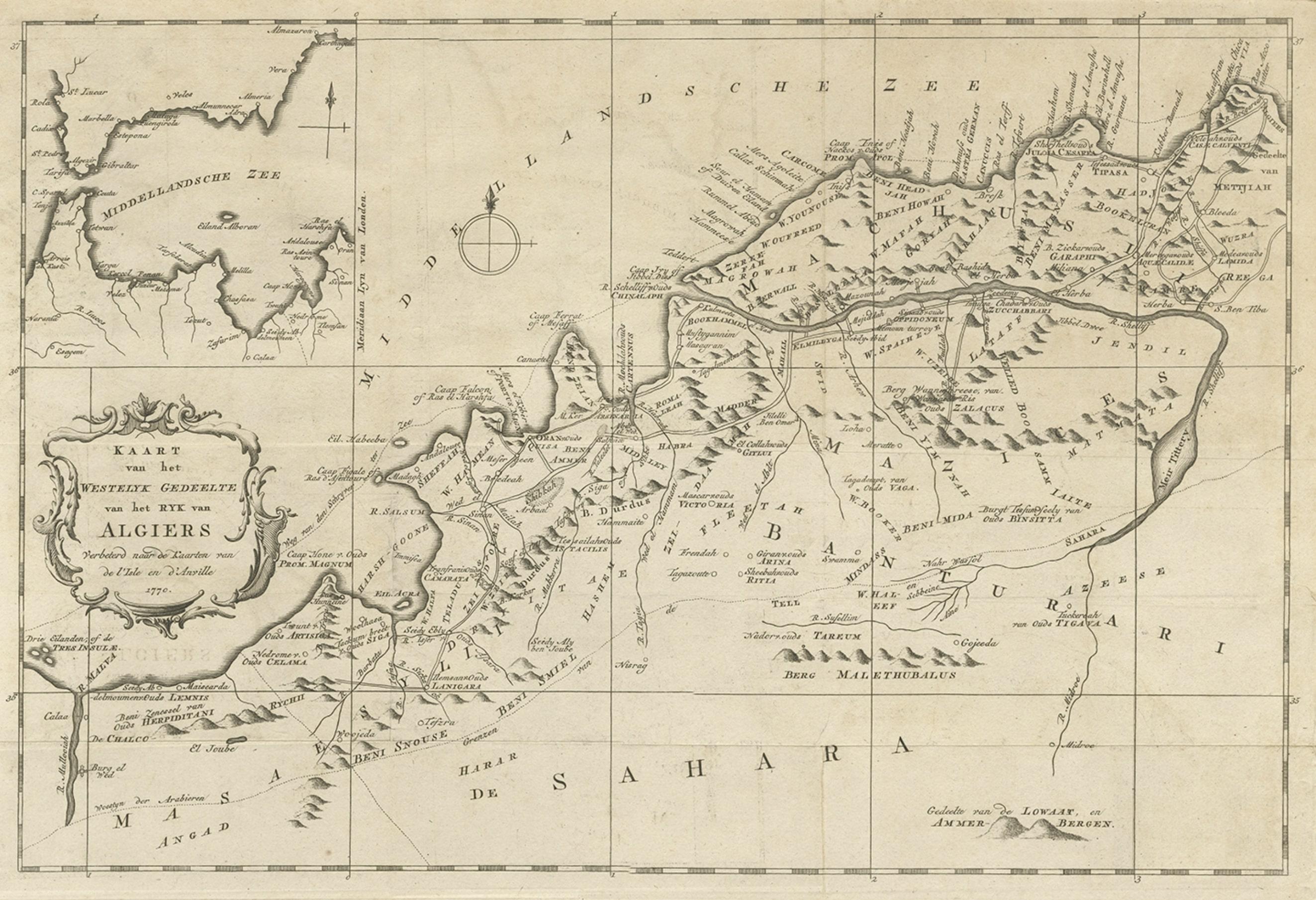
Old Map of the Western Region of the Kingdom of Algiers, Algeria, 1773

€ 380

Original antique · The actual sheet photographed · Certificate of authenticity on request · Sold unframed · Worldwide shipping from € 15 (rates)

Date
1773
Sheet size
36.5 × 48.5 cm (14.4 × 19.1 in)
Condition
Good
Reference
BG-11797-30

Condition

General age-related toning. Repair right margin. Please review the images for further condition details.

About this sheet

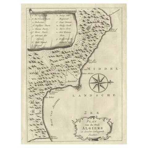
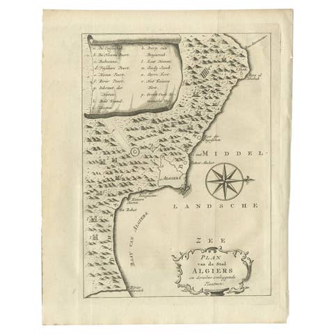
Antique map titled 'Kaart van het Westelyk Gedeelte van het Ryk van Algiers'.

Old map of the western region of the Kingdom of Algiers, Algeria. Originates from the first Dutch editon of an interesting travel account of Northern Africa titled 'Reizen en Aanmerkingen door en over Barbaryen en het Ooste'.

Artists and Engravers: Author: T. Shaw. Translated by P. Boddaert and published by J. van Schoonhoven.

More from Africa

Ask about this sheet

Old Map of the Western Region of the Kingdom of Algiers, Algeria, 1773
1773 · Ref. BG-11797-30 · € 380
We reply by email, usually within one working day.