Antique Utah Landscape Print, Round Prairie & Timpanogos Valley, 1861
€ 280
Original antique · The actual sheet photographed · Certificate of authenticity on request · Sold unframed · Worldwide shipping from € 15 (rates)
Date
1861
Sheet size
21.5 × 28 cm (8.5 × 11.0 in)
Condition
Good
Reference
BG-14038-163
What the condition grades mean
Excellent
Bright and clean, with no faults worth mentioning.
Very good
Only light signs of age, such as faint toning.
Good
Normal signs of age for a sheet of this period: toning, some foxing, small marks or neat old repairs.
Fair
Clear faults such as staining, tears or repairs, priced to match.
Every fault we see is written in the condition note, and the whole sheet is shown uncropped in the photos.
Condition
Good condition with age-related toning and light spotting, mainly in the margins. Small binding holes visible in the lower border. Image remains clean with strong detail. Plate mark visible.
About this sheet
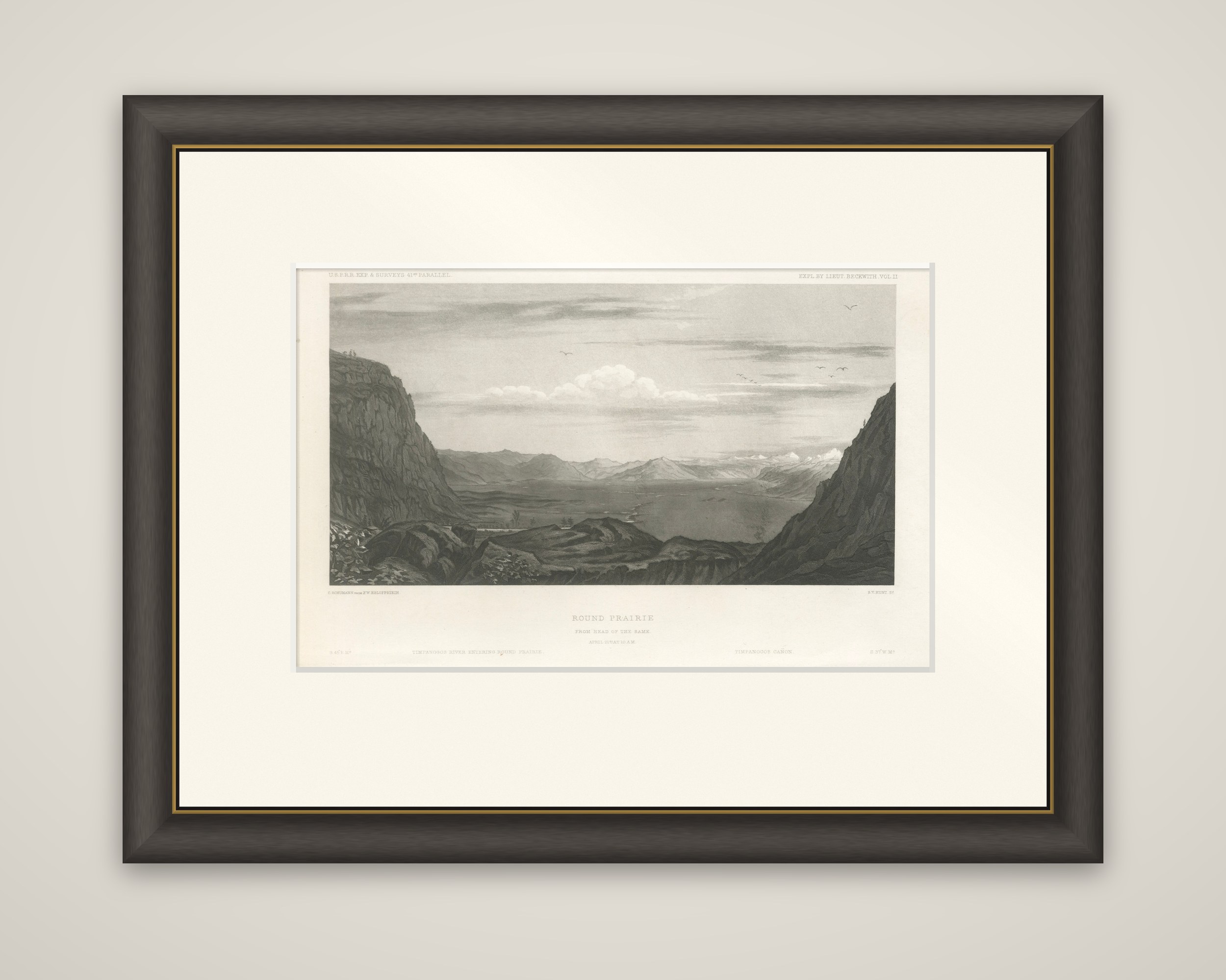
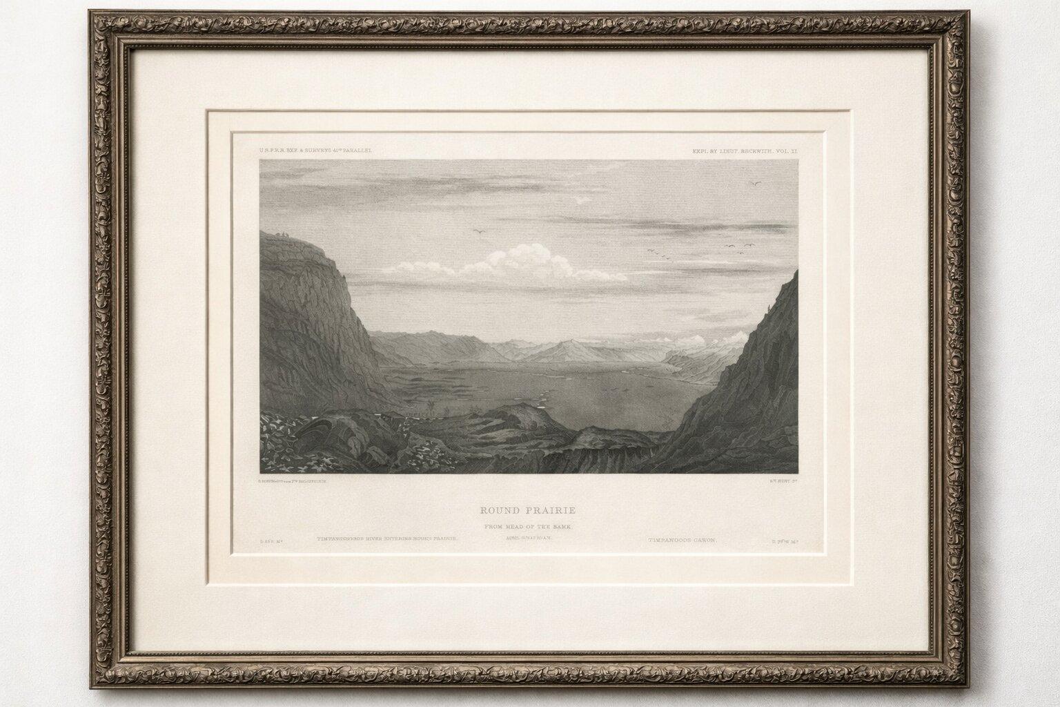
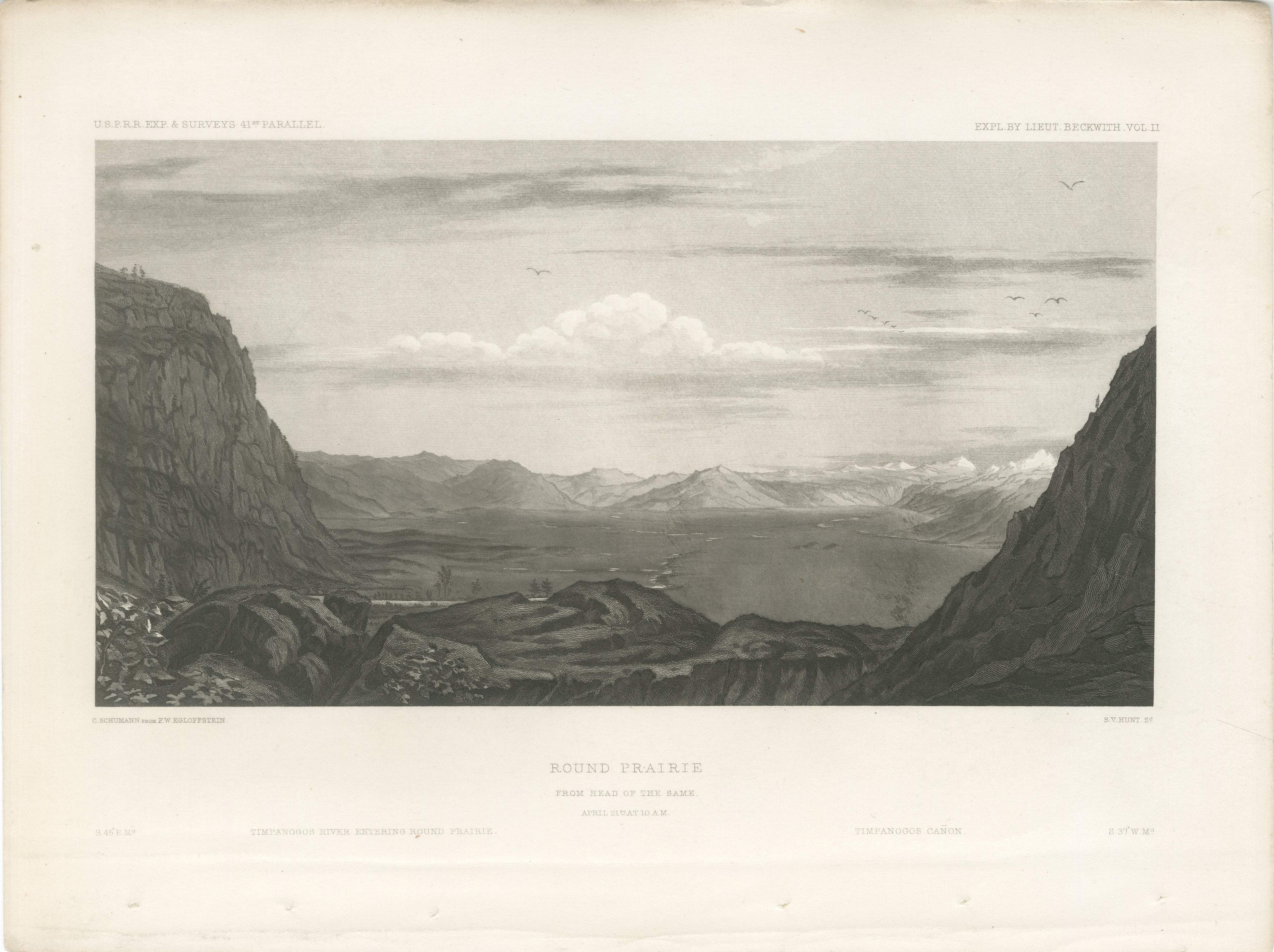
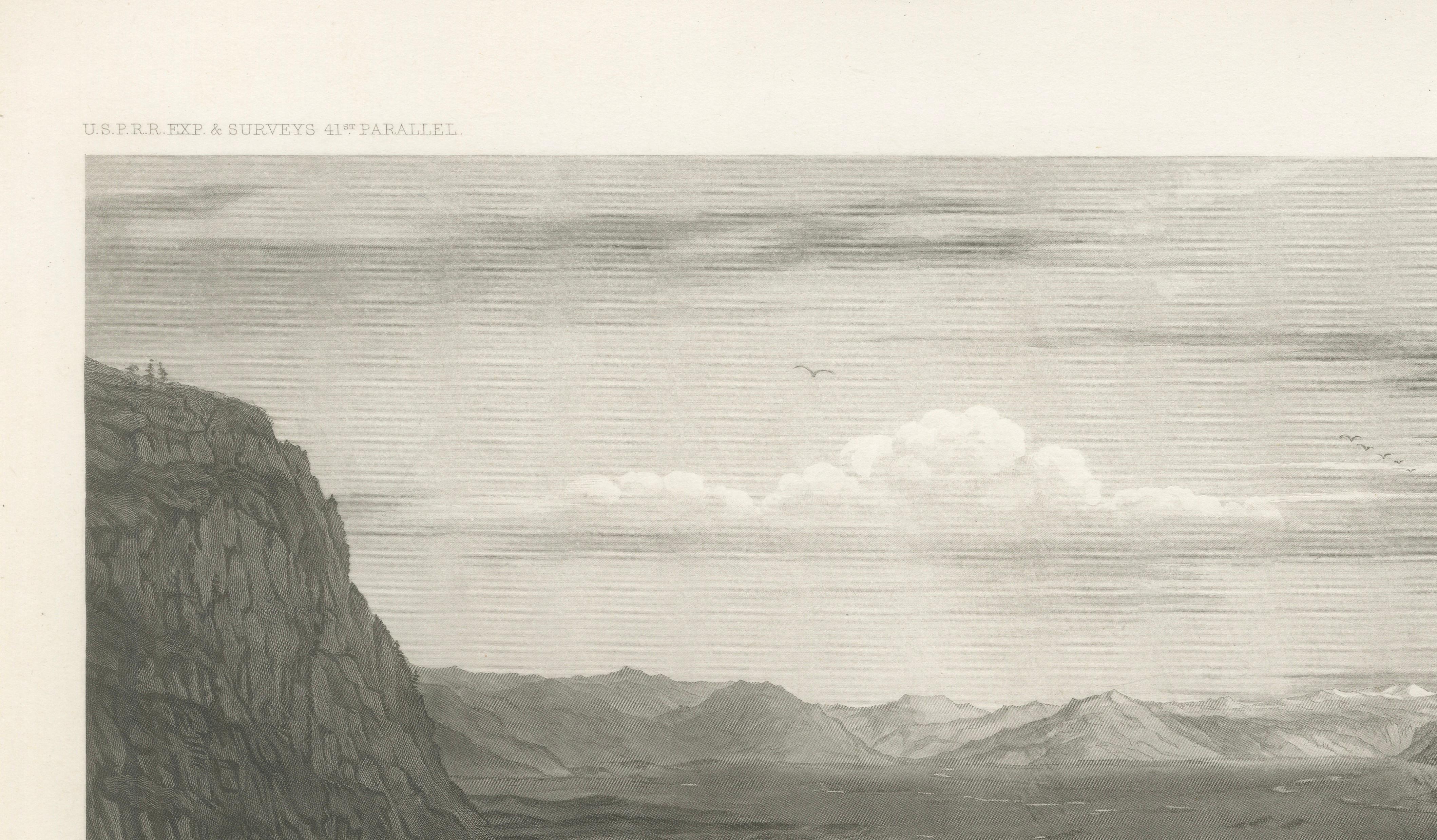
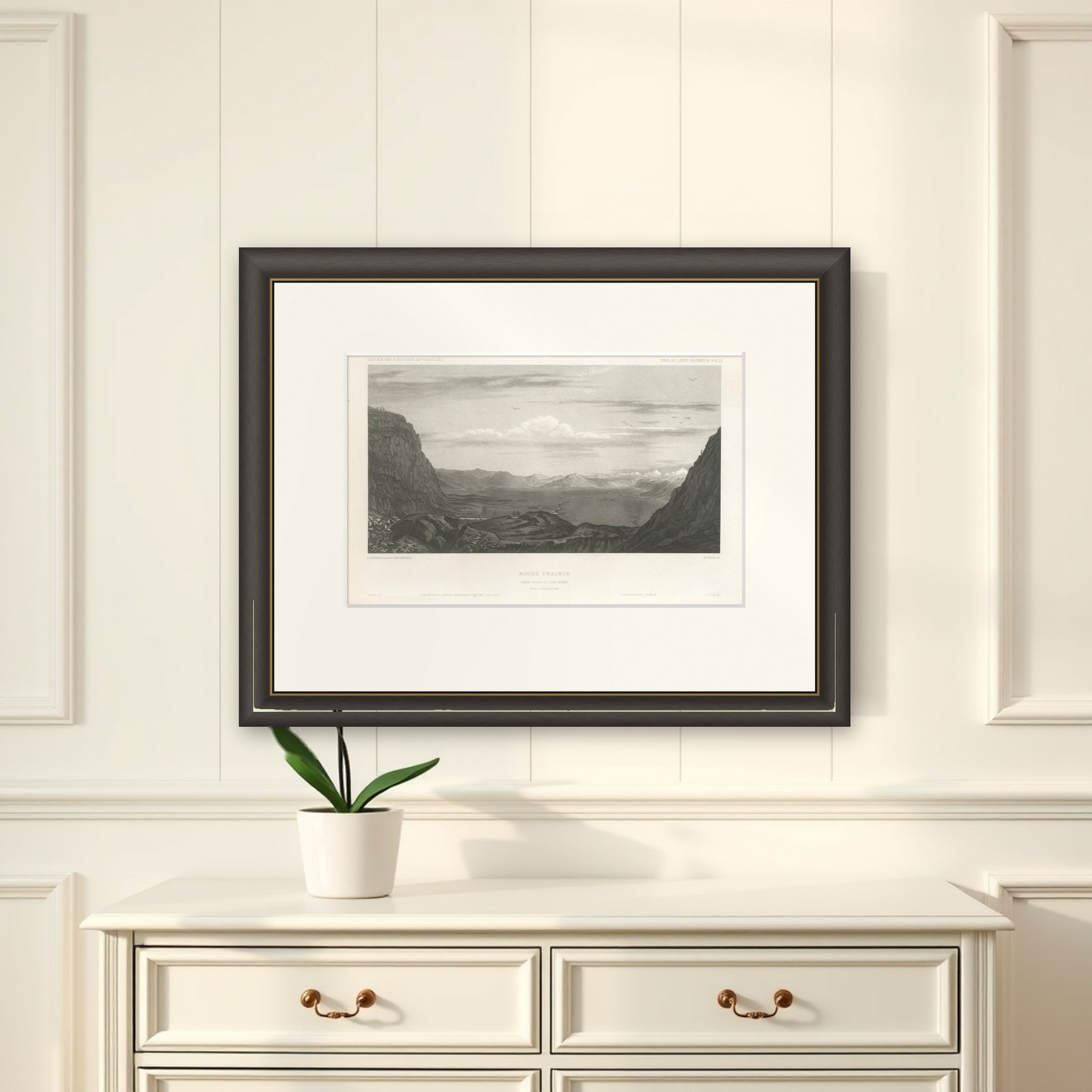
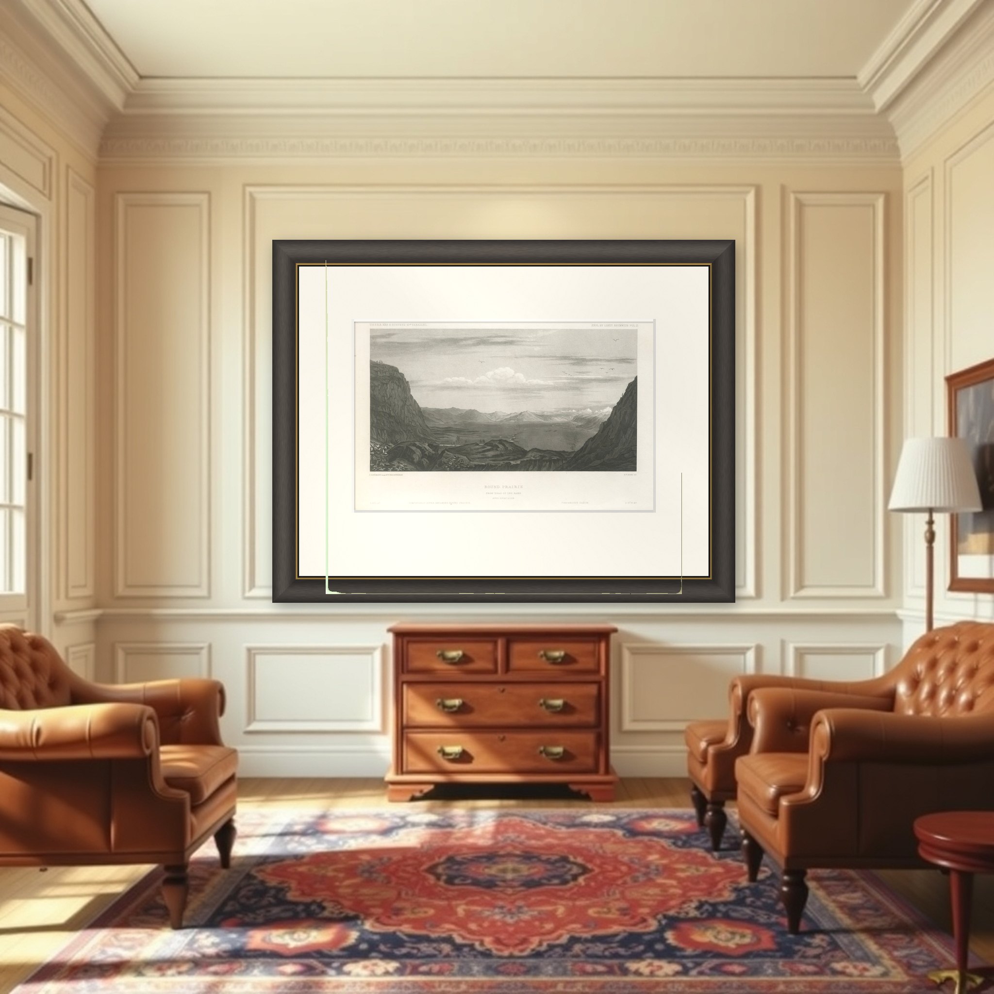
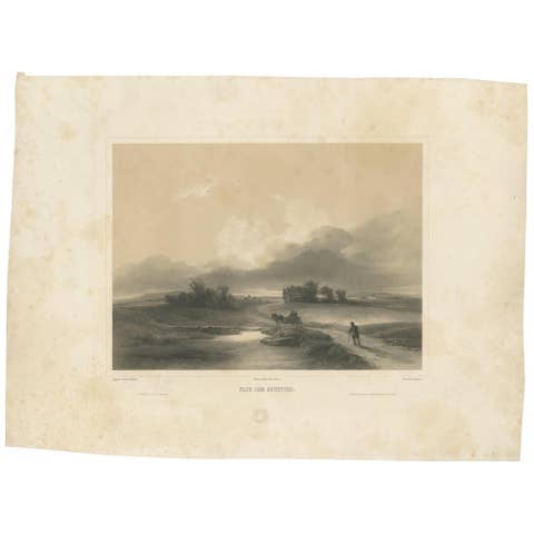
Round Prairie in the valley of the Timpanogos River, Utah, an original steel engraving from the Pacific Railroad Surveys, printed in Washington, D.C. around 1860 to 1861. The top lettering reads "U.S.P.R.R. Exp. & Surveys 41st Parallel" and "Expl. by Lieut. Beckwith, Vol. II", and the plate is titled "Round Prairie, from Head of the Same", with the date of drawing noted beneath.
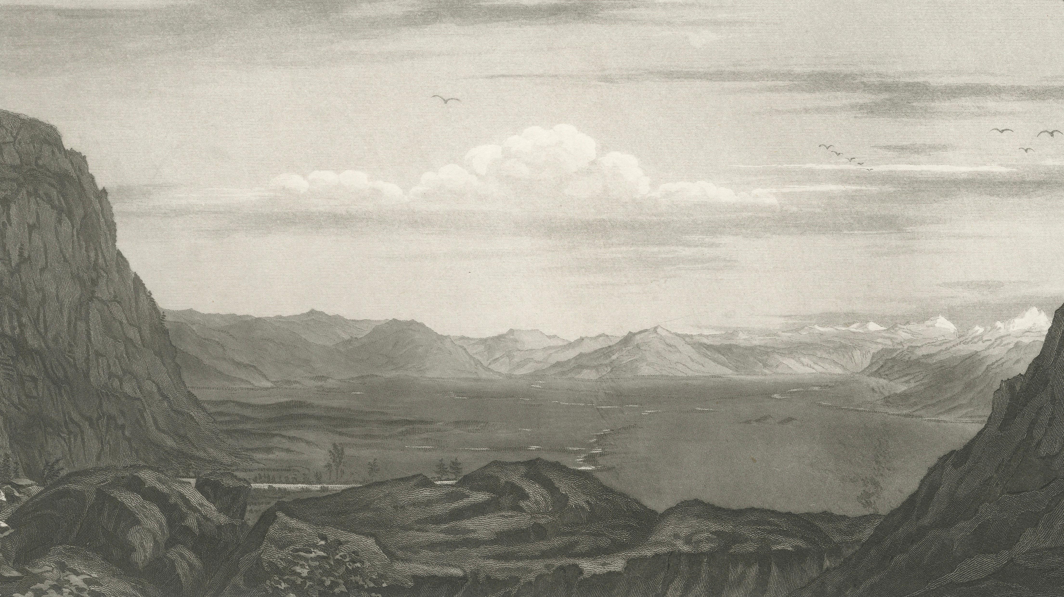
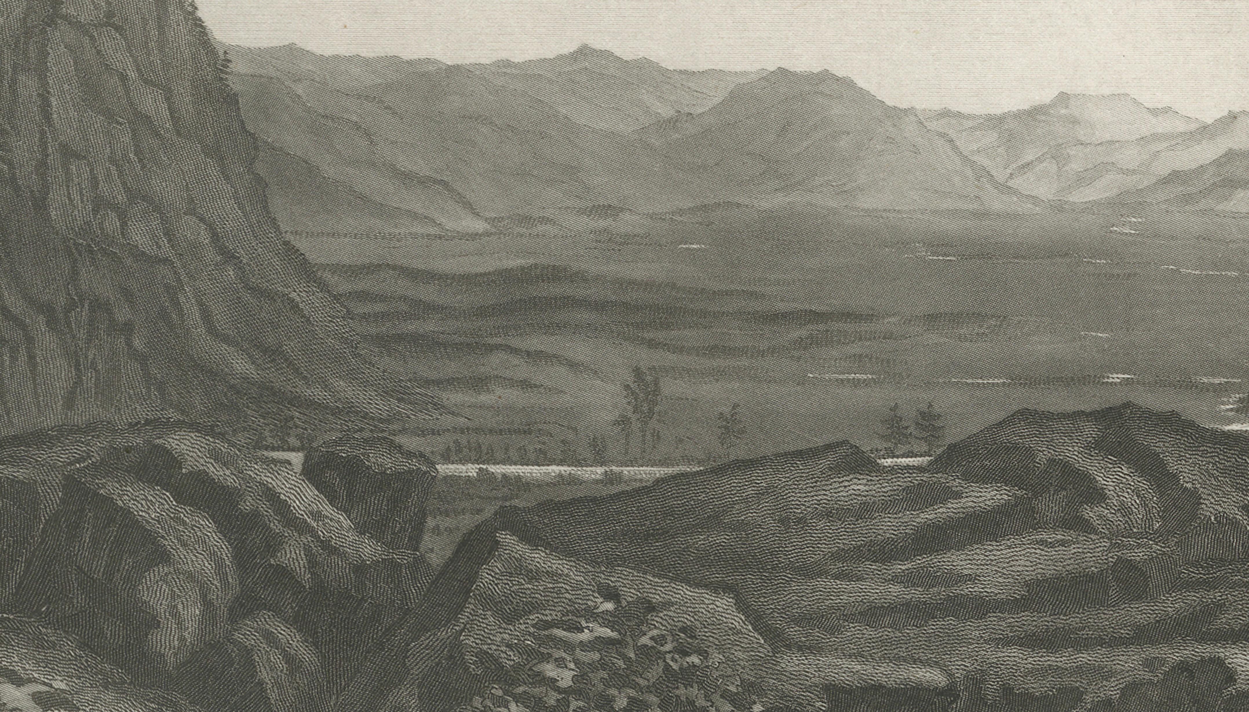
The view is framed by two dark rock walls, the left one a steep, shadowed cliff and the right a rising slope, opening onto a broad basin seen from above. The flat floor of the prairie fills the middle distance, a river runs into it, and a long chain of mountains with snow along the crest closes the horizon. Low clouds and a flight of birds animate the sky. Small labels along the foot of the plate name the surrounding features, among them the Timpanogos River and Timpanogos Cañon.
The view was drawn by F.W. Egloffstein and engraved by C. Schumann. The survey along the 41st parallel, under Lieutenant Edward G. Beckwith, was one of several expeditions sent to find a practicable railroad route to the Pacific.